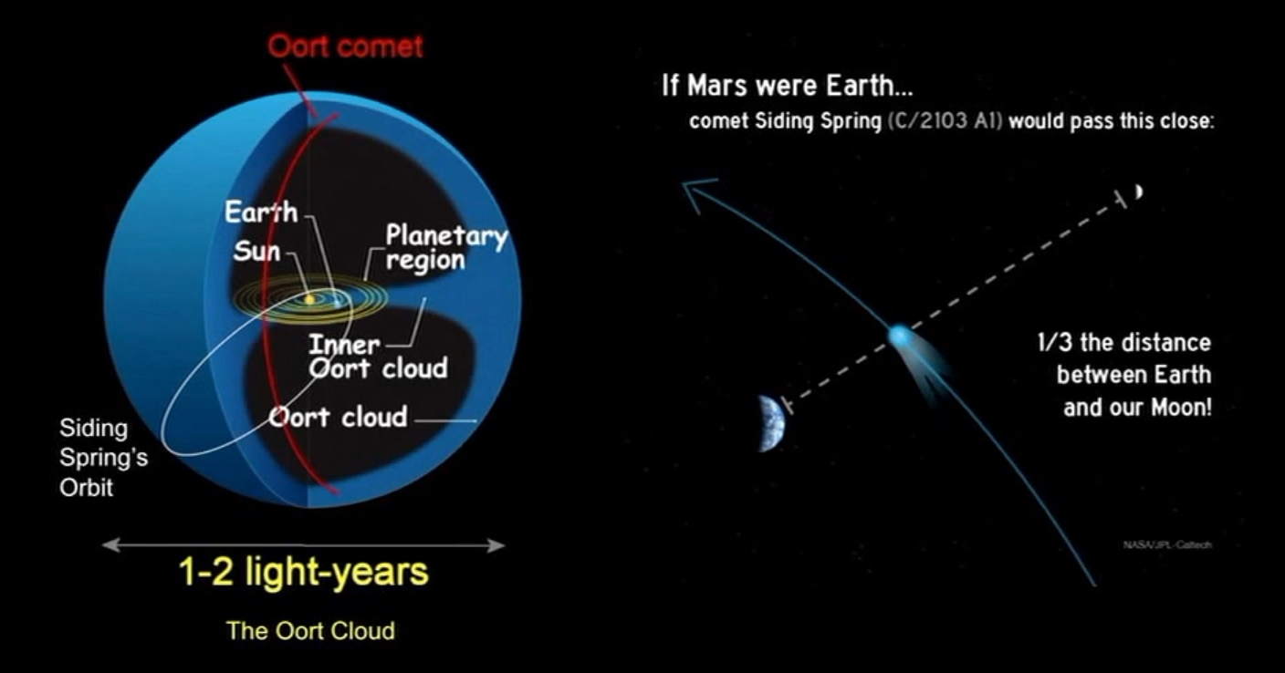
After what has been a relatively quiet period in terms of news from Mars, things are once again proving interesting.
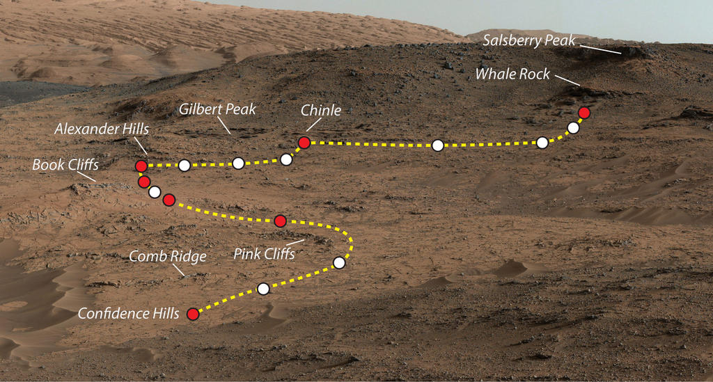
The first uptick came following the start-of-month teleconference Mars Science Laboratory personnel held to summarise the results of the last several months of activities the Curiosity rover has been performing in Gale Crater. In particular, these have allowed scientists to better determine how the 5 kilometre high mound at the centre of the crater may have been formed.
Even before Curiosity arrived on Mars, sufficient evidence had been obtained from orbit to show that features in and round Gale Crater were likely influenced by water-related activity. Curiosity itself found evidence for water once having flowed freely across parts of the crater when it encountered the beds of ancient rivers and streams as it explored the regions dubbed “Glenelg” and “Yellowknife Bay”.
With the journey down to “Mount Sharp”, and NASA call the mound, and the recent explorations of its lower slopes, the science team have been able to piece together the processes that led to its formation.
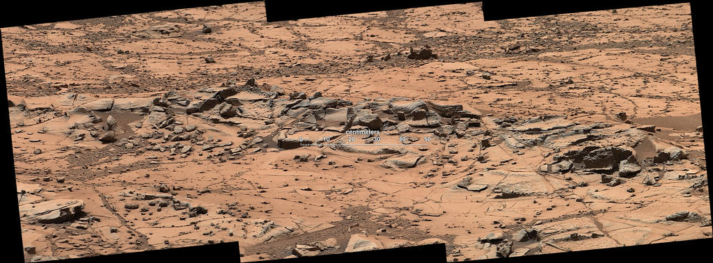
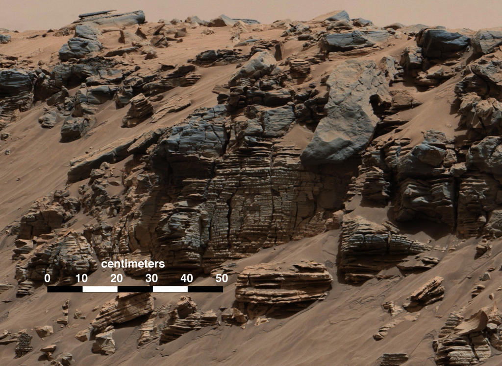
The first clues came while Curiosity was still en route to the point where examination of the “Mount Sharp’s” lower slopes could begin. As it drove southwards and towards the mound, the rover started to encounter layered sandstone deltas, all inclined towards “Mount Sharp”. On Earth, such layered, angled deposits are found where a river flows into a large lake.

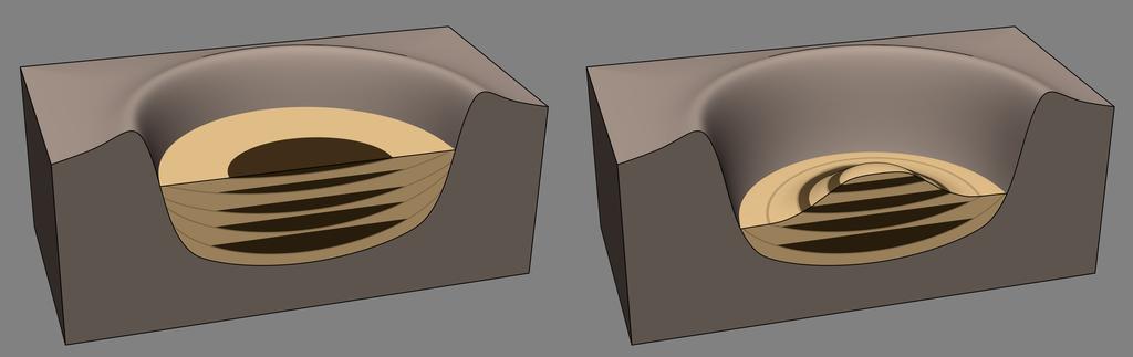
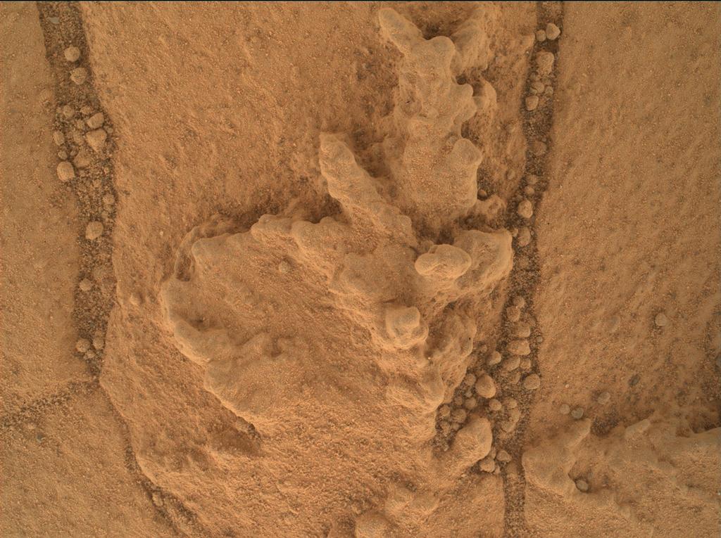
Once in the foothills of “Mount Sharp”, in the area dubbed “Pahrump Hills”, Curiosity has repeatedly come across layers of tightly-compacted sedimentary mudstone which are entirely consistent with the sedimentary layering found in the muds and rock in lake beds on Earth. Intriguingly, while most of these layers appear to have been formed by sediments settling out of a large, still body of water, some of them appear to have been affected by wind erosion.
This latter point would indicate that rather than the crater floor once being covered by a single body of water which gradually vanished over time, it was subjected to cycles of wet and dry periods, giving rise to a number of lakes forming within the crater over the ages, each one only a few metres deep. As the water receded / vanished during the dry periods, so the uppermost layers of each lake bed were exposed to the wind, eroding them, before the next wet period started, and a new lake formed, gradually depositing more sediments on top of them.
Thus over a period of millions of years, Gale Crater was home to numerous lakes, each of them fed by assorted rivers and streams flowing into them, giving rise to the alluvial plains around the base of the crater walls, and the sedimentary deltas closer to “Mount Sharp” where these rivers and streams met the standing waters of each lake.
This view of Gale Crater is further supported by measurements of the deuterium-to-hydrogen ratio in the rocks sampled by Curiosity. These suggest that the sediments the rover is now examining were laid down during a period when Mars had already started losing its surface water, suggesting an extended period of climatic change on the planet, where the amount of free-standing water may well have been in flux.
Once the water had completely vanished from Gale Crater, it seems likely that “Mount Sharp” was sculpted by wind action within the crater. Thus, it is thought, would have eroded the material of the alluvial plains faster than the more densely compacted mudstone formed under the weight of the successive lakes.