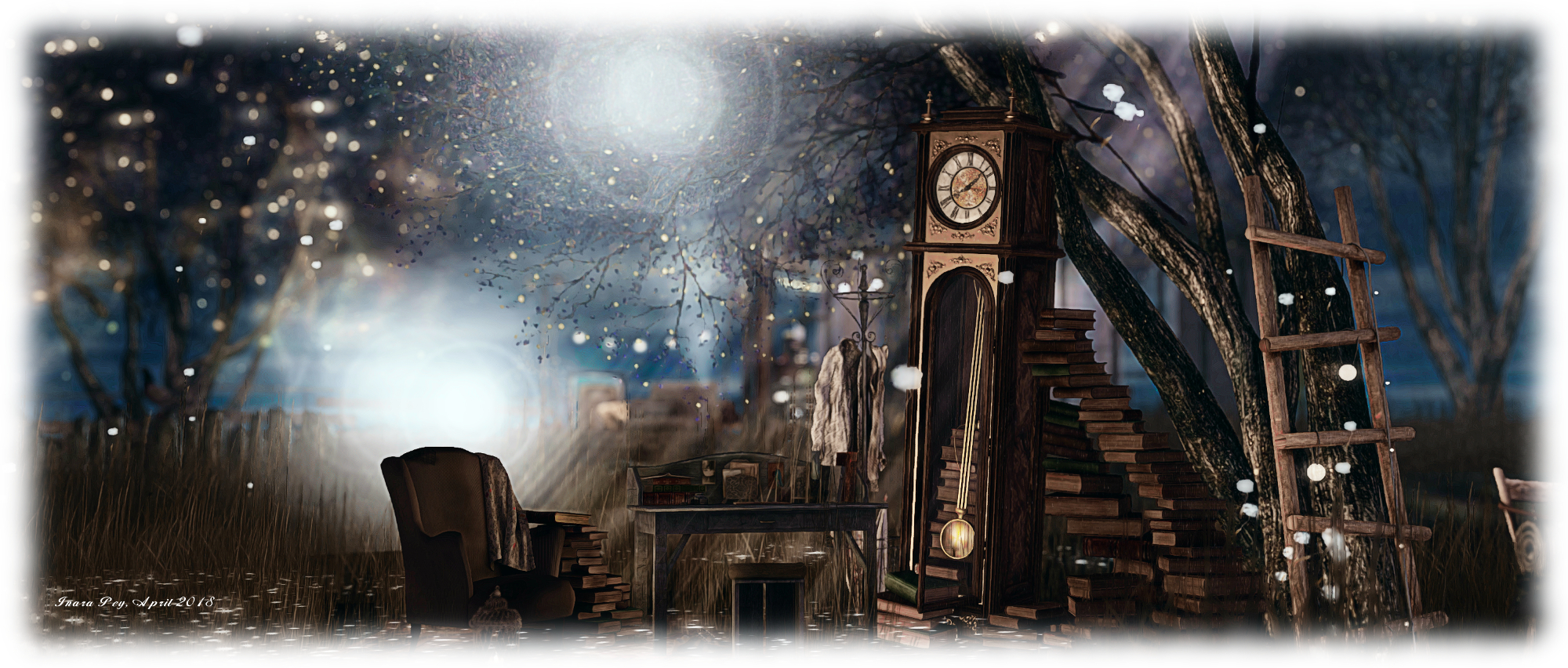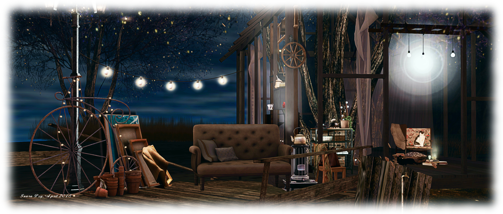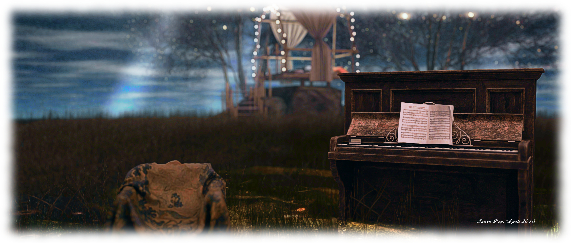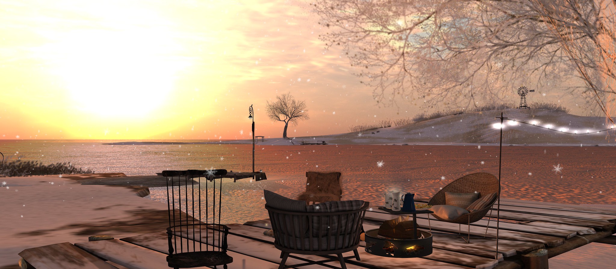
Spring and romance at Luane’s World in Second Life

Luane's World; Inara Pey, April 2018, on FlickrLuane’s World – click any image for full size

It’s been two years since I first visited Luane Meo’s Luane’s World and some fifteen months since a last visit to the neighbouring Luane’s Magical World – so a re-visit to both was long overdue.

Luane’s World, home to Luane’s store of the same name, tends to change with the seasons, offering visitors something new to see as each year progresses. At the time of our April visit, the region was sporting a springtime look, rich in greens on boughs and underfoot, with just a hint of summer blossoms to be seen and flowers blooming in the grass. A visit begins (as always) at the store, located in the north-east corner of the region.
Luane's World; Inara Pey, April 2018, on FlickrLuane’s World – click any image for full size

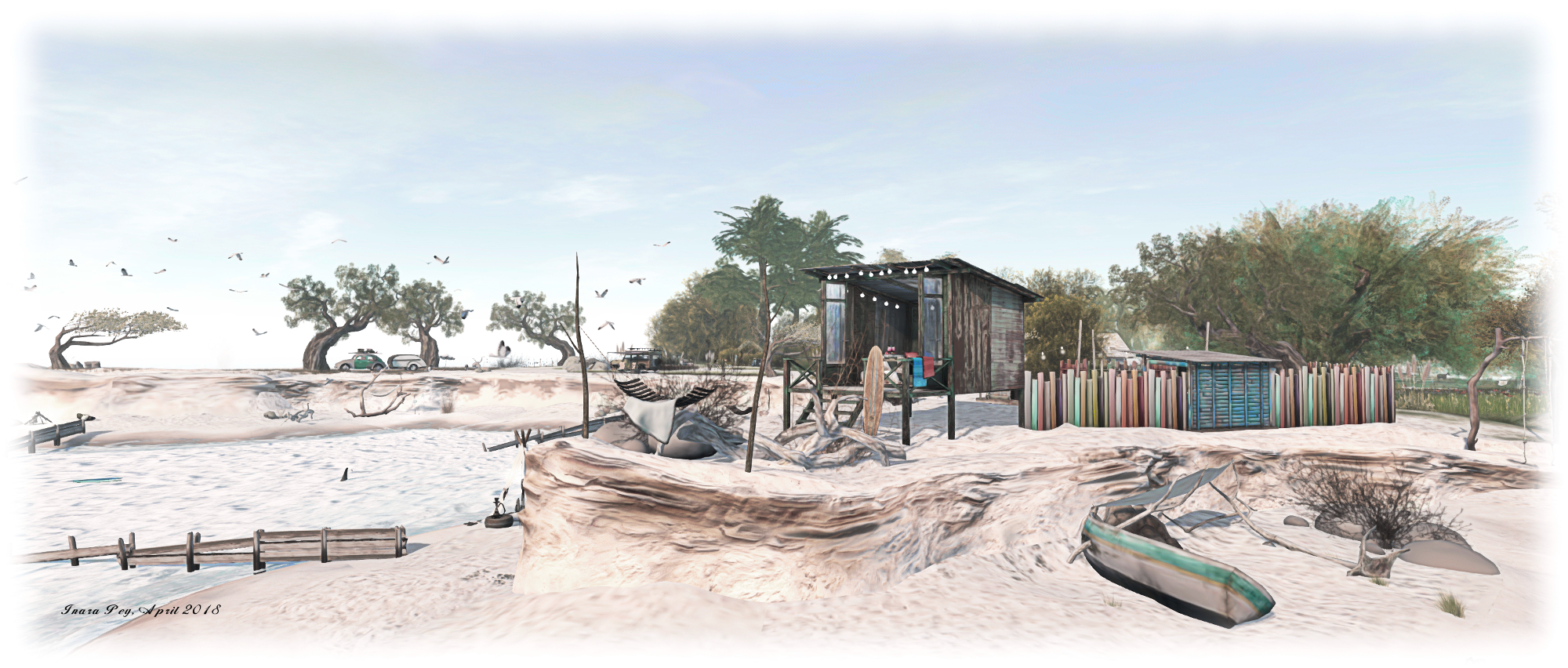
From here, three paths mark possible routes of exploration. Two, marked by stepping-stones, lead the way south and east and south and west, respectively offering routes to  Luane’s Magical World or out into Luane’s World itself. A third dirt-topped paths bends north-east, leading to Luane’s World – Live the Dream, a third Homestead operated and designed by Luane. However, as this is largely private rental properties (enquiries to Luane), we opted to respect people’s privacy and keep out, despite the public paths leading partway around the region.

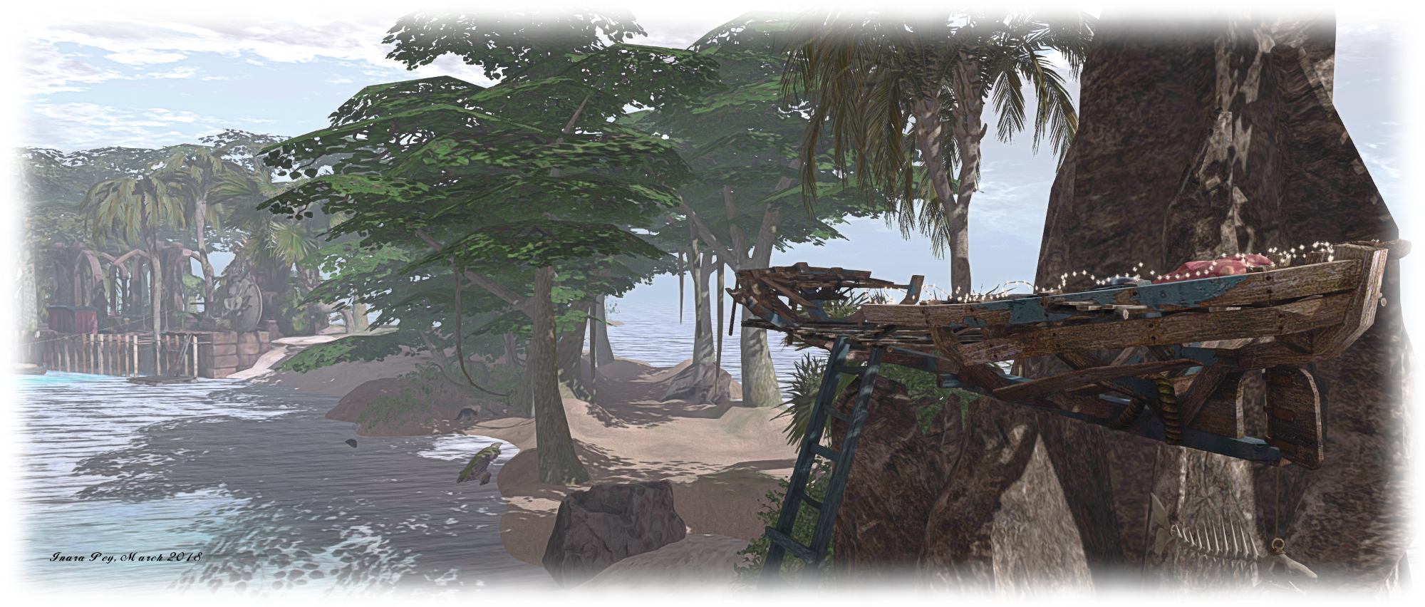
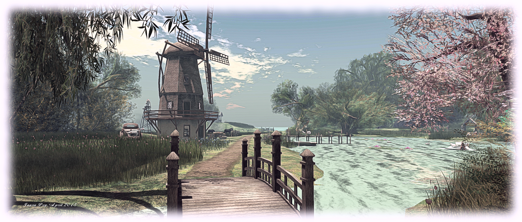
The path point south-west into Luane’s World leads you along the banks of the waterway which cuts between the region and Luane’s Magical World from the south, feeding into a large hearted-shaped pool of water sitting at the centre of the region.  The path circles this pond, carrying itself over the little channel feeding it to offer the way to an old windmill on one side, and the way past a cosy little café to where it branches, leading the way past a tree house to a beach that curves around the north and west of the region.  Above the beach to the west, the land rises a little, providing space for an old fort, watched over by a lighthouse sitting just off the coast.

Luane's World; Inara Pey, April 2018, on FlickrLuane’s World – click any image for full size

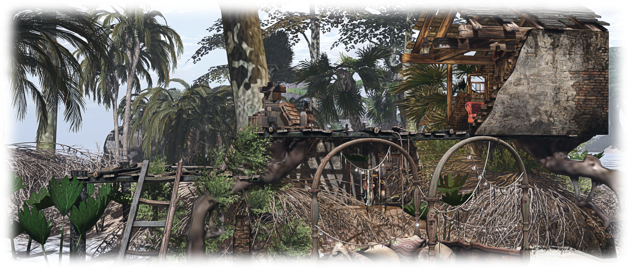
Throughout the region are plenty of places to sit, cuddle and relax – such as the little cottage on the little southern island or scattered across the beach.

Across the water to the east, reached by either stepping-stones or a wooden bridge, is Luane’s Magical World. Hidden by a veil of mist, this is definitely a place for lovers and romance. Frosted tree a spread across waters frozen in time. In this, it remains similar to the first time we visited in December 2016. However, beneath the boughs, the environment has changed – most obviously in the frozen water replacing the snows.

Luane's World; Inara Pey, April 2018, on FlickrLuane’s Magical World

There is no set path through this region, it’s a place to wander and let go of time – although fallen leaves suggest footpaths to follow. Lights glow from the frozen trunks and branches, whilst waiting to be found throughout the region are places to sit and cuddle. These range from an old greenhouse to beds under nets to a hanging chair suspended from a leaf and watched over by unicorns, to a tent guarded by albino elephants.

Elsewhere, under a table of rock at the northern end of the region there are tunnels and caverns awaiting exploration, while those seeking a celebratory meal will find it in an old gazebo, or if a romantic dance is preferred, the impressive ruins of a Gothic chapel offers a stone flagged floor and dance machine.

Luane's World; Inara Pey, April 2018, on FlickrLuane’s Magical World

Luane’s World and Luane’s Magical World can be visited individually or together, depending on your mood. Both offer plenty of opportunities to share time together, and both are beautifully designed (as always) by Luane, and make for memorable visits. Should you take photos during your visit, consider adding them to the Luane’s World Flickr group.

SLurl Details

The Hamptons in Second Life

The HAmptons; Inara Pey, April 2018, on FlickrThe Hamptons – click any image for full size

A homestead region designed by Haye Von Ayenhaha (Haye Aya), The Hamptons offers a taste of the great outdoors, inspired by Northern East Coast or Western European landscapes. It’s a photogenic location, with a rich mix of landscape, walks, hints of human presence and places for couples to enjoy.

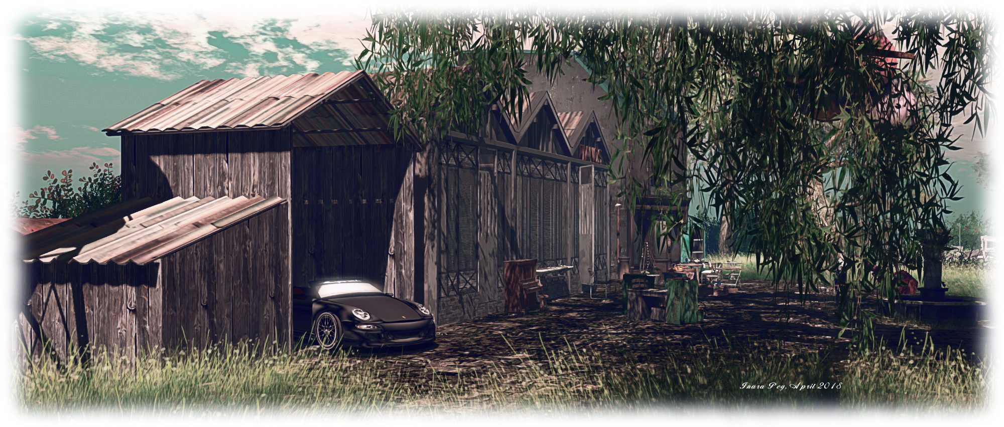
The land is split into three long-fingered rocky islands, linked by high wooden bridges. The western most of these island is where the landing point is located, on the broken courtyard of a former piano factory. It shares the courtyard with the detritus of the factory, a little café-style space, and assorted vehicles. South of this is a private area of the island, with ban lines warning people to keep out – a sign and security orb might be more preferable, but that’s a minor point; the rest of the region is nicely open to exploration.

The HAmptons; Inara Pey, April 2018, on FlickrThe Hamptons

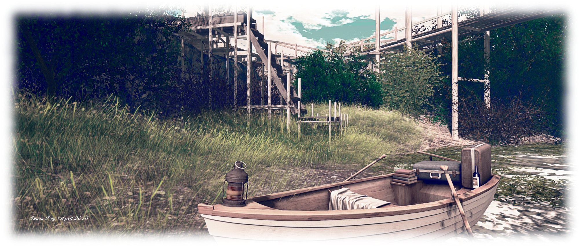
North of the old factory are board walks overlooking the ocean, places to sit and cuddle, and a bridge linking the western island with the middle one of the trio. A second board walk angles away from the bridge, offering a way down into the gorge separating the two islands, where a rowing boat offers another cuddle spot. It’s possible to walk along the edge of the water here – just mind the bushes! – but remember, the south end of the island is off-limits.

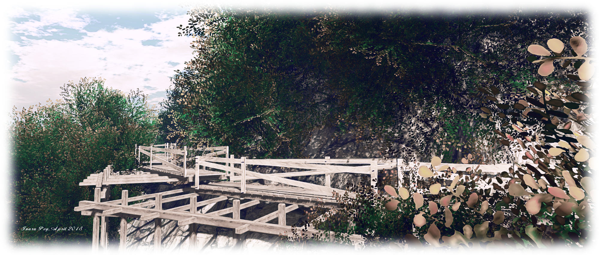
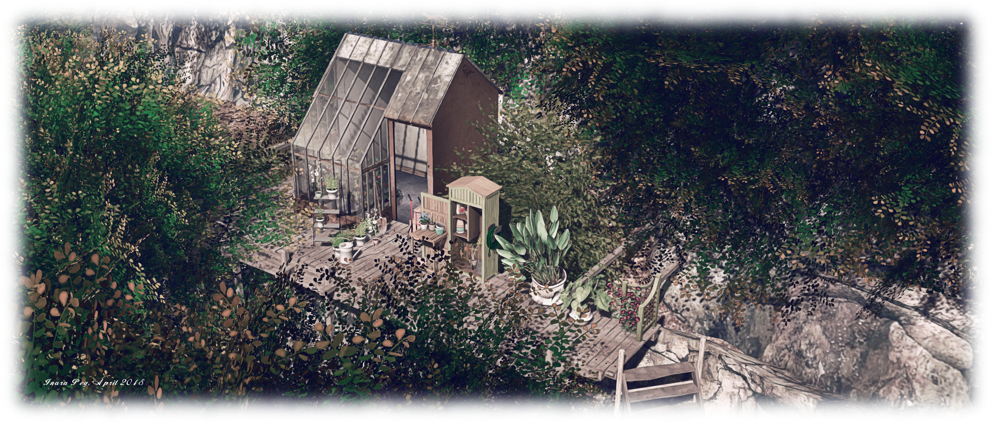
The middle island flows around a large rocky spine into which an old mine shift drills its way back to a large cavern. Paths snake around either side of this backbone, the one to the west leading to a little terrace garden connected by wooden steps and low bridge to the private house. The terrace with its green house and potted plants can be visited, but the bridge to the house is again off-limits.  The path on the east side of the island offers views towards the final island in the group, and a board walk build out from the cliffs courtesy of a sturdy scaffold. An old barn sits part-way around the path, and another cuddle spot sits at the end of it.

The HAmptons; Inara Pey, April 2018, on FlickrThe Hamptons

Reached via another bridge, the final island of the three offers a more open-topped plateau than the others, the trees here fewer, allowing for open rugged grass to carpet it under the sky. Again, an arc of board walks offers a view out over the sea to the east, a single wooden stairway leading down to a shoreline platform – note this is signposted as being reserved for women only! There’s a little bit of an oriental theme here – a little Japanese-style structure sits on the plateau while down on the shore of the channel between this and the middle island a larger house is under construction.

An interesting aspect of the region is that Haye has used a number of her own custom mesh builds to fit the design – notably the board walks and steps; this greatly add to the feeling that a good deal of care and attention has gone into the design.

The HAmptons; Inara Pey, April 2018, on FlickrThe Hamptons

The Hamptons is a delightfully uncomplicated region design, very photogenic under a range of windlights, and presenting visitors with a quiet place in which to pass the time. The construction work I spotted suggests the region is still evolving, so don’t be surprised if you find more than I’ve described here.

All told, a very pleasing and relaxing visit.

The HAmptons; Inara Pey, April 2018, on FlickrThe Hamptons

SLurl Details

A Green Story of two halves in Second Life

Green Story; Inara Pey, April 2018, on FlickrGreen Story – click any image for full size

Green Story is a homestead region design by Dior (Rich Canis), who states to those visiting, “You have to relax here. You have to think here.” The twin ideals of relaxing and thinking somewhat reflect the matter in which this is a region largely of two halves.

A visit commences up in the sky, where a night scene awaits to capture eyes and thoughts. Perhaps a little dark for some, the rain adding to the atmosphere, this is a place that takes careful exploration, as not everything is immediately visible. As the landing point is on a wooden dock, be careful where you tread until things have rezzed.

Green Story; Inara Pey, April 2018, on FlickrGreen Story

Off to the left, a semi-ruined tower rises, reached by what appears to be charcoal sands – be careful on crossing them, as they’ve been set to phantom. A staircase rises from the seaward side of the tower, offering a way up to the first level, where a swing and poses can be found. Above, on the roof, is another place to sit, and a dance machine – but how you get up there is a matter of personal preference.

Across the landscape from the tower, a plateau rises, a path switch-backing up one side. It’s top forms what appears to be a place of worship, partially walled, a folly forming the centre of contemplation as the rain falls outside. A statue stands in the lee of an old watchtower, while behind the plateau a steep hill rises. It is not connected to the plateau in any way, so again, finding your way up to the trees houses crowning it is up to you.

Green Story; Inara Pey, April 2018, on FlickrGreen Story

Scattered across the low-lying lands are more places to sit, indoors and out, and bric-a-brac of all kinds lies scattered around, while lights are strung from the trees to provide some additional illumination. This is a quiet, contemplative place, one that encourages thinking, and perhaps a little romance in the rain. But, for those who prefer to continue their explorations, there is a teleport board close to the landing point – not always easy to see, but it leads the way down to ground level.

Here is a very different setting: two sandy islands sit under a bright sky from which snow falls to dust the sands. A great light-house points a white finger to the clouds on the south-east side of the region, a strange board-walk extending outwards from near the top, held up by long stilts. Below this are various places to sit and relax – a hut, and broken railway car, a deck and – out on the little island, another dock, with chairs and fire, sitting close to an empty shack.

Green Story; Inara Pey, April 2018, on FlickrGreen Story

There are one or two rough areas in the sky build – the aforementioned phantom sand, plus a couple of points where the mesh land forms don’t quite marry up. However, these don’t really detract from the ethereal sitting in the sky.  The ground-level island present a simple setting, carrying with it a reminder of winter. Deer wander the dunes and a windmill turns in the wind. This is a place where people are free to sit and relax. However, there is one more place to visit in the region for those so-minded.

A small skybox environment offers a small backstreet setting, surrounded by the glowing lights of a city. There’s not actually a lot to see here – but it does offer a curious contrast to the other settings – and if auto-return were set to 10 or 15 minutes, it could be a handy backdrop for photographers.

Green Story; Inara Pey, April 2018, on FlickrGreen Story

Green Story is a little different to the places we usually visit, but it is nevertheless photogenic and makes for an interesting exploration.

SLurl Details

The Ruins of Deepmarsh in Second Life

Ruins of Deepmarsh; Inara Pey, March 2018, on FlickrRuins of Deepmarsh – click any image for full size

Update: Ruins of Deepmarsh has closed, SLurls have therefore been removed from this article.

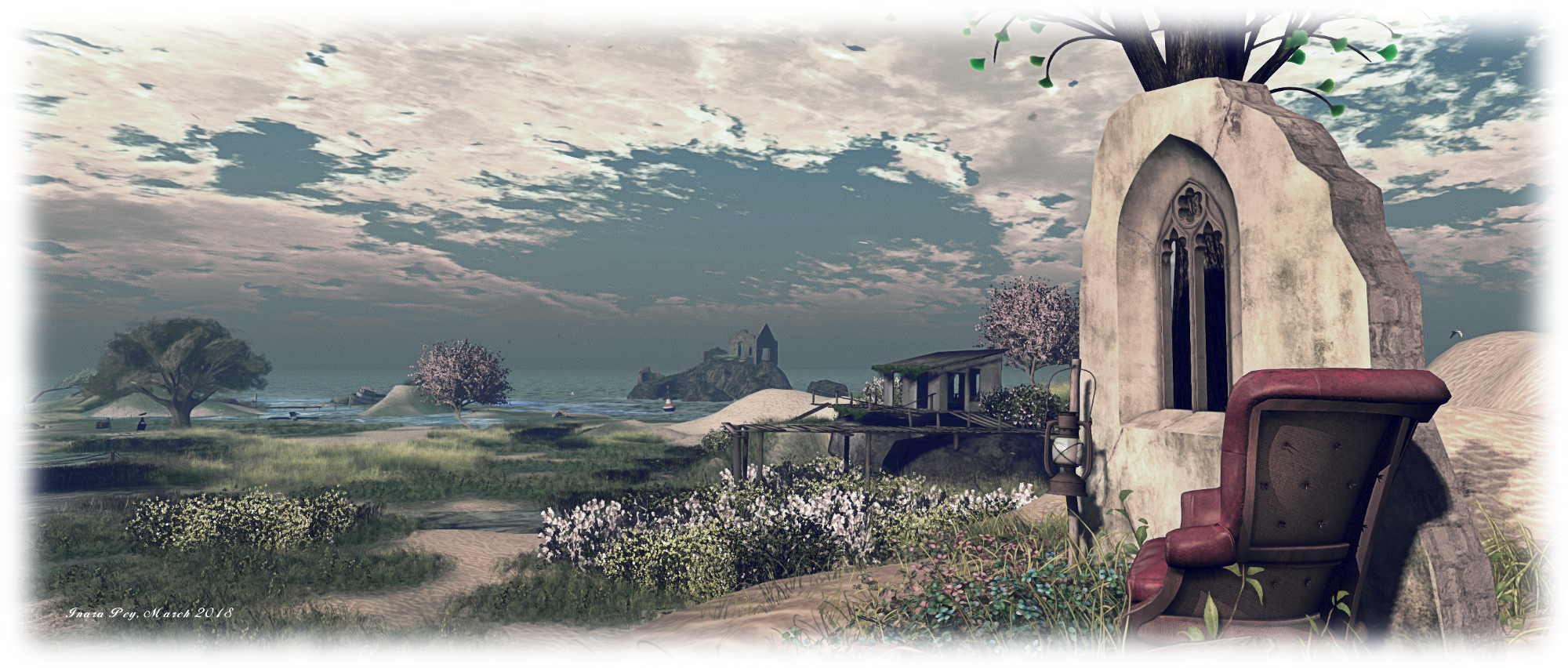
The Ruins of Deepmarsh is a Homestead region designed by River (Moya McCallen) as “a tranquil haven for those looking for an out-of-the-way place to hide for a while, especially with someone special. ”  It’s an open, rather eclectic region in looks, mixing the outdoors with art, places to relax and little curios to discover.

A visit begins at the landing point, a little isle in the midst of a group of islands. A telephone kiosk stands on this little piece of land, watched over by a greyhound and bunny. It forms a teleport system – but only for those who are part of a private group based on the region; for casual visitors, it is the surrounding islands that are open to the public.

Ruins of Deepmarsh; Inara Pey, March 2018, on FlickrRuins of Deepmarsh

These are linked together, for the most part, by a network of bridges which offer a way – at least in part – to explore the landscape. Three radiate out from the landing point itself, and which you take is entirely up to you. To the north sits one of the larger islands. Broad and flat, it is home to a wooden deck built around an oak tree. More bridges link this island with its smaller siblings sitting on the north side of the region, while an old ruins sits atop an off-sim island, watching over all of them.

Curling around to the west, and then running south, the large island breaks into a series of headlands or is inset with little coves, each with its own feature waiting to be discovered. All of them are dominated by the bulk of a large Moon literally rising from the sea; on the headland before it a window frame floats serenely above the ground at the end of bridge (careful when crossing the latter!), offering a pose point from which to take pictures (at midnight, perhaps?) with the moon as a backdrop.

Ruins of Deepmarsh; Inara Pey, March 2018, on FlickrRuins of Deepmarsh

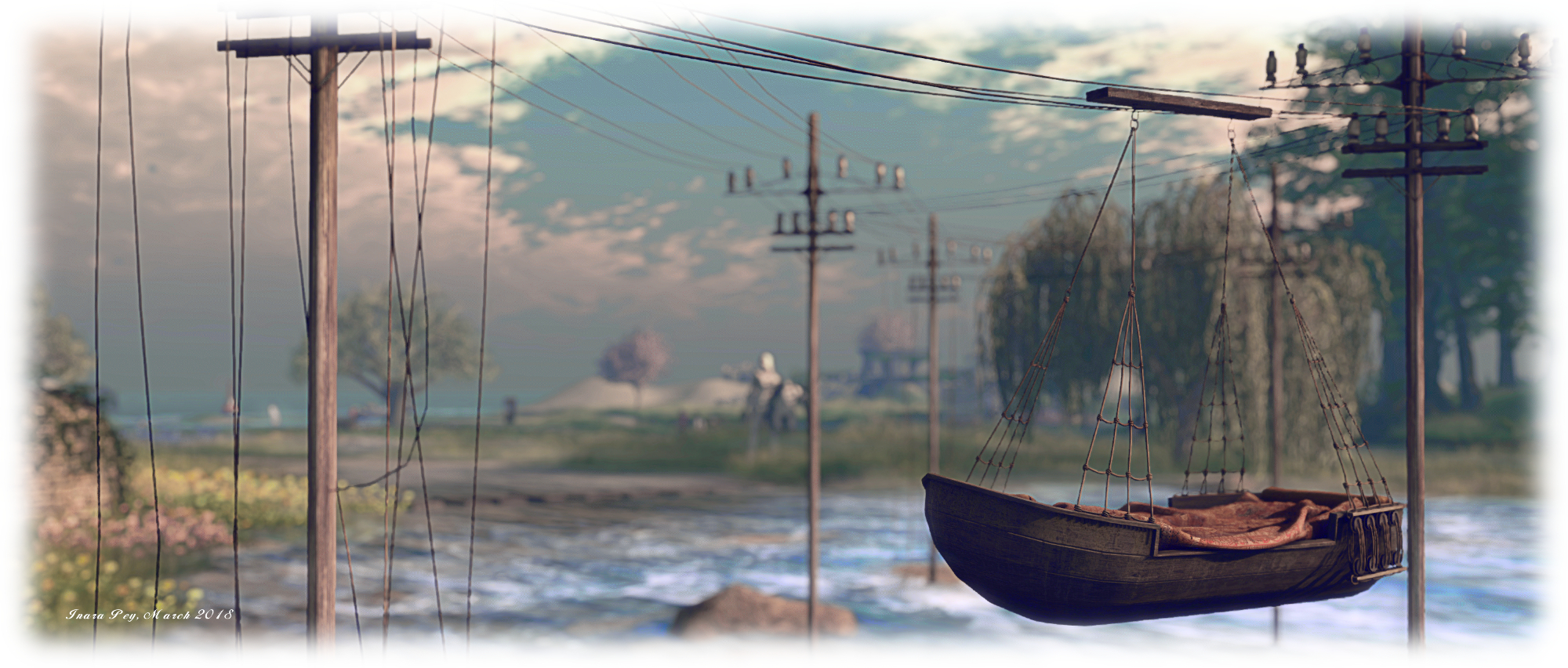
South of the Moon and the old watchtower facing it, the weather becomes wetter. Thunder grumbles and lightning flashes, while an old rowing boat is suspended from telegraph poles rising from the turbulent waters, offering another place to sit, cuddle and / or take photos.

To the east, the weather is fairer, while the islands offer more places for sitting and cuddling, be they on a beach, inside an old cabin build up against a grassy dune, within a cavern reached by yet another bridge, or simply atop a dune. Several are watched over by sculptures by Mistero Hifeng. Elsewhere there are swings and benches upturned boats wedged in place and with cushions and blankets beneath, while gulls pass overhead, critters run through the grass and herons stand like butlers awaiting a summons.

Ruins of Deepmarsh; Inara Pey, March 2018, on FlickrRuins of Deepmarsh

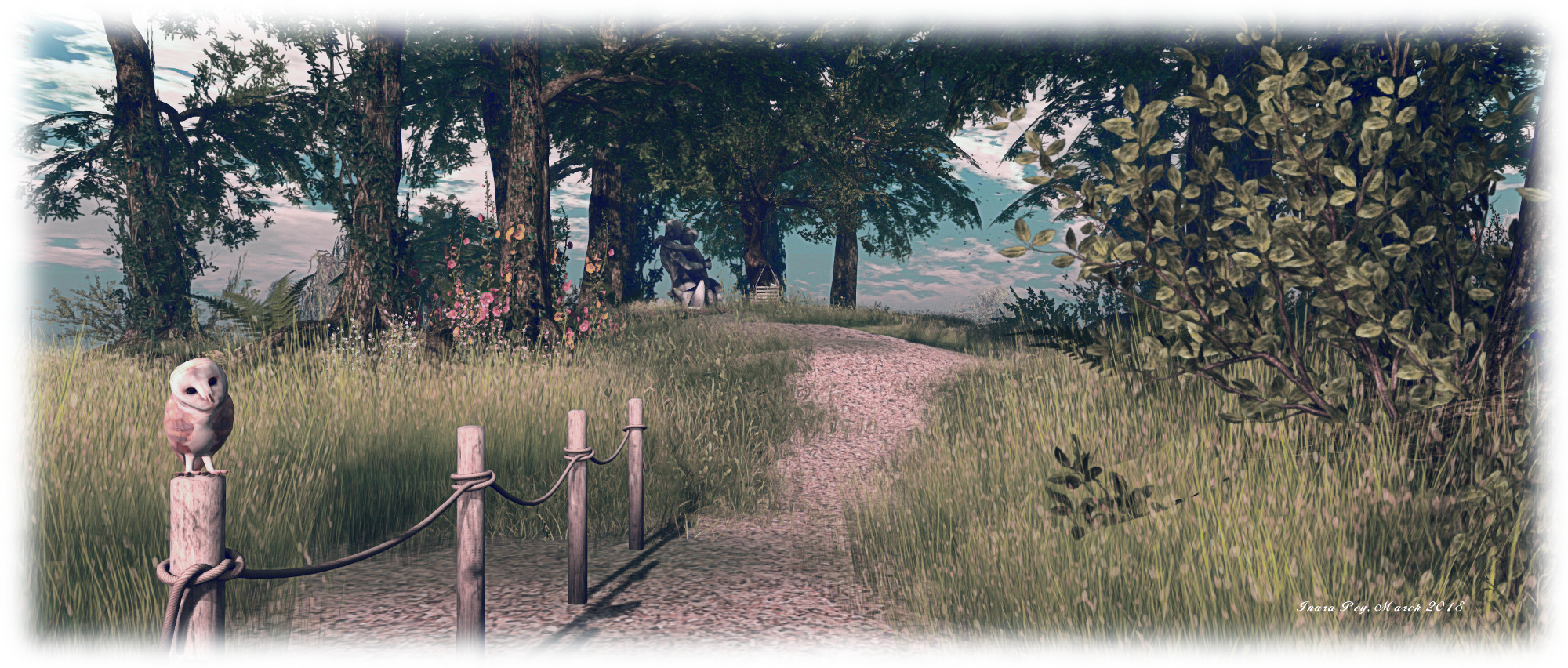
The majority of the landscape is open to the sky, the trees few and scattered, some with backs bent from long years in the wind. However, one of the islands is crowned by a copse of oak tree through which a sandy path leads to another piece of art, a secluded swing next to it.

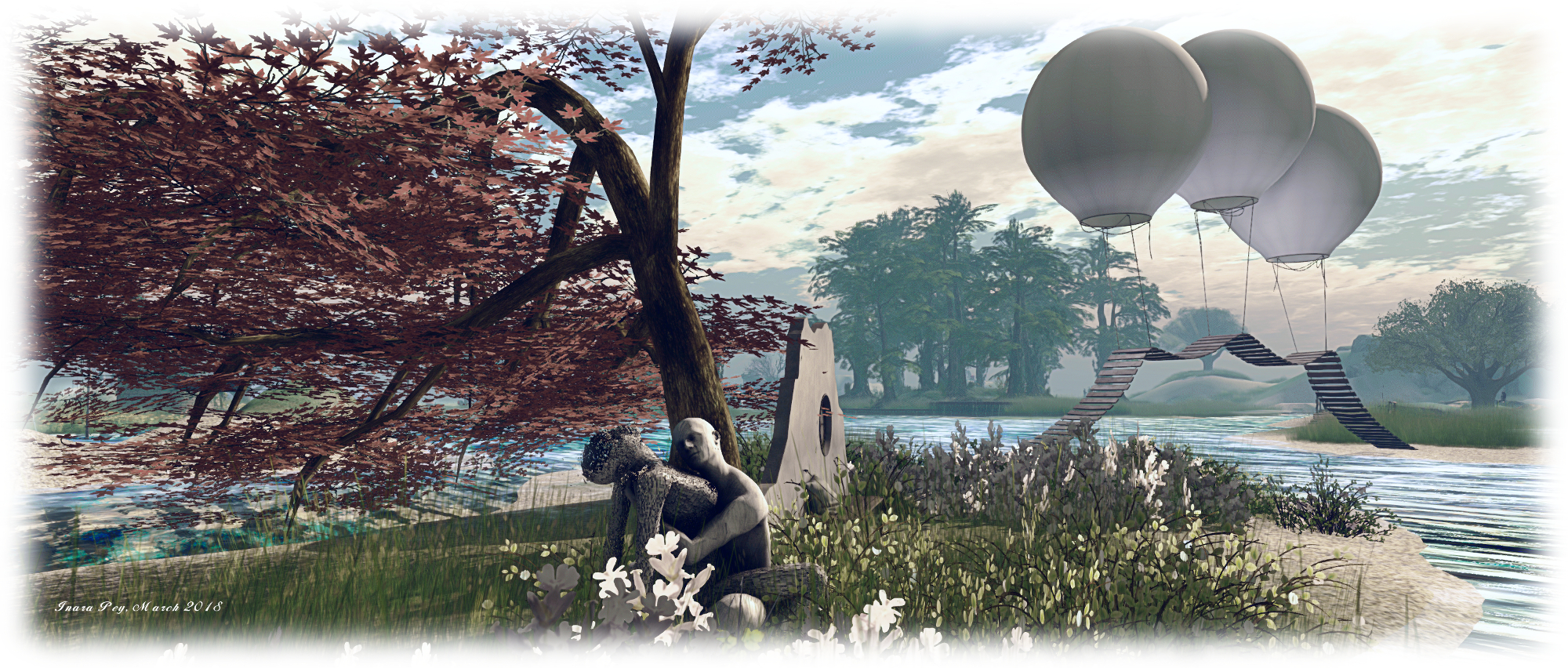
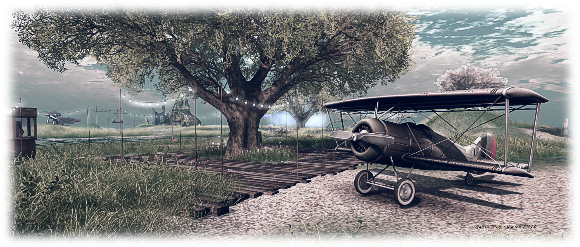
The eclectic nature of the region comes from things like the telegraph poles and their suspended rowing boat seat, a bridge held above the water by a trio of hot air balloons, the biplane alongside the deck near the landing point, the single island with its touches of Buddhist mysticism – even the landing point’s telephone booth. These also at first seem a little out-of-place among this nesting of islands – but so to do they feel a part of it, adding to the personality of the region.

Ruins of Deepmarsh; Inara Pey, March 2018, on FlickrRuins of Deepmarsh

The Ruins of Deepmarsh – as the description suggests – offers an excellent getaway for those looking for somewhere quiet in which to relax or to hide for a while. Photography is welcome, and the region has a Flickr group for those wishing to submit their images. Should you enjoy your visit, as we did, please consider making a donation towards the region’s upkeep at the landing point.

SLurl Details

  • The Ruins of Deepmarsh (Beck, rated Moderate)

Another trip on Route 66 in Second Life

Motorheadz Café / Route6; Inara Pey, March 2018, on FlickrMotorheadz Café / Route66 – click any image for full size

Route 66 has been a popular subject for region designs in Second Life over the years, and one of the more recent is called Motorheadz Café / Route66, which Shakespeare alerted me to recently. Designed by ROCKET (Rocket Biedermann), this Homestead region immediately put me in mind of  Mother Road, which Caitlyn and I visited in September 2017 (see here for more). Such is the similarity between the two, one might easily be the neighbour to the other.

Bracketed to the east and west by mountains, the region is dissected by the titular road, alongside of which sits the landing point. Take care on arriving – it’s easy to step out on the road, and as you’ll find out, this actually has traffic passing along it periodically – cars, pick-up trucks, police cars – even trucks towing semi-trailers.

Motorheadz Café / Route6; Inara Pey, March 2018, on FlickrMotorheadz Café / Route66 – click any image for full size

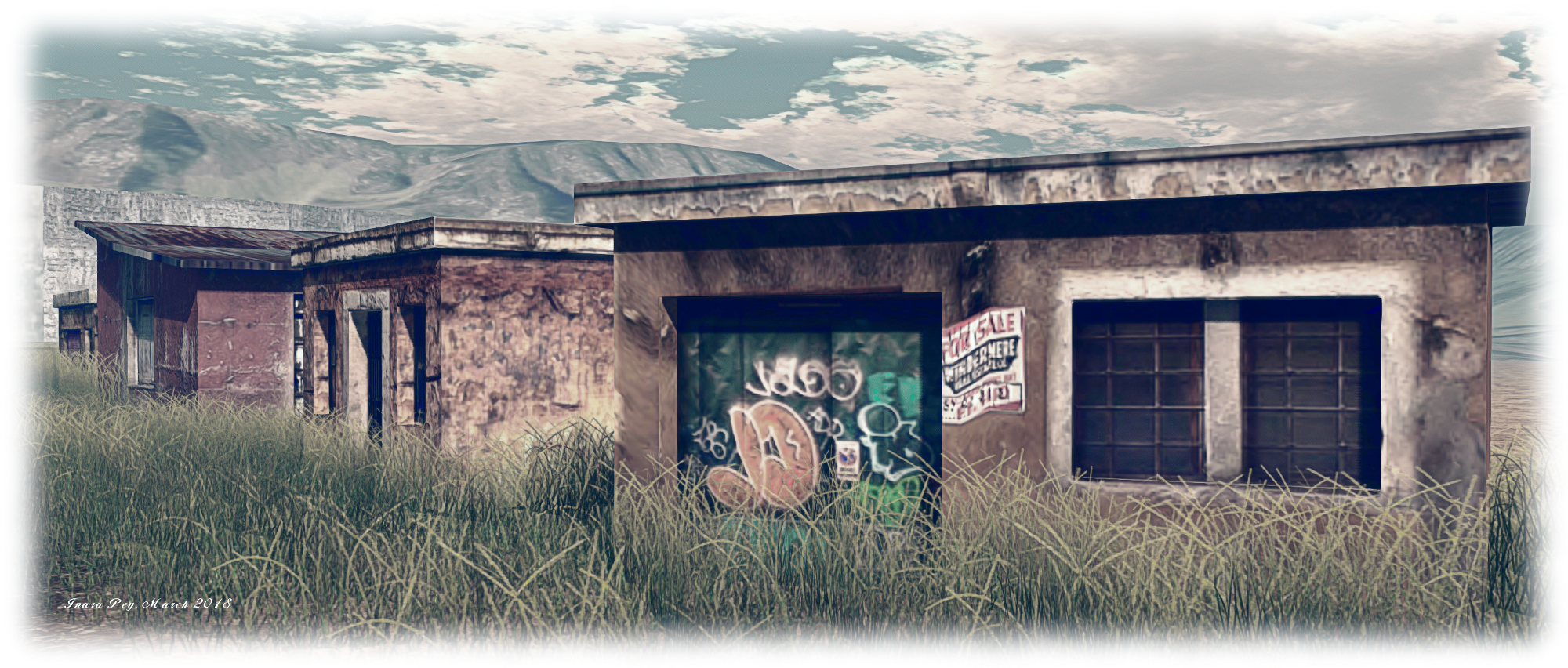
The road is straddled by a small township that seems to have grown up here as a result of pharmaceutical plant that apparently started operations in 1886. The security guard at the gate suggests it is still in use, but perhaps it is now more of a storage facility than anything (and part of it is off-limits to visitors).

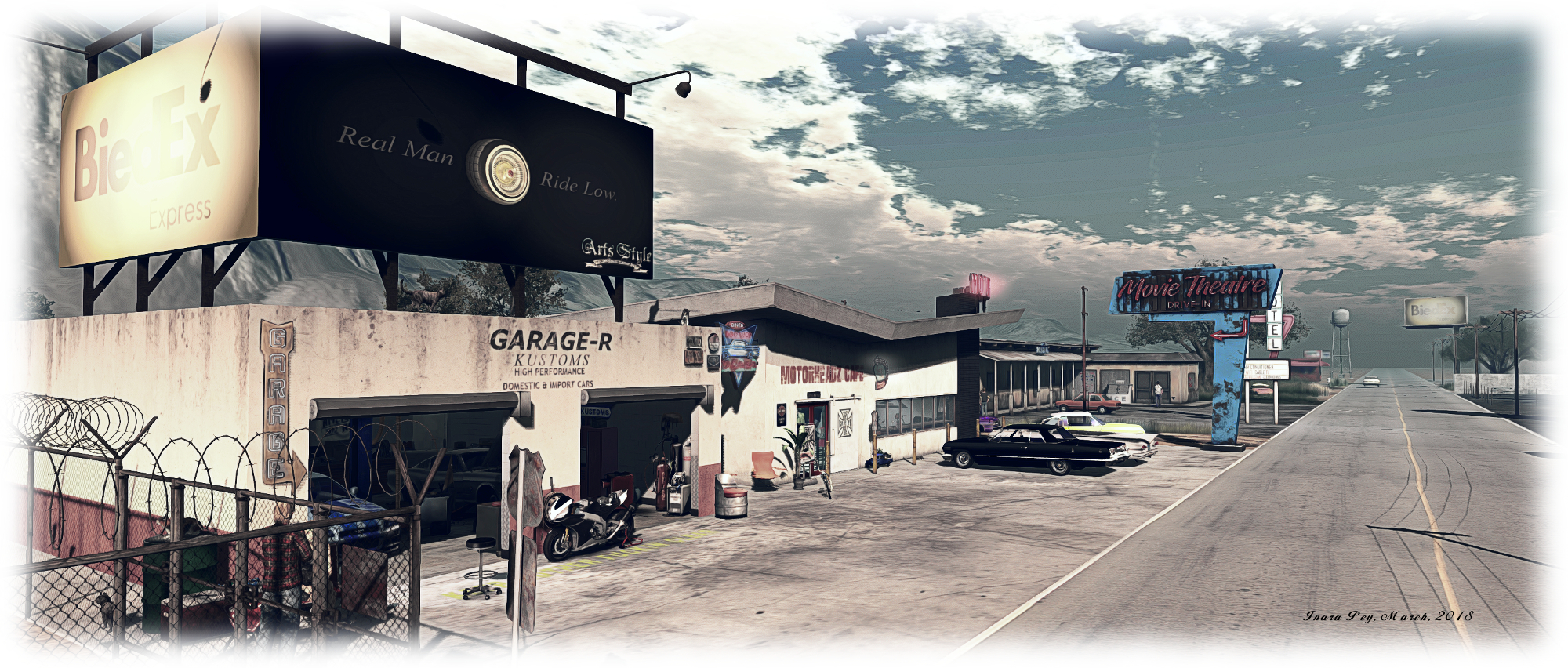
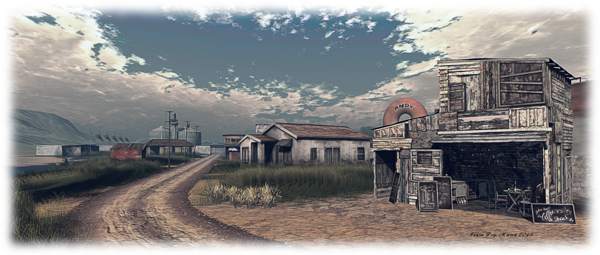
This might explain why the rest of the town is looking somewhat run-down; without a place of work, many of the local inhabitants may well have moved on to pastures new; what’s left is a handful of roadside business – an auto shop, the titular Motorheadz Café, a couple of stores, a doughnut shop offering competition to the café, and a run-down motel which hardly lives up to its name: Miami.

Motorheadz Café / Route6; Inara Pey, March 2018, on FlickrMotorheadz Café / Route66 – click any image for full size

Behind these, again on either side of the road, lay a scattering of houses and shacks. all of them looking more than a little run-down – but going on the cars parked outside of them, several are still considered home by the locals.

What makes this region a little different is the work that’s been put into making it appear to be “alive”. There are the aforementioned vehicles zapping along the main road, while scattered around the region are posed dummies. There’s nothing new in this – such characters often turn up in many regions; but rather than having such dummies individually placed – at market stalls, behind counters, etc., Rocket has brought them together in series of vignettes.

Motorheadz Café / Route6; Inara Pey, March 2018, on FlickrMotorheadz Café / Route66 – click any image for full size

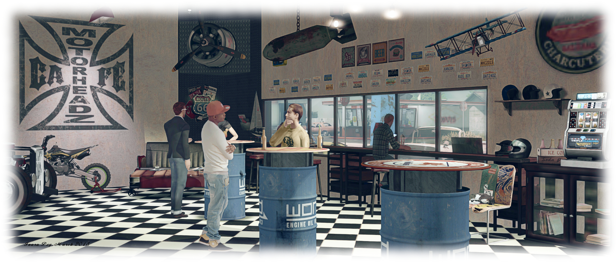
There’s the couple outside of the auto shop, for example, apparently waiting for the car to be fixed; while outside the motel, certain negotiations appear to be under way. Further afield, the local motorbike gang are gathering at their club-house, and so on – but check inside the café for the best example of bringing these characters together to form a little story. Cats are also much in evidence, doing the things cats do – including perching themselves in locations that are unexpected – but typically cat-like.

Motorheadz Café / Route66 may not appeal to everyone, but I admit to finding it with its own charm. With rezzing open (5-minute auto-return), it makes an ideal environment for photographers looking for a more unusual backdrop, particularly if “extras” are needed. There’s also opportunities for photos in other parts of the region: alongside the train tracks, out in the fields, etc.

Motorheadz Café / Route6; Inara Pey, March 2018, on FlickrMotorheadz Café / Route66 – click any image for full size

SLurl Details

Sundarban in Second Life

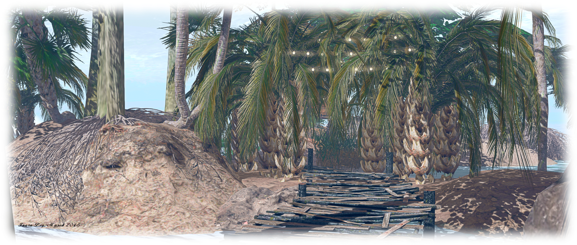
Sundarban; Inara Pey, March 2018, on FlickrSundarban – click any image for full size

Update: This location has closed, the SLurl have therefore been removed from this article.

“Sundarbans is a vast mangrove forest located between India and Bangladesh, well-known for being the habitat of the Bengal tiger,” Gabrian Lascelles (gothicgaylord) writes in his introduction to his new Homestead region, Sundarban. “It’s my vision of India,” he informed me in passing an invitation to Caitlyn and I to visit. “And as I’m from Sweden, it’s been a lot of research for me, but if I’ve managed to catch just a breath of India, I’m happy!”

Gabrian is perhaps best know for designing and building Costa Blanco (see here for more), and as a landscaper at Amazon River. We both thoroughly enjoyed Costa Blanco, so with Gabrian’s invitation in hand, we hopped over to Sundarban to have a look around.

Sundarban; Inara Pey, March 2018, on FlickrSundarban

The physical world Sundabarans lies in the vast delta formed by the by the super confluence of the Ganges, Hooghly, Padma, Brahmaputra and Meghna rivers as they empty into the Bay of Bengal, straddling India to the west and Bangladesh to the east. It is a huge ecosystem encapsulating both freshwater swamps and the world’s largest area coastal mangroves, around 10,000 square kilometres (6,250 sq mi). As Gabrian notes, the area is the home of the endangered Bengal Tiger, but it is also home to other endangered species besides, such as the estuarine (or saltwater) crocodile, the northern river terrapin, the South Asian river dolphin (freshwater dolphin), barasingha swamp deer, as well as more widespread breeds of mammals, bird, fish and reptiles.

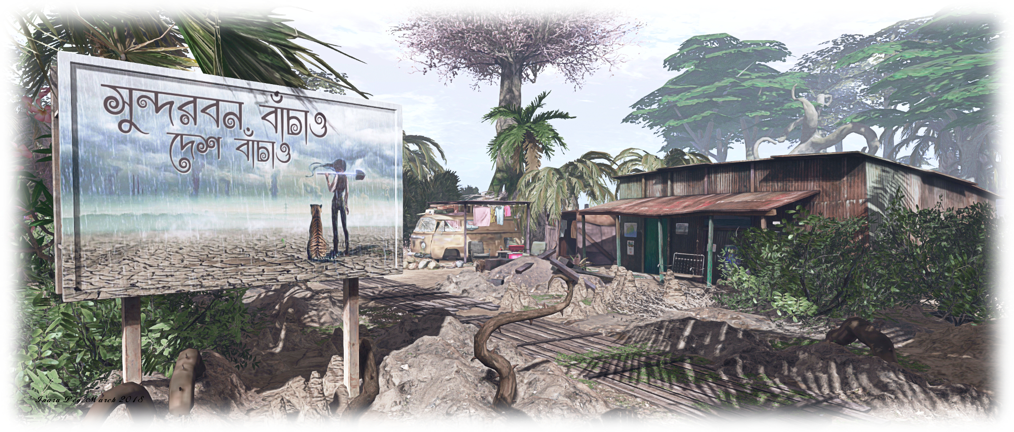
For his build, Gabrian presents a coastal area made up of low-lying muddy / sandy islands, some linked by bridges, others by zip lines, while little motor boats provide the means of puttering around the waters to reach all of them. The landing point sits on an island on the north side of the region, where sits a little shanty store. Elephants are bathing in the water close by – although they are of African, rather than Indian, origin (don’t blame Gabrian for this, African elephants in natural poses are a lot more popular with creators than their Indian cousins).

Sundarban; Inara Pey, March 2018, on FlickrSundarban

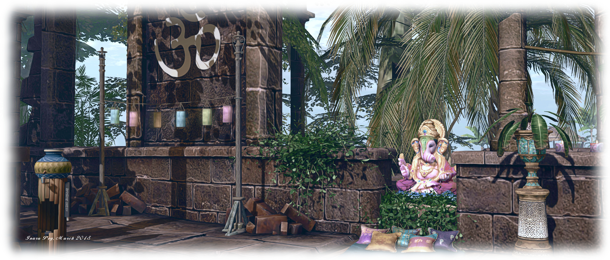
East from here, over a low wooden bridge, is a second island. This is home to an old corrugated iron shack, a small shrine, and a path leading up to the wooden jetty on the north side of the island where the motor boats can be obtained. For the adventurous, a set of zip lines have been set up behind the old shack, providing a way for people to travel to / from the island to the south without the need for a boat or getting their feet wet.

This island is probably the largest by visible landmass in the group. It arcs to the south and east, a slender ribbon of grassy dunes sitting under the shade of trees reflecting the physical world’s Sundarbans freshwater forests, before ending in a finger of rock pointing up at the sky. An ancient ruin can be found here, converted into a rest spot complete with canopied massage table looks towards the eastern islands in the group, and another pair of zip lines link it with the nearest of them. Before riding one of them, however, it’s worth walking down to that finger of rock I mentioned – you’ll pass more of the local wildlife along the way and find a most unusual perch up in the rock itself.

Sundarban; Inara Pey, March 2018, on FlickrSundarban

Those seeking the tigers will need a motor boat, as they are on a small island to the north-west, separated from the rest by water. Just heed the sign as you approach the island’s little bay, or you might find yourself on the menu – as seems to have been the case with the last couple of visitors, porcine and human!

Sundarban is Gabrian’s personal vision of an exotic part of India, and a place that’s easy to explore and easy on the eye. Throughout the islands are numerous places to sit and cuddle (although be aware some do have distinctly adult poses in them!), and plenty of opportunity to take pictures. Should you enjoy your visit, please consider a donation towards the region’s upkeep – just look for the beggar / trader near the path to the motor boat jetty.

Sundarban; Inara Pey, March 2018, on FlickrSundarban

SLurl Details

  • Sundarban (Enchanted World, rated: Adult)