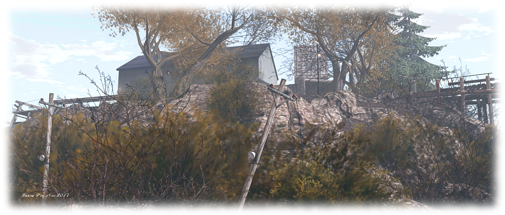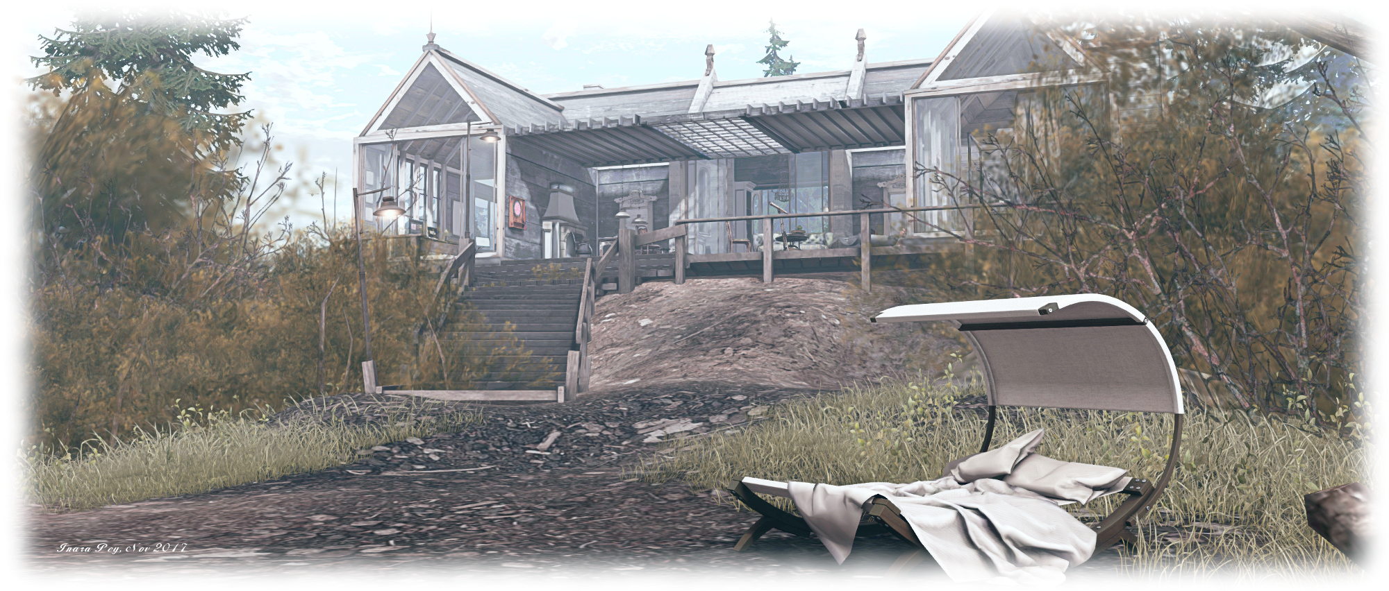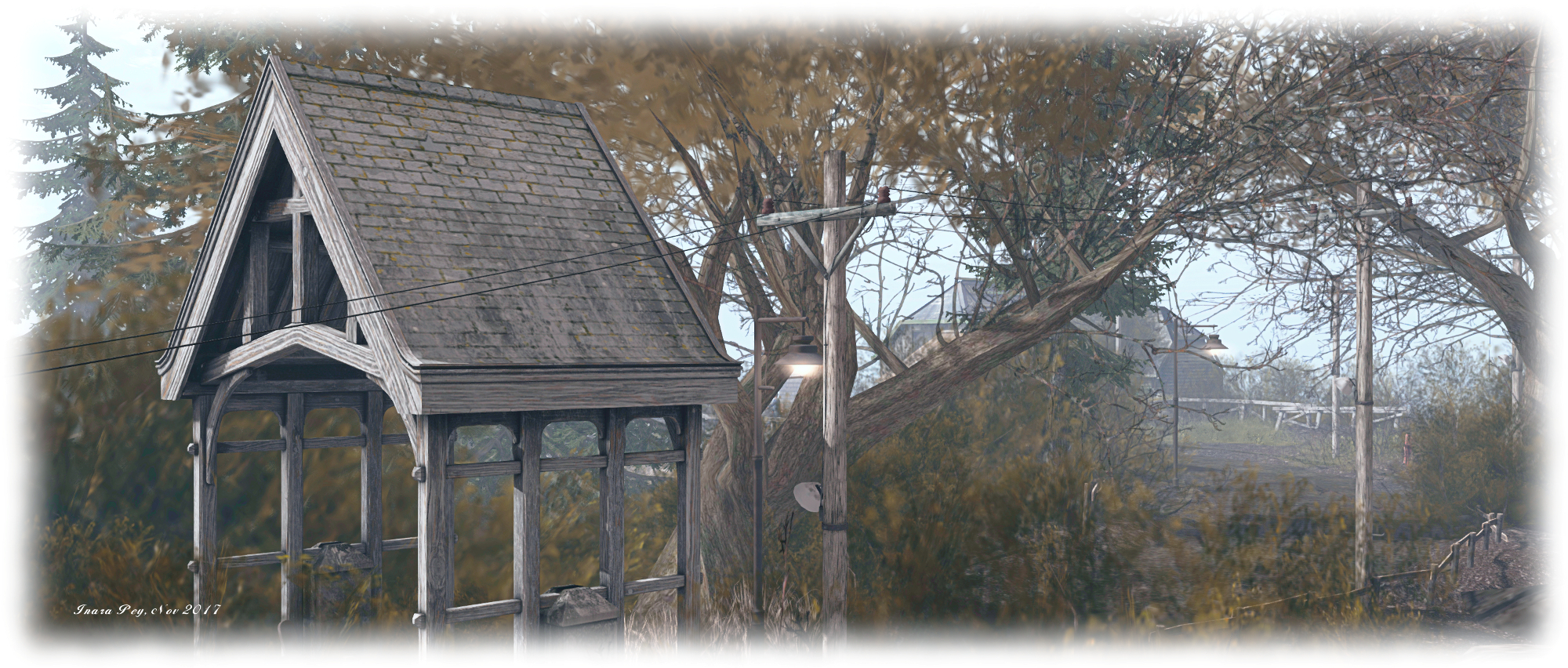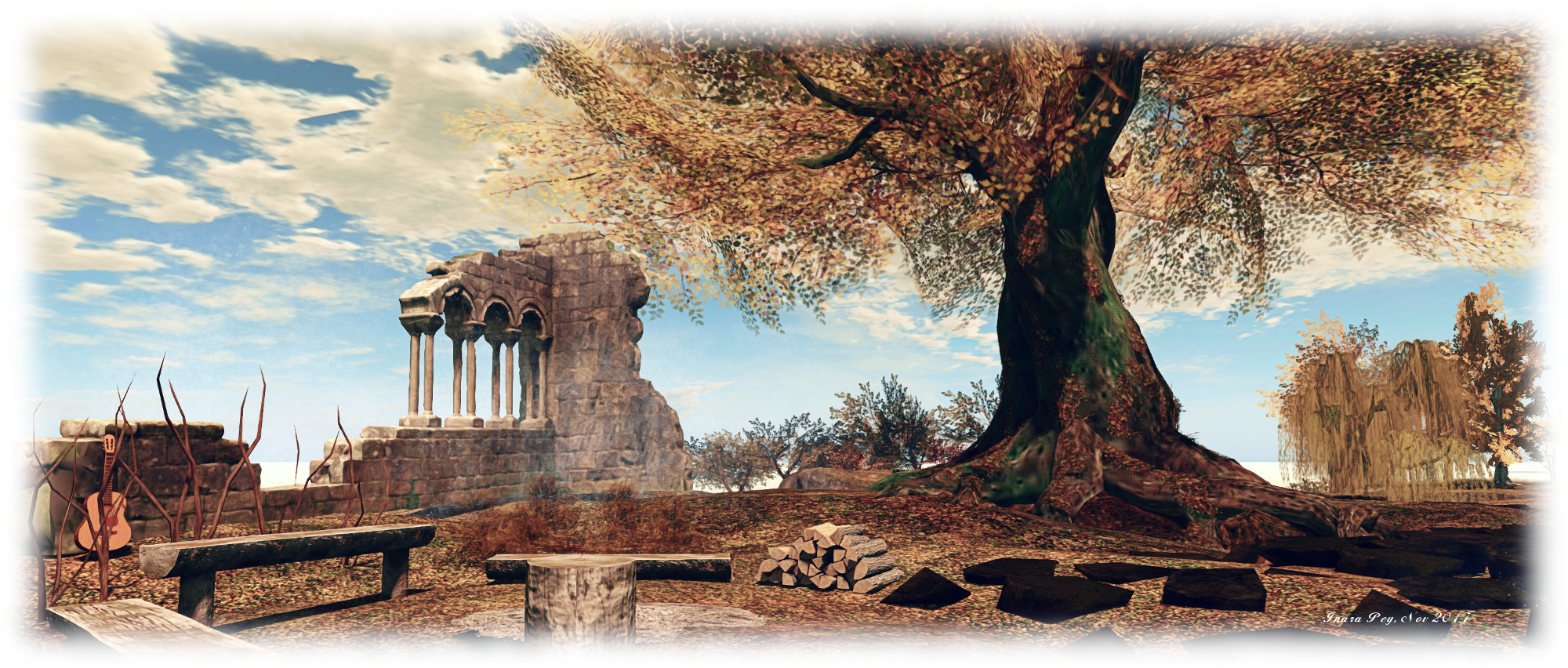
Hollywood highlights and more in Second Life

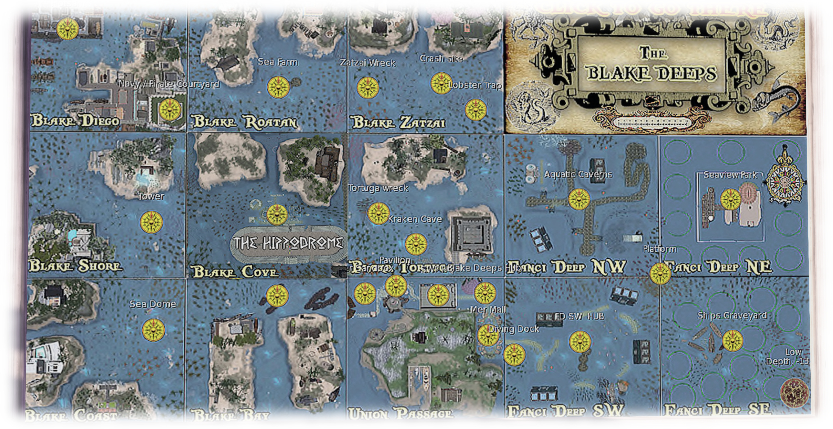
The undersea world of Blake Deeps – just a part of all there is to explore in the Hollywood estates and regions north , east and south of Blake Sea.

I’ve been a resident of Hollywood Estates, bordering Blake Sea for getting on for five years now (I think!), and while I’ve covered one or two points of interest around the estates that are open to the public, there is actually a lot to see and enjoy. This being the case, I thought I’d offer an island-hopping guide to some of the places worth a visit, particularly by boat or by air (seaplane perhaps being the best for the latter, or a helicopter with floats!).

For obvious reasons – it being something I’ve been very involved with – I’m going to start at Holly Kai Park. The home of Art at the Park (since 2008), Caitinara Bar (music Wednesdays and Fridays from 16:00 SLT), with a live events area (The Pavilion), nature trails, a permanent exhibition of art from the collection of Nber Medici, co-owner of the Hollywood Estates along with MarkTwain White, bumper boats, kayaks, as well as featuring Seanchai Library, bringing you live stories in Voice every week, Holly Kai Park has a lot to offer visitors.
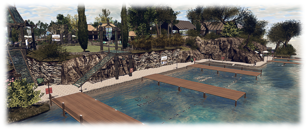
Holly Kai Park boat moorings and Art Hill

The docks on the east side of the park offer 2.5 hours of mooring before auto-return kicks in, giving you plenty of time to explore, and re-rezzing of boats (or seaplanes! is possible. This also makes Holly Kai Park a good leaping-off point for travels by water. Head north and then west around Holly Kai Estate, following the waterway, and you’ll eventually come to the Tugby Arena, with matches held every Sunday at 08:00 SLT  – find out more by reading my article on matches.

Just south of the Tugby arena is Dutch Harbor. While not strictly part of the Hollywood estates, it is home to Analyse Dean’s magnificent stern wheel paddle steamers. These are truly magnificent vessels, which I blogged about back in 2014.  The Dixie Belle has been available for sale since around the middle of 2017 (and I’m overdue an update on the steamers and what’s been happening with them!), and you can walk across to the demo version at Dutch Harbour and try it for yourself.
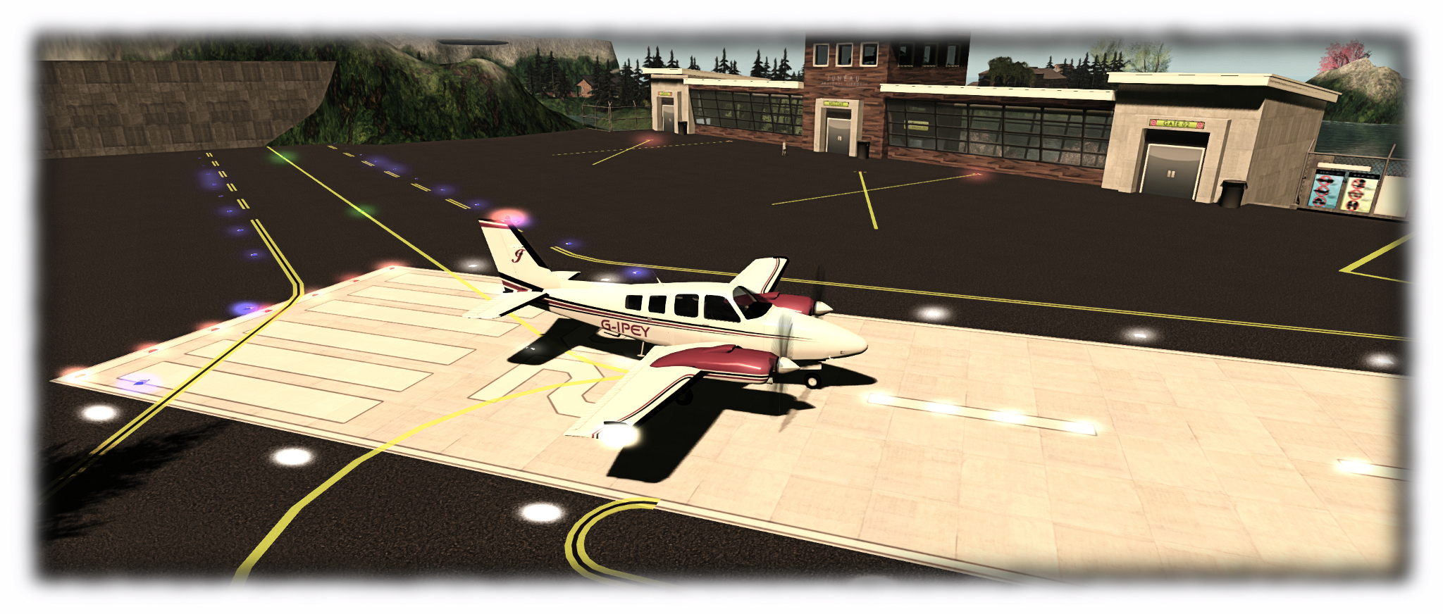
Juneau Regional Airport offers a chance to explore Blake Passage by air, or to stop off on a trip and hop around the local sights.

If hiking is more your thing, you can head west-north-west from Holly Kai Park to the Columbia River. Although largely residential in nature, the hills above the southern bank of the river offer a hiking route. Marked by boot prints on the ground and yellow tour guide boxes, the trail runs westwards to Columbia Bar, and offers views out over the river valley to the north and the surrounding islands to the south.

Unfortunately, rezzing isn’t available at either end of the trail, but a short hop away by TP, is Juneau Regional Airport, offering rezzing for light aircraft, and a short distance to the north, the Hollywood Estates land office has a boat rezzing area (2 minute auto-return) at the moorings in front of it. From here you can explore the Blake Passage regions by boat.  A little further to the north at Skagway, is the headquarters of the Second Life International Folkboat Fleet (SLIFF). With races held every Sunday starting at 07:00 SLT, this is a popular community, and sailing lessons can also be had here for those just getting started. If you don’t fancy walking / teleporting, you can catch the Skagway & White Pass train from the rezzing area outside the front of the airport terminal, and which will transport you to all points north in Blake Passage. You can jump off on passing the Hollywood Estates land office, or at the SLIFF centre at Skagway.

Folkboat racing around the regions of Blake Passage

South and west of Holly Kai Park lies the famous Hollywood International Airport. With rezzing for aircraft of any size, and water rezzing for boats, it offers the perfect leaping-off point for exploring Blake Sea itself, the regions to the south, and for travelling east through the islands leading to the community of Second Norway. If flying out of a major airport like Hollywood isn’t to your liking and you have a light aircraft, you might like to try flying out of the grass strip at Foliage Airfield.  This is a tight little strip, but one I like using when testing different planes, and it is ideal for single and light twin-engined aircraft and helicopters. Just across the water from Foliage sits the historic Greenhouse, a towering prim structure by Transparent Banshee celebrating a bygone building era of Second Life. The gardens and Greenhouse are both open to visitors.

Head south from Hollywood Airport, and you can find your way to the Honah Lee estate, and in particular Palomar Landing, with moorings for boats, seaplanes and helicopters (5 minute auto-return, re-rezzing permitted). This marks the start of the island circle trail and the trailway to the stars, which allow you to travel on foot or by horseback around the 6-region core of Honah Lee, ride up to the Palomar observatory, and visit the marine nursery. I last rode the trails here in 2013, so some of the article I wrote at the time might be out-of-date, but hopefully it’ll act as a primer for those visiting.
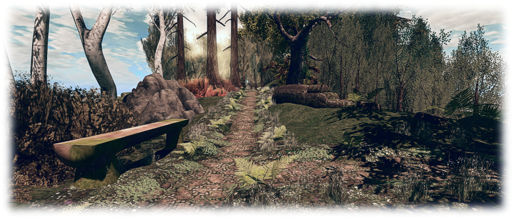
Horseshoe Park is tucked away among the islands east of Blake Sea, but makes for a pleasant stop while sailing

All of this is really just scratching the surface of everything on offer in these regions and the lands surrounding Blake Sea. Those who like sailing / boating might also like to visit Horseshoe Park (30 minute auto-return at the dock), which offers a pleasant break while exploring the surrounding waterways. There’s also the delights of underwater exploration along the regions of Blake Deeps. A good place to start these might be from the historic Freeport Township of Flotsam, and you can read more about it and the merfolk community of Fanci’s deep here and here.

Additional Links

Exploring Lapprock Lighthouse in Second Life

Lapprock Lighthouse

Lapprock Lighthouse sits to the south-east of the steampunk role-play community of New Babbage, guarding the waters of the Vernian Sea. Recently featured in the Destination Guide Highlights, the lighthouse is an imposing structure, a thick finger of stone and brick rising though a heavy mist from the plug of rock upon which it sits. The design by Vic Mornington (Victor1 Mornington) is both decorative and functional, and I’ve little doubt the sweeping eye of its light misses very little in the waters around it.

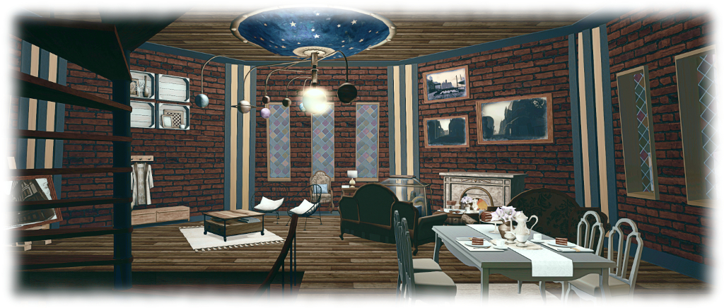
Pass through the main entrance, and you’ll find what you might expect from such a place: a slightly dreary looking storage space befitting a working lighthouse. However, climb the spiral stairs winding upwards from near the centre of the room, and you might be surprised by what you find above: a most convivial apartment space presenting very comfortable living accommodation.

Lapprock Lighthouse

This comprises a day room, with a lounge are warmed by a fireplace, a dining space and illumination provided by an ornate ceiling orrery, with lots of little  touches around the room which make it a very cosy setting. Above this sits a bedroom, complete with a second, table-mounted, orrery, with a (somewhat austere) library occupying the floor above it. The stairs then continue their upward wind through two further floors, seemingly given over to research.

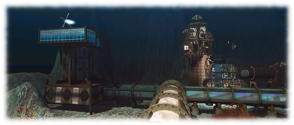
Nor is this all that there is to be found in the Vernian Sea. Down on the entrance level of the lighthouse is a drum-like steel structure in the centre of the floor. Open on one side, it forms an elevator shaft leading downwards (if the shaft is visible, click the control panel on the left of the opening to call the elevator). Click the elevator car to stand in it, then select Tunnels from the displayed dialogue box to descend into the ocean depths below the lighthouse.

Lapprock Lighthouse: under the Vernian Sea

Here lies a series of glass and steel walkways running pipe-like just above the ocean floor, stoutly supported on steel and concrete legs. These walkways provide access to a number of undersea structures, such as the Lotus of the Sea Lounge, with its glass domed roof, complete with steel petals ready to close and protect it should the need ever arise, and Aegir’s Hall, named for the Norse jötunn Ægir (“sea”). Some of these can be reached directly, some (again, as with Aegir’s Hall) require the opening of an airlock or two.

However, when exploring this undersea realm, please do keep in mind that these halls and spaces  – like Lapprock Lighthouse itself – are offered for rent, and while the lighthouse is open to public visits, this might not be true for all of the spaces under the sea. Above and behind Aegir’s Hall, for example, is what appears to be a private living space  which may not be open to public exploration.

Lapprock Lighthouse: under the Vernian Sea

Travel far enough along the undersea corridors, and you’ll likely eventually find your way to a second elector station. This will carry you upwards to the dockside at New Babbage, where, if you’ve not visited before, you can continue your explorations. For this article however, it is where I’ll leave things.

There’s a curious feeling of history wrapped around Lapprock Lighthouse and the facilities on the seabed beneath it, perhaps due in part to much of the latter being prim builds (there’s also the fact New Babbage represents one of the longest-running communities in Second Life, having been established a decade ago). As such it makes for an interesting – intriguing, even – visit.

SLurl Details

A winter’s return to Aspen Fell in Second Life

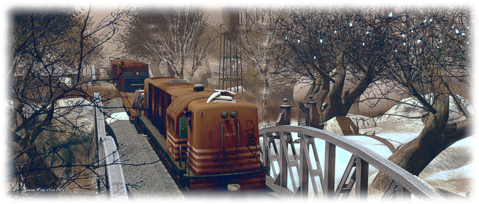
Aspen Fell; Inara Pey, November 2017, on FlickrAspen Fell – click any image for full size

It’s been two years since my last visit to Aspen Fell, so when Shakespeare suggested Caitlyn and I head back and take a look and the region in its new home, I thought he had the right idea.

The region presents a setting caught between autumn’s last breath and the cold winds of winter. It is a rocky place, the majority of the region given over to a high-walled rocky U running north to south,  surrounded by cold looking waters and offshore peaks, the entire setting struck in muted browns, whites and greens by the lowering Sun (I’ll be honest, I pushed the Sun a little higher into the sky to gain a little more natural contrast).

Aspen Fell; Inara Pey, November 2017, on FlickrAspen Fell

The landing point sits on the south side of the region, at the base of the U. Facing visitors on their arrival is the high face of the cliffs, split by a narrow crack, which seems to offer an invitation to see what lies on the other side of the rocks. However, we’d recommend you avoid the temptation, unless you want to get particularly wet. Instead, turn to the east or west, where sit old walls bearing wrought iron fences and heavy gates, pointing the way to where you might find paths snaking their way up to the plateaus above.

This is very much a place of two parts in several ways. To the west, it is distinctly autumnal; the grass is still green, the trees still have their leaves, the lowlands offer a long ribbon of sand that curls around the cliffs, a place to walk and even enjoy a sauna – but everything is cast under a chilly, heavy sky, the tide braking against that sandy ribbon particularly cold. To the east, the region is caught in the grip of winter; snow blankets lay over both the curl of the beach and the tops of the plateaus, and even forms drifting slopes between the two. The trees are denuded, the grass fighting to push itself through the white mantle of snow, and frost catches stone and wood.

Aspen Fell; Inara Pey, November 2017, on FlickrAspen Fell

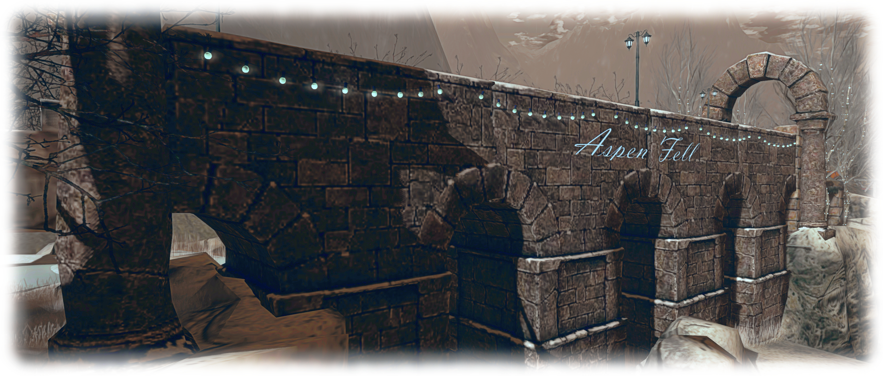
Similarly, to the west, the cliff tops, caught in their autumn cast, appear careworn and a little tired. Dilapidated barns and the ruins of a farm-house together with the wrecks of old vehicles lay scattered across the plateau. To the east, the cliff tops are given over to the remnants of much older structures: an ancient bridge or viaduct together with the walls, arches and paved floor of a former building or gate-house, their stonework giving them a sense of youthful permanence within the landscape, the snow on and around them presenting a feeling of pristine newness.

Down in the valley between the arms of this rocky U, these two halves meet, but do not merge. To one side, the cliffs descend with path and rocky face to the snow-covered banks of a watery finger poking its way south. The trees here are also without leaves, bent against the cold, while an icy shelf reaches outwards over the water without actually reaching the far bank. Across the water, the west side of this broad valley again holds on to autumn the grass is tall and the trees, though bent and twisted, retain their crowns of leaves.  Paths again wind up to the highlands above, and like those highlands the detritus of life can be found here: the ruin of a wooden house, the wreck of a car, a forlorn wooden deck caught under the downpour that holds the north-west of the region captive.

Aspen Fell; Inara Pey, November 2017, on FlickrAspen Fell

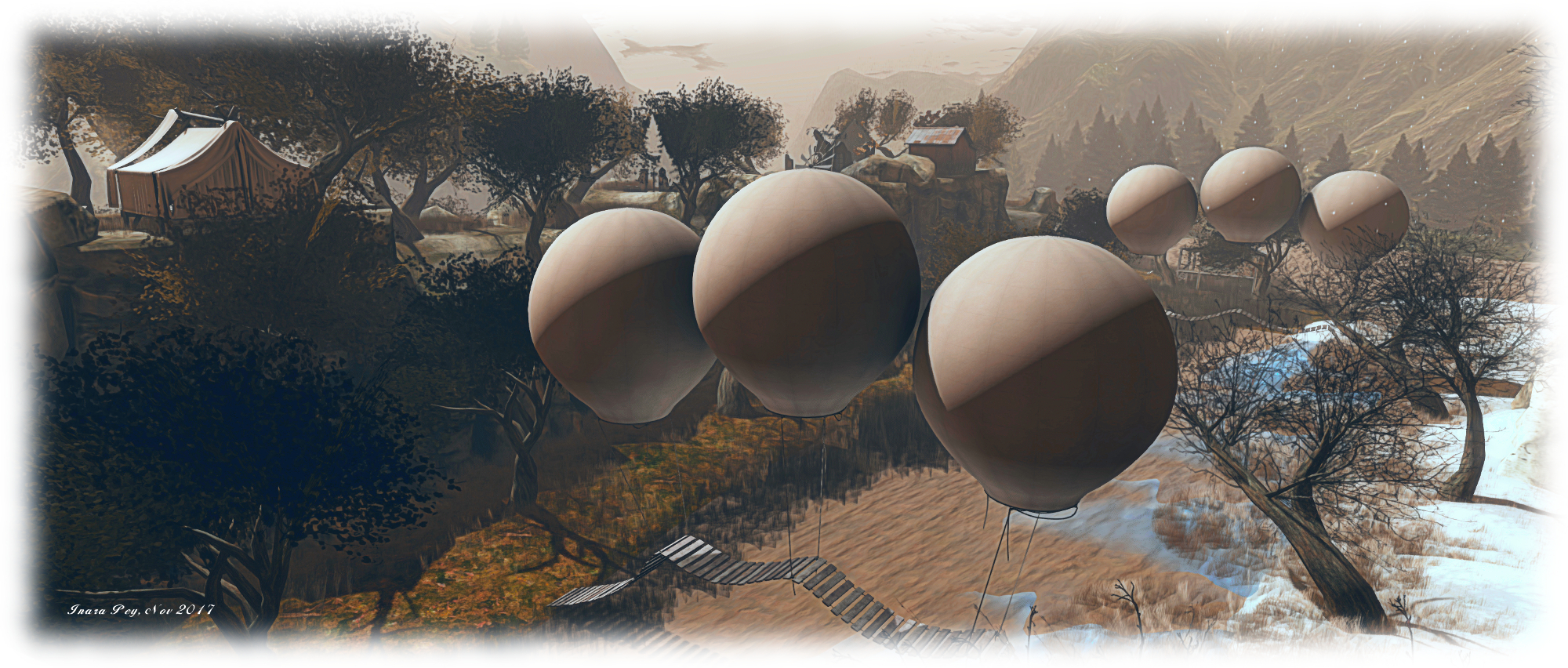
Bridges suspended by balloons link the two halves of the valley, undulating over ice and water to link snow and grass. To the south, the two halves of this landscape are also brought together by an old railroad line, a narrow bridge allowing it to hold the two sides together likes stitches holding together the thin slice of a cut.

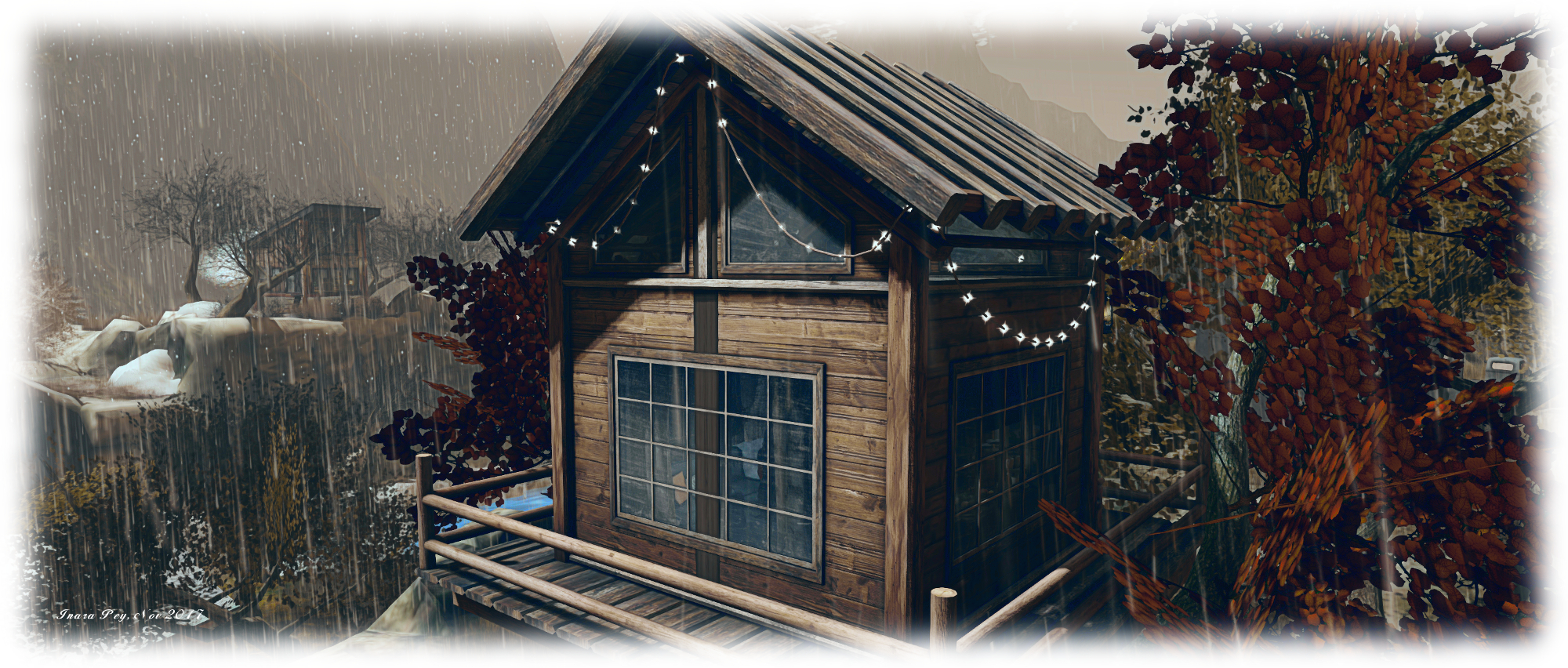
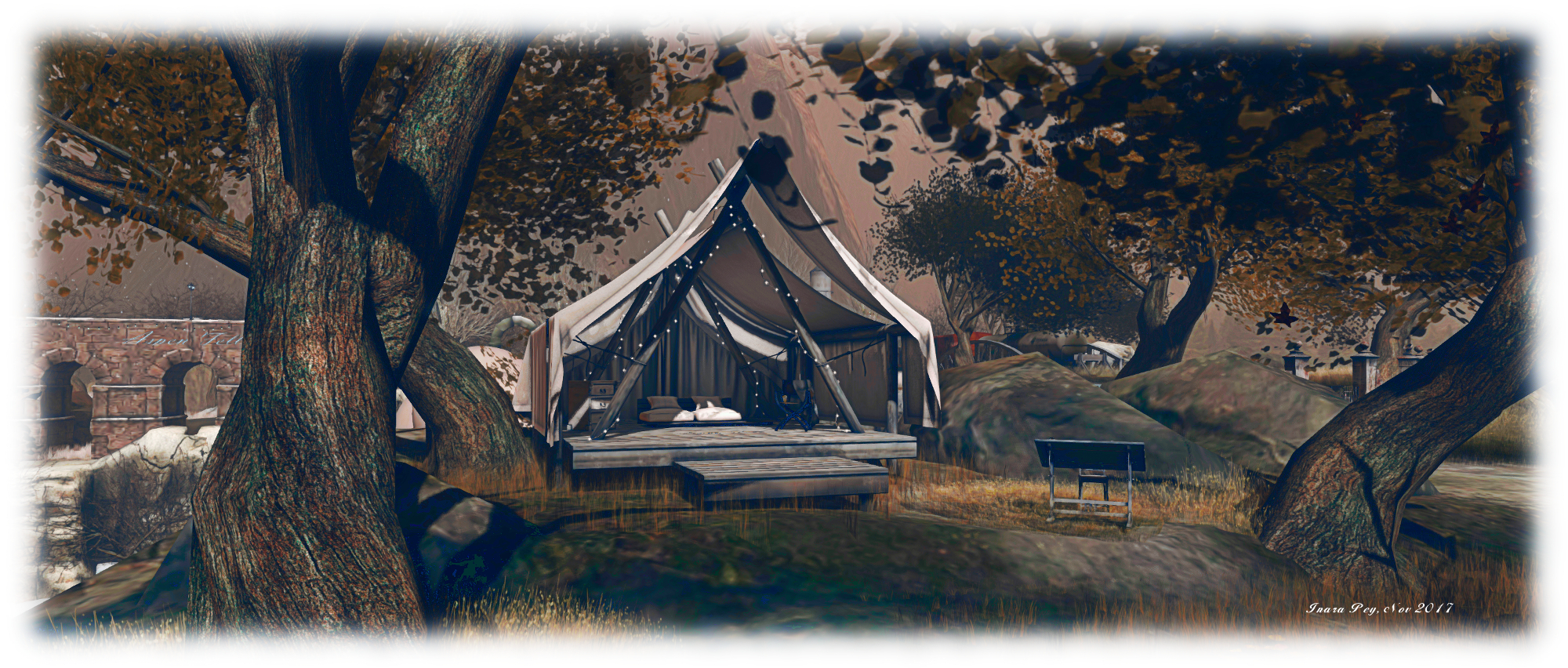
If all this sounds gloomy, don’t be fooled; Aspen Fell also hold plenty of warmth. Scattered across it are places to sit, indoors and out, be they in the warmth of cosy cabins or aboard the freight cars of a parked train or on blankets or cushions under open skies, or up in a watch tower or under the canvas awning of a tent.  Lamps and lanterns are also scattered throughout the setting, offering pools of warmth and illumination, while many of the trees on the snow-laden eastern side of the region are festooned with lights, bringing their own cheer and warmth to the setting.

Aspen Fell; Inara Pey, November 2017, on FlickrAspen Fell

I’ve always enjoyed Aspen Fell, and this iteration is no exception. Raw it may be on first looks, but there is an appeal to be found here, a desire to explore and discover. So, too, does it offer a place to be shared, and to perhaps reflect on the passing of another year (albeit with a typical northern hemisphere outlook).

SLurl Details

Hiking through Seagull Islands in Second Life

Seagull Islands

Seagull Islands is a full region designed by Balthasar Trebuchet and Angel Baxter which we happened across entirely by chance as a result of reading a group chat in-world. It offers an outdoor setting which might be seen as ideal for those wanting to capture the essence of summer vacations spent hiking through a national park – be it one in North America or the UK or Europe or elsewhere. It is also a place laid out in such a way as to feel far bigger than a single region.

As an outdoor location, there isn’t a set landing point, so for this article I’ve arbitrarily selected the little fishing wharf and warehouses located in the north-east corner of the region.  From here, the region opens out to offer several routes of exploration. To the north, for example, area couple of secluded little beaches. Behind these, across the flat grasslands separating them from the wharf and buildings, stone steps offer a way up into the hills.

Seagull Islands

Follow these, and the route will take you past an old chapel, and on upwards into the hills. A fenced track, overlooking a steep drop, points the way onwards and – if you take the right trail – further upwards to a mountaintop lodge. this overlooks the bay and fishing area. A second path, passing via wooden walkways and narrow clefts  offers a way back down to the red-painted buildings and warehouses.

The multiplicity of paths and trails are what make the region fun to explore – and gives that exploration the feeling that you’re on a hike. They lead to a range of locations from tented camp grounds to lodges, stone-built farms, and coastal walks, scattered across the lower-lying lands as well as within the inner hilly area.

Seagull Islands

Another way in which the feeling of being in an expansive parkland is through the use of region surrounds, from distant hills, to closer islands and a use of part of the region itself to form a protective bay around the quayside. Care has clearly been taken to blend these as far as possible with the region to given the impression of a continuous landscape.

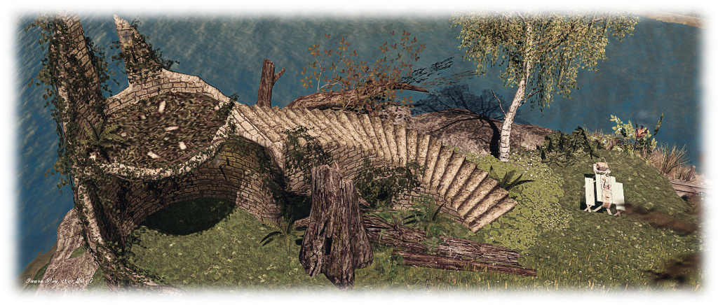
Alongside of all this is the creation of a sense of history. Ruins can be found in the region and offshore: Kriss Lehmann’s Forest Ruins Tower sits on the north side of the island, while a TUFF medieval tower sits partially flooded in the region’s waters, as if caught by the slowly rising waters of a river. Elsewhere, the placement of stones give the suggestion of an ancient long ship, echoing the wreck of such a vessel lying across the bay.

Seagull Islands

This is a place which requires time to explore, as there is much hidden away under the foliage and along the paths and trails awaiting discovery, be they places to  sit or to dance or simply to watch the fires at a camp site or the birds flying overhead. It’s also a place well suited to photography, either under the default daylight settings, or via a range of windlight settings – I opted to use a summer lighting for my photos here.

All told, a pleasant visit – just be sure to wear your hiking boots!

Seagull Islands

SLurl Details

A trip to Borneo in Second Life

Borneo; Inara Pey, November 2017, on FlickrBorneo – click any image for full size

Borneo is a homestead region designed by Neva Crystall (NevaCrystall) on behalf of region holder Gac Akina, and which has just opened. Being a fan of Neva’s work, I was keen to hop over and take a look after hearing about it via Shakespeare and Max after they spent time there at the weekend.

“Neva is magical!” Gac told me as we chatted about the region. “It was supposed to be friends only location; we all needed a place to chill and hang together, but then I just couldn’t lock this up for only a few. I’m very happy we are getting visitors and can’t wait to start seeing some pictures pop up 🙂 .”

Borneo; Inara Pey, November 2017, on FlickrBorneo

The setting has the look and feel far removed from the one you might imagine from the region’s name. Instead of a tropical jungle-like environment, Borneo presents a location strongly suggestive of a northern temperate area, perhaps in the Pacific north-west of North America, or maybe coastal Sweden. It’s somewhat industrial in tone, and set beneath a hazy, cold-looking sky suggestive of the onset of winter.  The region is split into two islands, the larger of which forms a curve running from the north down to the east, while the smaller sits towards the south-west, as if protected by the larger’s curve.

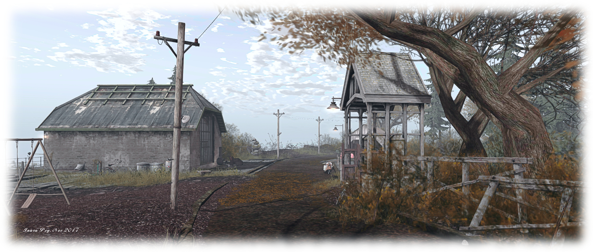
Both are rugged in nature, rising from the surrounding waters on rocky shoulders. The landing point sits to the north side of the larger island, on hard-packed earth. An old warehouse sits to one side of the landing point, with a smaller barn-like storage area on the other. Both clearly haven’t been used for their intended use for some time; the smaller is overgrown and full of ageing bric-a-brac, the larger looks like it has in part been turned into a makeshift den, although one room has long since been claimed by nature.

Borneo; Inara Pey, November 2017, on FlickrBorneo

The flattened ground running between these two structures suggest an old road, or perhaps the remnants of a railway spur, arcing as it does along the spine of the island. Follow it around to the east and south of the island, and it will bring you by way of a gabled gate to a house  on the southern headland – but do note this is not open to the public, so don’t be surprised by the ban lines crossing the path before it.

Take the track around to the west, however, and no such barriers block the way. Instead, the path will lead you by way of an old wooden bridge spanning the narrow channel between the two islands, to a third warehouse, this one converted into a bar, the Borneo Pub. “I can’t wait to open the pub,” Gac told me. “We’re waiting on the logo. We’ll have music and parties there. Nothing really scheduled, just for fun and for people to enjoy. I’m hoping we’ll start in the next week or two.” The bar sits within its own parcel, complete with a dedicated in-world group for those wishing to be kept informed of events there.

Borneo; Inara Pey, November 2017, on FlickrBorneo

Sitting within the curve of the main island is a small, stark bay. This can be reached by a mix of wooden steps and board walks leading down from a another gabled gate, this one close to the landing point. It’s not the cosiest of spots in terms of looks when compared to the usual (and oft-expected) beach, but it does have a certain character and warmth – there is a little snug along one of the board walks, while down by the foot of the steps is a little ramshackle trailer serving hot drinks which the local cat clearly recommends!

Balancing the route down to the bay, and on the north side of the island, is a path that snakes its way down to an old quay. An old fishing boat is drawn up alongside, sitting close to its wrecked twin. Both vessels in the shadow of a brick-built lighthouse that raises a slender finger to the sky, tall enough to look down on the landing point and its buildings.

Borneo; Inara Pey, November 2017, on FlickrBorneo

There is a wonderful feeling of wild desolation about Borneo. cold it may look, but it is rich in character and marvellously presented to both explorer and photographer alike. The attention to detail is superb, the detritus of work and life, giving a real sense that this is a place long-established and with its own history, all of which makes for a rewarding visit.

SLurl Details

  • Borneo (Borneo Isle, rated: Moderate)

Malal’s Autumn cheer in Second Life

Malal's Autumn; Inara Pey, November 2017, on FlickrMalal’s Autumn – click any image for full size

Malal’s Autumn is a scenic Homestead region open to visitors and featured in the November 3rd 2017 Destination Guide Highlights. Designed by TeaRose and Dragon Rider (Dragon Walmer), it offers a perfect autumnal setting for those wishing to hold on to warmer times in the northern hemisphere, whilst also offering something of a promise of spring – golden hues notwithstanding – for those in the southern hemisphere looking forward to summer.

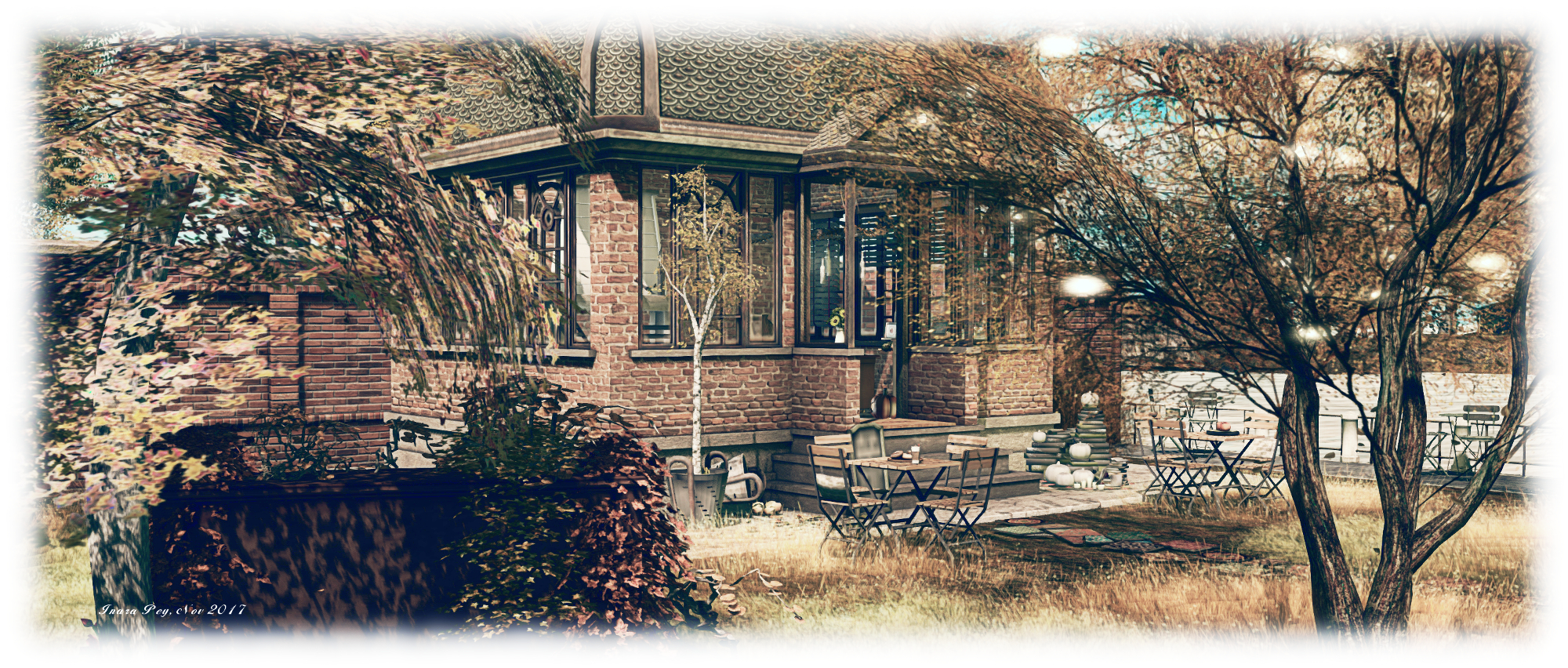
The heart of the region is a small built-up area with tea rooms, cafés and (non-commercial) premises. Bordered by water to the west and east, the centrepiece for this area is a cosy little tiled roof café, warm and homely looking among the flat-topped shops flanking it.

Malal's Autumn; Inara Pey, November 2017, on FlickrMalal’s Autumn

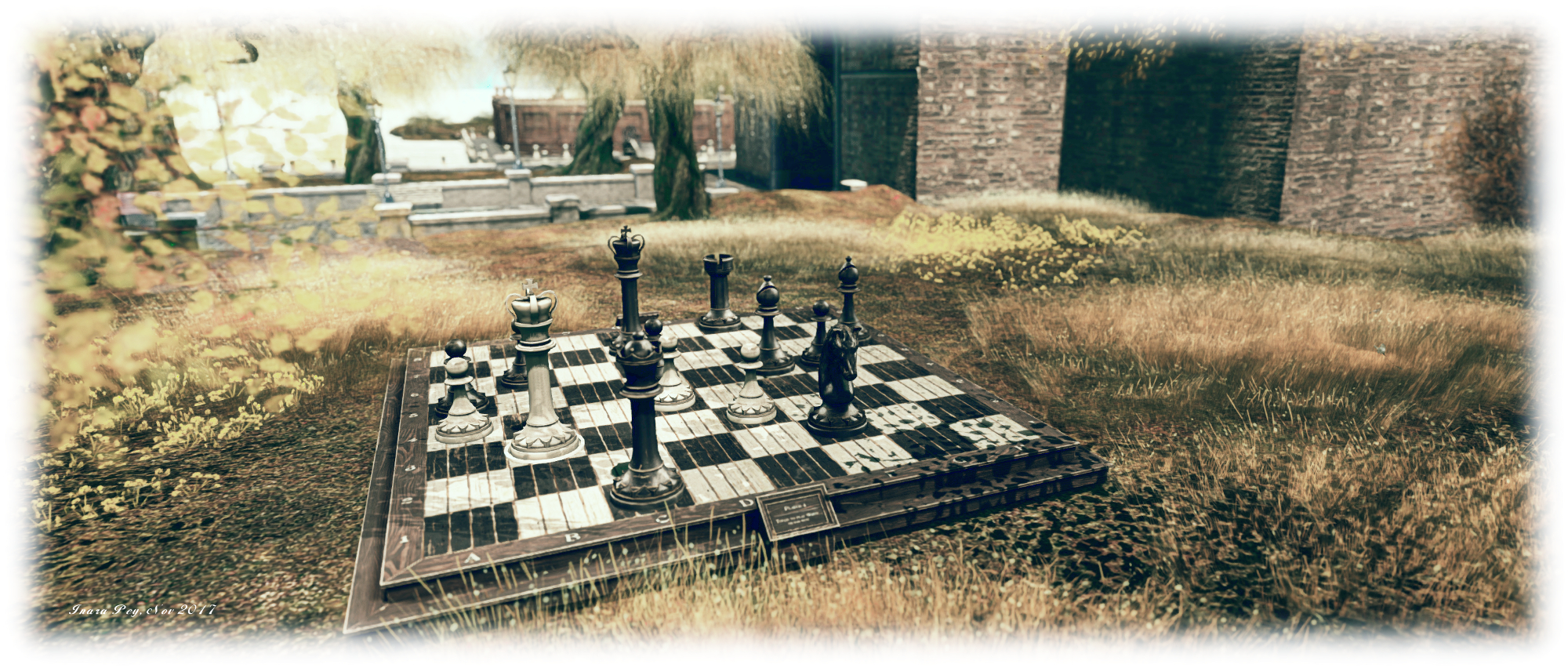
Travel north and west from the landing point, following the stone-paved paths, and you’ll come to open land, a little rugged in setting and overlooking a curved beach where surf boards are stacked and a little beach house sits on silts just beyond the surf. For those not into the beach experience, a game of chess is available on the grassland above, waiting for players to indulge themselves.

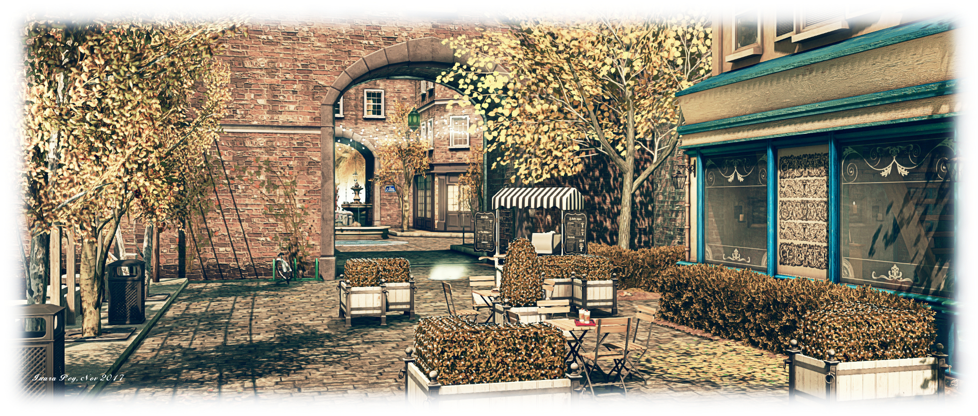
North of the little precinct of shops and reached via an archway spanning the footpath, is an open paved area with a cosy little lounge at its northern end, offering sofas for sitting and books for reading. The paved area offers further views out over the waters west, east and north, complete with views back over the region’s landscape.

Malal's Autumn; Inara Pey, November 2017, on FlickrMalal’s Autumn

To the east, the region breaks up into a pair of smaller islands, rugged in nature and the home of ancient ruins. A viaduct runs over the waters to  grassy headland to the south-east, where a barn and various table games can be found on a third island, offering the chance for those who feel in the mood to pass a little time in friendly competition. Across a covered bridge from here is a small house, linked back to the shops and cafés by a paved footpath, and again presenting a cosy spot in which to spend time.

All of this is very well done, although there are one or two little edges that need smoothing here and there – walls with gaps under them, or buildings floating a little above the uneven terrain. At the time of our visit both TeaRose and Dragon Rider were working on the region, so hopefully these will be dealt with, ant they didn’t intrude enough to  spoil the overall look and feel of the region.

Malal's Autumn; Inara Pey, November 2017, on FlickrMalal’s Autumn

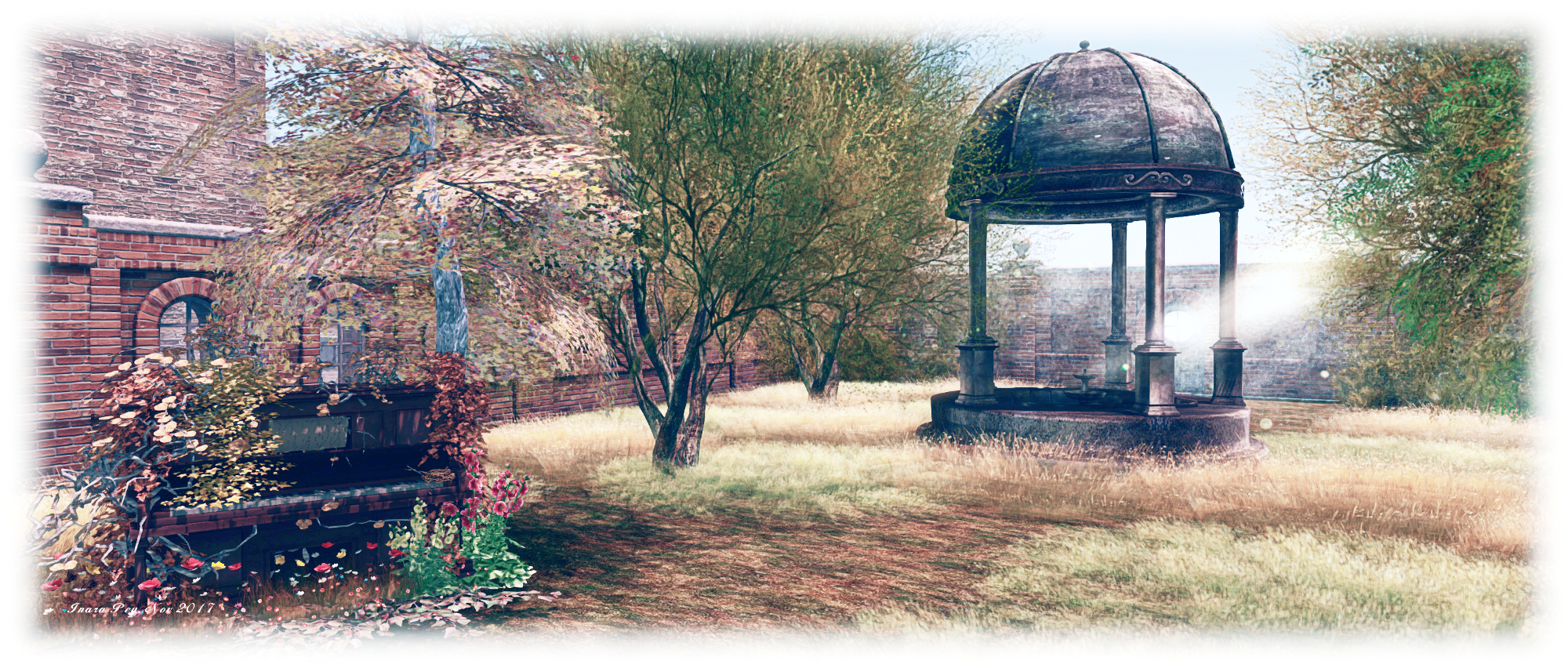
All of this leads me to what is – for me at least – the most attractive part of the region: the walled garden sitting between shops and islands on the north side of the region, and linked to both by bridges. This is home to a Victorian style orangery outfitted as a coffee-house, with indoor and outdoor seating. The garden itself has been allowed to grow a little wild, the grass approaching knee-length, but with a mossy path running through it from the orangery to a folly, while the trees within the walls are strung with lights. It’s  an eye-catching and delightful retreat, and I especially liked the setting and the way the trees and shrubs have been used to break up what might otherwise be an overbearing presence of brick walls.

Music also plays a role through the region, with pianos and guitar offering a range of classic and popular pieces at various points as you explore. So it’s worthwhile exploring with local sound enabled to appreciate both this and the sound scape for the region.

Malal's Autumn; Inara Pey, November 2017, on FlickrMalal’s Autumn

A quiet, considered design with plenty of opportunities for photography, Malal’s Autumn makes for an enjoyable visit.

SLurl Details