An Autumn Trace in Second Life

Autumn Trace; Inara Pey, July 2019, on FlickrAutumn Trace, July 2019 – click and image for full size

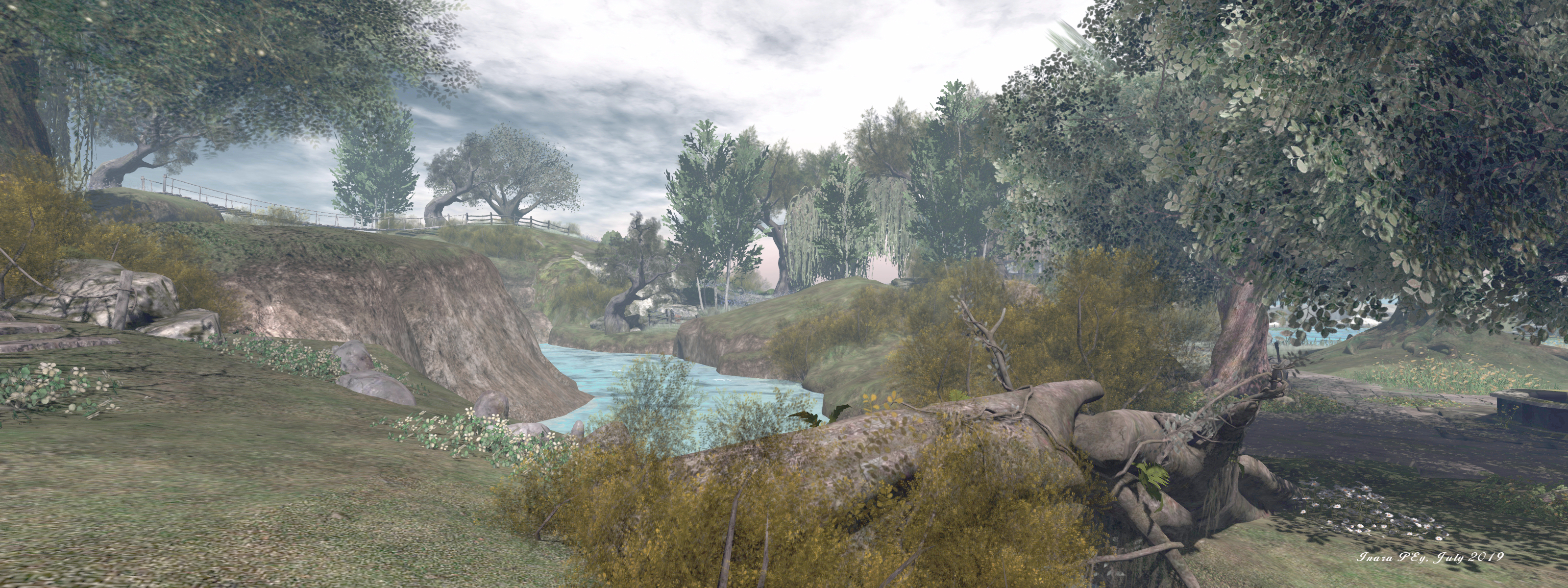
Elvira Kytori has a reputation for producing visually engaging and photogenic regions, and her designs are places we’ve always enjoyed visiting. So it was with pleasure that we made a return to Autumn Trace (formally Fall Trace), having last dropped in to write about it back at the end of 2016 (see Resting in Fall Trace in Second Life).

To be honest, the intervening time has not seen much (if anything) in the way of change in the physical design of the region. Still sitting under a cloud scudded autumn sky with the sun low on the horizon, this is a region that, once rendered, imbues a feeling of tranquillity well in keeping with the its official name. The low sun casts a soft glow across the region and lights the far horizon as if ringing Autumn Trace in a warm embrace.
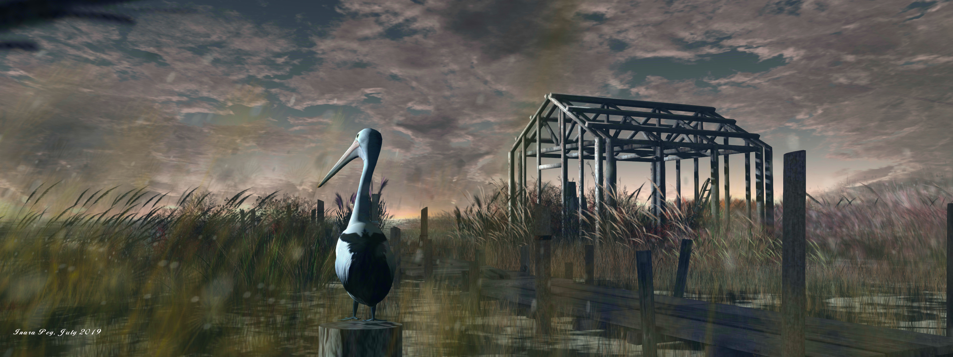
Autumn Trace; Inara Pey, July 2019, on FlickrAutumn Trace, July 2019 – click and image for full size

Completely low-lying, this is very much a water region, the fact that it is presented as a marshland rather than the (perhaps) more usual swamplands seen in Second Life adding a further level of attraction in making a visit. It is also, as a part of the White Dunes Estate, a partially residential region; the houseboat and other houses in the region are available for rent (or may be rented), so some care is required to avoid trespassing onto private property.

The landing point sits towards the middle of the region, within a small shack. From here a board walk leads out over the water and reeds, forming an open U that runs south and east before turning north to end at a small motorboat presenting a place for visitors to sit and enjoy the view. Along the way, the path passes a couple of the rentals, and also other public rest places – including a little raft out on the water, while a shorter branch of the board walk offers access to where a rowing boat also awaits people wishing to enjoy a place to sit and cuddle.
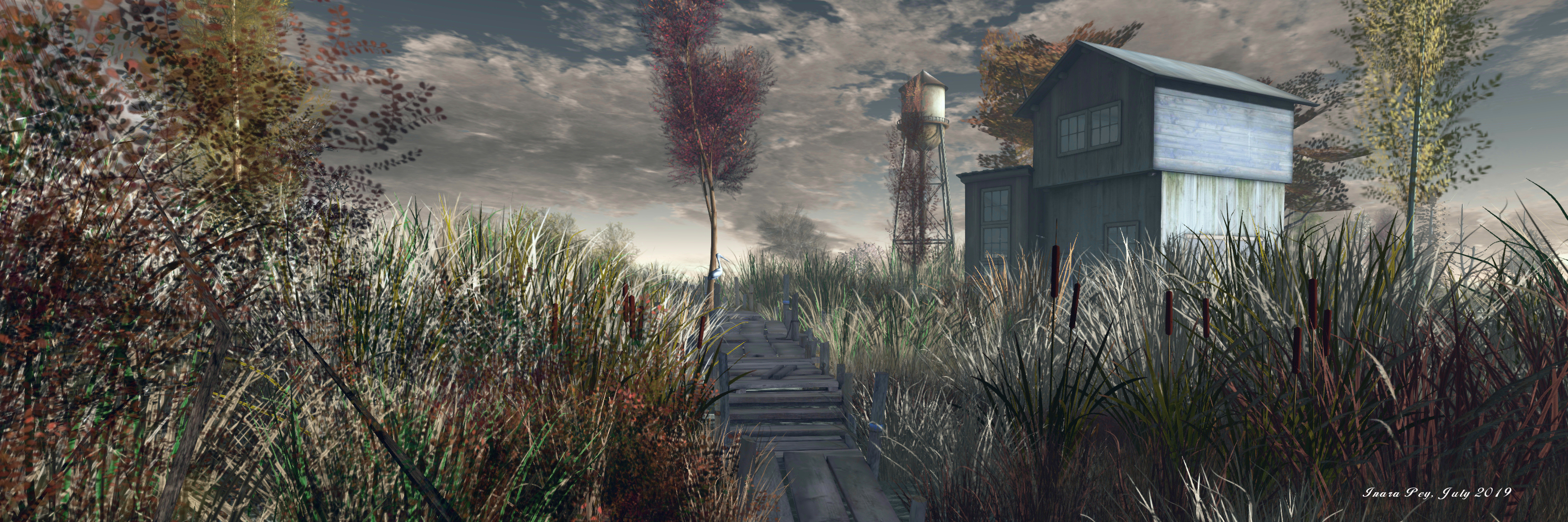
Autumn Trace; Inara Pey, July 2019, on FlickrAutumn Trace, July 2019 – click and image for full size

Eastwards, and overlooked by a watchtower that can be reached via another wooden path, the region is open and wild; south and west is an arc of private rentals, the shallow channel of water between them and the inner part of the region forming a natural buffer against trespass. However, it is not the rentals that hold the attention here; it is the wildfowl and birds.

Across the region one can spot pelicans, herons, geese, cormorants, and egrets, while overhead crows and an eagle circle and small birds can be spotted throughout.  Also to be found are deer and beaver and possibly one or two critters we missed. All of these add additional depth to photography within the region, offering plenty of opportunities to capture the local “characters”.
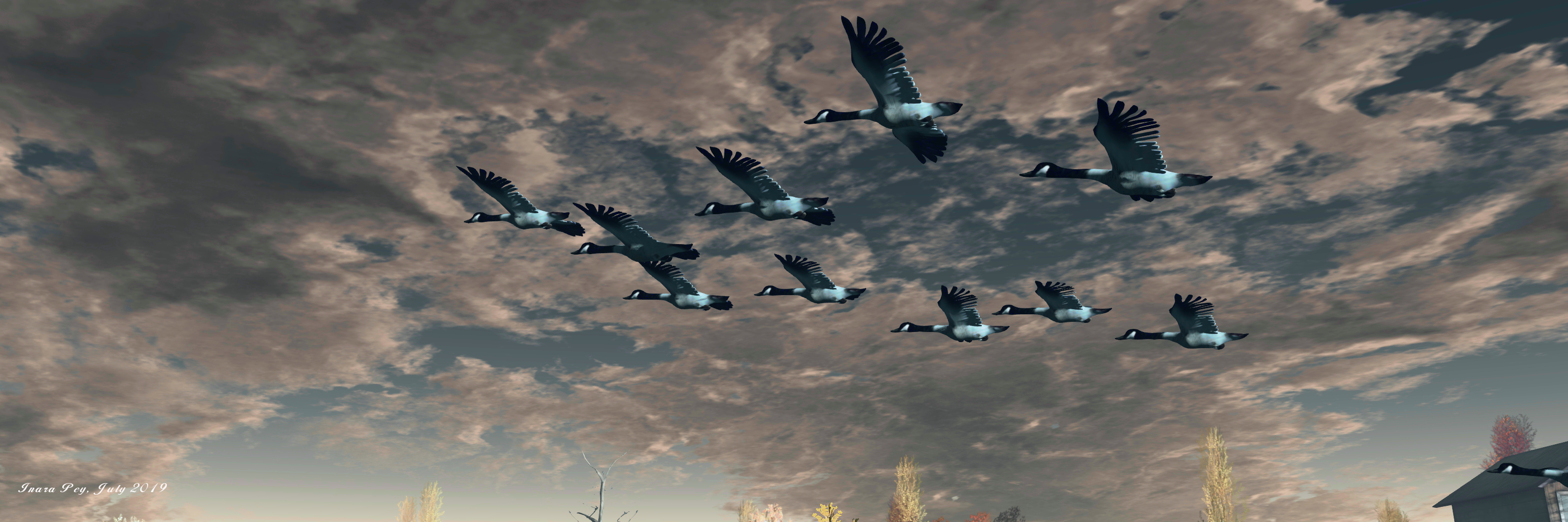
Autumn Trace; Inara Pey, July 2019, on FlickrAutumn Trace, July 2019 – click and image for full size

All of this means that Autumn Trace remains an ideal destination for a relaxing visit, one which – as the heat of summer takes its toll across many parts of the northern hemisphere, perhaps offers a sense of cooler climes and a break from feeling as if you’re slowly broiling in the heat.

With thanks to Miro Colas for the reminder to pay Autumn Trace another blogging visit.

Autumn Trace; Inara Pey, July 2019, on FlickrAutumn Trace, July 2019 – click and image for full size

SLurl Details

Three artists at the Lyric Gallery in Second Life

Lyric Gallery: Mareea Farrasco

Currently on display at the Lyric Gallery is an exhibition featuring three artists: Mareea Farrasco, Lylah Landar and FoxiBrown30.

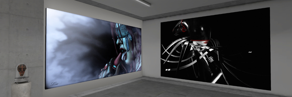
All three are Second life photographers who between them present images that mix avatar studies and landscapes, with the latter in particular the focus of Mareena’s work, which occupies the ground floor of the gallery building. Located on the upper floor, Lylah and Foxi present pieces that lean more toward avatar studies.

Lyric Gallery: Mareea Farrasco

The images by Mareena present a marvellous feeling of being watercolours. Taken within popular public locations in Second Life, each presents an evocative view, some of which do have an avatar focus to them, but which nevertheless offer a vista that naturally has one trying to identify the location in which it was set – if that’s not immediately apparent.

However, what makes these pieces especially evocative is the richness of narrative within each of them – with the starting point for their stories contained within their title. This narrative element is enhanced by the simplicity of the setting used for each piece. Take NorderNey Beach, for example: a view of a breakwater, an incoming tide and boat moored offshore against a haze-filled sky, and the imagination has enough to take flight.

Lyric Gallery: Lylah Landar

Upstairs, Lylah continues the painting theme with some of her images, which are displayed alongside what might be considered more “traditional” photographic finishes. It is this richness of tone and style – paintings and photographs, colour and monochrome – that makes her pieces so attractive. There are many aspects of these pictures that make draw the eye to all of them, but I confess to being particularly attracted to the three alongside the stairwell: A New Day Dawns, Every Butterfly I Get Belongs to You and the piece to its right (which appear to have been mistakenly given the wrong title).  These three, to me, are simply captivating.

Foxi’s images are very much focused on avatars studies presented as photographs rather than paintings. As with the other pieces offered here, each has a story to tell. In this, there are two themes strongly apparent: contemplation / reflection and togetherness, with the fact that all of the images are untitled further adding to their depth of narrative.

Lyric Gallery: FoxiBrown30

Contrasting and complimentary, these are three exhibitions that are captivating and deserving not to be missed.

SLurl Details

Miro’s postcards from Second Life

Lost Unicorn Gallery: Miro Collas

Opening on Friday, July 5th, 2019 at the Lost Unicorn Gallery, curated by Natalie Montagne, is an exhibition entitled A Kaleidoscope of Colour: Postcards from Second Life, featuring the photography of friend and fellow Second Life traveller, Miro Collas (who also regularly points us towards regions we can explore).

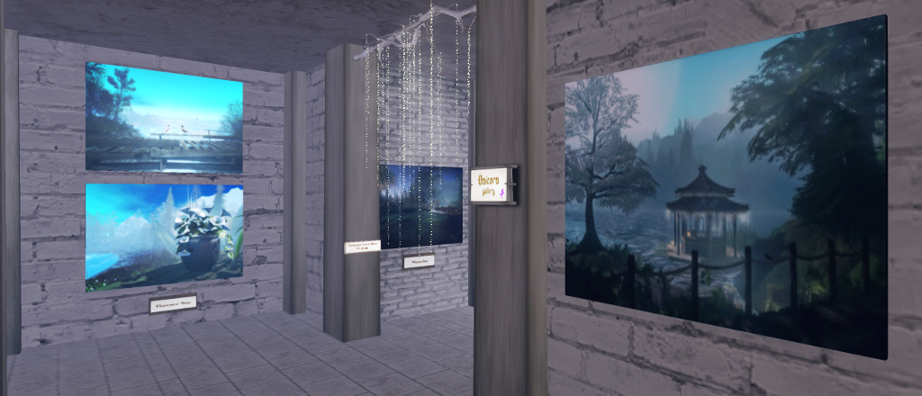
Located in the main hall of the gallery’s magnificent castle, the exhibition features an extensive selection of Miro’s photography taken – as the sub-title for the exhibition indicates – during his travels around Second Life. In all, over thirty photographs are presented, both within the main hall and within some of the rooms leading off of it.

Lost Unicorn Gallery: Miro Collas

However, the thing that draws one to the pictures is Miro’s use of tone, colour and soft focus.

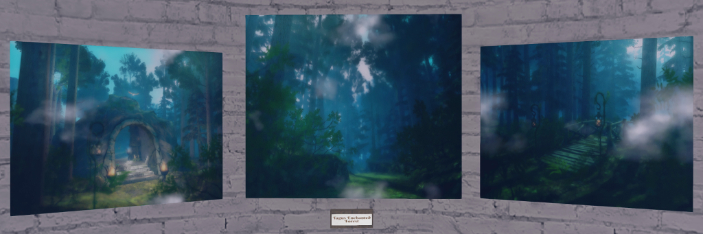
The colour and tone are clearly evident in these pieces, which has been set within the rooms in reflection of this. In the main hall, for example, blue is the predominant hue seen in his images. This gives the pieces a particular tonal quality evocative of fantasy moods and setting. In this, the choice of colour often reflects the locations where with the photos were taken, as with those for The Sanctuary and Tagus Enchanted Forest. Elsewhere, the blue presents a sense of enchantment or mystery to a place one might not necessarily associate with a fantasy setting – such as with Florence Bay.

Lost Unicorn Gallery: Miro Collas

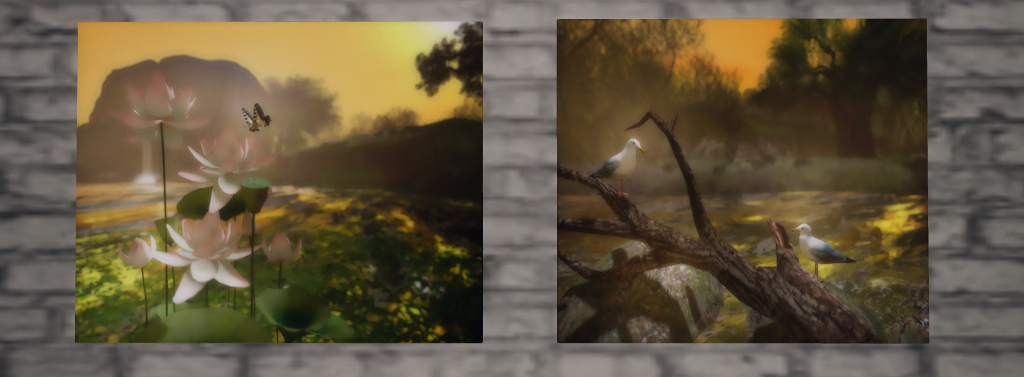
Brighter tones are evident in the selections found in the adjoining rooms as well, notably yellow and orange. Warm colours, these add a sense of homeliness, warmth and familiarity to the locations which, again, is fully in keeping with their nature when visited, or which  presents the subject location in a new perspective, such as with his picture of sunrise / sunset over the shoulder of Ukivok.

Miro’s use of depth of field and soft focus adds a further nuance to many of the images, giving them a painting-like aspect. This really brings each piece to life, as well as adding a great sense of narrative to each piece.

Lost Unicorn Gallery: Miro Collas

All told, an extraordinary exhibition by a Second Life explorer whose work should be displayed far more in Second Life. The formal opening for the exhibition will be marked by a live performance by Phemie Alcott from 15:00 SLT, dress code: “classy casual”.

SLurl Details

The natural beauty of Scarlett Isle in Second Life

Scarlett Isle; Inara Pey, July 2019, on FlickrScarlett Isle, July 2019 – click and image for full size

Scarlett Isle is the name given to the Homestead region held by Grace Sixpence and Zigmal we recently toured. It has been landscaped for them by Engelsstaub, who is perhaps best known for her own region designs at Whimberly, a place I’ve written about on numerous occasions in this blog simply because of the elegance of the settings within it that Staubi presents.

And this elegance and beauty is to be found within Scarlett Isle. The region’s About Land description states “Scarlett Isle is designed to be used by those interested in SL Photography”, and it is very definitely photogenic.

Scarlett Isle; Inara Pey, July 2019, on FlickrScarlett Isle, July 2019 – click and image for full size

The region is presented as a pair of large islands, diagonally cut by a narrow sliver of water running south-east to north-west, where both islands form a bay in which a smaller, lighthouse-topped islet sits.

The more southerly of the two islands is the larger landmass, and home to the landing point as it sits towards the centre of the region. Rugged in nature, the southern island is nevertheless low-lying, marked by a large oval of rocky land to the east. With its stepped strata of grass-topped rock, this looks from some angles like the mossy shell of the great turtle lying in the water.

Scarlett Isle; Inara Pey, July 2019, on FlickrScarlett Isle, July 2019 – click and image for full size

The western end of this rocky hill rolls gently down to a lower shelf of rock extending further westward and bounded to the south by a beach and the north by the dividing channel. This shelf in turns falls away to a marvellous low-lying area of sand, rock and grass that encloses a large pool of water.

Paths – stone, wooden and grassy – wind gently through this rugged landscape, passing under the boughs of trees and between beds of flowers, leading the way to multiple points of interest, be they the wide swath of sandy beach to the west, a waterside walk around the inner pool of water, the stone terrace that sits in a fold of land that the water clearly once cut into, or the heights of the rocky tables south and east.

Scarlett Isle; Inara Pey, July 2019, on FlickrScarlett Isle, July 2019 – click and image for full size

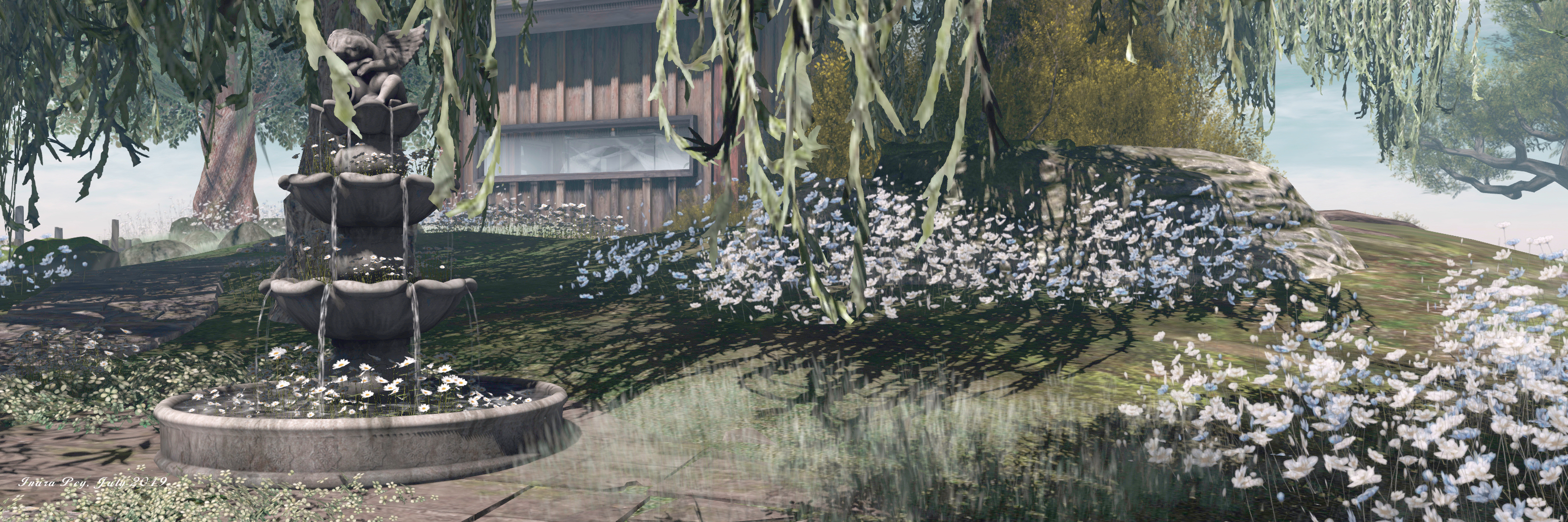
A tall wooden cabin sits on the rock above the landlocked pool, looking westward over the peaceful waters and the beach beyond them. Open to the public, it resides among a copse of olive trees, weeping willows and silver birch that form a curtain of green around it, naturally shielding it and giving it a sense of privacy without actually isolating it from the surrounding landscape.

From here, a wooden board walk offers a way down to the southern curve of beach, while the meandering stone path that connects the cabin with the landing point and the rest of the island continues up the slope to the humped top of the turtle-like hill. This is marked by a great oak tree, a small swing slung beneath one of its great boughs. Surrounded by a wash of blue and white flowers, it is an ideal spot for quiet contemplation.

Scarlett Isle; Inara Pey, July 2019, on FlickrScarlett Isle, July 2019 – click and image for full size

Two bridges span the channel separating the southern island from the northern. One is a wood suspension bridge slung across the region’s highest points – the northern island being, on average, higher than the southern . The other bridge is a simple affair of logs dropped over a lower-lying point of the channel’s banks.

The bridges invite exploration for the northern island – a curbed path winds away from one, and a grass track marked by stone steps runs up the slope from the other. However, do take note that the two buildings located on the northern island  – one sitting close to the suspension bridge and the other off to the north-east at the end of the winding curbed path – are protected from casual visits by security orbs. These offer 15 second warnings – but given the About Land description invites exploration in the region, a couple of signs given advanced warning of the private nature of the houses perhaps wouldn’t go amiss.

Scarlett Isle; Inara Pey, July 2019, on FlickrScarlett Isle, July 2019 – click and image for full size

A large meadow arcs around the north coast of the region between the north island’s two private houses, and a path winds down the cliffs from this to another beach, this one running around the north-east headland of the island. The beach is also open to the public, but, care is again needed when following it along the eastern coast to where a stepped set of decks can be found. These are within one of the private parcels, and it is actually very easy to miss the security orb’s warning on reaching them; so again, a warning sign might help prevent people finding themselves unexpectedly teleported home.

This grumble aside, there is no mistaking the sure beauty of Scarlett Isle. Its look is incredibly natural, and offers a feeling of a wild, but well-cared for garden environment. Throughout the islands are plenty places where this natural beauty can be appreciated, from deck chairs and blankets on the beach to swings under boughs to chairs sitting in the shade of parasols on that stone terrace, or benches sitting on rocks or grassy bank and more. All of which sits within an ideal sound scape that makes Scarlett Isle an almost perfect visual and aural experience. Those taking photos are invited to share them with the region’s Flickr group, and a fee of L$150 provides rezzing rights via the local group.

Scarlett Isle; Inara Pey, July 2019, on FlickrScarlett Isle, July 2019 – click and image for full size

With thanks to Shawn for the pointer and LM!

SLurl Details

An artistic Masquerade in Second Life

DiXmiX Gallery: Masquerade – Lou Shadow and Calypso Applewhyte

Masquerade is the title of an ensemble exhibition at DiXmiX Gallery that opened on June 20th, 2019. It features images by 34 Second Life photographers that have been selected by Dixmix Source, the gallery’s curator, along the theme of masks (which also encompasses the likes of helmets face masks, gas masks, make-up as a mask, as well as the more traditional masquerade mask suggested by the title.

Occupying all three halls of the gallery, the exhibition comprises a one or two pieces from each of the selected artist; they in turn comprise: Algezares Magic, Aniki Seetan, ByrneDarkly Cazalet, Calypso Applewhyte, Catherine Nikolaidis, Edie Horngold, Ember Adored, Gaus, Génesis Rodriguez, Guen Gothly, Izabela Navarathna, Jaggy, Kimmy Littleboots, Kimmy Ridley, Krizze Sparrowhawk, Laura Mrs S, Lou Shadow, Maloe Vansant, Megan Prumier, Mila Maesar, Ornella Batriani, Pam, Purple Leonis, Ryleigh Theas, Shocoon, Sinon Vale, Sonic, Tania Tebaldi, Tiya Aura, Tralala Loordes, Valenska Voljeti, Vallys, Wicca Merlin and Dixmix himself.

DiXmiX Gallery: Masquerade – ByrneDarkly Cazalet and Tiya Aura

Given the broad spread of photographers, this is unsurprisingly a richly mixed exhibition with wide-ranging styles and themes, with one or two of the images perhaps stepping into the realm of NSFW. Given the focus is headgear, the themes touch on science-fiction, fantasy (notably some darker shades, rather than perhaps the more wistful), adult games, etc.

Such is the volume of work here that this could easily be the kind of exhibition that desensitises the visitor to the subject matter (“Oh, look another avatar wearing a mask!”). However, through his selection and curation of the images, Dixmix utterly avoids this, putting on a display so richly diverse, and with the majority of the images offering a depth of narrative that extends well beyond their frames, that the exhibition is captivating throughout.

DiXmiX Gallery: Masquerade – Sonic and Guen Gothly

The diversity of work on display means that picking out individual pieces is an impossible task: each has its own attraction and most – as noted – have their own distinct story to tell. As such, this very much is an exhibition that should be witnessed first-hand.

SLurl Details

Visiting Norddeich in Second Life

Hallig Norddeich, Nibbevegen 1; Inara Pey, July 2019, on FlickrHallig Norddeich, Nibbevegen 1, July 2019 – click and image for full size

Update: Norddeich appears to have closed and the host region is now private.

Following a recommendation from Shawn and Max, we dropped into Hallig Norddeich, Nibbevegen 1. A Homestead region designed by Svenja Maass (MinAleiga), it offers a slightly untamed feel of a coastal region which, given the name, I couldn’t help but wonder if it took its inspiration from Germany’s East Frisian coast and islands.

I’ve no actual solid reason for stating that it does – other than the presence of Norddeich in the title (Hallig being “exuberant”), but should that be the case, then it would certainly be appropriate; the islands along that stretch of coast, together with their cousins along the more northern aspect of the Wadden Sea coastline, have given rise to the naming of a number of places in Second Life, including Norderney and Amrum, both of which have featured as destinations in this blog.

Hallig Norddeich, Nibbevegen 1; Inara Pey, July 2019, on FlickrHallig Norddeich, Nibbevegen 1, July 2019

While the physical world Norddeich is a coastal area, this one is quite clearly an island, one among a group that rise from the sea, although its neighbours are a good deal more mountainous in appearance – and a good deal more rugged than the Frisian islands (East or North).

With their rugged faces and lack of trees, these off-sim island give the region something of a Scandinavian feel; were that more joined, it wouldn’t be too hard to imagine this to be a remote island sitting within a fjord. Hence why, perhaps, the hint of Norwegian influence in the region’s name as well (being the name of the road leading up to the Geiranger Skywalk).

Hallig Norddeich, Nibbevegen 1; Inara Pey, July 2019, on FlickrHallig Norddeich, Nibbevegen 1, July 2019

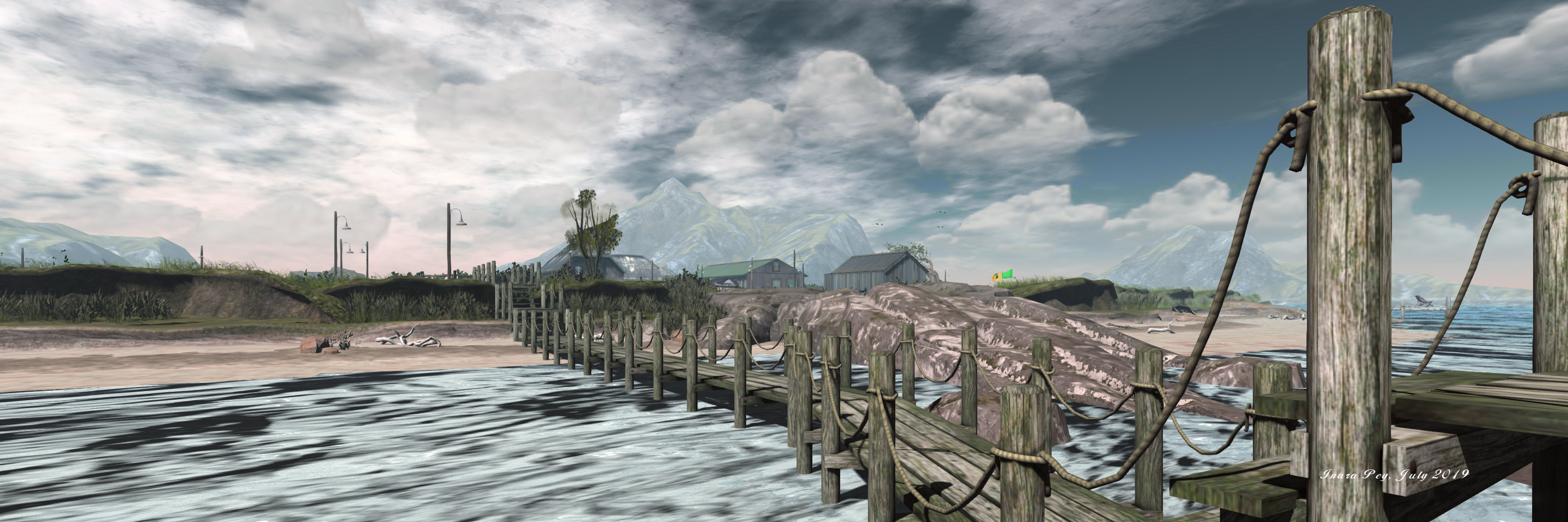
The region is split into two islands – the smaller of the two forming the landing point, and the larger the main point of exploration / interest. Both are low-lying, a wooden board walk spanning the narrow channel between them. Save for the shack of the landing point, an old, bent tree and a few shrubs, the smaller island has little to entice visitors to stay, marking it as the perfect spot for the sea lions occupying a small deck on the island’s north side to enjoy a little peace and quiet.

Across the board walk, the larger island is equally low-lying. Ringed by a thin band of sedimentary sand, much of which would appear to be under water at high tide, the core of the island is buttressed by humpbacked cuesta, marking the point where the softer sediments of the beach give way to harder rock the sea is talking a lot more time to erode.

Hallig Norddeich, Nibbevegen 1; Inara Pey, July 2019, on FlickrHallig Norddeich, Nibbevegen 1, July 2019

On the west side of the island, the sea has had a little more success in cutting into the land, forming a shallow, sandy cove that has been set out with beach chairs, blankets and deck chairs, the flags fluttering above it indicating the area is safe for bathing but surf boards or other types of board-based spots / floatation devices are not permitted.

With few trees – the main vegetation being grass and hardy shrubs – the island offers a strange mix of buildings suggestive of this once being a place of work. Two of these sit towards the middle of the island, and have a definite industrial vibe to them. However, the larger – which may once have been a long storage shed – is now a bar, presumably here to keep those visiting the island for its beaches refreshed. Separated from it by a little outdoor drinking area and a greenhouse, the smaller of the two units has been converted into a cosy little home that looks out over a rutted track to where sheep graze in a large, fenced field.

Hallig Norddeich, Nibbevegen 1; Inara Pey, July 2019, on FlickrHallig Norddeich, Nibbevegen 1, July 2019

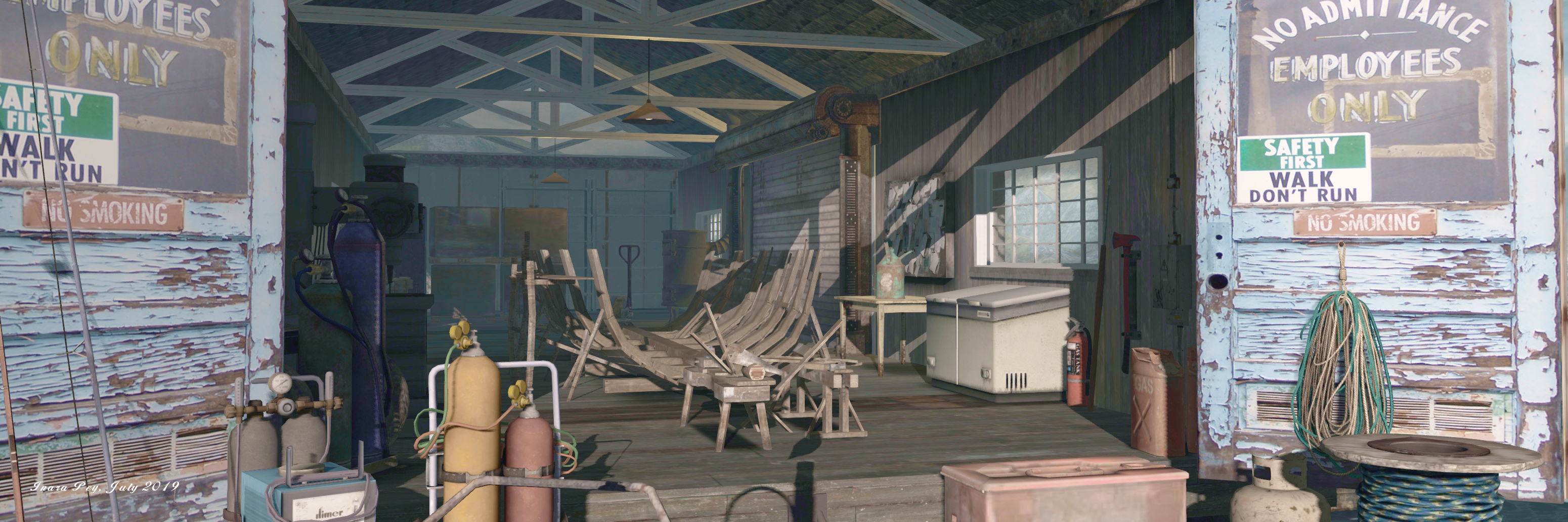
The track – one of a number rolling across ver the uneven landscape, runs past the two buildings to connect the beach to the west with a wharf to the east, a branch also connecting it with the board walk to the landing point. The wharf is clearly a place of work – the keel of a boat is being laid down inside the boat shed and a fishing boat with fish in its holds is tied-up alongside.

With multiple spots located around the beaches where cuddles and seats can be enjoyed, the region also offers other little spots for shared moments, indoors and out (try the gate into the sheep field for example). There’s also a suitable sound scape to round things off, making this an enjoyable place to visit and photograph – the latter being added by the inclusion of a cloud scape as a part of the region’s off-sim landscaping.

Hallig Norddeich, Nibbevegen 1; Inara Pey, July 2019, on FlickrHallig Norddeich, Nibbevegen 1, July 2019

SLurl Details