The Ruins of Deepmarsh in Second Life

Ruins of Deepmarsh; Inara Pey, March 2018, on FlickrRuins of Deepmarsh – click any image for full size

Update: Ruins of Deepmarsh has closed, SLurls have therefore been removed from this article.

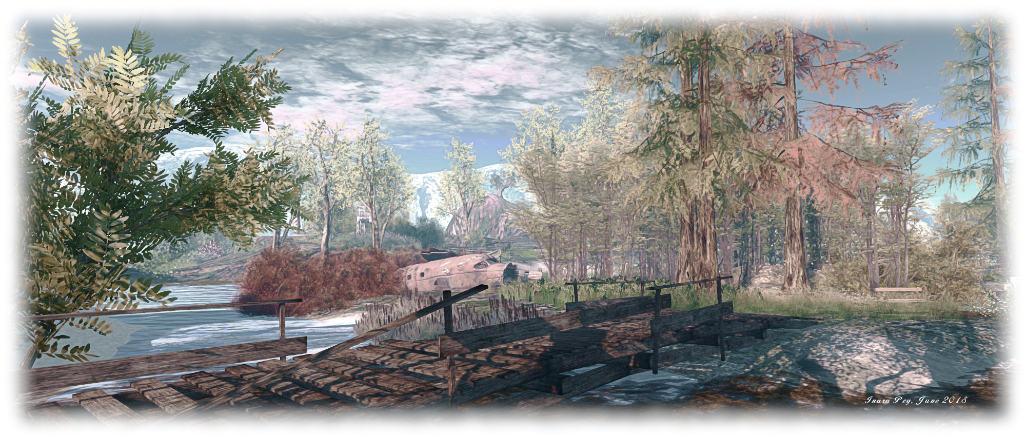
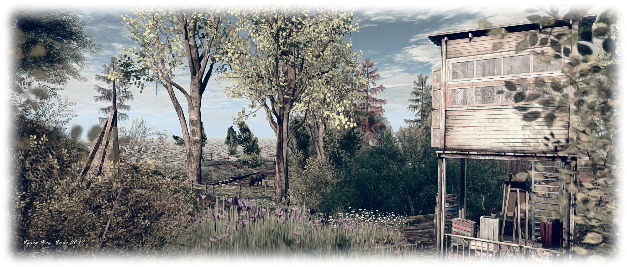
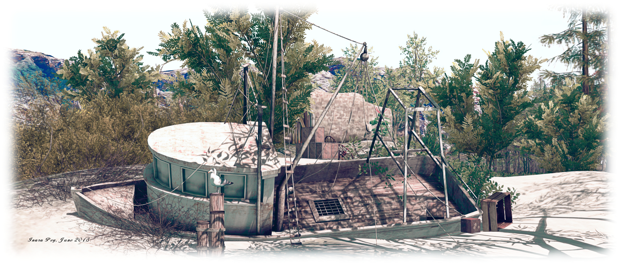
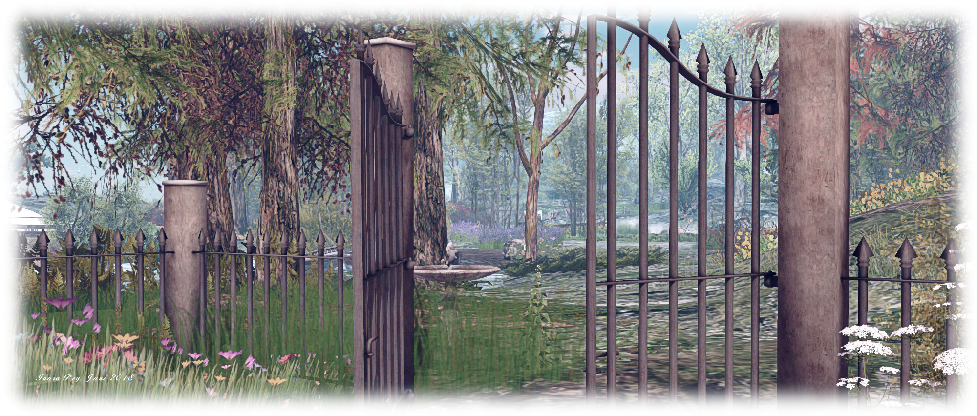
The Ruins of Deepmarsh is a Homestead region designed by River (Moya McCallen) as “a tranquil haven for those looking for an out-of-the-way place to hide for a while, especially with someone special. ”  It’s an open, rather eclectic region in looks, mixing the outdoors with art, places to relax and little curios to discover.

A visit begins at the landing point, a little isle in the midst of a group of islands. A telephone kiosk stands on this little piece of land, watched over by a greyhound and bunny. It forms a teleport system – but only for those who are part of a private group based on the region; for casual visitors, it is the surrounding islands that are open to the public.

Ruins of Deepmarsh; Inara Pey, March 2018, on FlickrRuins of Deepmarsh

These are linked together, for the most part, by a network of bridges which offer a way – at least in part – to explore the landscape. Three radiate out from the landing point itself, and which you take is entirely up to you. To the north sits one of the larger islands. Broad and flat, it is home to a wooden deck built around an oak tree. More bridges link this island with its smaller siblings sitting on the north side of the region, while an old ruins sits atop an off-sim island, watching over all of them.

Curling around to the west, and then running south, the large island breaks into a series of headlands or is inset with little coves, each with its own feature waiting to be discovered. All of them are dominated by the bulk of a large Moon literally rising from the sea; on the headland before it a window frame floats serenely above the ground at the end of bridge (careful when crossing the latter!), offering a pose point from which to take pictures (at midnight, perhaps?) with the moon as a backdrop.

Ruins of Deepmarsh; Inara Pey, March 2018, on FlickrRuins of Deepmarsh

South of the Moon and the old watchtower facing it, the weather becomes wetter. Thunder grumbles and lightning flashes, while an old rowing boat is suspended from telegraph poles rising from the turbulent waters, offering another place to sit, cuddle and / or take photos.

To the east, the weather is fairer, while the islands offer more places for sitting and cuddling, be they on a beach, inside an old cabin build up against a grassy dune, within a cavern reached by yet another bridge, or simply atop a dune. Several are watched over by sculptures by Mistero Hifeng. Elsewhere there are swings and benches upturned boats wedged in place and with cushions and blankets beneath, while gulls pass overhead, critters run through the grass and herons stand like butlers awaiting a summons.

Ruins of Deepmarsh; Inara Pey, March 2018, on FlickrRuins of Deepmarsh

The majority of the landscape is open to the sky, the trees few and scattered, some with backs bent from long years in the wind. However, one of the islands is crowned by a copse of oak tree through which a sandy path leads to another piece of art, a secluded swing next to it.

The eclectic nature of the region comes from things like the telegraph poles and their suspended rowing boat seat, a bridge held above the water by a trio of hot air balloons, the biplane alongside the deck near the landing point, the single island with its touches of Buddhist mysticism – even the landing point’s telephone booth. These also at first seem a little out-of-place among this nesting of islands – but so to do they feel a part of it, adding to the personality of the region.

Ruins of Deepmarsh; Inara Pey, March 2018, on FlickrRuins of Deepmarsh

The Ruins of Deepmarsh – as the description suggests – offers an excellent getaway for those looking for somewhere quiet in which to relax or to hide for a while. Photography is welcome, and the region has a Flickr group for those wishing to submit their images. Should you enjoy your visit, as we did, please consider making a donation towards the region’s upkeep at the landing point.

SLurl Details

  • The Ruins of Deepmarsh (Beck, rated Moderate)

Another trip on Route 66 in Second Life

Motorheadz Café / Route6; Inara Pey, March 2018, on FlickrMotorheadz Café / Route66 – click any image for full size

Route 66 has been a popular subject for region designs in Second Life over the years, and one of the more recent is called Motorheadz Café / Route66, which Shakespeare alerted me to recently. Designed by ROCKET (Rocket Biedermann), this Homestead region immediately put me in mind of  Mother Road, which Caitlyn and I visited in September 2017 (see here for more). Such is the similarity between the two, one might easily be the neighbour to the other.

Bracketed to the east and west by mountains, the region is dissected by the titular road, alongside of which sits the landing point. Take care on arriving – it’s easy to step out on the road, and as you’ll find out, this actually has traffic passing along it periodically – cars, pick-up trucks, police cars – even trucks towing semi-trailers.

Motorheadz Café / Route6; Inara Pey, March 2018, on FlickrMotorheadz Café / Route66 – click any image for full size

The road is straddled by a small township that seems to have grown up here as a result of pharmaceutical plant that apparently started operations in 1886. The security guard at the gate suggests it is still in use, but perhaps it is now more of a storage facility than anything (and part of it is off-limits to visitors).

This might explain why the rest of the town is looking somewhat run-down; without a place of work, many of the local inhabitants may well have moved on to pastures new; what’s left is a handful of roadside business – an auto shop, the titular Motorheadz Café, a couple of stores, a doughnut shop offering competition to the café, and a run-down motel which hardly lives up to its name: Miami.

Motorheadz Café / Route6; Inara Pey, March 2018, on FlickrMotorheadz Café / Route66 – click any image for full size

Behind these, again on either side of the road, lay a scattering of houses and shacks. all of them looking more than a little run-down – but going on the cars parked outside of them, several are still considered home by the locals.

What makes this region a little different is the work that’s been put into making it appear to be “alive”. There are the aforementioned vehicles zapping along the main road, while scattered around the region are posed dummies. There’s nothing new in this – such characters often turn up in many regions; but rather than having such dummies individually placed – at market stalls, behind counters, etc., Rocket has brought them together in series of vignettes.

Motorheadz Café / Route6; Inara Pey, March 2018, on FlickrMotorheadz Café / Route66 – click any image for full size

There’s the couple outside of the auto shop, for example, apparently waiting for the car to be fixed; while outside the motel, certain negotiations appear to be under way. Further afield, the local motorbike gang are gathering at their club-house, and so on – but check inside the café for the best example of bringing these characters together to form a little story. Cats are also much in evidence, doing the things cats do – including perching themselves in locations that are unexpected – but typically cat-like.

Motorheadz Café / Route66 may not appeal to everyone, but I admit to finding it with its own charm. With rezzing open (5-minute auto-return), it makes an ideal environment for photographers looking for a more unusual backdrop, particularly if “extras” are needed. There’s also opportunities for photos in other parts of the region: alongside the train tracks, out in the fields, etc.

Motorheadz Café / Route6; Inara Pey, March 2018, on FlickrMotorheadz Café / Route66 – click any image for full size

SLurl Details

Sundarban in Second Life

Sundarban; Inara Pey, March 2018, on FlickrSundarban – click any image for full size

Update: This location has closed, the SLurl have therefore been removed from this article.

“Sundarbans is a vast mangrove forest located between India and Bangladesh, well-known for being the habitat of the Bengal tiger,” Gabrian Lascelles (gothicgaylord) writes in his introduction to his new Homestead region, Sundarban. “It’s my vision of India,” he informed me in passing an invitation to Caitlyn and I to visit. “And as I’m from Sweden, it’s been a lot of research for me, but if I’ve managed to catch just a breath of India, I’m happy!”

Gabrian is perhaps best know for designing and building Costa Blanco (see here for more), and as a landscaper at Amazon River. We both thoroughly enjoyed Costa Blanco, so with Gabrian’s invitation in hand, we hopped over to Sundarban to have a look around.

Sundarban; Inara Pey, March 2018, on FlickrSundarban

The physical world Sundabarans lies in the vast delta formed by the by the super confluence of the Ganges, Hooghly, Padma, Brahmaputra and Meghna rivers as they empty into the Bay of Bengal, straddling India to the west and Bangladesh to the east. It is a huge ecosystem encapsulating both freshwater swamps and the world’s largest area coastal mangroves, around 10,000 square kilometres (6,250 sq mi). As Gabrian notes, the area is the home of the endangered Bengal Tiger, but it is also home to other endangered species besides, such as the estuarine (or saltwater) crocodile, the northern river terrapin, the South Asian river dolphin (freshwater dolphin), barasingha swamp deer, as well as more widespread breeds of mammals, bird, fish and reptiles.

For his build, Gabrian presents a coastal area made up of low-lying muddy / sandy islands, some linked by bridges, others by zip lines, while little motor boats provide the means of puttering around the waters to reach all of them. The landing point sits on an island on the north side of the region, where sits a little shanty store. Elephants are bathing in the water close by – although they are of African, rather than Indian, origin (don’t blame Gabrian for this, African elephants in natural poses are a lot more popular with creators than their Indian cousins).

Sundarban; Inara Pey, March 2018, on FlickrSundarban

East from here, over a low wooden bridge, is a second island. This is home to an old corrugated iron shack, a small shrine, and a path leading up to the wooden jetty on the north side of the island where the motor boats can be obtained. For the adventurous, a set of zip lines have been set up behind the old shack, providing a way for people to travel to / from the island to the south without the need for a boat or getting their feet wet.

This island is probably the largest by visible landmass in the group. It arcs to the south and east, a slender ribbon of grassy dunes sitting under the shade of trees reflecting the physical world’s Sundarbans freshwater forests, before ending in a finger of rock pointing up at the sky. An ancient ruin can be found here, converted into a rest spot complete with canopied massage table looks towards the eastern islands in the group, and another pair of zip lines link it with the nearest of them. Before riding one of them, however, it’s worth walking down to that finger of rock I mentioned – you’ll pass more of the local wildlife along the way and find a most unusual perch up in the rock itself.

Sundarban; Inara Pey, March 2018, on FlickrSundarban

Those seeking the tigers will need a motor boat, as they are on a small island to the north-west, separated from the rest by water. Just heed the sign as you approach the island’s little bay, or you might find yourself on the menu – as seems to have been the case with the last couple of visitors, porcine and human!

Sundarban is Gabrian’s personal vision of an exotic part of India, and a place that’s easy to explore and easy on the eye. Throughout the islands are numerous places to sit and cuddle (although be aware some do have distinctly adult poses in them!), and plenty of opportunity to take pictures. Should you enjoy your visit, please consider a donation towards the region’s upkeep – just look for the beggar / trader near the path to the motor boat jetty.

Sundarban; Inara Pey, March 2018, on FlickrSundarban

SLurl Details

  • Sundarban (Enchanted World, rated: Adult)

A summer’s twirl in Second Life

La Virevolte; Inara Pey, March 2018, on FlickrLa Virevolte – click any image for full size

“Twirling like a butterfly, fluttering in the sky, choosing the most fragrant flowers, regardless of the end of summer.” So reads the introduction to the latest incarnation of La Virevolte (The Twirl), the highly photogenic Homestead region designed by Iska (sablina). When last we visited, the region was in the grip of winter. With this incarnation, the region has a new look caught in the Sun – as the description says – of late summer.

A visit starts on a terrace outside of a little café. It sits in the corner of a little hamlet built alongside a channel-like canal running east-to-west through the region, splitting it in two. A house also occupies the terrace, a vintage Citroen van serving as a mobile fresh produce stall, sitting between the two. Facing them sits another house, the barn alongside seemingly in the process of being converted into a home. House and barn sit on an island of grass surrounded by a loop of road.

La Virevolte; Inara Pey, March 2018, on FlickrLa Virevolte

The western end of this loop touches on a headland ending in a promontory of rock on which is perched a lighthouse keeping watch on things. North of the hamlet, beyond the road’s loop, the land offers rugged grassland rising to a rocky bluff. This open, rugged land continues around the east of the region, grassy slopes rising within the shoulders of a high v-shaped plateau. The grass between the slopes and the café are divided in part by an ancient stone wall, cupping a wild garden between it and the hamlet’s buildings.

Across the channel – which is spanned by a stone bridge – a road runs south before curling to wind its way up the stepped landscape, ending among tall pines trees, where a track points east to where an old farmhouse sits atop a rocky shelf, the land between track and building also falling in gentle steps, some of which are – like the terraces below – retained by ancient drystone walls.

La Virevolte; Inara Pey, March 2018, on FlickrLa Virevolte

These terraces are in part cultivated, presumably by whoever lives up in the farm-house. The lowest one is given over to root and vine vegetables, while grapes are ready for harvesting on the next terrace up. They and the vegetables point to the late summer setting for the region. Stone steps climb the terraces, offering a shorter route up to the track leading to the farm-house for those who don’t feel like walking the road.

This is another marvellous design by Iska, one made particularly attractive by the way things like the building have been brought together. Take the house across the road from the café, for example; part of the original wall seems to have collapsed at some point, and an effort has been made to replace it with a red brick wall. Elsewhere sit the carcasses of an old a car and van, the former turned into a little garden, the latter now serving as a snuggle spot. These and the children’s toy and tricycle in the grounds of the houses, a broken flower-pot on a doorstep, all give the feeling that this is a home to unseen locals.

La Virevolte; Inara Pey, March 2018, on FlickrLa Virevolte

Walking through the region, it is very easy to picture you’re deep in rural France. I was immediately put in mind of parts of the Massif Central (the open water and lighthouse notwithstanding), given the general style of the houses. I mentioned this to Iska as we talked about the design. “The southern foothills of Massif Central, yes!” she replied. “[With] a lot of fountains and rivers, I love the sound of water everywhere.”

To say this is once again a photogenic design would be an understatement; it is a painting in and of itself, the selected windlight and sound scape both complementing it perfectly. Throughout the region are places to sit and admire / cuddle, such as the aforementioned old van, a picnic blanket out on the banks of the channel, the tables of the café and more. 

La Virevolte; Inara Pey, March 2018, on FlickrLa Virevolte

Altogether, another fabulous design, kudos to Iska in building it and offering it to people to visit. and thanks to Shakespeare for the nudge concerning the redesign.

SLurl Details

The Isle of May in Second Life

Isle of May; Inara Pey, March 2018, on FlickrIsle of May – click any image for full size

Update, November 26: Isle of May has re-opened for winter 2018 – read here for more.

Update, July 6th: Isle of May has “closed for now”. SLurl links have therefore been removed from this article.

Isle of May, located on the north side of the outer Firth of Forth, is a tiny island – less than 2 kilometres long and under half a kilometre wide – sitting 8 km off the Scottish coast. A rugged finger-like uplift of basalt, it has no permanent human residents today but is managed by Scottish Natural Heritage as a National Nature Reserve, and home to over 285 bird species, including puffins, kittiwake, guillemots, razorbills, shags and fulmars, and from October through Easter, is a home for seal pups.

It is also now the inspiration for a new region design in Second Life. Called, appropriately enough, Isle of May. Designed by Jade Koltai and her partner, Serene Footman (of FurillenKhodovarikha and La Digue du Braek fame), the region is a beautifully conceived and executed design.

Isle of May; Inara Pey, March 2018, on FlickrIsle of May

Compressing something even as small as Isle of May into Second Life isn’t easy, but within this design, Jade and Footman have captured the essence of the island perfectly. As rugged as the original, it is similarly cut by deep gorges, and offers a hint of antiquity – the original had settlements dating back to the Bronze Age, and was the site of one of the earliest Christian churches in Scotland, was a site of pilgrimage and, in medieval times, home to a Benedictine community – through the ruins located on the north-western headland.

Some of the island’s famous landmarks are imaginatively represented. Its two lighthouses and unmistakeable fog horn, for example, have been combined into a single lighthouse and buildings on the north-eastern headland of the region (check the map of the island inside the building alongside the lighthouse). A little artistic license is also taken with the geography; this Isle of May is cut into three islands linked by wooden bridges. However, while the Rona peninsula of the original is almost separate from the rest, the physical Isle of May is but a single rocky mass.

Isle of May; Inara Pey, March 2018, on FlickrIsle of May

This setting also has a lot of foliage in the form of trees and bushes than the original boasts (it being largely grassland atop its basalt rock plateaus). But the trees and bushes help to give the couple’s vision more of a unique look and feel – although at times, the foliage can make several of the paths winding down the cliffs a little hard to find when searching at avatar eye-level.

These paths offer multiple routes down to the islands’ rough coast. Some lead to shale and rock “beaches” and coves, others form paths down to shoreline buildings – here a cottage, there an old working hut on a pier, now converted into a cosy snug …

Isle of May; Inara Pey, March 2018, on FlickrIsle of May

Jade and Serene note that while the original has no permanent human residents, they imaged their Isle of May to be home to a small community of artists and photographers – hence the large house dominating the main plateau, and the aforementioned cottage and converted pier hut. And it works perfectly.

Also well represented is the island’s avian communities are richly and diversely represented, from garden birds through to cormorants, guillemots and more, while the more usual seal pup population found on the island in winter months has been imaginatively substituted by the presence of sea otters, while dolphin and orca might be found off-shore, together with a passing trawler.

Isle of May; Inara Pey, March 2018, on FlickrIsle of May

“What we were searching for is something holistic and organic,” Serene and Jade note of the build. “For visitors, an immersive experience of being ‘in nature’ that is powerful and evocative.” With its natural look and feel, wrapped in a delightful sound scape and suited to a wide range of windlight settings, it is absolutely clear that they’ve succeeded.

With thanks to Shakespeare from dropping me the LM!


Spirit of Sun, Spring 2018 in Second Life

Spirit of Sun; Inara Pey, March 2018, on FlickrSpirit of Sun – click any image for full size

Now open to the public through until approximately Sunday, March 18th, is Spirit of Sun, a normally private group-owned region. The region has been opened to public access as a part of a photo competition, in which entrants are asked to submit images to the Flickr group associated with the Spirit of Sun. Caitlyn and I were alerted to the opening by Shakespeare and Max, so given the brief period of opening we hopped over to take a look – and found a visually stunning region, well worth taking the time to visit.

The region has been split into three large islands of roughly equal size. The landing point is on the southernmost of the three, a slender finger that runs east-west across the sim’s entire length. A rugged plateau, it is topped by a  bumper car ride (available to visitors) at its eastern end, linked to a central plaza of shops by a broad cobbled walk and wooden steps. Beyond the shops sits a garden area featuring a small stage, open-air seating and a track leading back to the shops.

Spirit of Sun; Inara Pey, March 2018, on FlickrSpirit of Sun

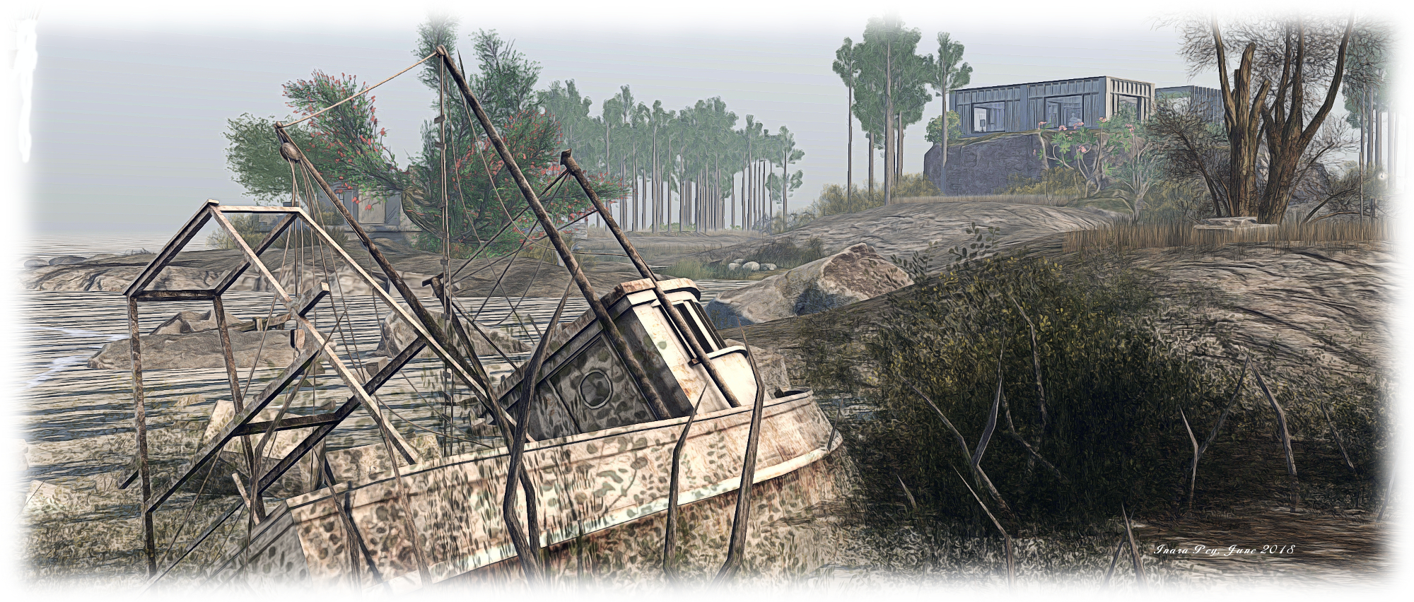
A small headland extends from this island, pushing out into the waters of the region’s channels. A great stone bridge once spanned the channel between this southern island and the one to the north-west, where a knuckle of rock rises from the surrounding land. However, some disaster long ago broke the back of the bridge, leaving it a ruin on either side of the channel. Instead, the western island can be reached via a switchback path winding down to the foot of the blunt headland to where a pier sits, two sailing boats moored against it, the wreck of a fishing boat close by.

The boathouse behind the pier offers a cosy place to sit – one of several across the region – while on the side of it opposite to the wreck of the fishing boat lies a small wooden bridge. A little awkward to reach, it nevertheless provides access to the western island by way of a low table of rock and grass sitting mid-channel.

Spirit of Sun; Inara Pey, March 2018, on FlickrSpirit of Sun

The knuckle of rock against which the ruined bridge is anchored is one of two plateaus on this island, the second being home to an old lighthouse. A dirt track runs south-to-north along the island, passing under a rocky arch between these two plateaus, pointing the way to a third at the northern end of the island. This home to a broad wooden deck, reached by stairs. A greenhouse converted for use as a summer-house sits close to the foot of the steps, while the deck at the top sits around an old English-style folly. Tables and chairs are placed out across the deck, while the folly itself offers a further comfortable lounge.

Between these highland areas is more to be found – a café sitting in the middle of a small lake, another greenhouse – this one of more traditional design – presenting another cosy snug. Pass under the rocky arch to the southern headland, and you’ll find a camp site complete with a pair of British Land Rovers which look like they are on an outing from Encounter Overland.

Spirit of Sun; Inara Pey, March 2018, on FlickrSpirit of Sun

Across the water to east is the remaining island. Dominated by another massive plateau – one equalling the height of the southern island, leaving a deep gorge between the two – curls around the eastern coastline of the  island to form a broad ridge descending down to the lowlands. Six houses sit atop this plateau and ridge, spaced along the track that winds its way along both.  As these appear to be private residencies, discretion when walking by them is recommended.

The lower part of the island offers a broad greensward of grass running out to a narrow ribbon of a beach. This is the home of another camp site, this one apparently of a Romany origin, watched over by a stone windmill oddly built against the rocky face of the plateau. Further around this southern headland lies another summer-house and further secluded spot couples can enjoy.

Spirit of Sun; Inara Pey, March 2018, on FlickrSpirit of Sun

Spirit of Sun is a richly engaging place to explore – albeit one with a limited time with which people can appreciate it. With this latter point in mind, I’d suggest anyone wanting to visit do so sooner rather than later, least public access is restricted once more. And don’t forget to submit photos to the region’s Flickr group. Congrats to Justine Lemton, Doutz (Rianna Joubert), and the rest of the group for their creation.

SLurl Details