A return to La Clef des Champs

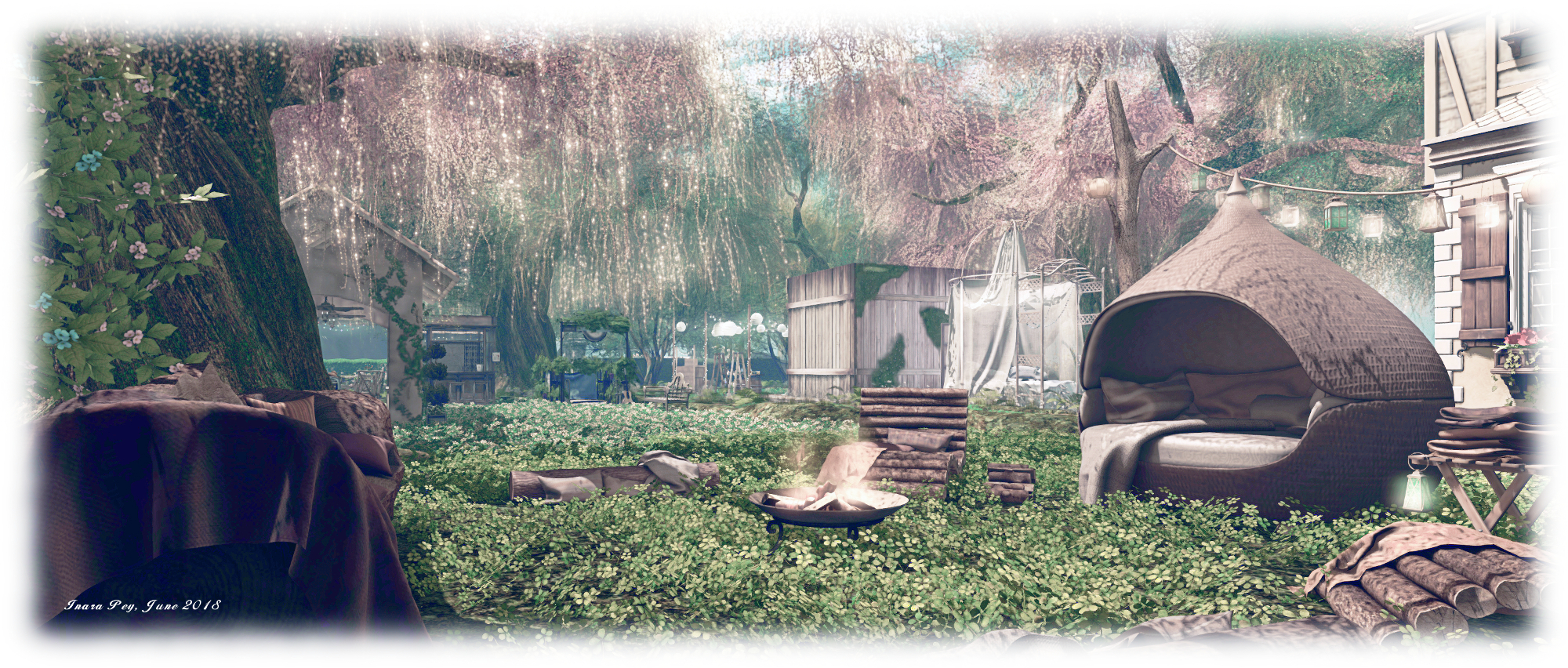
La Clef des Champs; Inara Pey, June 2018, on FlickrLa Clef des Champs – click any image for full size

Update April 2025: Chef des Champs has closed. SLurls have therefore been removed from this article.

It is a little over a month since I wrote about La Clef des Champs (literally, “the key fields”), a setting which at that time took up a homestead region, which had opened in April 2018 (see here for more).

Since then, there has been something of a change for La Clef des Champs, as Miro Collas  pointed out to me via Twitter recently, it having been moved and downsized to a quarter region parcel within a Full region (and given the changes between my two recent visits, it may still be in the process of being built-out). So, has anything been lost with the move? Overall, I’d say “no”.

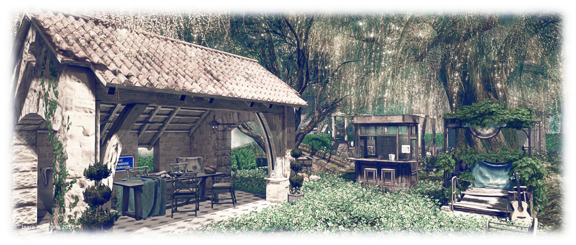
La Clef des Champs; Inara Pey, June 2018, on FlickrLa Clef des Champs

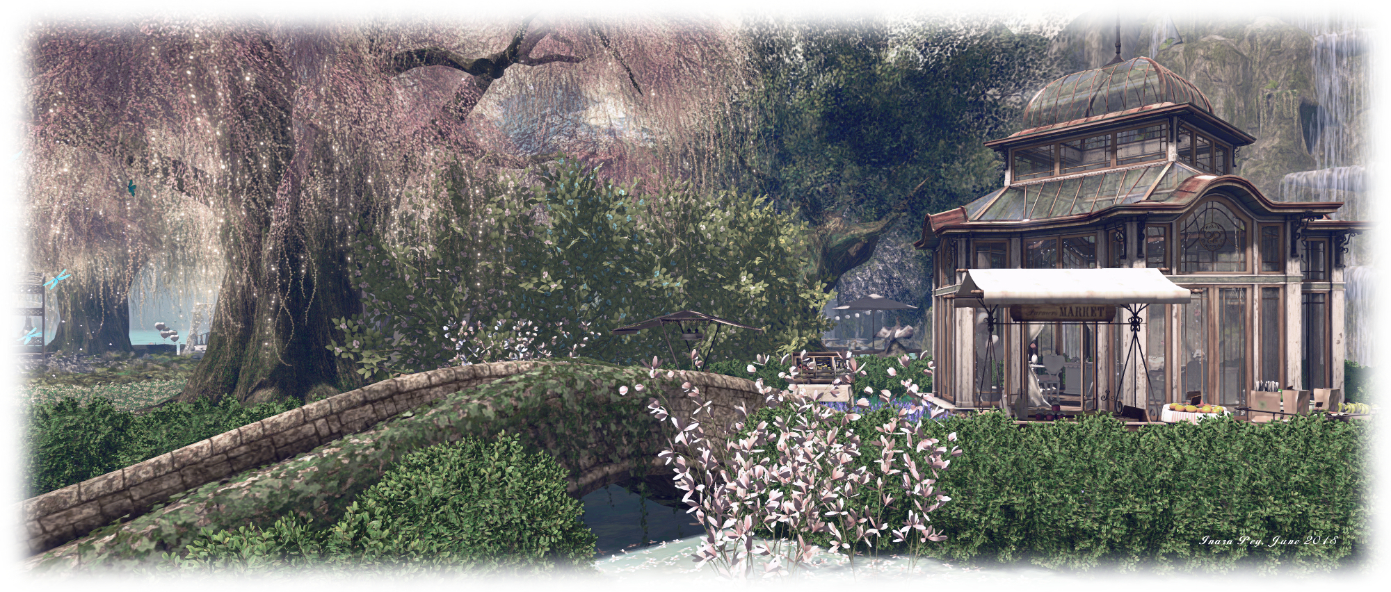
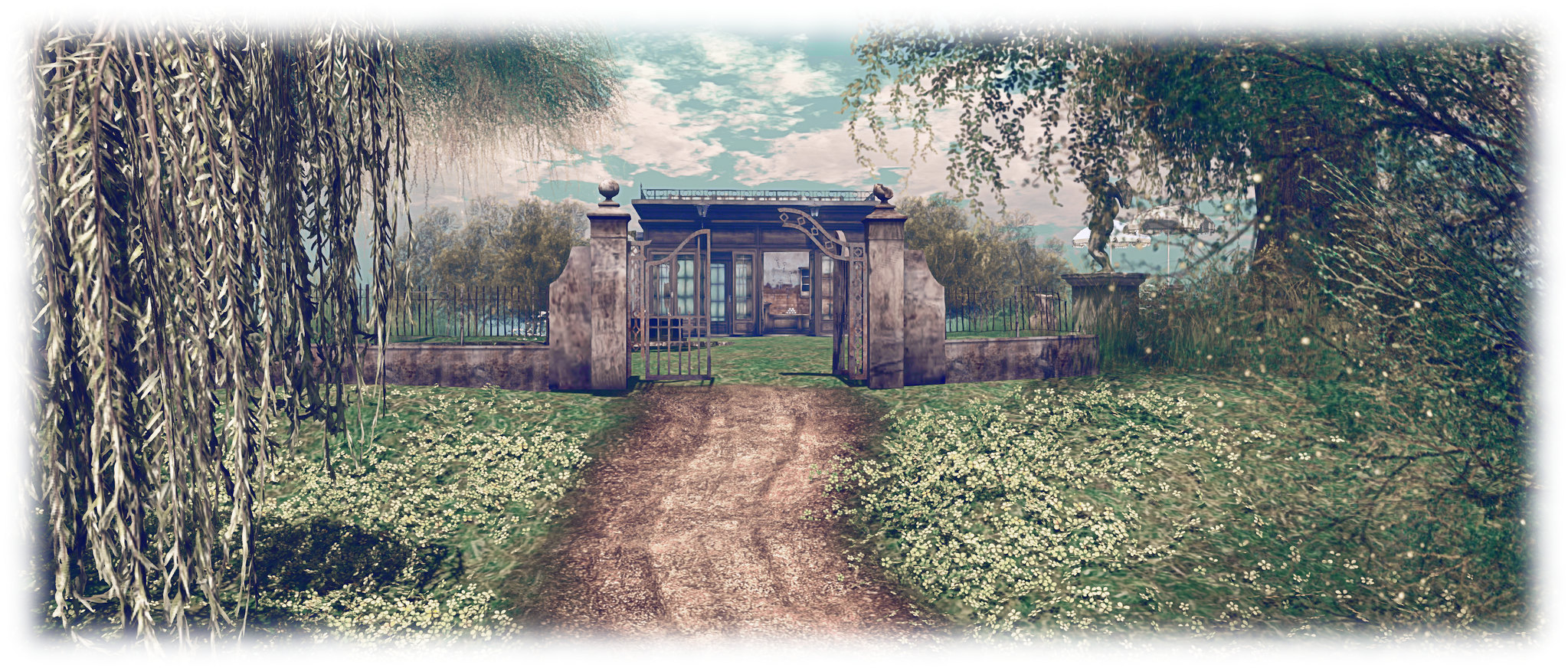
As with the original, a visit starts up on a hill overlooking open waters on two sides, and which is topped by a modest café with indoor and outdoor seating. From here, across the grass, a gated track leads the way down the hillside and inland. This runs past a small field and barn to where a fork points the way towards a new feature for the landscape: a large greenhouse sitting on a rugged shoulder of land occupying the inland corner of the parcel. Offering a second commanding view over the parcel, the greenhouse is presented as a summer-house style hideaway with music available from a grand piano and a gramophone, and space to sit or work as one desires.

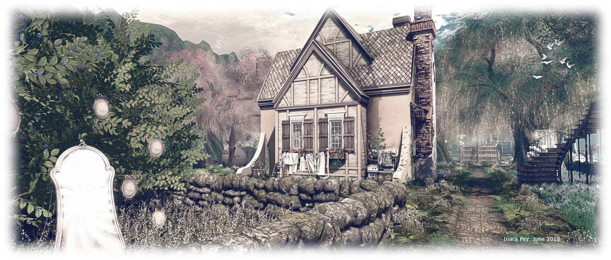
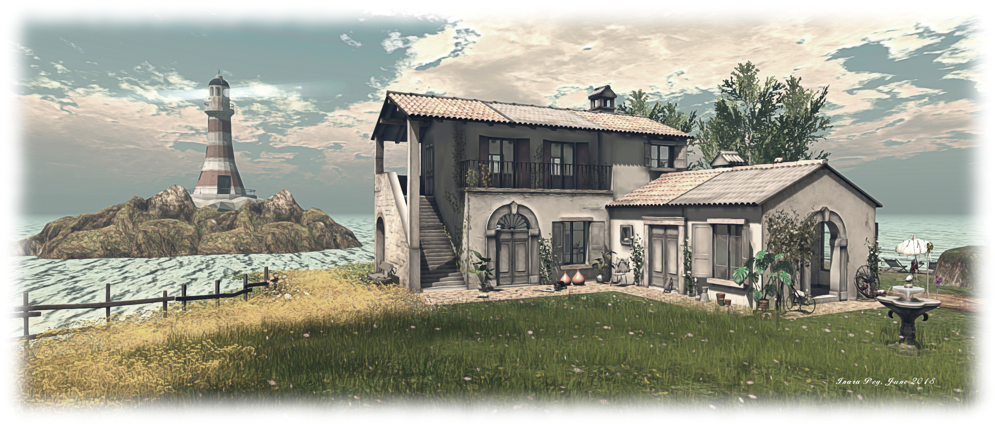
Beyond the fork for the greenhouse, the track turns back seaward and curves past a brick-built barn to arrive at the Tuscan style house that was also present in the Homestead build. This looks out over the water to the east where the windmill still sits just offshore –  albeit on a slightly smaller island -,  and to the north, where a second small island sits, home to a lighthouse.

La Clef des Champs; Inara Pey, June 2018, on FlickrLa Clef des Champs

An old warehouse completes the set of buildings to be found here. This is the place where  – again as with the original design – more adult pursuits can be shared, if desired.

The use of just a quarter region parcel means that this iteration of La Clef des Champs does, for those who visited the original, feel smaller. However, I would suggest it has, lost little of the ambience it enjoyed when occupying a full-sized region space. for those who have not previously visited La Clef des Champs will still find this smaller version a pleasing excursion, with plenty of opportunities still for photography.
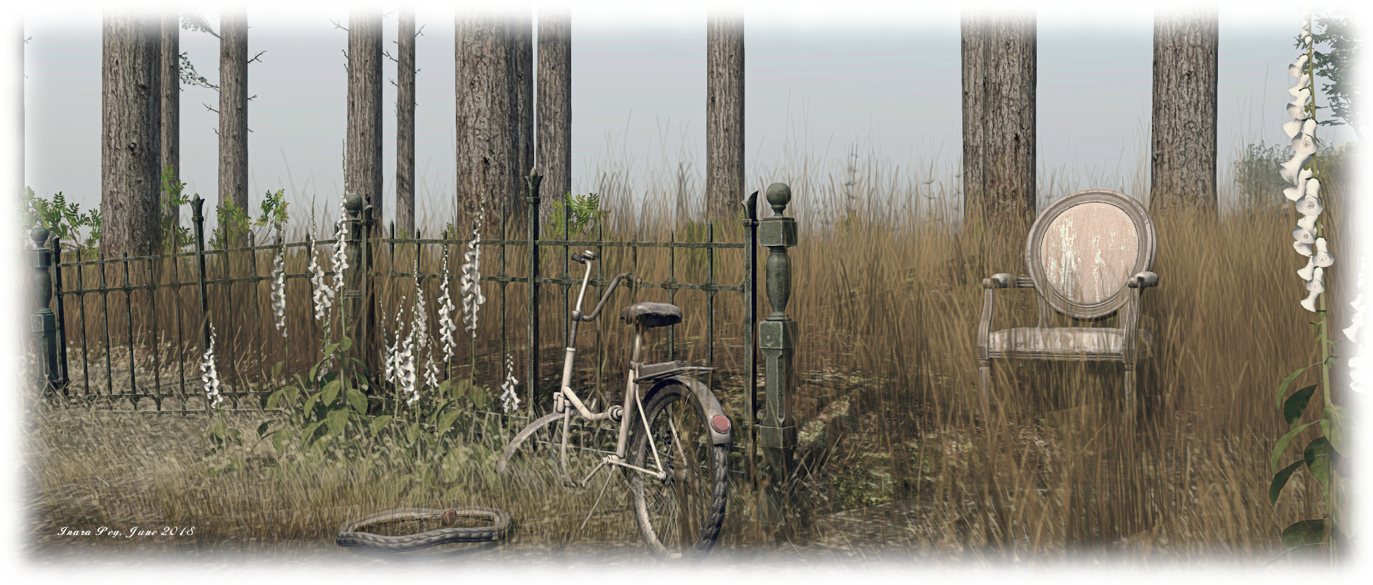
La Clef des Champs; Inara Pey, June 2018, on FlickrLa Clef des Champs
 

A touch of Live and Let Die in Second Life

San Monique; Inara Pey, June 2018, on FlickrSan Monique – click any image for full size

Update: San Monique has closed. SLurls have therefore been removed from this article.

“I’m not really a big Bond fan, just that film and the locations in it,” Zakk Lusch informed me ahead of the official opening of San Monique, his latest region design, developed with They Wray DoneAway (They Ellisson). The region takes as its inspiration the first Roger Moore film in the Bond franchise, Live And Let Die (1973), to which Zakk alludes in his comment. He continues, “I just thought I would be fun to try a create something like this, as Bayou type region can be a challenge to find stuff to use. There are loads of little fun things as you look around.”

These little things include Zakk and They themselves who, for the opening, had adopted looks taken from the film – think Baron Samedi and you’ll get the picture – but there are more to be found when exploring this homestead region. However, it would be a mistake to consider it a representation of any single aspect of the film. As noted, the region is very much inspired by Live and Let Die, and thus is an amalgam of interpretations of settings, themes and ideas from the film.

San Monique; Inara Pey, June 2018, on FlickrSan Monique

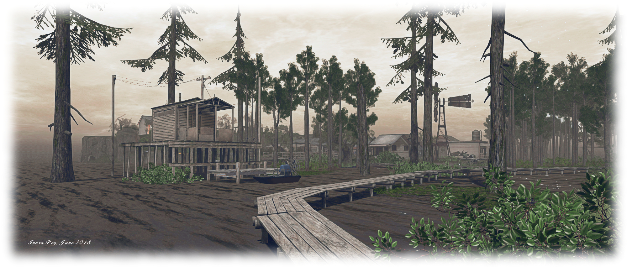
An example of this is the region’s name and look. While the name may come from the fictional the Caribbean island-nation of the film, the overall look is very much that of the bayou region of Louisiana, – and the Bayou Des Allemands featured in a boat chase during the film.

Visits begin in the south, where one of only two upland area rise from the waters of the region. A flat-topped table of rock, this is home to the welcome area and landing point, a paved footpath and steps leading down to the lowlands of the region. It is along this path the another motif for the film can be found in the form of the fortune teller’s booth, echoing Solitaire’s harnessing of the Obeah to discern the future.

The second upland area is a small knuckle of a hill on which is perched a small wooden chapel. Within and around this are further echoes of the film – notably the coffin and the snakes and the Samedi-like skull and top hat sitting on a grave.

San Monique; Inara Pey, June 2018, on FlickrSan Monique

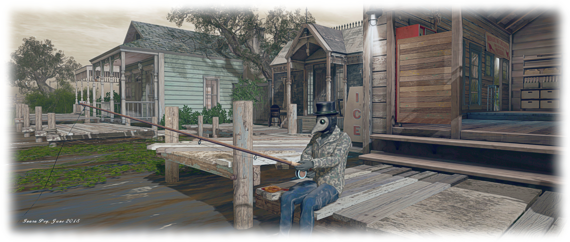
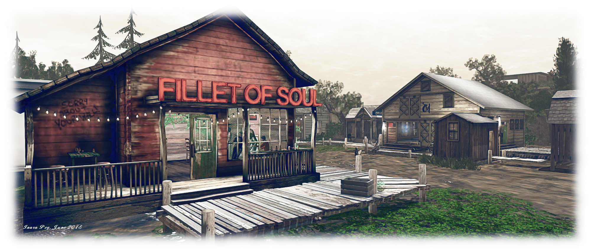
The rest of the region is given over to a bayou-style hamlet: wooden buildings fronted by board walks built out over the water. Here again are more references to the film – a tarot reader’s sign, the mask worn by the chap fishing off of one of the board walks, and – if you walk out and around the buildings – a small club taking its name from Mr. Big’s chain of eateries – the Fillet of Soul.

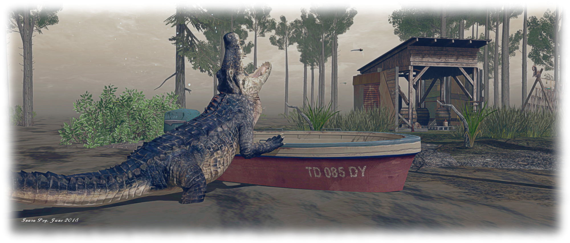
Given this is a bayou setting, the presence of crocodiles shouldn’t be that surprising. But even these echo the film – remember the crocodile farm on the island of San Monique? Thus even the reptiles offer a cinematic link to Bond’s 1973 adventures.

San Monique; Inara Pey, June 2018, on FlickrSan Monique

That said, there are some motifs from Live And Let Die that might be considered “missing” – no poppy fields, for example. But again, this is a Bayou setting, and not a reproduction of San Monique. So instead, it offers more a bayou look and feel: broad walks wind over the shallow waters, crocodiles lurk, an airboat awaits its owner – there’s even an illicit still hidden in a shed out on an island shoal among the bayou’s trees.

All of this makes San Monique a visit of a different kind; those who enjoy Roger Moore’s first outing as the eponymous British secret agent will likely enjoy discovering all the little nods to the film. Those who enjoy visiting, exploring and photographing regions in Second Life will find San Monique an engaging visit – and photos taken in the region can be submitted to its associated Flickr group.

San Monique; Inara Pey, June 2018, on FlickrSan Monique

As always, should you enjoy a visit, please consider making a donation at the landing point to help with the region’s continued presence. I’d like to extend thanks from Caitlyn and I to Zakk and They for the invitation to visit San Monique.

SLurl Details

  • San Monique (Tumbleweed, rated: Moderate)

Appreciating the great outdoors in Second Life

Zion National Park; Inara Pey, June 2018, on FlickrZion National Park – click any image for full size

Update: Zion National Park has closed. SLurls have therefore been removed from this article.

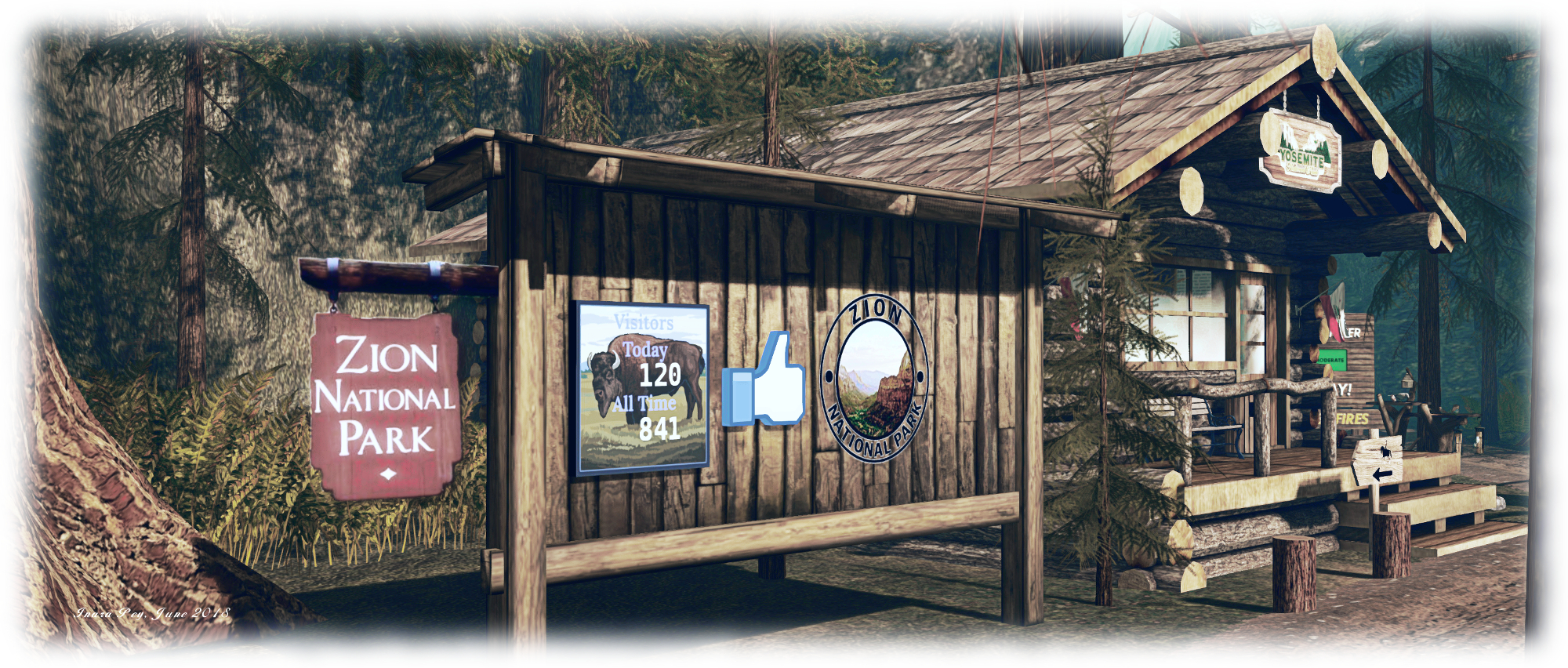
Zion National Park is an ambitious, two-region stretch of parkland designed by Judge Firecaster. It offers a look and feel of some of the great national parks of north America – most notably Yosemite, given the reproduction of the Mariposa Grove – and presents a lot to see and explore.

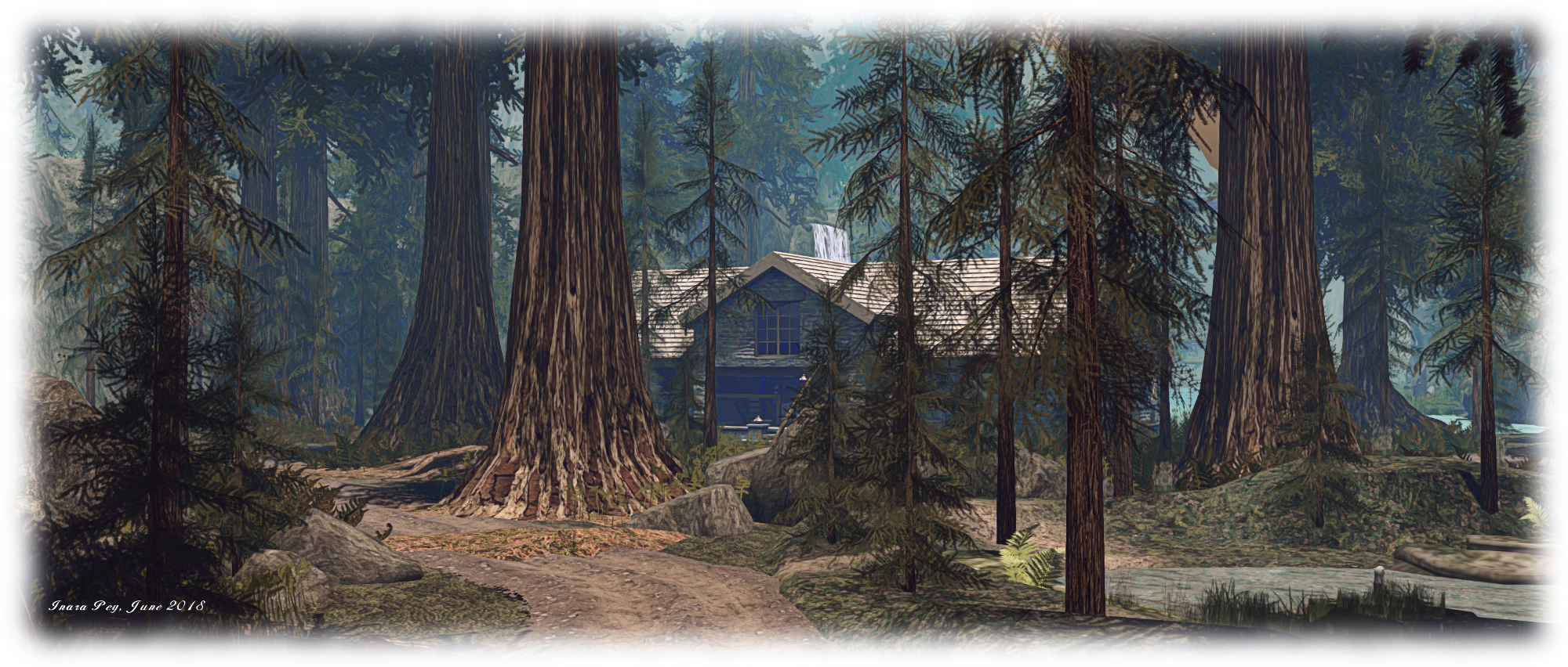
A visit starts on the north side of one of the two regions making up the park. This features a park lodge and a camping ground (parcels available for rent), looking to the north over open water and a distant range of mountains. A dirt track runs between the lodge and camp site, pointing west towards a narrow cleft between high shoulders of rock, and east to run almost parallel to the water’s edge and between the massive trunks of huge Sequoia-like conifers.

Zion National Park; Inara Pey, June 2018, on FlickrZion National Park

Which route you take is entirely up to you – but if you have a wearable horse, you might want to add that and take to riding while exploring (a riding horse rezzing system would be a nice addition to the park). The route west will take you through the rocky cleft to where another body of water await, overlooked on both sides by a rugged landscape that, to the south, climbs towards distant green peaks.

Here the track swings by a small lodge were visitors can take a log ride around the lake – just wait for a boat to automatically rez ready to depart as one returns and de-rezzes. The ride will take you east along the lake, under the tall trestles of a cliff-top bridge spanning the water, and back around to the west before returning you to the little lodge. Or, if you prefer, you can follow the track to where it climbs up into the hills, switching back on itself as it does so, to arrive at a high café abuts the steeper slopes of the (off-sim) mountains).

Zion National Park; Inara Pey, June 2018, on FlickrZion National Park

If you opt to go east from the landing point, the track will take you by twist and turn, passing the single permanent private residence to be found here, to where it again climbs up into the rocks and hills of the park. This leads the way past cliff-edge seating areas overlooking waterfalls, paths to hidden tunnels, and a climb up to a peak where a hang glider can be rezzed and you can take to the air to appreciate the park from overhead.

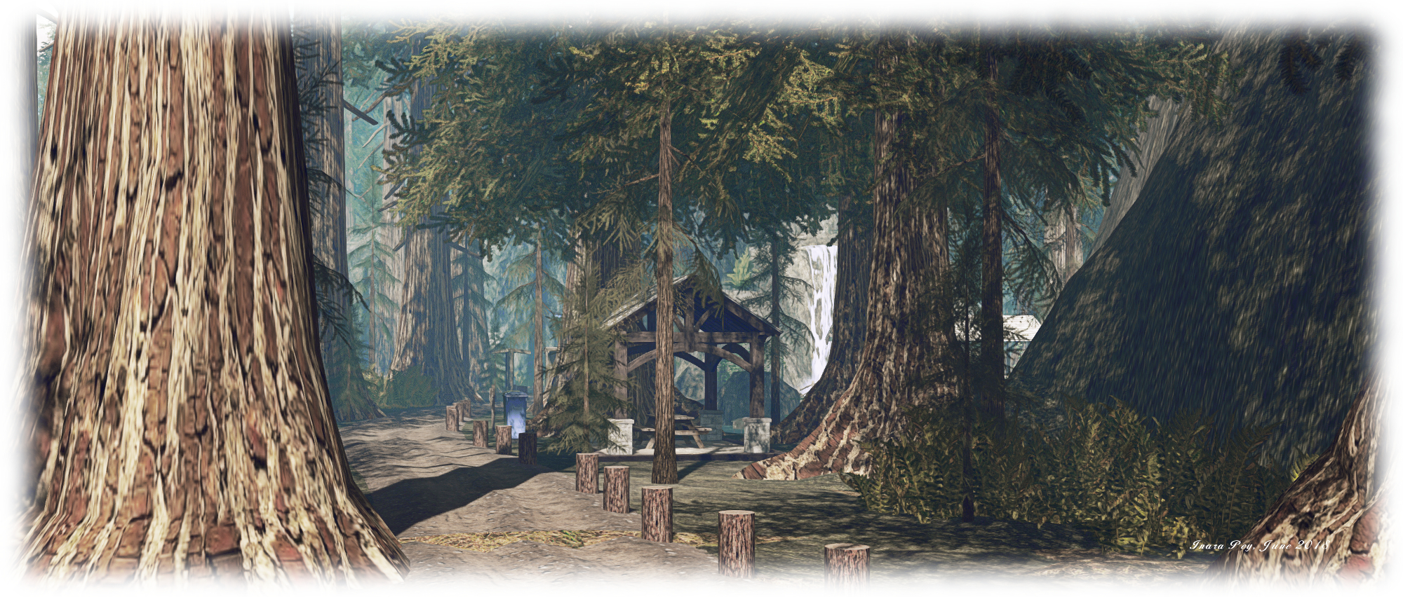
The high paths rise and fall, twist and turn, cross canyons and water by way of bridges, descend to the edge of bubbling streams  and pass through mine-like tunnels to link up with one another, allowing visitors to fully circumnavigate the park, often just a few short steps from where the regions end and the off-sim mountains begin – a relatively seamless join that gives Zion Park a huge amount of additional depth, vastly increasing its national park like feel.

Zion National Park; Inara Pey, June 2018, on FlickrZion National Park

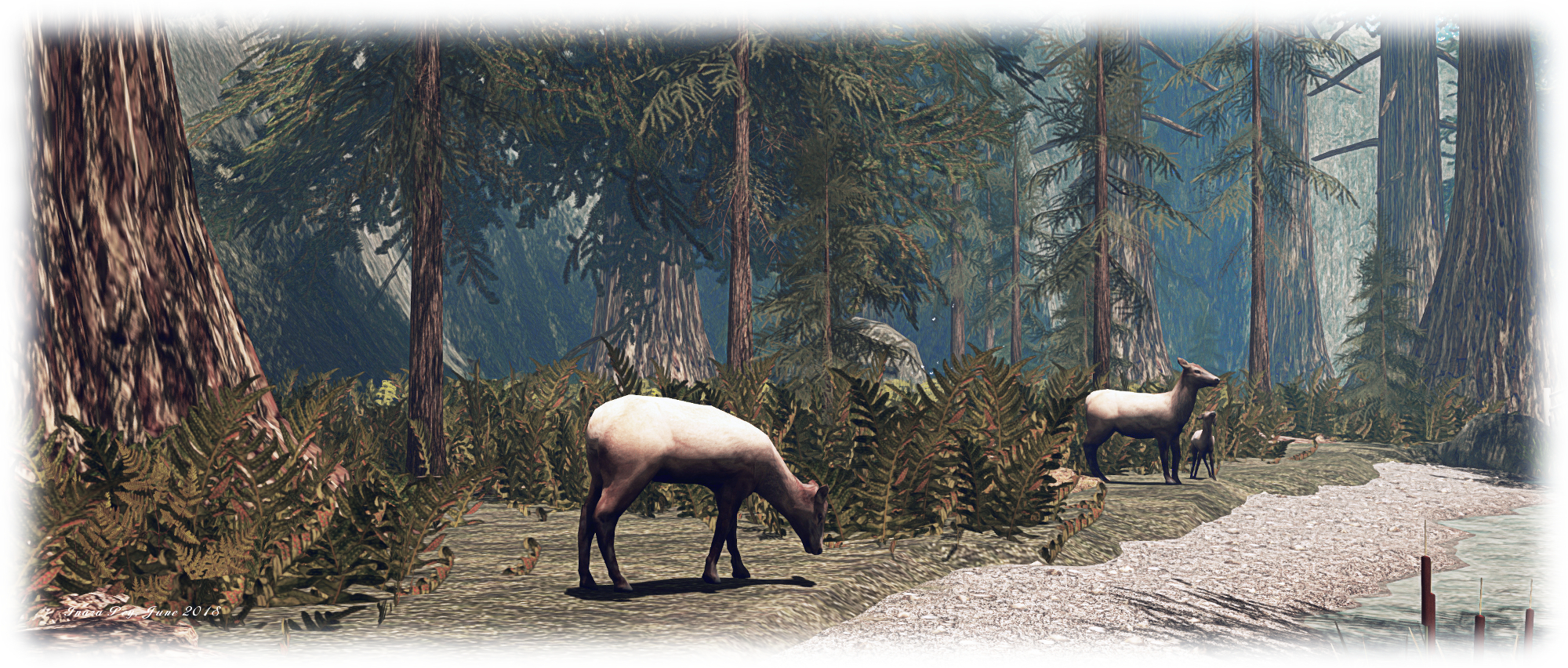
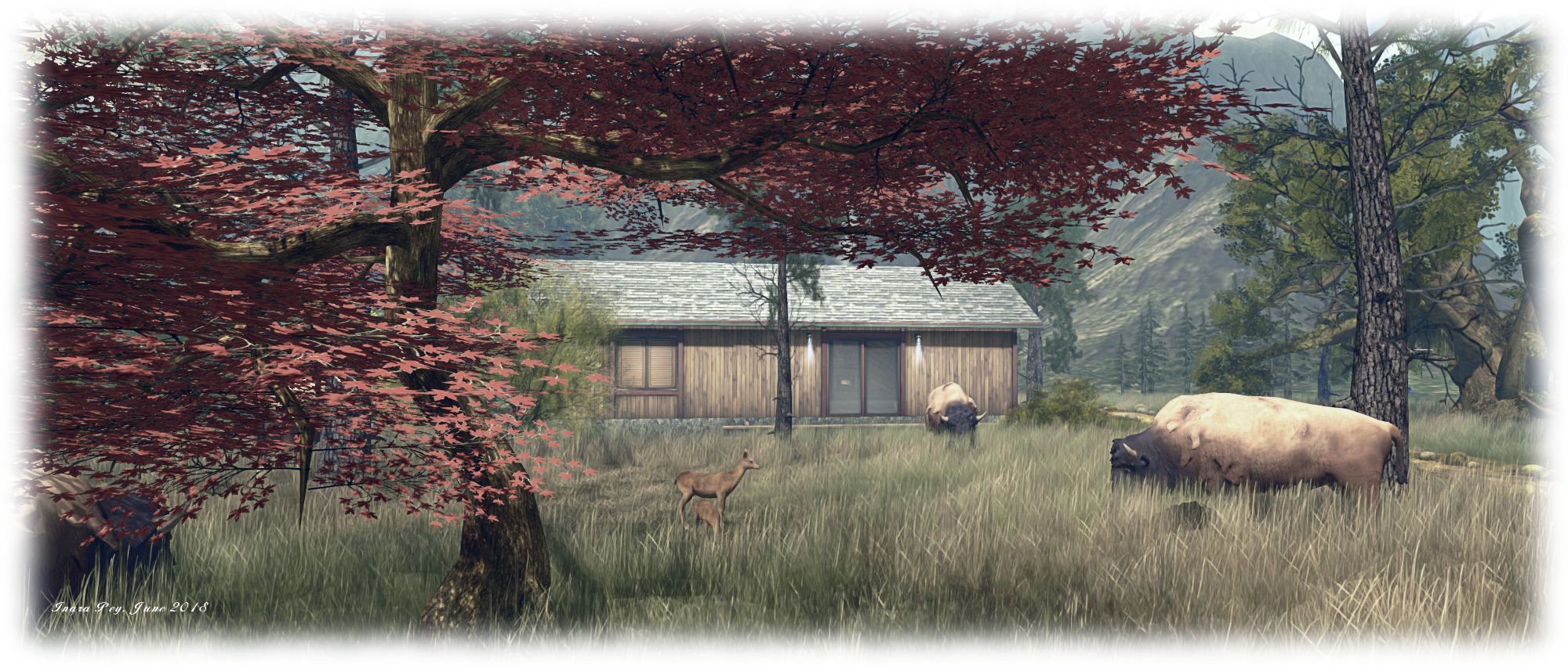
Wild life is to be found here in abundance – the trees are rich in bird song, bears grumble and roam,raccoons raid litter bins and get up to other mischief, wolves bask in the sunlight and elk graze or drink cautiously from the banks of streams. Going by the chap out on the waters of the lake and the cormorants on the shoreline, fish are in abundance in the waters here as well. There could perhaps be a few more places to sit and enjoy more of the many views to be found within the regions, but this is a minor point; as noted, if you do have a wearable horse to ride, this is a place where you can put it to good use and appreciate the views.

All-in all, Zion Park is a rich environment which demonstrates just how much can be done when working with Homestead regions. The default Windlight settings perhaps don’t do the landscaping full justice – I’d certainly recommend playing around with any you have installed on your viewer to find something more suitable and warm. When exploring, keep an eye out for the information boards, and the way down to the subterranean lake. The former are a worthwhile read for those unfamiliar with American national park heritage, and the latter takes a little finding – but a visit cannot be said to be complete until you do 😉 .

Zion National Park; Inara Pey, June 2018, on FlickrZion National Park

Should you enjoy your visit to Zion National Park, please consider a donation at the lodge alongside the landing point to help ensure the regions remain for future visitors to enjoy – and for additional visits of your own as the mood takes you!

SLurl Details

  • Zion National Park (Fhloston and Zion, both rated: Moderate)

A visit to a mystical kingdom in Second Life

Eri-Ador; Inara Pey, June 2018, on FlickrEri-Ador – click any image for full size

In Middle Earth, Eriador lies between the Blue Mountains (Ered Luin – or Erid Lindon) to the west and the Misty Mountains (Ered Hithui or Hithaeglir) to the east. It is the land within which – among other places – the Grey Havens, The Shire and Rivendell (Imladris) might be found.

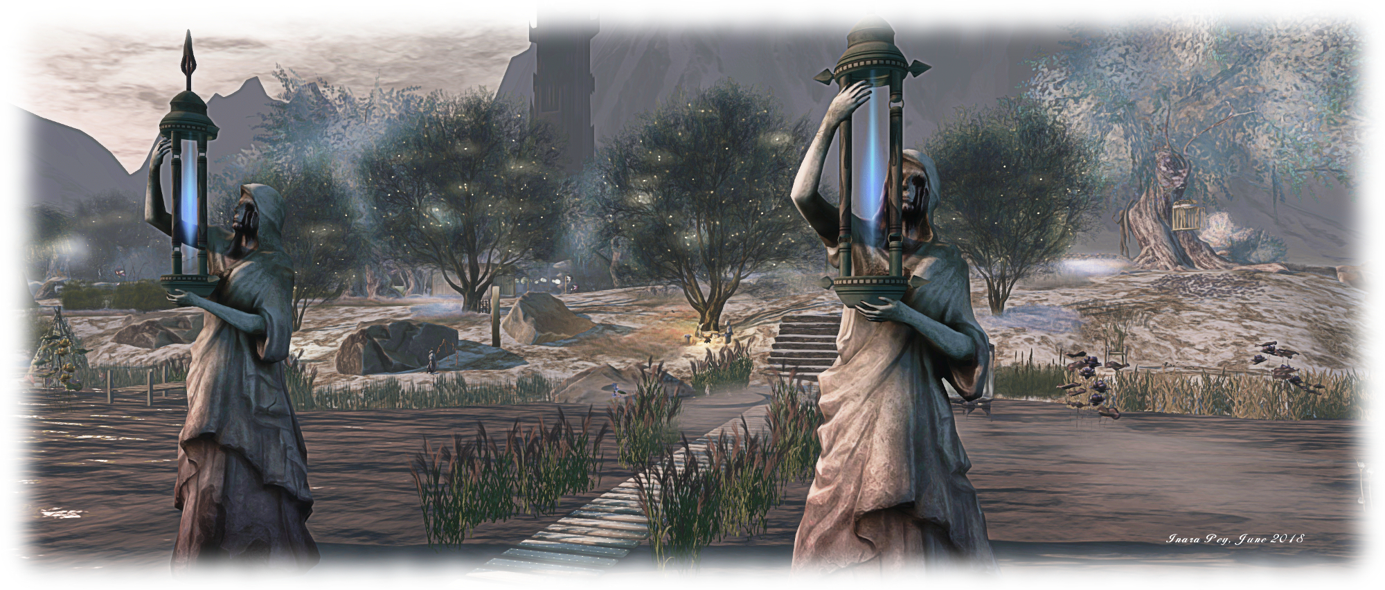
Within Second Life Eri-Ador lies with mountains to the west and to the east (and also, admittedly, to the north and south). While carrying certain echoes of Tolkien’s mythical realm of Middle Earth – within it you will find elven halls and tree houses, Ents and Orcs and even the Dark Tower itself, surmounted by the Eye – it is not intended to be a facsimile of the world made famous through the likes of The Hobbit, and The Lord of the Rings. Rather, it is a region that draws a degree of inspiration from Tolkien and from Second Life itself to present a place edged in mysticism and with a rich artistic vein.

Eri-Ador; Inara Pey, June 2018, on FlickrEri-Ador

The work of Tom Mcgregor (mastersinn) and his SL partner Misty Mcgregor (MistieDream),  Eri-Ador is difficult to really quantify; it is a place which has to be experienced, rather than described. There is so much to see and appreciate.

In the broadest terms, the region is split into two – the west side largely sitting on shallow water, the east a rugged, snow-dusted stretch of land. A visit beings on the western edge of the region, within a gazebo of distinctly elven design. From here, and lying under the guarding branches of arched trees, a grassy avenue sits on the water, pointing the way east to the rise of dry land.

Eri-Ador; Inara Pey, June 2018, on FlickrEri-Ador

To the right and left of this avenue, the waters offer the setting for a garden of sculptures from the likes of Mistero Hifeng, Sharni Lubomir (Sharni Azalee), Groll (Groll Greggan), Kadaj Yoshikawa, Shepherd (BF2 Shepherd), Paco Pooley and CioTToLiNa Xue to name just some. These are displayed either side of the east-pointing avenue, those to the south caught beneath a torrential downpour, about which a line of street lamps guarding a south-pointing board walk can do little: the umbrellas that hold aloft little more than handles and spines…

Travel south through the rains and you’ll eventually come to the elven hall. Imladris it may not be, but it sits, Rivendell like within the shadows of mountains, echoing the Last Homely House and carrying inside it, its own sense of mystery and magic – or perhaps modern elven science …

Eri-Ador; Inara Pey, June 2018, on FlickrEri-Ador

The board walk also branches to the east before reaching the elven hall and, like the grass path under the arched trees pointing eastwards from the landing point, eventually makes landfall. Here, sitting atop a low snow-covered shoulder of rock sits Barad-dûr, a dark finger of a tower, its nail the burning all-seeing eye. Before the tower floats a gaunt wraith, hands cupping fireballs – one of the Nine, perhaps?

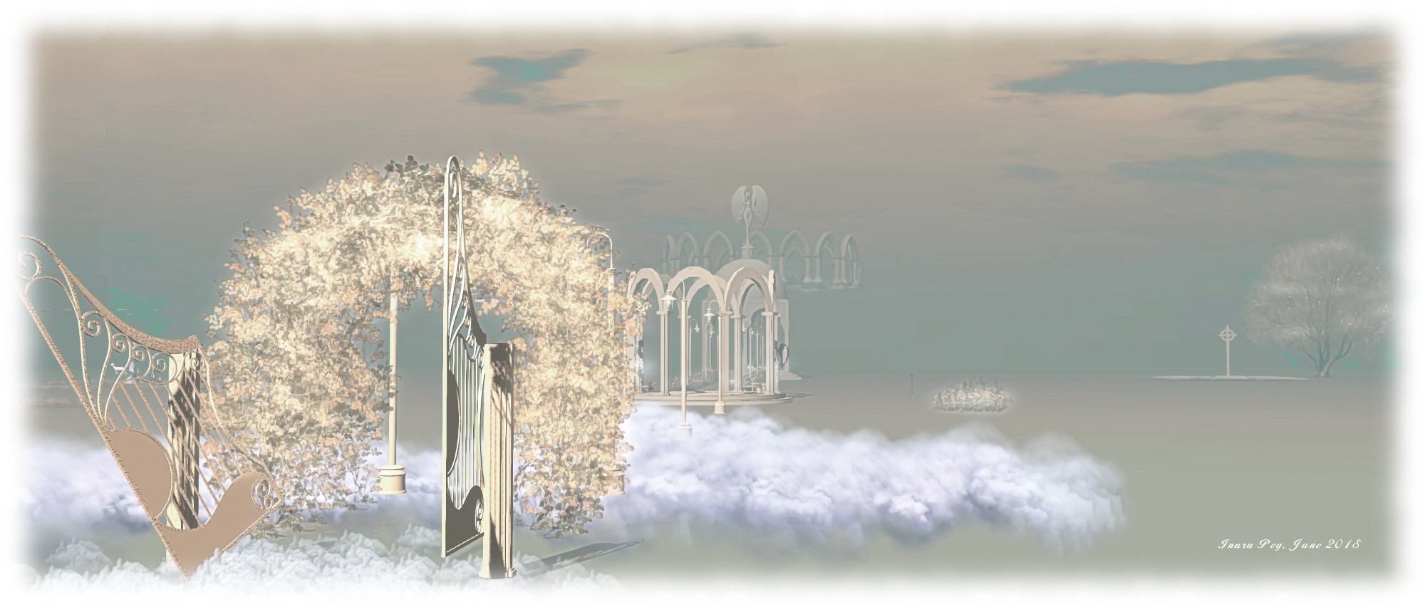
Like the watery half of the region, there is much to discover on the rocky landscape either side of the Dark Tower, making careful exploration a must. There is, for example, a harpsichord and harp to be found with a small music stage close by; while elsewhere a balloon-suspended bridge connects a pointed escarpment to a platform floating upon clouds, while a stone stairway climbs even higher into the heavens, its passage marked by more of Mistro’s figures.

Eri-Ador; Inara Pey, June 2018, on FlickrEri-Ador – “Heaven”

All this still only touches on the richness to be found within Eri Ador – from the aforementioned Ents in their confrontation with an Orc through touches of whimsy with bearded dwarves. For those wishing to sit and admire the art and the setting, their are numerous places to sit – and even to participate in the music of the setting. And al of that is without mentioning the two further points of exploration: Heaven and riding area.

The latter are both located overhead, and reached via the teleport disc at the landing point. The riding area in particular offers a very different environment than found at ground level, giving visitors a touch of the Old Western frontier.  This is also not without its sense of sitting outside of time: it’s not every day you travel through a frontier town with saloon, stagecoach and gun slinger to arrive at a farm with a pick-up truck and tractor … I will confess, neither Caitlyn or I were entirely clear on the “riding” aspect of this level; neither of us were successful in finding any kind of horse rezzer – which didn’t stop us from exploring!

Eri-Ador; Inara Pey, June 2018, on FlickrEri-Ador – “Riding Area”

All-in-all, Eri-Ador is a fascinating and unique region; very different from those of recent visits, and definitely a place to visit and explore. I would note that the use of mesh rain and similar effects can have an impact on viewer performance, so some tweaking of viewer preferences might be in order – but this shouldn’t be used as a reason not to make a visit.

SLurl Details

  • Eri Ador (Mystical Kingdom, rated: Moderate)

With thanks to Shakespeare for the LM ♥ .

Eclipse: more than a little place in Second Life

Eclipse Tiny Place; Inara Pey, June 2018, on FlickrEclipse Tiny Place – click any image for full size

Update: Eclipse Tiny Place has closed. SLurls have therefore been removed from this article.

It’s the kind of place brought to mind when visiting Eclipse Tiny Place, a superbly designed 1/6 of a full region offered for public consumption by Lagoa. Despite its size – under 11,000 square metres, this is a parcel that offers almost something of everything for people to enjoy.

Occupying the north-east corner of the region on which it sits, the parcel is open to the sea on two sides, looking over a broad ribbon of sand arcing around the parcel and onto open waters. The remaining two sides of the land are backed by high cliffs which help create the feeling that this is a location isolated from the rest of the world. Water tumbles from the corner meeting-point of these two rocky walls, cascading in steps into a pool of clear blue water, a broad swathe of which runs north to slip under a rocky arc to the sea.

Eclipse Tiny Place; Inara Pey, June 2018, on FlickrEclipse Tiny Place

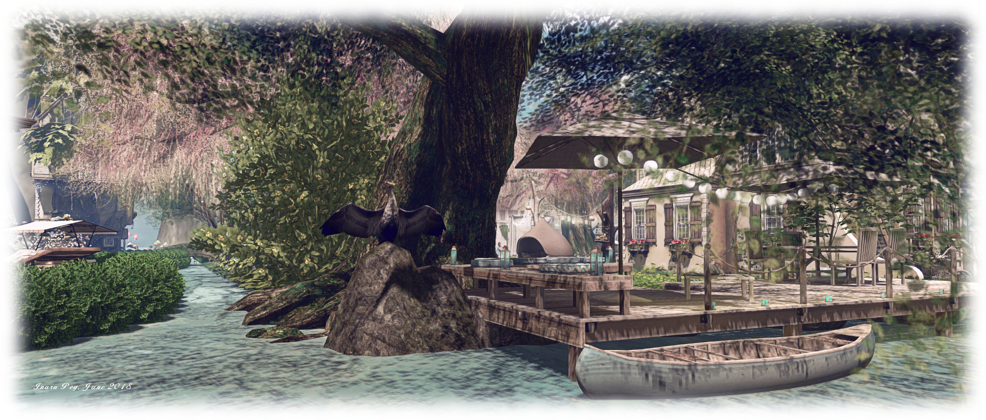
Two islands sit within this channel, each ringed by hedgerows. One is circular and home to an orangery, the other an oval on which sits a tree house – in the most literal sense of the word, the front door being in the trunk of the tree itself. Bridges link these islands one to another and with the rest of the parcel, providing a means for explorers to reach all parts of the parcel that may interest them.

Set out across the rest of the land are as series of garden areas laid out around a house. Paths segregate the various parts of the gardens and offer routes to a pavilion sitting at the southern end of the parcel, separated from the beach by tiered walls of floors.

Eclipse Tiny Place; Inara Pey, June 2018, on FlickrEclipse Tiny Place

To try to describe this parcel in all its beauty would be an understatement so much has been packed into it – and not just haphazardly; the design and placement of gardens, trees, seating areas, event spaces, buildings, has all been carried out almost flawlessly, making Eclipse Tiny Place the kind of place where visitors genuinely want to spend time. To help with this, throughout the parcel there are many places to sit and enjoy the setting.

Art is also very much in evidence here, from the water-like garden of the tree house to the ruler-straight hedgerows separating the gardens from the sands of the northern beach or the dragons guarding the pavilion mentioned earlier.

Eclipse Tiny Place; Inara Pey, June 2018, on FlickrEclipse Tiny Place

There are one or two little incongruities to be found: there is no direct path to the beach; instead, visitors have to scramble through hedgerows or climb over walls to reach the sand and the places people might as sit scattered along it. The local waterfowl are also perhaps on the large size 🙂 . A little more depth might also be added through the addition of an ambient sound scape. However, these are minor points.

Even without ambient sounds, there is a depth to Eclipse Tiny Place that really is astonishing. It is another tour de force of what can be done within a relatively small space (although admittedly, the full region on which Eclipse Tiny Place sits does make use of the full 30K LI available to private regions). As such, a visit and spending time exploring is highly recommended.

Eclipse Tiny Place; Inara Pey, June 2018, on FlickrEclipse Tiny Place

When visiting, don’t miss the little island floating overhead and the hot air balloon sitting offshore. And should you appreciate your time spent within the parcel, do please consider making a donation towards its upkeep and availability through one of the donation points somewhat cleverly described as food within the gardens and buildings.  And, for those who take photos of their visit, there is also the opportunity to share them via the Eclipse Tiny Place Flickr group.

SLurl Details

  • Eclipse Tiny Place (Lombard Park, rated: Moderate)

A scene to remember in Second Life

Oboeru; Inara Pey, June 2018, on FlickrOboeru – click any image for full size

Update: Oboeru has closed. SLurl in this article have therefore been removed.

A fog horn plaintively calls in the early morning light, the Sun slowly burning through the dawn haze as it rises over the eastern horizon. Cicada song mixes with that of birds greeting the dawn and the stridulation of crickets, while in the background the dull rumble of waves breaking on a shoreline resonates through the air.

These are the sounds that greet visitors to Oboeru (“Remember” or “learn” in Japanese), a Homestead region designed by  Manis Lane and Axiom (Axiomatic Clarity). This is a place that is hauntingly romantic in its near-desolated nature; a low-slung archipelago, the main island of which has been clawed by long fingers of water, its outliers of varying sizes separated from it by channels which can be surprisingly deep.

Oboeru; Inara Pey, June 2018, on FlickrOboeru

This is a place which seems to brood under the early morning half-light; the deep mewling of the foghorn seeming to cloak the islands in an air of sadness. And yet this feeling of loneliness combines with the rugged setting with its patches of scrub grass, scatterings of copses of tall Scots pine and gatherings of shrubs and bushes, to present a place of mystery tinged with that hint of romance.

A single table of rock rises from the centre of the region, giving shape to the north-south “spine” of the main island. The single-storey building crowning this plateau calls to visitors as they arrive at the landing point, sitting on a knuckle of land to the north. Reaching the building takes a little effort – the plateau is pretty much sheer-sided, but a way up onto it can be found on the southern side

Oboeru; Inara Pey, June 2018, on FlickrOboeru

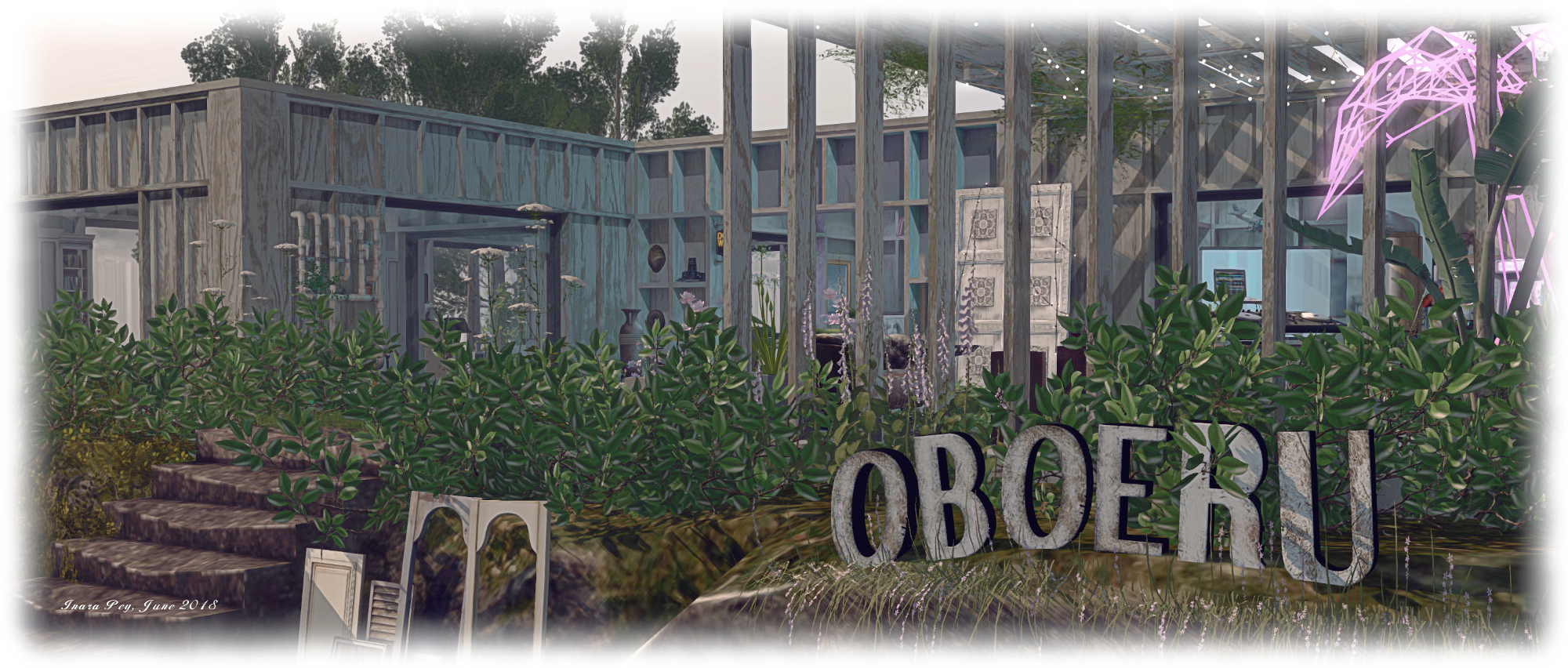
The building has the look and feel of a clubhouse; outside the front of the place is room to enjoy music and perhaps dance, while the rooms inside offer plenty of space to set on large sofas. Each room has its own bric-a-brac to set a cosily untidy setting for people to relax within; music also a theme indoors as well as outside.

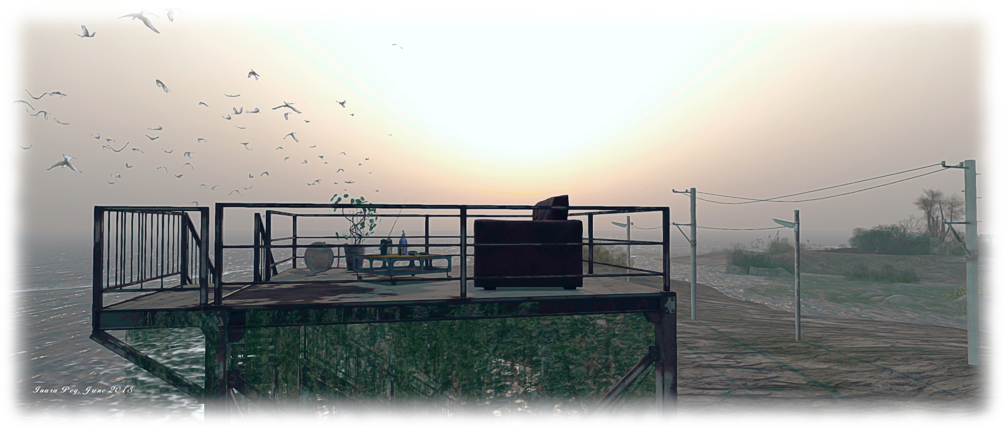
There are a couple of other structures to be found in the region. To the west, and sited to offer a clear view of sunsets over the ocean, stands a tall tower of slowly rusting metal, creepers hanging from its frame as if a giant wave has at some point draped seaweed over it. Metal stairs climb two sides of the tower, offering a way up to its rusted platform, where an old sofa awaits, facing the sea under a canopy of circling gulls.

Oboeru; Inara Pey, June 2018, on FlickrOboeru

The second structure lies to the north-east, on one of the larger outlining islands. This is the ruins of a church or chapel,  windows now without glass, bushes reclaiming the space inside its walls as much as the space around it. Yet it is far from forlorn, and the stairs climbing to the flat roof offer another route up to a place where one can sit and remember or reflect…

There are numerous places to sit scattered over the landscape – from rooftop to tower to chairs amidst flowers. Board walks strike out over water, but sometimes with no direct connection to the land; but be warned, some of the channels the sit within are quite deep, as I’ve noted, so wading out to a board walk might hold a surprise.

Oboeru; Inara Pey, June 2018, on FlickrOboeru

Oboeru is an atypical region in its styling and approach. There is – as I’ve noted – something hauntingly beautiful about the entire region – the design, the windlight, the aural sound scape. Not a region to be missed.

SLurl Details

  • Oboeru (Landscape Dialog, rated: Moderate)

With thanks to Miro Colas for the pointer to Oboeru