Looking into Devin’s Eye in Second Life

Devin's Eye; Inara Pey, June 2018, on FlickrDevin’s Eye – click any image for full size

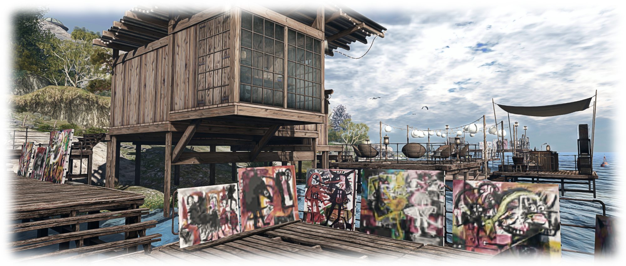
Miro Colas recently tweeted me with a suggestion that Caitlyn and I pay a visit to Devin’s Eye, a Homestead region which recently opened in Second Life. As the name was familiar to me, we hopped over to take a look, confirming in the process that Devin’s Eye is the work of Roy Mildor and Ally Mildor (Ally Daysleeper), and represents something of a continuation of their work as we first came across it in Devin, back in January 2017, offering as a does the opportunity to visit two sim-wide locations  – one on the ground, and the other in the air. (As a point of note, Devin still exists, but appears now to be under private ownership.)

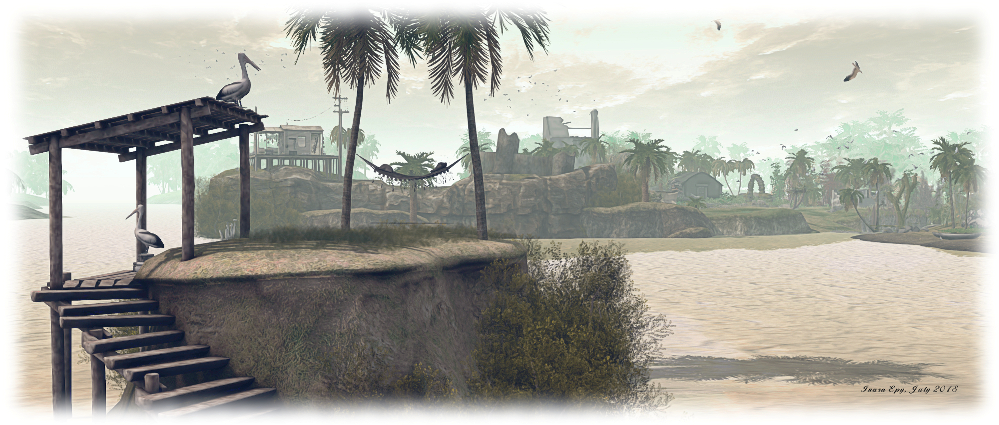
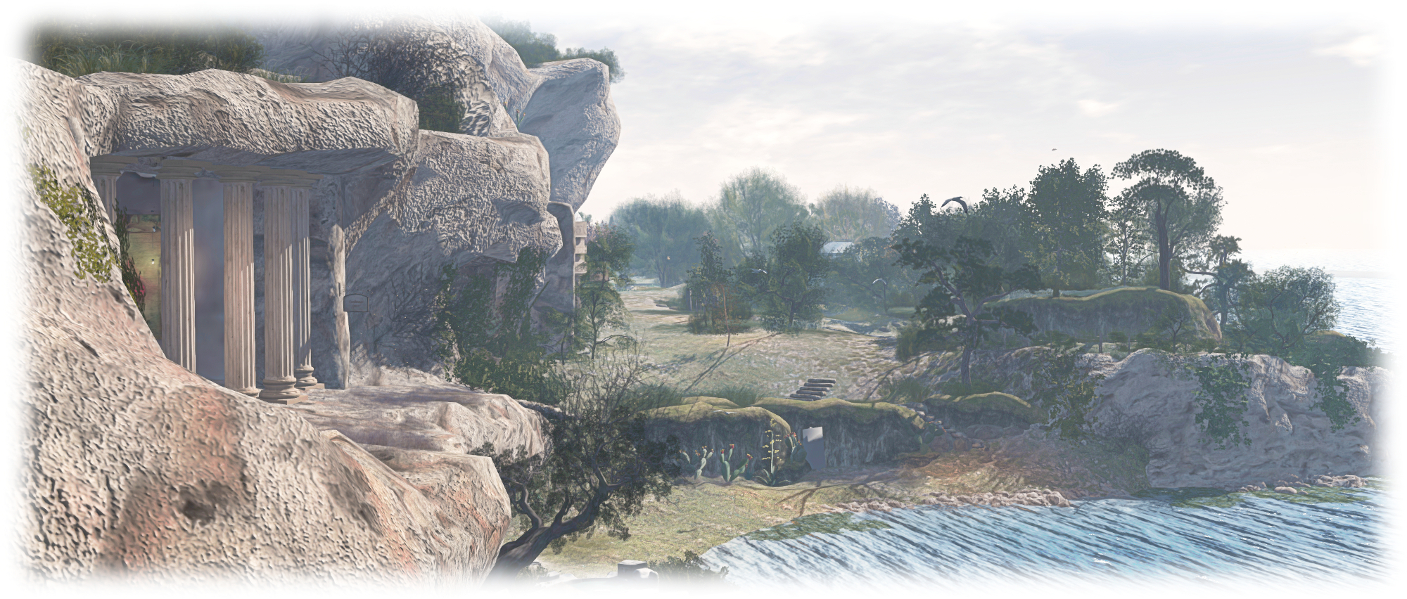
The ground level location offer a rugged island setting with offshore mountain ranges to the east and north. The landing point is located towards the centre of the island, close to a cove that cuts into the island from a narrow neck of a channel spanned by a log bridge, with a smaller and entirely land-locked body of water close by.

Devin's Eye; Inara Pey, June 2018, on FlickrDevin’s Eye

The south-eastern quarter of the region is given over to a rocky highland area, rising in steps to coastal cliffs that shelter in their landward lee, and somewhat incongruously, a motorcycle repair shop. The land before this slopes gently away towards the inland waters, largely denuded of trees but given over to growths of tough grass and shrubs, with the remnants of another barn and the bulk of a farm tractor sitting upon it.

These uplands continue northwards along the east side of the region, becoming gradually more verdant, becoming the home of grazing horses and coloured by shrubs and plants whilst offering several places visitors can sit and snuggle both on the ground and up in a wooden tower.

Devin's Eye; Inara Pey, June 2018, on FlickrDevin’s Eye

To the west and north, the rocky lowland flow around the landlocked pool and watery coves to reach sandy beaches as fir and temperate deciduous trees slowly yield to palm trees out on the sandy headlands. Bridges of various types offer ways across the different bodies of water, connecting sand with sand or to the gently rising uplands to the south.

There is much to be found here. The open nature of the landscape, largely devoid of set routes through it, encourages visitors to explore. So it is that in wandering, visitors might come across a little clearing here where the opportunity to dance is offered, or find a bubble car rezzer there, allowing them to float over the landscape from above (the usual PAGE UP/DOWN, arrow & WASD + E/C keys to rise, descend and move), whilst elsewhere might be found a little camp site or beach-side chairs might be found, or a rowing boat to cuddle on… These are just some of the many attractions  the region has to offer.

Devin's Eye; Inara Pey, June 2018, on FlickrDevin’s Eye

For the more active, there’s the opportunities to walk out along the pier to the north or go for a swim using the rings in the surf along the beaches or to ride the zip line ride running down from the southern uplands.

When taken as a whole, Devin’s Eye at the ground level can initially can come over as a curious potpourii of themes and scenes  which might in other circumstances clash one to another – the random wreckage of a plane crash, the motorcycle repair barn on its rocky shelf, the random placement of railings, the more coherent placement of fishing boat hulk and beach, together with the offshore scenes of boats at anchor, and so on. Yet the simple fact is – it all works, the different ideas and settings flowing together naturally to offer visitors something unique to enjoy.

Devin's Eye; Inara Pey, June 2018, on FlickrDevin’s Eye

The upper level of the region – referred to as Devin 2 – can be reached via a number of teleport boards scattered across the ground level setting (one most notably placed alongside the landing point), which also offer quick hops to various points at ground level.

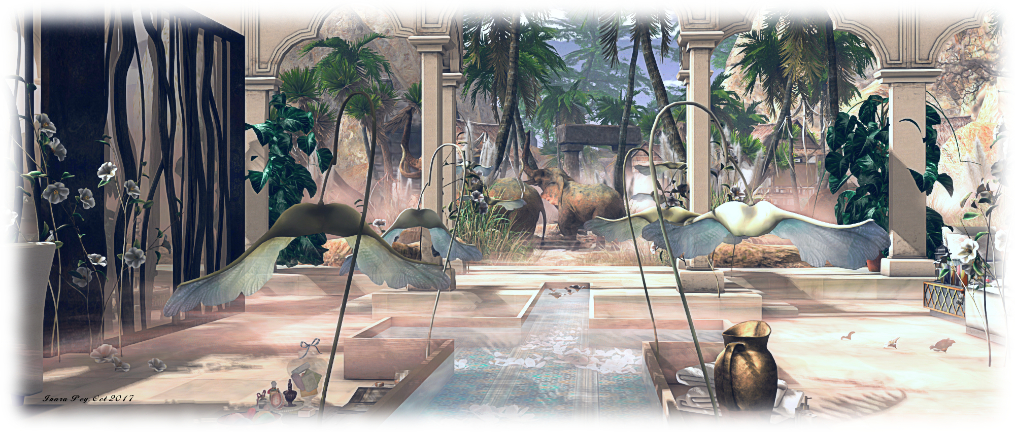
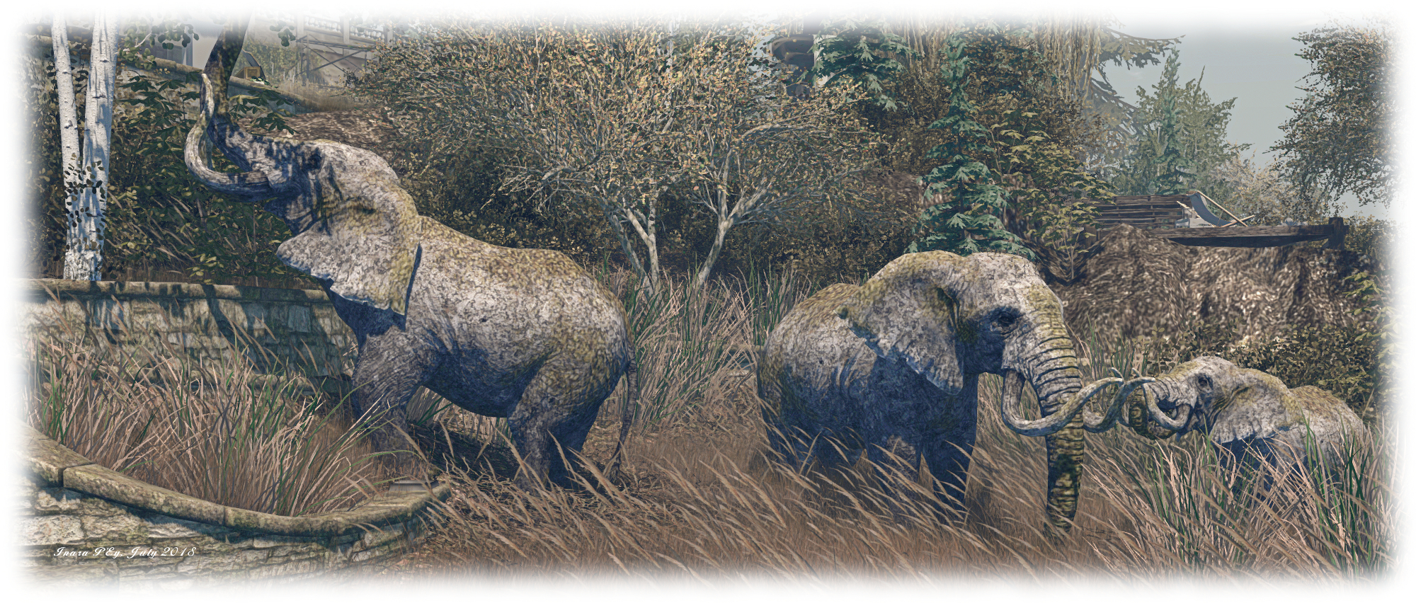
Devin 2 is remarkably similar to its former namesake at Devin, presenting an area which might be taken as a part of the Sahel Zone of Africa, with rolling dunes, some of which are covered in a thin but tough mat of grass, scattered trees and a lone watering hole where the local wildlife – elephants, zebra, rhinos, gazelle and giraffe – come to drink and seek shade while camels troop by. Only the cheetah appear to be looking for more than a drink and a rest as they pad towards the little dazzle of zebra. For those so inclined a dune buggy rezzer is available here – but as the landscape joins almost seamlessly with a region surround, keep an eye on your direction and distance from the region’s four sides if you want to avoid collisions!

Devin's Eye; Inara Pey, June 2018, on FlickrDevin’s Eye

As with Devin, Devin’s Eye offers visitors a rich environment to explore and discover and with plenty to do. Should you enjoy your visit, please consider a donation towards the region’s continued availability as a public place.

SLurl Details

Relaxing in Cape Florida in Second Life

Cape Florida Lighthouse and Park; Inara Pey, June 2018, on FlickrCape Florida Lighthouse and Park – click any image for full size

Cape Florida Lighthouse and Park is a homestead region designed by Shen Molinaro, specifically designed for people to visit, enjoy and to relax in. It offers plenty of walks, both along its sandy beaches and inland along paved paths, wooden board walks and over raised earthen trails that wind over grass and under bough. Also on the beaches and under the boughs of trees and palms, can be found places to sit or hang out along with opportunities to enjoy board games, take a bicycle ride or have a swim (look for the HUD givers as well as the rings out on the surf).

The region is somewhat modelled after the Cape Florida Light and the Bill Baggs Cape Florida State Park, at the southern end of Key Biscayne in Florida. The lighthouse has a long history, and is the oldest standing structure in Greater Miami. Today it is operated by the US Environmental Protection Agency.

Cape Florida Lighthouse and Park; Inara Pey, June 2018, on FlickrCape Florida Lighthouse and Park

I’ve no idea how well the region reflects the park, as I’ve never had the good fortune to visit the latter; but the lighthouse presents a fitting homage to its physical world namesake, and the beaches echo those from which popular photos of the lighthouse have been taken. However, accurate physical resemblance to Bill Baggs State Park isn’t important: the region stands on its own as a  place of natural SL beauty.

The beaches run along the west and north sides of the region, the northern beach becoming quite expansive before it reaches the white finger of the lighthouse topped by the black “nail” of its light. Grass grows on the undulating beaches, vying with trapped seaweed to break-up the whiteness of the sands. Rocky outcrops also break up the sands, several of which have snagged flotsam deposited by the sea during high tide; there are also numerous places to sit and watch the ebb and flow of the tide – be it on sun loungers, deck chairs or blankets.

Cape Florida Lighthouse and Park; Inara Pey, June 2018, on FlickrCape Florida Lighthouse and Park

Behind the beaches, the land rises gently – not to any great height, but enough for the sand to give way to a more solid covering of grass spread beneath the boughs of tress and palms. It is here, among the trees that the majority of the board walks and paths can be found, offering multiple routes to different destinations. The latter includes the octagonal bulk of a great greenhouse overlooking the southern coastline, the glass long gone from its heavy wooden frame, a small cabin, a partially walled terrace, a paved terrace under a triangular awning, and more besides.

To the east of the park is a tiled roof gazebo offering shade, food and refreshments, one of several decks that hug the coastline sitting below it. On one of the latter, set above the south-western tip of a beach on a rocky overlook, offers a couple of spiKKo tables for those looking to play a game. Just above one of the beaches, tucked away near the old church gate marking the way to (or from!) the paved terrace and its awning, in a chess table. A little stall can be found here as well, offering a range of fresh fruit.

Cape Florida Lighthouse and Park; Inara Pey, June 2018, on FlickrCape Florida Lighthouse and Park

The paths and board walks, with their twisting and winding and frequent intersections, help to give a feeling that the park is larger than the region on which it sits. This is further helped by the use of trees, bushes and shrubs to hide views of the coastline.

Those wishing to rez props for photography can do so by joining the region’s group. It might also be worth playing with windlight settings – I confess to flicking my viewer over to a couple sky options provided by Stevie Davos as a part of his cloud and sky series (see here for more), as I found the default windlight left me feeling a little chilly whilst exploring the region. When wandering as well, make sure you have local sounds enabled; Shen has provided a rich sound scape to fit the region and breathe further life into it.

Cape Florida Lighthouse and Park; Inara Pey, June 2018, on FlickrCape Florida Lighthouse and Park

A beautifully conceived and executed region which invites people to tarry whilst visiting.

SLurl Details

A Woods Club in Second Life

Woods Club; Inara Pey, June 2018, on FlickrWoods Club – click any image for full size

Woods Club is a picturesque quarter region designed by Secoia Harley Vita (Secoia Vita) and Viktor Galli, and which Shakespeare pointed us towards in late May. Ostensibly the home of a small club going by the name of the parcel, it offers a lot more to see and appreciate.

Established in 2008, the club offers music every weekend between 08:00 and 14:00 SLT, with a mix of deep tech, tech house, deep house, funky, tribal, indie dance, progressive, techno and more. It’s located on a plateau courtyard sitting with its back towards the centre of the region, with two rocky arms reaching out to the western and southern coastlines – the parcel occupying the south-western corner of the region.

Woods Club; Inara Pey, June 2018, on FlickrWoods Club

Dancing can be enjoyed both indoors and outdoors – there’s an outdoors stage to one side of the plateau, and there is also plenty of seating to be found as well. Take care when out on the cobbled terrace area, or you might trip over Clarice or Chuck Norris (a cockerel who presumably brooks no nonsense…). Steps under an ivy-wrapped arbour provide a way down off the plateau to where a colourful, if a little overgrown garden sits. This looks out over a ribbon-like pond to the sea to the west, and eastwards over a small stream running out from the pond.

Pointing the way between stream and pond is a tree-lined track, reached via a rocky incline, and which ends in the hump back of a stone bridge spanning the water. This offers the way to where a barn sits alongside a little vineyard guarded by tall cypress trees standing between it and the sea. The barn has been converted into a little wine bar, and faces a garden kitchen across tall grass growing around an old well.

Woods Club; Inara Pey, June 2018, on FlickrWoods Club

The track meanwhile, branches from the little bridge, one arm turned past the wine bar and kitchen to lead to a little fresh produce market beyond which visitors might find a little shaded picnic spot, a second facing it across the narrowing stream.  A rocky arch spans the neck of the stream, a shale beach of a little inlet, it’s mouth almost completely blocked by the rectangular forms of low boulders.

The other arm of the track runs northwards, pointing the way to another garden-like area sitting among the rocks and rugged grass, the talk finger of a windmill market its presence. Puppies and goslings share a common interest in steel tubs of water here, while old milk churns have been converted into planters. Beyond these, a swing bench under an awning of corrugated metals awaits visitors, a second, smaller pond sitting just above it. With a little care, the intrepid can make their way around the side of this pond, then over the grass and rocks, then past a painter’s little outlook to arrive back at the garden below the club.Woods Club; Inara Pey, June 2018, on FlickrWoods Club

Throughout all of this, there is a wealth of detail to find and enjoy – be it the little field of sunflowers sitting up on a headland, a wheelbarrow converted into a snug little outdoor bed next to them, or the deck chairs on the gravel beach, the rowing boat on the narrow pond, or simply appreciating just how naturally the garden areas have been brought to life. For the active, dancing can also be had down at the wine bar – but do keep an eye out for John Travolta strutting his stuff in the grass!

Woods Club is a genuine pleasure to visit, even if the weekend music selections aren’t to your taste. There are plenty of opportunities for photography, or simply to chill out and relax. Should you enjoy your visit, do please consider making a donation towards the parcel and club’s continued presence,  via the bongo drums alongside the outdoor stage.

Woods Club; Inara Pey, June 2018, on FlickrWoods Club

SLurl Details

A touch of Scotland in Second Life

MindPillars, a Scottish themed Sim; Inara Pey, May 2018, on FlickrMindPillars, a Scottish themed Sim – click any image for full size

When first encountering its name, MindPillars, a Scottish Themed Sim would appear to give itself away from this title: a region with a Scottish lean in its design. However, this still leaves a number of questions open  – where in Scotland? Highlands? Lowlands? islands? When in Scotland? Modern times? Times past? These, and questions like them, demand people pay the region a visit to find out; and the truth is MindPillars has touch of Brigadoon about it, as well as a twist of Scottish legend and myth.

The landing point, while set, is not enforced. However after Caitlyn and I spent an hour exploring, I do recommend you use it, as per the SLurl above, as it will deliver you to Geata Fhoingail (Fingal’s Gate) towards the western side of the region. An arch cut through living rock, the landing point features a map of the region ( and sharing the same west-east orientation), highlighting the 30 points of interest located across the region. In this, Fingal’s Gate is appropriately named: geata fhoingail might also be translated as “foyer gate”.

MindPillars, a Scottish themed Sim; Inara Pey, May 2018, on FlickrMindPillars, a Scottish themed Sim

It worth noting that the 30 points of interest draw on a broad range of locations from physical world, myth, history and legend – and not all of them are necessarily Scottish in nature. Penn an Wlas, for example, translates as “Land’s End” – a location in England’s Cornwall.  Touching the map will present you with a series of options, including a note card, Storyteller’s HUD,  and a copy of the map of the region. Available in English and German, the HUD will attach to the top left of your screen, where it will initially remain passive.

Where you go from here is up to you – there are trails and paths winding throughout the region – although you might want to keep an eye on your location via the region co-ordinates displayed at the top of the viewer: the region joins “seamlessly” with the outlying surround – complete with paths appearing to wind off into the distance – so you can end up walking into a region boundary if you’re not careful! The effect, however, is to make the region look and feel a lot bigger – as well as give it a feeling of being in the middle of Scotland.

MindPillars, a Scottish themed Sim; Inara Pey, May 2018, on FlickrMindPillars, a Scottish themed Sim

As you explore, you’ll come across signs (and sometimes rocks) highlighting each of the 30 points of interest around the region. If you’re wearing the HUD, proximity to these signs will trigger a text chat invitation to tell you a story about the location. However, with or without the HUD, you can touch them to display a menu offering you the map, the HUD and a note card with the location’s story. Some of the signs also include a lamp labelled Public Transport Available. Touching these will either rez a donkey and cart you can ride in, or offer a choice of routes before rezzing the transport.

Setting out along the paths will reveal the setting is broadly medieval in tone – as seen in the clothing of the “locals”. As well as the village, there are a number of other buildings to explore, such as Gorm Coinneach Maineir to the south-east, or Crow’s Court in the mist, or the ruins of a castle. There are also hidden places to be found – such as in the graveyard – for those willing to follow the suggestion given in About Land to click on things. I’m just not sure that accepting a tankard of whiskey is a good idea; not if you’re planning to keep walking or want to avoid the charge of being drunk in charge of a donkey cart … or flying dragon… 🙂 .

MindPillars, a Scottish themed Sim; Inara Pey, May 2018, on FlickrMindPillars, a Scottish themed Sim

Designed by Gaelle Ravenheart (Gaelle Joubert) and Carsten Ravenheart, MindPillars is ideal for those seeking something a little different by way of region design, and a hat tip to Shakespeare for dropping me a landmark.

SLurl Details

A Mainland taste of Italy in Second Life

Italian Village of Ciampi, Italy; Inara Pey, May 2018, on FlickrItalian Village of Ciampi, Italy – click any image for full size

The Mainland tends to have a reputation for either being “cluttered” or “empty” – nothing but ugly builds and masses of abandoned land.

While it is true the lack of zoning on Mainland can lead to confusing jumbles of parcels and buildings running one against the next, and that it may well have tracts of abandoned land (although the latter would appear to be getting eaten into with the Mainland pricing restructure), it is also true that there are many treasures to be found across the different Mainland continents. Some of them I’ve covered in these pages, others I’m still – despite 11 years in Second Life  –  discovering.

Italian Village of Ciampi, Italy; Inara Pey, May 2018, on FlickrItalian Village of Ciampi, Italy

One such place Caitlyn and I found a few months ago, and which has been waiting a blog post in the Italian Village of Ciampi, Italy. Located within the western extent of Heterocera, this is a combination of public spaces and private rental residences operated by Viggen Petofi (MasterViggen).

As the name suggests, this is a location themed after a countryside Italian village. If you want to reach it by road, it sits just off the western end of the continent’s road system shortly before it reaches the coast and turns north. For those teleporting into the village, the landing point is located in the main public area of the village, near the foot of the steps leading up to the local church on the south side of the region in which the village sits.

Italian Village of Ciampi, Italy; Inara Pey, May 2018, on FlickrItalian Village of Ciampi, Italy

From here visitors can wander among the little stores and cafés, pay a visit to the church or spend time alongside the village pond or exploring the village farm. Dirt tracks lead away from this public area in several directions. Along these can be found the private rental properties of the estate – so please do regard resident’s privacy when exploring.  These house come in a number of different sizes, and those interested in renting one might be able to do so via the village office. This is located across the continent’s cobbled road to the south, within a riverside group of shops.

Devoid of visible skyboxes overhead, with plenty of opens spaces which help to give the setting a rural feel, the Italian Village of Ciampi, Italy, offers a relaxing, pleasing visit for those looking for something a little different on the Mainland. It also offers assorted opportunities for photographs, and for Mainland explorers a pleasure stop along the road.

Italian Village of Ciampi, Italy; Inara Pey, May 2018, on FlickrItalian Village of Ciampi, Italy

SLurl Details

A Butterfly Beach in Second Life

Butterfly Beach; Inara Pey, May 2018, on FlickrButterfly Beach – click any image for full size

Updated May 23rd: to include information on the donation box for the region.

Miro Collas dropped me a tweet suggesting Caitlyn and I take a look at Butterfly Beach,  a Homestead region that recently opened to the public. The region has been designed by (the always delightfully named) Funky Banana (FunkyBananas) working with Lien Lowe. Funky was also responsible for Banana Bay, which we enjoyed visiting in the summer of 2017.

Butterfly Beach shares something of a common heritage with Banana Bay: both offer sunny, sandy beaches, a feeling of getting away from it all and an opportunity to relax and simply spend time in thought or with someone. From the air (or the Map) it’s clear how the island came by its name, and a visit starts on what might be considered the butterfly’s upper right wing (actually down towards the south-east corner of the region in terms of Map orientation).

Butterfly Beach; Inara Pey, May 2018, on FlickrButterfly Beach

First impressions on arriving is that this could be a small vacation island just off the coast of Italy or perhaps in the Aegean, available to those who want to escape the every day demands of life. A lone, single-story house sits towards the centre of the island, looking to the west and east. Tuscan in style, it shares the low-lying island with a scattering of outhouses: a small stone-built barn, a wooden boathouse and a small beach house, also built from wood.

A wooden deck extends eastward out over the sea a short distance from the house. The fencing around the house seems to lay claim to the deck such that it is easy to imagine wandering across the sand from the house to enjoy breakfast on the deck as the Sun eases its way higher over the eastern horizon.

Butterfly Beach; Inara Pey, May 2018, on FlickrButterfly Beach

As might be gathered from the name of the region, beaches are very much the feature of the island. However, rather than offering a single contiguous stretch of coastal sands running around the island, Funky and lien have carefully used small outcrops of rocks and runs of rough grass dotted with bushes to break the island’s sands into a number of discrete – and entirely natural looking – sandy headlands and small, curving coves.

Each of these little beaches has its own attraction, be it a simple blanket laid out on the sand or deck chairs under a parasol, through to a tent or makeshift shelter, all the way to the simply but cosily furnished beach house. Rowing boats and kayaks are drawn up on the sand or undergoing a repaint in the boat shed, swings hang from trees and wooden benches can be found amidst the grass. All of this gives the island an additional attraction and encourages time spent just wandering and appreciating, as well as in sitting and enjoying the setting.

Butterfly Beach; Inara Pey, May 2018, on FlickrButterfly Beach

Restful, set beneath an early morning’s summer sky and very photogenic, Butterfly Island is well worth a visit. If you do take photos, there is an open invitation to share them through the region’s Flickr group. A donations “box” in the form of a butterfly can be found near the landing point – so if you enjoy your visit,, do please consider making a donation towards the region’s continued upkeep.

Thanks again to Miro for the pointer, and to chericolette (see her comment below) for the pointer to the donation box, which I’d missed during my two visits to the region!

SLurl Details