An Autumn Trace in Second Life

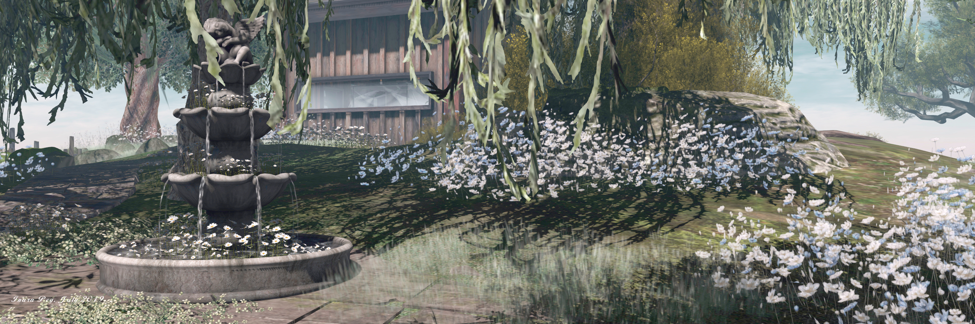
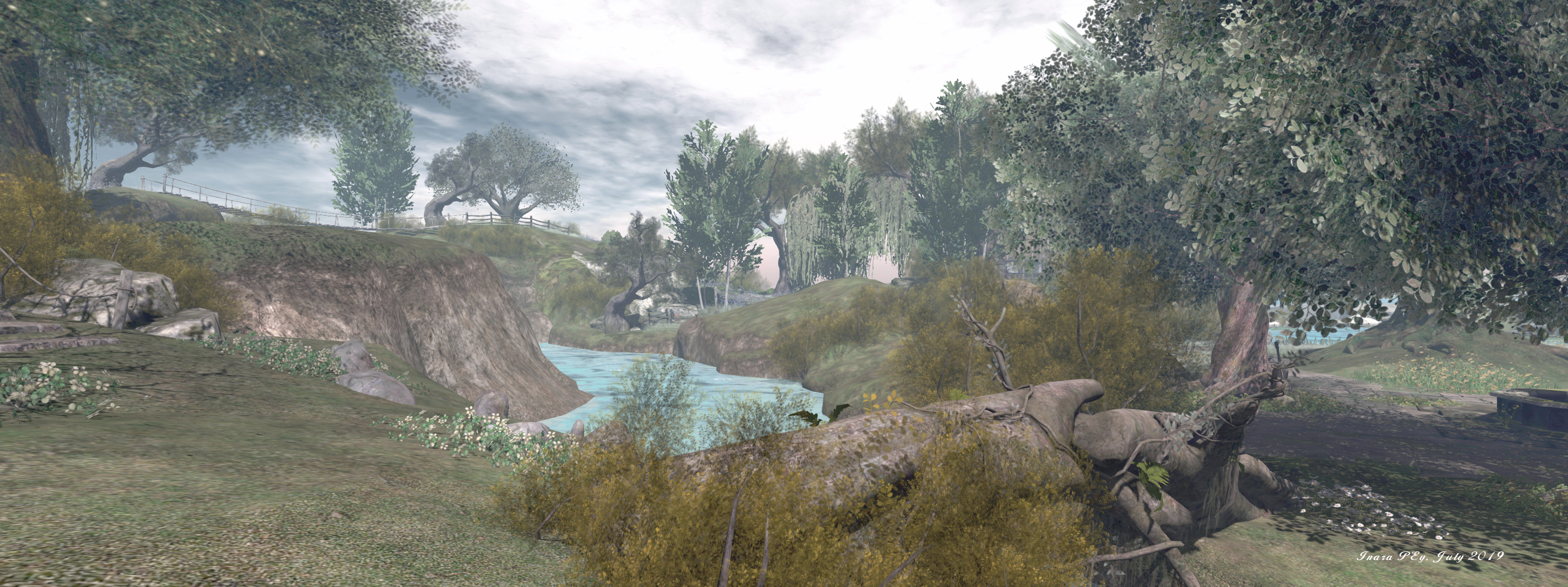
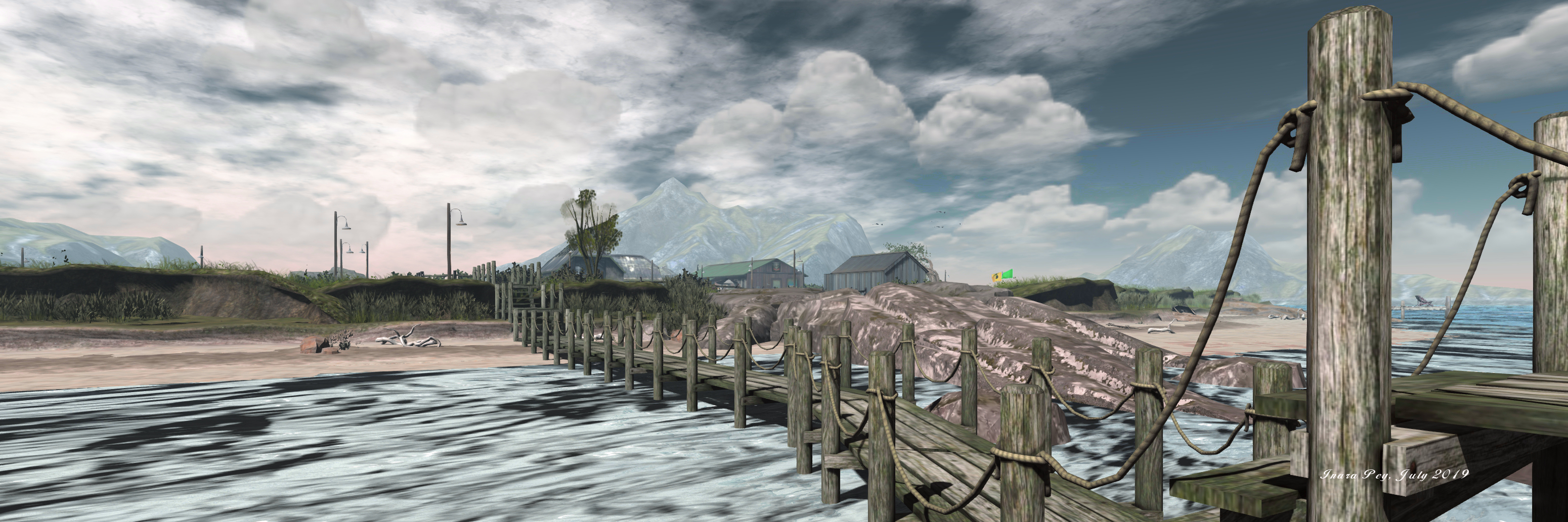
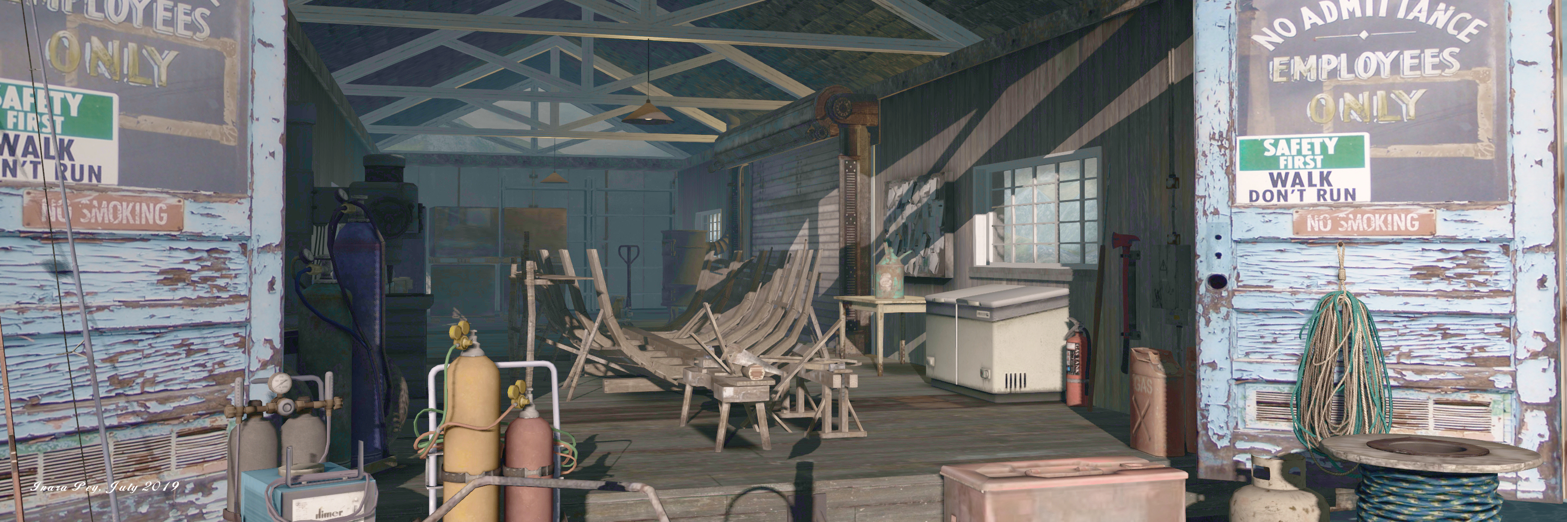
Autumn Trace; Inara Pey, July 2019, on FlickrAutumn Trace, July 2019 – click and image for full size

Elvira Kytori has a reputation for producing visually engaging and photogenic regions, and her designs are places we’ve always enjoyed visiting. So it was with pleasure that we made a return to Autumn Trace (formally Fall Trace), having last dropped in to write about it back at the end of 2016 (see Resting in Fall Trace in Second Life).

To be honest, the intervening time has not seen much (if anything) in the way of change in the physical design of the region. Still sitting under a cloud scudded autumn sky with the sun low on the horizon, this is a region that, once rendered, imbues a feeling of tranquillity well in keeping with the its official name. The low sun casts a soft glow across the region and lights the far horizon as if ringing Autumn Trace in a warm embrace.
Autumn Trace; Inara Pey, July 2019, on FlickrAutumn Trace, July 2019 – click and image for full size

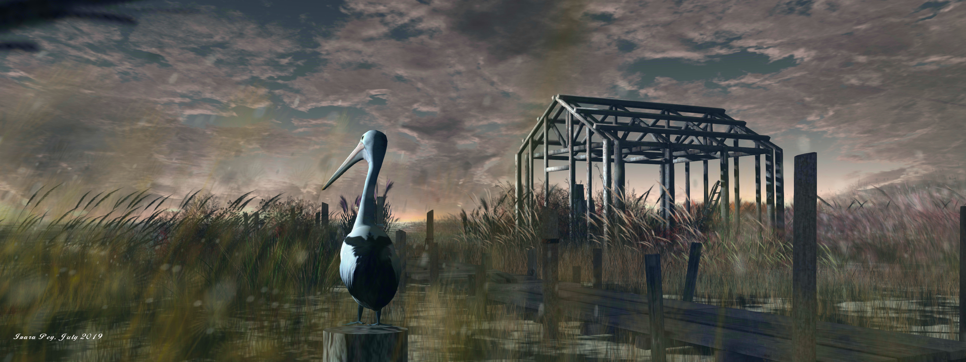
Completely low-lying, this is very much a water region, the fact that it is presented as a marshland rather than the (perhaps) more usual swamplands seen in Second Life adding a further level of attraction in making a visit. It is also, as a part of the White Dunes Estate, a partially residential region; the houseboat and other houses in the region are available for rent (or may be rented), so some care is required to avoid trespassing onto private property.

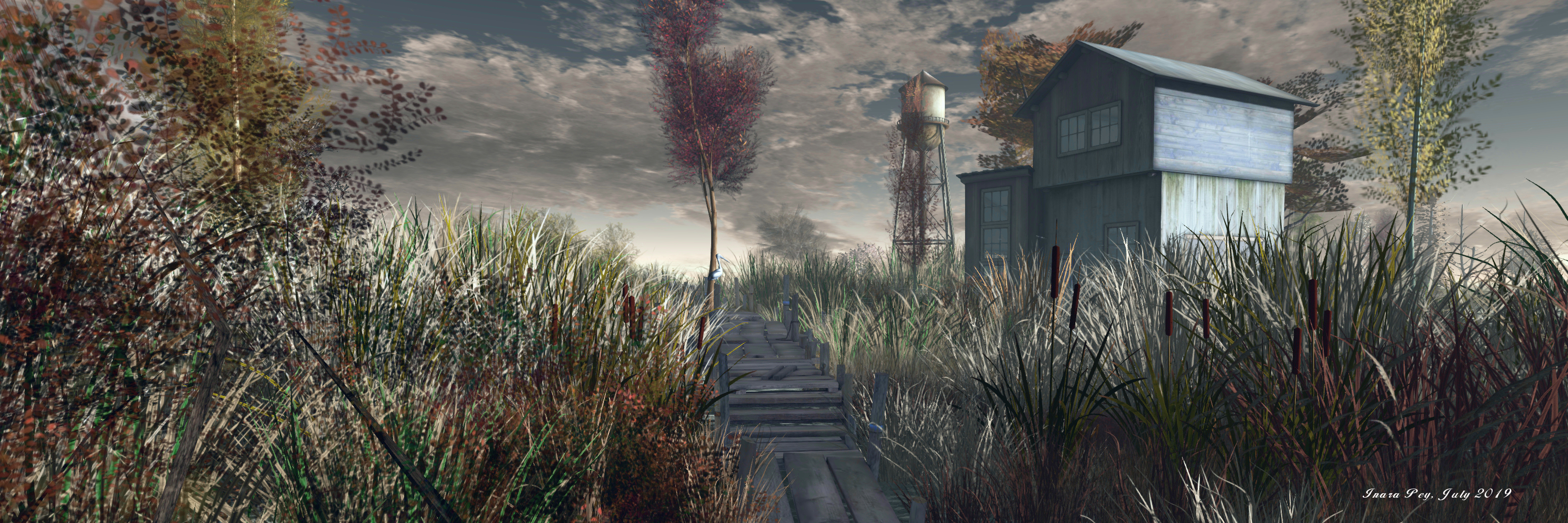
The landing point sits towards the middle of the region, within a small shack. From here a board walk leads out over the water and reeds, forming an open U that runs south and east before turning north to end at a small motorboat presenting a place for visitors to sit and enjoy the view. Along the way, the path passes a couple of the rentals, and also other public rest places – including a little raft out on the water, while a shorter branch of the board walk offers access to where a rowing boat also awaits people wishing to enjoy a place to sit and cuddle.
Autumn Trace; Inara Pey, July 2019, on FlickrAutumn Trace, July 2019 – click and image for full size

Eastwards, and overlooked by a watchtower that can be reached via another wooden path, the region is open and wild; south and west is an arc of private rentals, the shallow channel of water between them and the inner part of the region forming a natural buffer against trespass. However, it is not the rentals that hold the attention here; it is the wildfowl and birds.

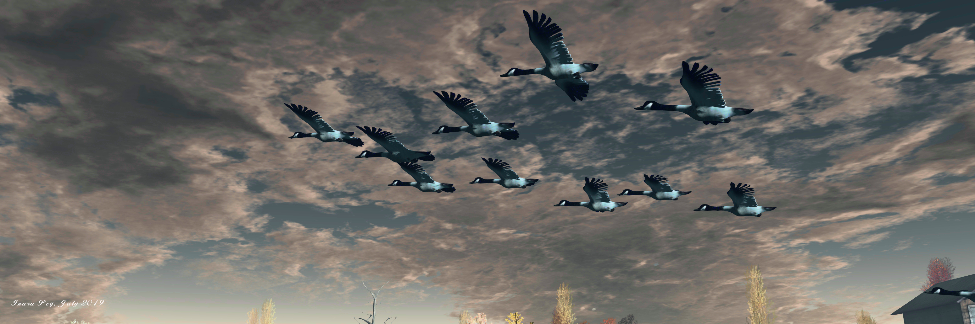
Across the region one can spot pelicans, herons, geese, cormorants, and egrets, while overhead crows and an eagle circle and small birds can be spotted throughout.  Also to be found are deer and beaver and possibly one or two critters we missed. All of these add additional depth to photography within the region, offering plenty of opportunities to capture the local “characters”.
Autumn Trace; Inara Pey, July 2019, on FlickrAutumn Trace, July 2019 – click and image for full size

All of this means that Autumn Trace remains an ideal destination for a relaxing visit, one which – as the heat of summer takes its toll across many parts of the northern hemisphere, perhaps offers a sense of cooler climes and a break from feeling as if you’re slowly broiling in the heat.

With thanks to Miro Colas for the reminder to pay Autumn Trace another blogging visit.

Autumn Trace; Inara Pey, July 2019, on FlickrAutumn Trace, July 2019 – click and image for full size

SLurl Details

The natural beauty of Scarlett Isle in Second Life

Scarlett Isle; Inara Pey, July 2019, on FlickrScarlett Isle, July 2019 – click and image for full size

Scarlett Isle is the name given to the Homestead region held by Grace Sixpence and Zigmal we recently toured. It has been landscaped for them by Engelsstaub, who is perhaps best known for her own region designs at Whimberly, a place I’ve written about on numerous occasions in this blog simply because of the elegance of the settings within it that Staubi presents.

And this elegance and beauty is to be found within Scarlett Isle. The region’s About Land description states “Scarlett Isle is designed to be used by those interested in SL Photography”, and it is very definitely photogenic.

Scarlett Isle; Inara Pey, July 2019, on FlickrScarlett Isle, July 2019 – click and image for full size

The region is presented as a pair of large islands, diagonally cut by a narrow sliver of water running south-east to north-west, where both islands form a bay in which a smaller, lighthouse-topped islet sits.

The more southerly of the two islands is the larger landmass, and home to the landing point as it sits towards the centre of the region. Rugged in nature, the southern island is nevertheless low-lying, marked by a large oval of rocky land to the east. With its stepped strata of grass-topped rock, this looks from some angles like the mossy shell of the great turtle lying in the water.

Scarlett Isle; Inara Pey, July 2019, on FlickrScarlett Isle, July 2019 – click and image for full size

The western end of this rocky hill rolls gently down to a lower shelf of rock extending further westward and bounded to the south by a beach and the north by the dividing channel. This shelf in turns falls away to a marvellous low-lying area of sand, rock and grass that encloses a large pool of water.

Paths – stone, wooden and grassy – wind gently through this rugged landscape, passing under the boughs of trees and between beds of flowers, leading the way to multiple points of interest, be they the wide swath of sandy beach to the west, a waterside walk around the inner pool of water, the stone terrace that sits in a fold of land that the water clearly once cut into, or the heights of the rocky tables south and east.

Scarlett Isle; Inara Pey, July 2019, on FlickrScarlett Isle, July 2019 – click and image for full size

A tall wooden cabin sits on the rock above the landlocked pool, looking westward over the peaceful waters and the beach beyond them. Open to the public, it resides among a copse of olive trees, weeping willows and silver birch that form a curtain of green around it, naturally shielding it and giving it a sense of privacy without actually isolating it from the surrounding landscape.

From here, a wooden board walk offers a way down to the southern curve of beach, while the meandering stone path that connects the cabin with the landing point and the rest of the island continues up the slope to the humped top of the turtle-like hill. This is marked by a great oak tree, a small swing slung beneath one of its great boughs. Surrounded by a wash of blue and white flowers, it is an ideal spot for quiet contemplation.

Scarlett Isle; Inara Pey, July 2019, on FlickrScarlett Isle, July 2019 – click and image for full size

Two bridges span the channel separating the southern island from the northern. One is a wood suspension bridge slung across the region’s highest points – the northern island being, on average, higher than the southern . The other bridge is a simple affair of logs dropped over a lower-lying point of the channel’s banks.

The bridges invite exploration for the northern island – a curbed path winds away from one, and a grass track marked by stone steps runs up the slope from the other. However, do take note that the two buildings located on the northern island  – one sitting close to the suspension bridge and the other off to the north-east at the end of the winding curbed path – are protected from casual visits by security orbs. These offer 15 second warnings – but given the About Land description invites exploration in the region, a couple of signs given advanced warning of the private nature of the houses perhaps wouldn’t go amiss.

Scarlett Isle; Inara Pey, July 2019, on FlickrScarlett Isle, July 2019 – click and image for full size

A large meadow arcs around the north coast of the region between the north island’s two private houses, and a path winds down the cliffs from this to another beach, this one running around the north-east headland of the island. The beach is also open to the public, but, care is again needed when following it along the eastern coast to where a stepped set of decks can be found. These are within one of the private parcels, and it is actually very easy to miss the security orb’s warning on reaching them; so again, a warning sign might help prevent people finding themselves unexpectedly teleported home.

This grumble aside, there is no mistaking the sure beauty of Scarlett Isle. Its look is incredibly natural, and offers a feeling of a wild, but well-cared for garden environment. Throughout the islands are plenty places where this natural beauty can be appreciated, from deck chairs and blankets on the beach to swings under boughs to chairs sitting in the shade of parasols on that stone terrace, or benches sitting on rocks or grassy bank and more. All of which sits within an ideal sound scape that makes Scarlett Isle an almost perfect visual and aural experience. Those taking photos are invited to share them with the region’s Flickr group, and a fee of L$150 provides rezzing rights via the local group.

Scarlett Isle; Inara Pey, July 2019, on FlickrScarlett Isle, July 2019 – click and image for full size

With thanks to Shawn for the pointer and LM!

SLurl Details

Visiting Norddeich in Second Life

Hallig Norddeich, Nibbevegen 1; Inara Pey, July 2019, on FlickrHallig Norddeich, Nibbevegen 1, July 2019 – click and image for full size

Update: Norddeich appears to have closed and the host region is now private.

Following a recommendation from Shawn and Max, we dropped into Hallig Norddeich, Nibbevegen 1. A Homestead region designed by Svenja Maass (MinAleiga), it offers a slightly untamed feel of a coastal region which, given the name, I couldn’t help but wonder if it took its inspiration from Germany’s East Frisian coast and islands.

I’ve no actual solid reason for stating that it does – other than the presence of Norddeich in the title (Hallig being “exuberant”), but should that be the case, then it would certainly be appropriate; the islands along that stretch of coast, together with their cousins along the more northern aspect of the Wadden Sea coastline, have given rise to the naming of a number of places in Second Life, including Norderney and Amrum, both of which have featured as destinations in this blog.

Hallig Norddeich, Nibbevegen 1; Inara Pey, July 2019, on FlickrHallig Norddeich, Nibbevegen 1, July 2019

While the physical world Norddeich is a coastal area, this one is quite clearly an island, one among a group that rise from the sea, although its neighbours are a good deal more mountainous in appearance – and a good deal more rugged than the Frisian islands (East or North).

With their rugged faces and lack of trees, these off-sim island give the region something of a Scandinavian feel; were that more joined, it wouldn’t be too hard to imagine this to be a remote island sitting within a fjord. Hence why, perhaps, the hint of Norwegian influence in the region’s name as well (being the name of the road leading up to the Geiranger Skywalk).

Hallig Norddeich, Nibbevegen 1; Inara Pey, July 2019, on FlickrHallig Norddeich, Nibbevegen 1, July 2019

The region is split into two islands – the smaller of the two forming the landing point, and the larger the main point of exploration / interest. Both are low-lying, a wooden board walk spanning the narrow channel between them. Save for the shack of the landing point, an old, bent tree and a few shrubs, the smaller island has little to entice visitors to stay, marking it as the perfect spot for the sea lions occupying a small deck on the island’s north side to enjoy a little peace and quiet.

Across the board walk, the larger island is equally low-lying. Ringed by a thin band of sedimentary sand, much of which would appear to be under water at high tide, the core of the island is buttressed by humpbacked cuesta, marking the point where the softer sediments of the beach give way to harder rock the sea is talking a lot more time to erode.

Hallig Norddeich, Nibbevegen 1; Inara Pey, July 2019, on FlickrHallig Norddeich, Nibbevegen 1, July 2019

On the west side of the island, the sea has had a little more success in cutting into the land, forming a shallow, sandy cove that has been set out with beach chairs, blankets and deck chairs, the flags fluttering above it indicating the area is safe for bathing but surf boards or other types of board-based spots / floatation devices are not permitted.

With few trees – the main vegetation being grass and hardy shrubs – the island offers a strange mix of buildings suggestive of this once being a place of work. Two of these sit towards the middle of the island, and have a definite industrial vibe to them. However, the larger – which may once have been a long storage shed – is now a bar, presumably here to keep those visiting the island for its beaches refreshed. Separated from it by a little outdoor drinking area and a greenhouse, the smaller of the two units has been converted into a cosy little home that looks out over a rutted track to where sheep graze in a large, fenced field.

Hallig Norddeich, Nibbevegen 1; Inara Pey, July 2019, on FlickrHallig Norddeich, Nibbevegen 1, July 2019

The track – one of a number rolling across ver the uneven landscape, runs past the two buildings to connect the beach to the west with a wharf to the east, a branch also connecting it with the board walk to the landing point. The wharf is clearly a place of work – the keel of a boat is being laid down inside the boat shed and a fishing boat with fish in its holds is tied-up alongside.

With multiple spots located around the beaches where cuddles and seats can be enjoyed, the region also offers other little spots for shared moments, indoors and out (try the gate into the sheep field for example). There’s also a suitable sound scape to round things off, making this an enjoyable place to visit and photograph – the latter being added by the inclusion of a cloud scape as a part of the region’s off-sim landscaping.

Hallig Norddeich, Nibbevegen 1; Inara Pey, July 2019, on FlickrHallig Norddeich, Nibbevegen 1, July 2019

SLurl Details

North Brother Island, “the last unknown place”, in Second Life

North Brother Island; Inara Pey, June 2019, on FlickrNorth Brother Island, June 2019 – click and image for full size

Update: in keeping with Serene and Jade’s approach to offering their region builds for approximately a month before moving to a new location and project, North Brother Island has closed, and SLurls therefore removed from this article.

For their July 2019 region design, Serene Footman and Jade Koltai bring us their vision for what photographer Christopher Payne called The Last Unknown Place in New York City – North Brother Island; and like all of their builds, it is a true wonder to behold and explore.

North Brother Island is one of two small islands located on New York’s East River, its slightly smaller companion now being known as South Brother Island. Both were claimed in 1614 by the Dutch West India Company and originally called De Gesellen (“the companions”), which eventually became transposed to “the Brothers”. Both island have a fascinating history, with that of North Brother perhaps being the more complex – and the more tragic.

North Brother Island; Inara Pey, June 2019, on FlickrNorth Brother Island, June 2019

In 1904, it was the final resting place of the General Slocum, a massive side-wheel paddle steamer built in the 1890s, she caught fire whilst carrying 1,342 passengers and through a combination of neglect by the owners, foolhardiness by the Captain (he failed to use opportunities to either make a safe landing or run the ship aground before the fire overwhelmed the vessel), 1,021 of those souls perished either aboard the ship or as a result of drowning in the East River – many of their bodies washing up on North Brother Island in addition to as the vessel running aground there.

In addition, Serene goes on to note the island was the home to:

Riverside Hospital, which moved here from Roosevelt Island in 1885 … Following World War II North Brother Island was inhabited by war veterans during the nationwide housing shortage, before being abandoned again in the early 1950s. It was then was used as the site of a treatment centre for adolescent drug addicts, but the centre closed amidst controversy – it was said that heroin addicts were held against their will and locked in rooms until ‘clean’ – in the 1960s.

– Serene Footman, writing about North Brother Island

North Brother Island; Inara Pey, June 2019, on FlickrNorth Brother Island, June 2019

Riverside Hospital, originally founded in the 1850s, was designed to isolate and treat victims of smallpox, with its mission expanding to cover other diseases requiring quarantine. In this role – as Serene also notes – it took in those stricken with typhoid, including “Typhoid Mary”, Mary Mallon. An Irish-American cook, she was the first person in the United States identified as an asymptomatic carrier of the pathogen associated with typhoid fever. It is believed she infected between 47 and 51 people during her career as a cook, and was twice forcibly isolated by public health authorities, the second time finally passing away in Riverside Hospital in 1938, after a total of nearly three decades in isolation.

In 1943, a large tuberculosis pavilion was constructed on the island but was never used for that purpose, already being obsolete by the time it opened. Instead, it was used as a dormitory by a number of New York City’s colleges, students transported to and from the island via the East 134th Street Ferry Terminal.

North Brother Island; Inara Pey, June 2019, on FlickrNorth Brother Island, June 2019

In the late 1950s  / early 1960s, the same ferries were used to transport adolescents to the island to be “treated” for drug abuse. The idea had been to provide care for up to 100 males and 50 females away from jails where drugs could still be obtained, with stays at the pavilion being for up to six months. But the hospital gained a reputation for keeping adolescent addicts against their will – it merely required their parents to place them there, with or without the agreement of the courts. Once there, the young people were frequently locked away and left to go cold turkey as a means to break their addiction.

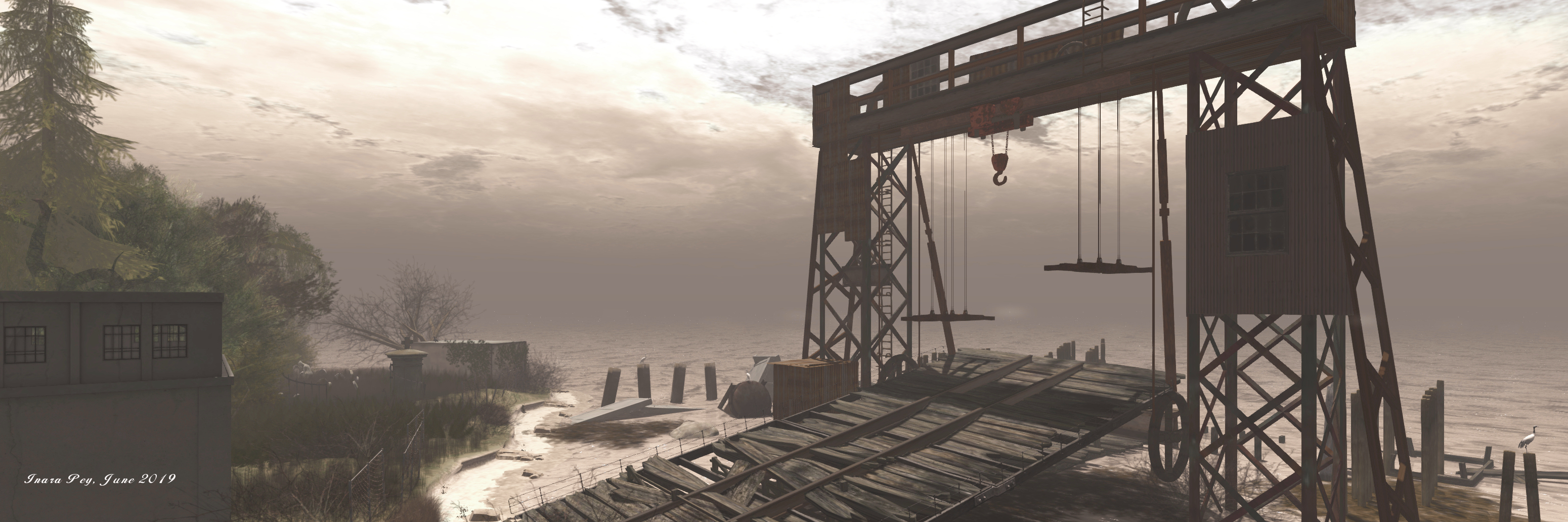
The hospital finally closed in the 1960s, and North Brother Island abandoned, its many building and facilities – including the ferry wharves and giant gantry crane, many of the hospital buildings and facilities, left to rot. However, many of them have now been captured in this interpretation of the island by Serene and Jade.

For our reconstruction of North Brother Island, we have relied on maps which contain details of where specific buildings – the hospital itself, staff quarters, the physician’s house, the morgue, tennis courts, and so on – were located. (For reference, we have labelled and dated the island’s buildings in-world.)

– Serene Footman, writing about North Brother Island

North Brother Island; Inara Pey, June 2019, on FlickrNorth Brother Island, June 2019

In addition they have called upon the resources of Christopher Payne’s catalogue of photos of the island: North Brother Island The Last Unknown Place in New York City. The result of five years of being allowed to visit the island  – today both North and South Brother islands are designated wildlife sanctuaries, and so protected (North Island is additionally regarded as being too dangerous for the public given the state of its buildings) – Payne carefully constructed a visual history of the island. This, together with their own extensive research, have allowed Jade and Serene have produced a region that powerfully captures North Island as it stands today, its past history, and the pathos and pain of that history.

The latter is particularly well captured in the small details to be found throughout the region. Take, for example, the bed frame converted to a seat and that sits on a little dock. A suitcase  sits behind it, while a short distance away, a little motor boat sits on the water; the entire scene brings to mind the longing of the young people held on the island to return home.

North Brother Island; Inara Pey, June 2019, on FlickrNorth Brother Island, June 2019

To say North Brother Island is visually stunning is to do it a disservice. As with all of Serene and Jade’s builds, it must be seen to be appreciated and understood – and there are plenty of places within it that allow visitors to contemplate on the history of the island – or whatever else might be on their minds.

Related Link

The exquisite allure of Otter Lake

Otter Lake; Inara Pey, June 2019, on FlickrOtter Lake, June 2019 – click and image for full size

Otter Lake is one of the most alluring homestead regions we have recently visited. The work of Sharon Hinterland, this is a truly remarkable region in terms of the amount of space the region exudes, the beauty of the design, and the richness of detail. So much so that it is actually hard to believe it is only an Homestead region and thus capped with a land capacity of 5K.

Set out as a rural island sitting amidst a little archipelago, this is a place that is a sheer joy to explore. The landing point sits towards the west of the region, lying on a stretch of shingle coast bordered on one side by the estuary of a fast running channel that cuts the land in a broad arc, and overlooked by a wooden lighthouse sitting on a rocky promontory on the other.

Otter Lake; Inara Pey, June 2019, on FlickrOtter Lake, June 2019

The dock on which the landing point can be found is clearly a place where visiting boast might moor – a gas pump for refuelling them sits just back from the water’s edge, a little office just behind it. From here, visitors can walk up the hill and visit the lighthouse (be careful around some of the rocks, they can be a little “spongy”, shall we say), or follow a wooden path that curls around an old barn / garage to where it splits to either roll back down to the coast and a simple bridge of planks spanning the arcing channel, or to wind onward to become an asphalt path that twists over of the ridge coming off the back of the rocks supporting the lighthouse to drop back down into a small valley and across the little channel of water via a more substantial bridge.

The far side of this bridge offers further choices: do you turn left and inland, to follow the raised bank of the channel, keeping to the narrow ledge the sprouts from the side of a hill? Or do you follow the log path that climbs the hill under the shade of the trees crowning it? And if you do, should you turn off from that path and descend stone steps to where smoke rises from a small cabin? Or do you continue to follow the path onwards into the lee of tall cliffs?

Otter Lake; Inara Pey, June 2019, on FlickrOtter Lake, June 2019

It is these kind of choices – and there are many across the region – that help to make a visit to Otter Lake such a joy.  Paths meander, climb slopes, descend hills, curl around rocky heights or climb them along the curling or straight lines of stone steps, or point the way to where ribbons of sandy or shingle beach wrap their way around the coast. Within all of these paths is a further delight: just when you think you have seen it all, you round a corner or reach another ridge, you find yourself at another unexpected path or stairway, or a new vista opens before you, enticing you on, giving the region its feeling of expansive openness.

Across this landscape are multiple points of interest – places to sit, to cuddle, to appreciate the view, and relax. There are cabins and little houses waiting to be discovered – all of them open to exploration, as the About Land description notes.   Travel to the north-west of the island and you’ll find a small working farm, sitting in the loop of a shingle beach and at the end of a dirt track.

Otter Lake; Inara Pey, June 2019, on FlickrOtter Lake, June 2019

Follow this track as it winds upwards along a gentle slope and under a rich mix of trees, and it will lead to the island’s heart, literally and visually: a marvellous lake from which a single brook tumbles its way along another channel that connects the lake to the coast by way of rocky pools and little drops over their lips, the water bubbling and splashing under bridges and across what might be little fords.

The lake forms the focal point for a stone-built cottage that looks out over the waters from a shoulder of rock, revealing the quite extraordinary garden-like setting. This features places around the rim of the lake that can be enjoyed, There’s a deck, an old rowing boat tipped on its side to form a little snug, paths and little gatherings of plants, a gazebo and, for those so minded, a raft on the lake’s waters.

Otter Lake; Inara Pey, June 2019, on FlickrOtter Lake, June 2019

The entire location is fabulously natural in design. And that’s the other attraction of Otter Lake; the entire region feels like it has been formed by nature, not created by human mind and hand. This is a place where the landscape is widely varied, rich in contrasts from shingle and sandy shores through low-lying grasslands, rolling hills to up-thrusts of rock that form plateaus and tables, all of which roll together in a perfect blend, populated by trees and bushes, grass and flowers, rounded-out by an ideal sound scape.

Nor does it end there at the lake. Across the water from the cabin, water tumbles down a high cliff-face. Follow the paths running around the bowl of the lake from the cabin – one of which will lead you past another, smaller cabin – and you’ll come to more stone steps leading the way up the slopes either side of another channel of fast-flowing water that churns its way from a pool on the crown of the island down to the falls that drop into the lake. Here sits the final treat: the pond itself and the shack of a cabin overlooking it, aged but cosy inside, and with an octagonal deck extending out to the south and west, providing a magnificent view back towards the lighthouse and the landing point.

Otter Lake; Inara Pey, June 2019, on FlickrOtter Lake, June 2019

Otter Lake really is the most exquisite design for a region. Almost perfectly formed, it is a photographer’s and explorer’s delight, a tour de force of what can be achieved within a Homestead region – and without overloading people’s systems. It is certainly a destination not to be missed and appreciated. When visiting, do please consider making a donation towards, the region’s continue existence (there’s a piggy bank at the landing point!

SLurl Details

Passing through a Witchwood in Second Life

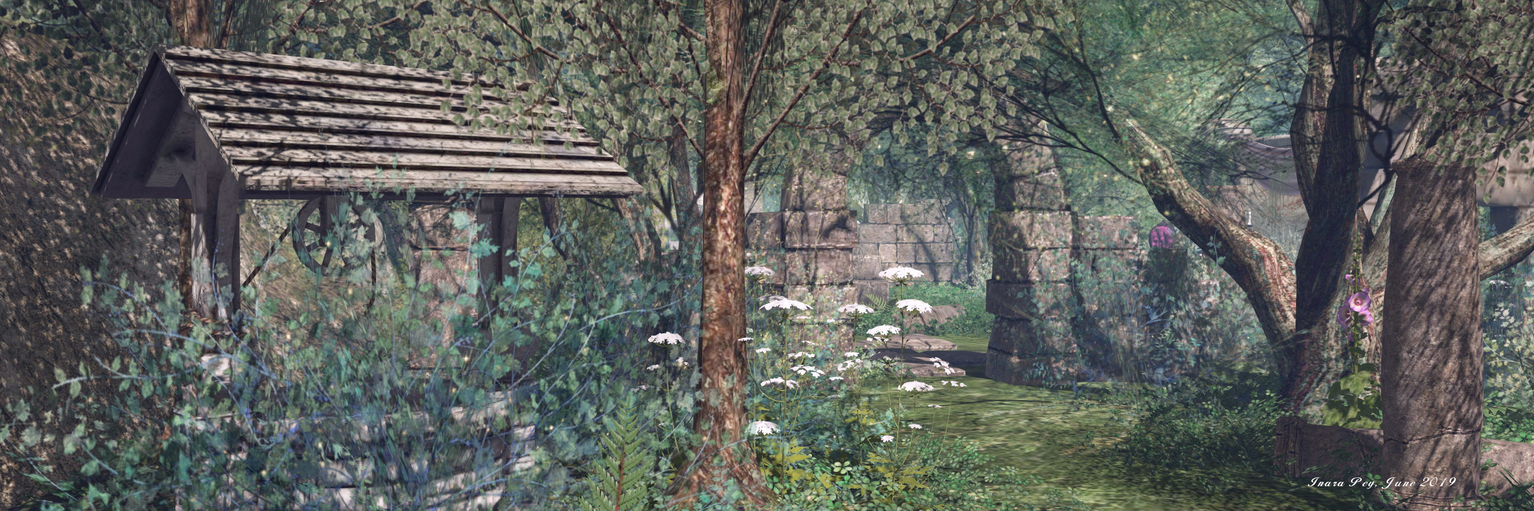
Witchwood; Inara Pey, June 2019, on FlickrWitchwood, June 2019

Witchwood is the name give to the Full region home of the Petite Mort and Oubliette stores, both of which are owned by Melora Frost (insilvermoonlight). It’s a location I’ve been aware of for a while, the region also being the home of the RMS Titanic dance venue (a quite separate build), which has been a semi-regular destination for us for a good while.

As well as being the home of the two stores, one to the east and the other to the west, the half of the region they occupy has been landscaped by Melora to provide a place of exploration, relaxation and photography – and it is very beautifully laid out.

Witchwood; Inara Pey, June 2019, on FlickrWitchwood, June 2019

The landing point occupies the middle ground between the two stores: a low-lying paved area crowned by a fountain that overlooks a small lake backed against high cliffs to the north. This space, with a deck built out over the water and falls dropping from on high, can be a restful place unto itself, with swans swimming on the water from which ornate lotus lilies rise, and places to sit and enjoy the sounds of the falls and the ripples of the water. However, signs close by suggest it might also be the location for occasional flash sales, so there may be times when it is a little less restful!

Three paved paths exit the landing point, those pointing east and west, marked as they are by arches, lead the way to the stores as they sit on higher ground fronted by small formal gardens. The third points south, offering access to a cosy little beach by way of a slightly more distant arch.

Witchwood; Inara Pey, June 2019, on FlickrWitchwood, June 2019

But it is the ground between the stores, sitting beneath the boughs of tress and within small glades in the mists of their green canopy, that the magic of the setting resides. Here, on one side of the path pointing to the beach, and just off the route up to Petite Mort, is a marvellous wild garden sitting among ancient ruins. Flagstones still lie in place on the ground, while ancient walls divide the space under the tall arms of trees into the suggestions of former rooms or halls.

Plants appear to grow wild here, but it is evident from the lay of the grass and the cared-for waters of the koi pond deep among the ruins, that these spaces are actually well tended, the feeling of wild growth carefully cultivated.

Witchwood; Inara Pey, June 2019, on FlickrWitchwood, June 2019

Within this garden are many points of interest, from the chaise lounge sitting atop an one stone stairway that perhaps once climbed much higher inside whatever building the ruins once were, the shaded soda close by, or the chaise and chair finished in imperial purple and standing guard either side of an old gramophone player in space clearly intended for photography.

Just off of the path leading to Oubliette is a slightly darker themed, but no less engaging, scene: that of an old graveyard. A single path spotted by flagstones runs between headstones, tombs and mausoleum, many lit by candles, to reach an old stone ring of arches that fold within their arms the statue of an angel.

Witchwood; Inara Pey, June 2019, on FlickrWitchwood, June 2019

Stone benches are placed along the path for those who wish to rest in solitude here, and I have to admit that during our visit an aged piano sitting on the path to the beach happened to be playing the adagio sostenuto from Beethoven’s evocative Moonlight Sonata, which added a certain depth to exploring here.

As well as being beautifully laid-out, there is a wonderful juxtaposition within this setting that might be easily overlooked, but which  – to me at least – adds a further poetic depth to the design. Sitting below Petite Mort (“little death” (or dead, if you prefer)), are old ruins that many or may have once been a castle or fortress – places that may well once have had an oubliette (a dungeon with an opening only at the top) deep within them. Then, just below Oubliette there sits a small graveyard, a place one might say of a “little death”. Thus, the stores are cross-linked by the themes of the settings over which they respectively stand.

Witchwood; Inara Pey, June 2019, on FlickrWitchwood, June 2019

Captivating throughout, Witchwood offers a place to visit and appreciate in its own right, even if you are not specifically shopping there. opportunities for photography lie throughout, either using the default windlight (found within the About Land description) or by setting one of your own. For those visiting purely for the opportunity to explore and who are minded to show their appreciation for such an engaging environment, tip jars are provided in a number of places.

SLurl Details