Matoluta: spring 2015

Matoluta Sanctuary, Sartre; Inara Pey, March 2015, on Flickr Matoluta Sanctuary (Flickr) – click any image for full size

Mz Marville sent me a note card recently, announcing that Matoluta Sanctuary had re-opened with a new look. As regular readers will know,  the Matoluta estate has appeared a number of times in this blog, starting with its original opening back in July 2014. The focus of the estate and the community behind it is to raise awareness of the plight of the Colonial Spanish Horse on the North American continent.

These horses, perhaps more familiarly known as Spanish Mustang by some although there are in fact several strains and sub-strains, are  descendants of the original Iberian horse stock brought to America from Spain, and are one of only a very few genetically unique horse breeds worldwide.

Matoluta Sanctuary, Sartre; Inara Pey, March 2015, on Flickr Matoluta Sanctuary (Flickr) – click any image for full size

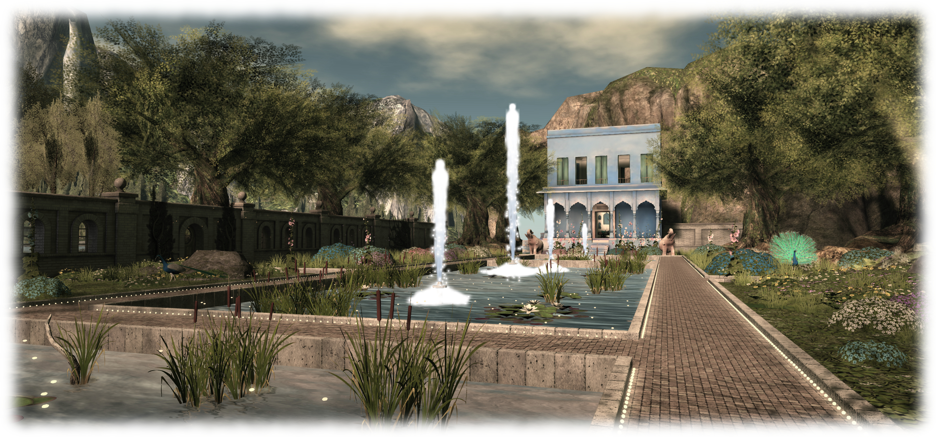
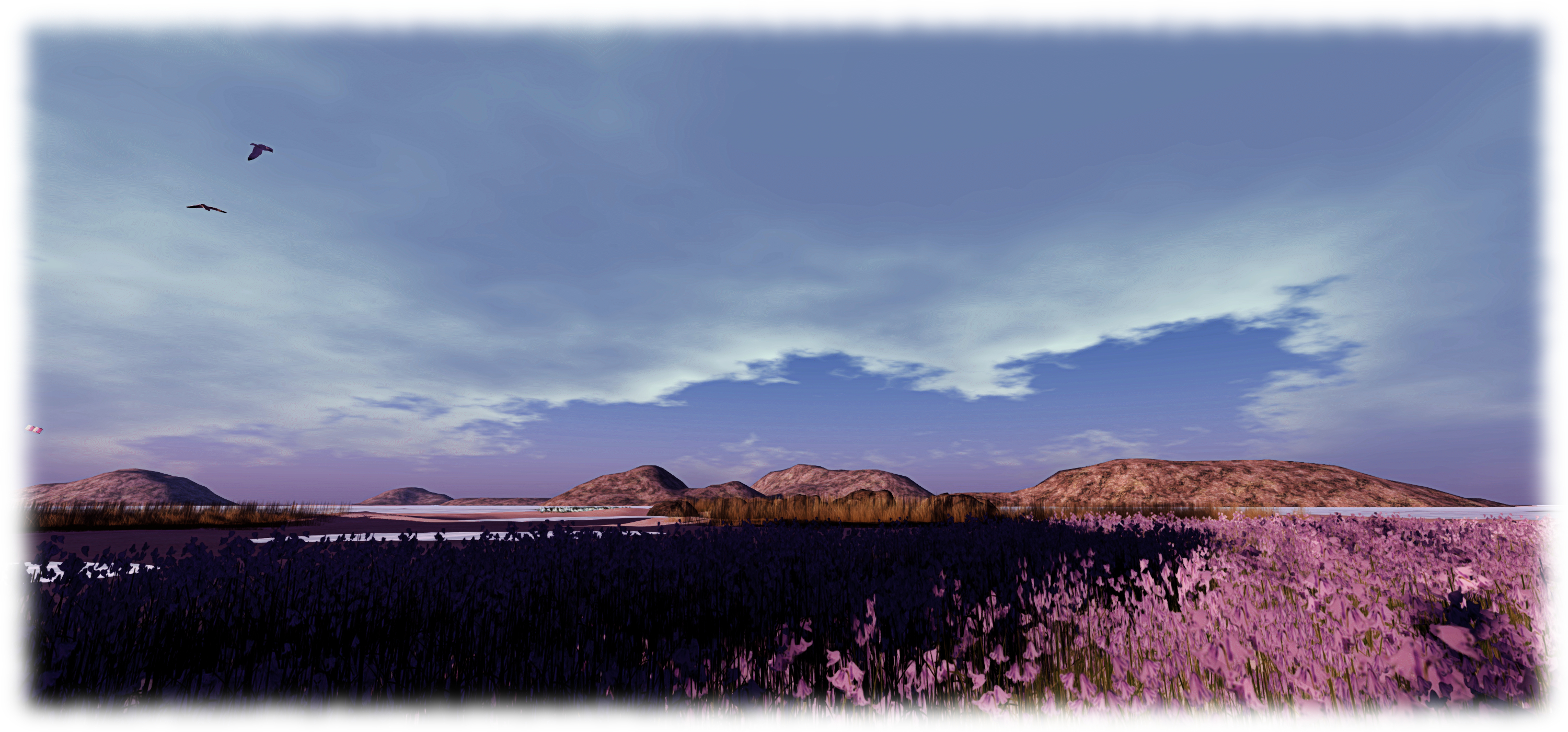
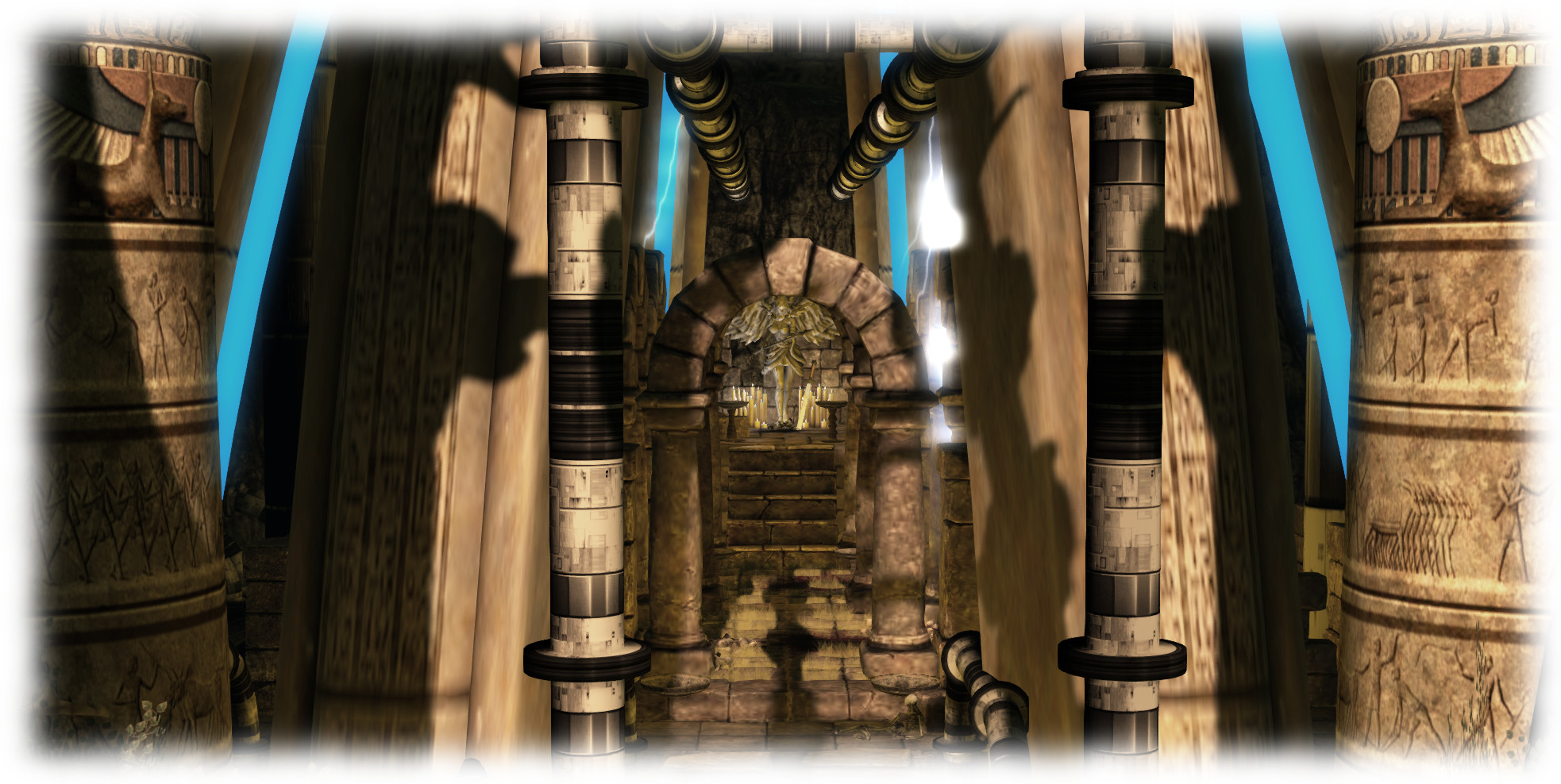
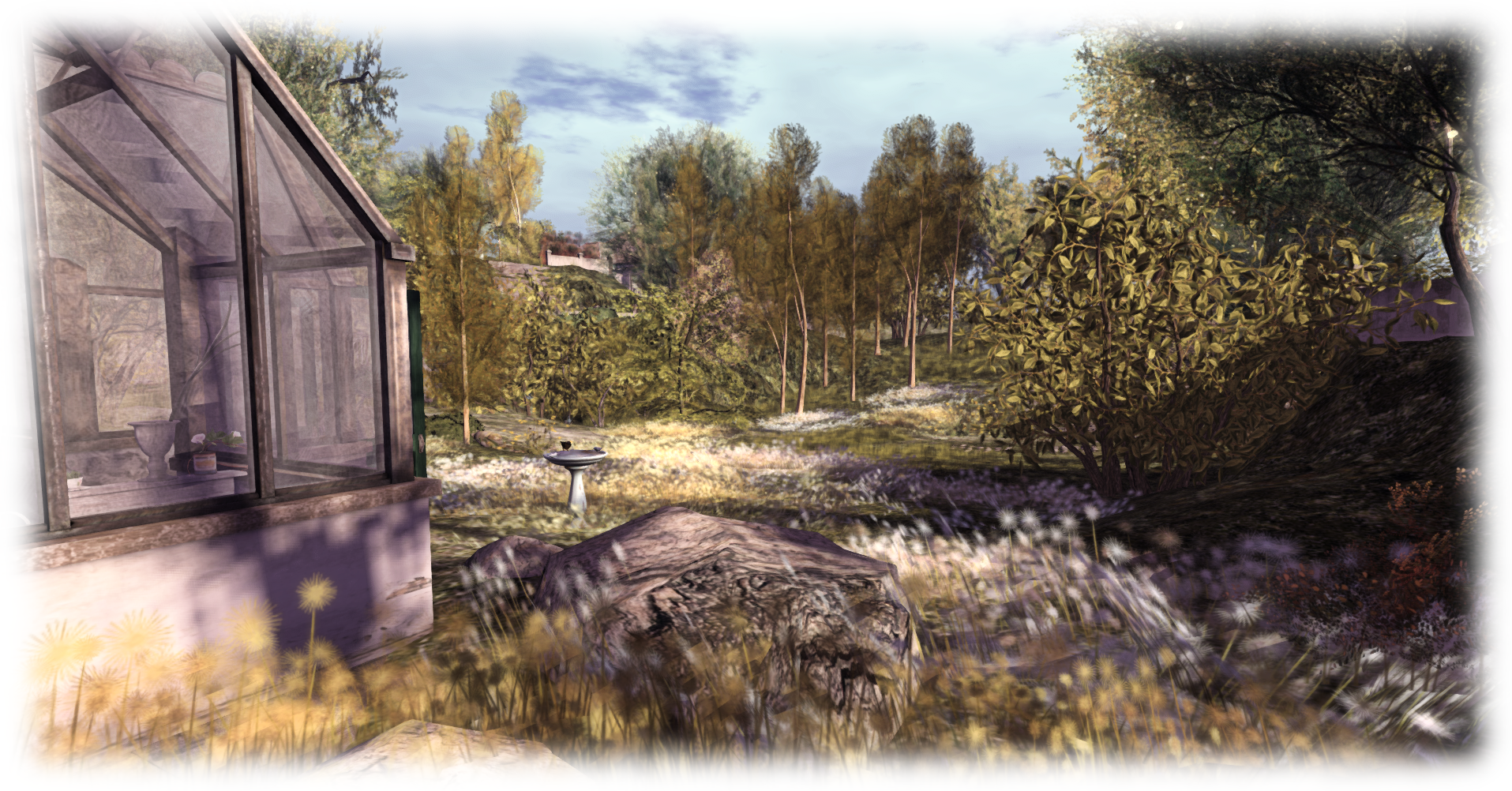
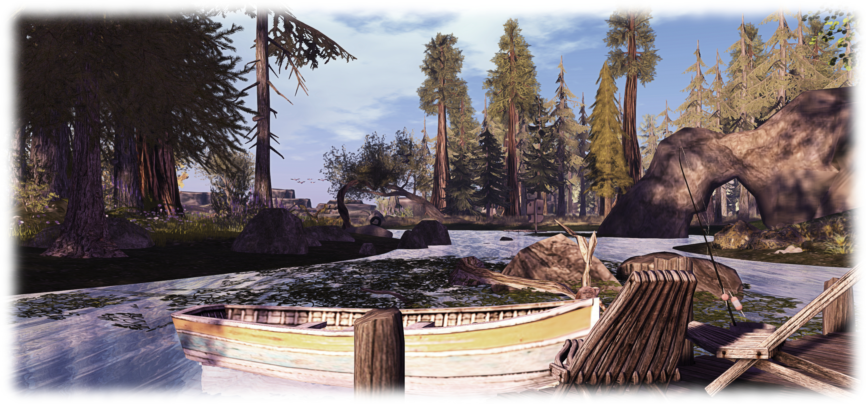
Covering the regions of Sarte and Hudhufushi, the Sanctuary has always presented visitors with an open landscape, rich is scenery and wildlife, and offering plenty of space for equine role-play. The new design, which I know Mz Marville had been putting a good many hours work into prior to the re-opening, still offers some wide open spaces for enjoying nature; however, these have been joined by a horse ranch / farm as well, presenting even more of a mix of environments and landscaping.

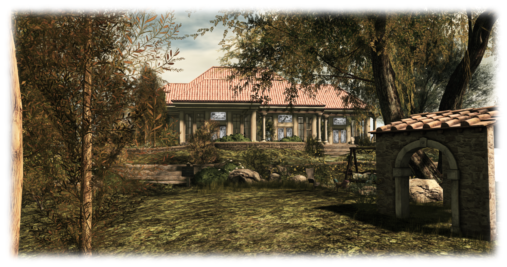
From the landing point, located close to the boundary of the two regions, visitors can set out to explore on foot or, if they prefer, on horseback, using the rezzer system located alongside the barn straddling both regions, and which offers a venue for live events. Of the two regions, Sartre continues to offer open spaces where horses and other animals can roam, while Hudhufushi offers the ranch / farm environment. Here can be found a large stables, which form a part of a new project Mz is working on, which I’ll likely be covering come April.

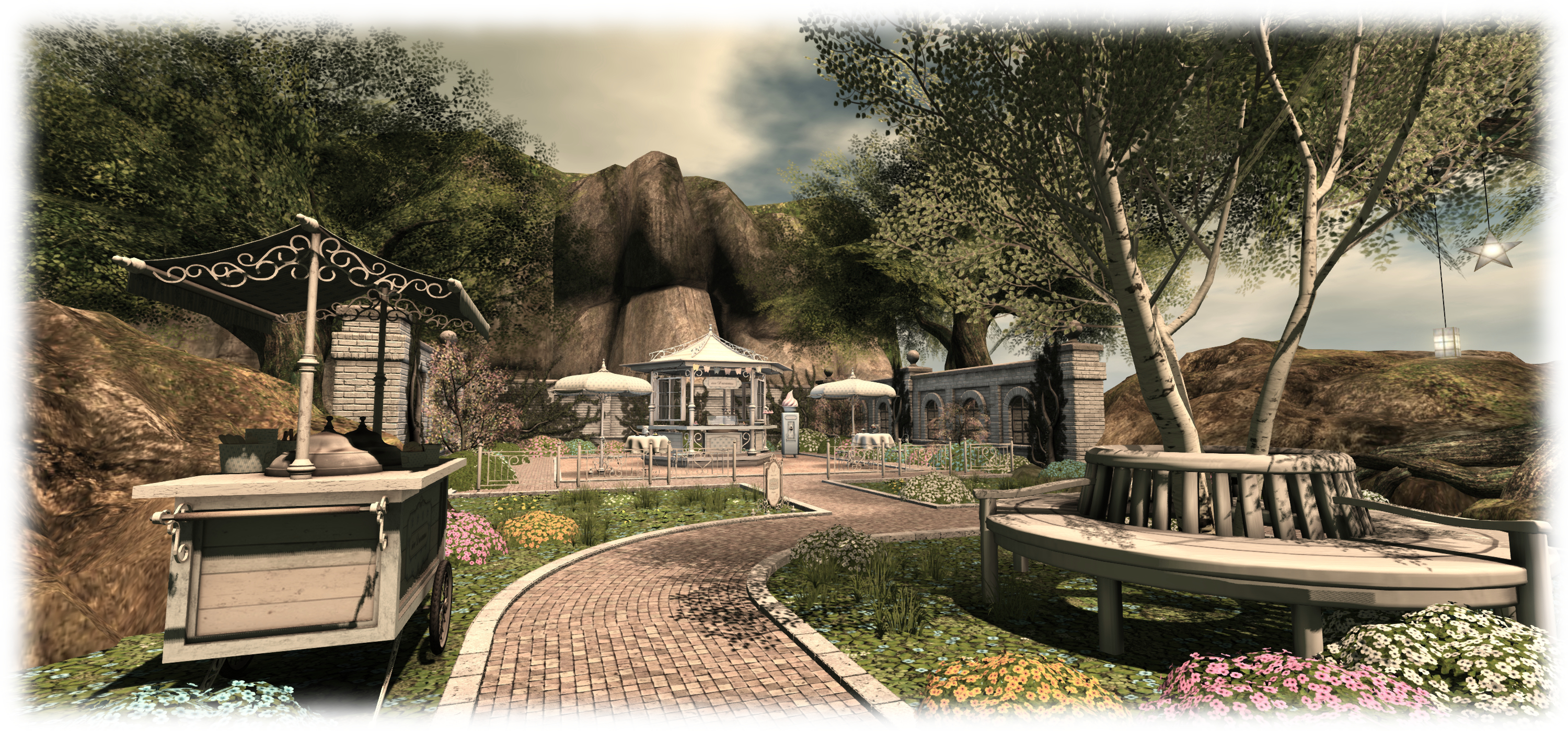
Follow the track beyond this, and you’ll come to a field where tractors are ploughing, crops are growing and, across the furrows, another barn stands, offering shelter for pigs and cattle. Above this, atop a low plateau, sits an orchard where apples are waiting to be picked.

Matoluta Sanctuary, Sartre; Inara Pey, March 2015, on Flickr Matoluta Sanctuary (Flickr) – click any image for full size

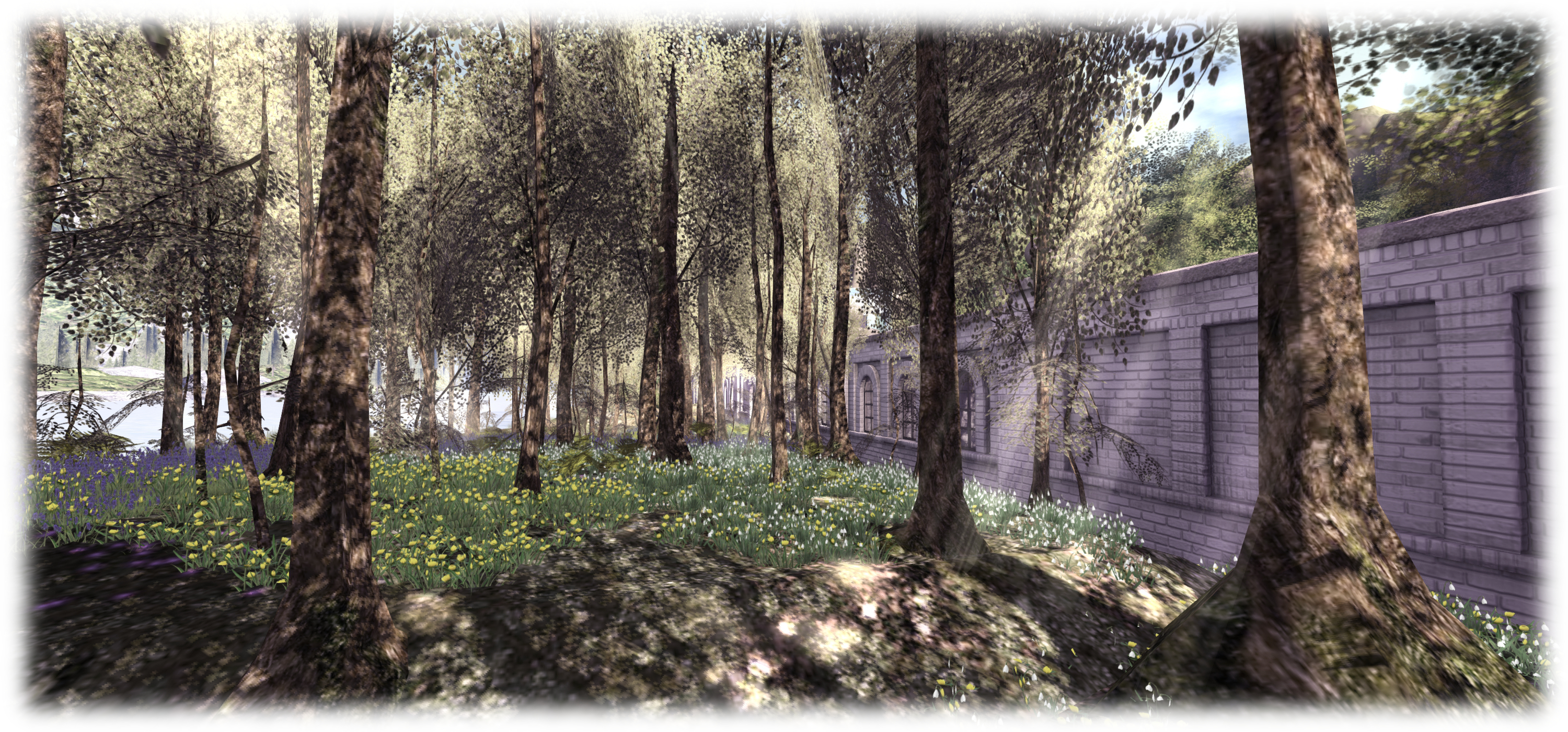
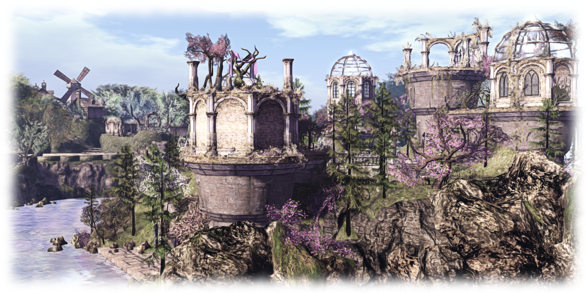
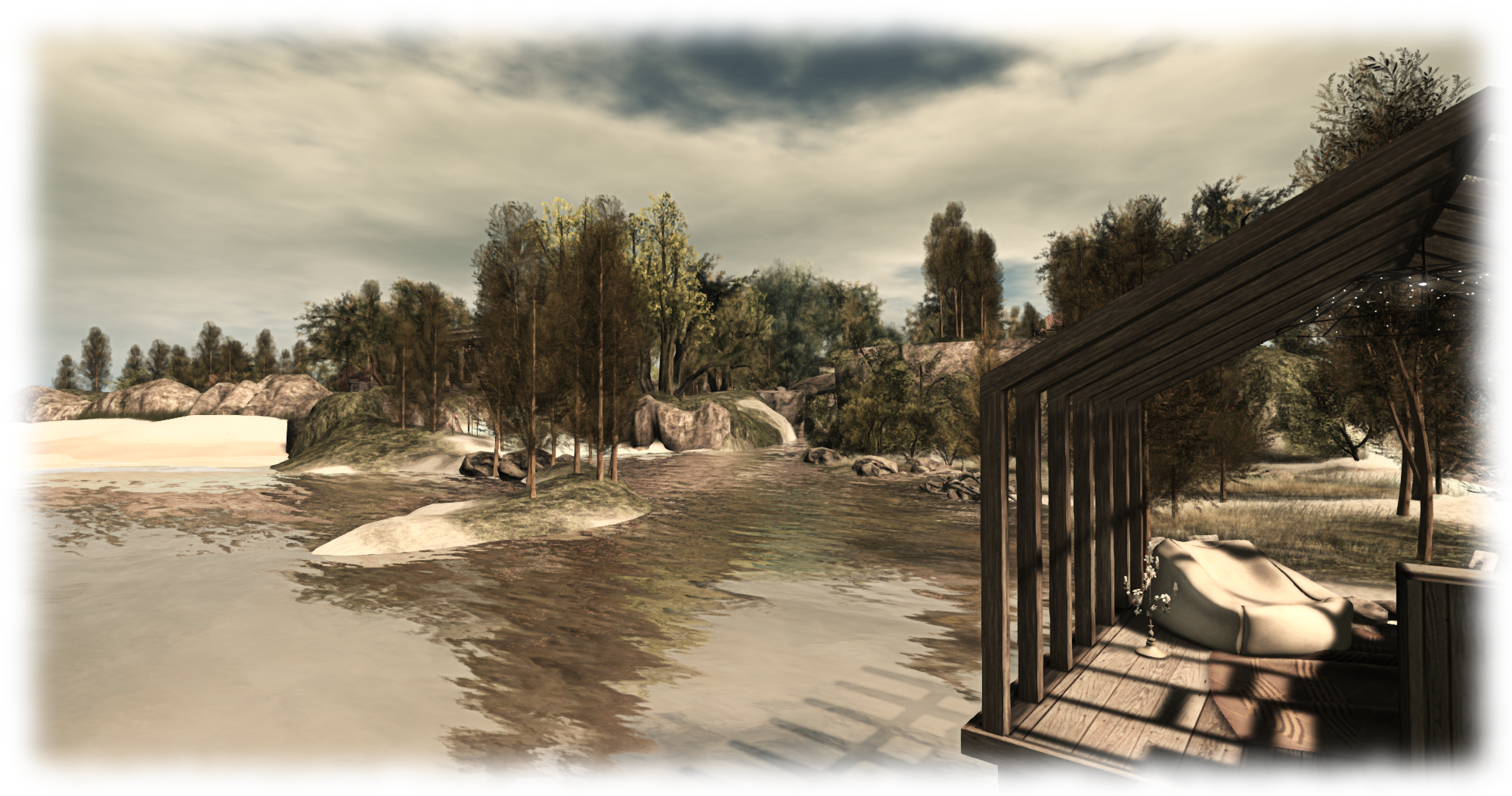
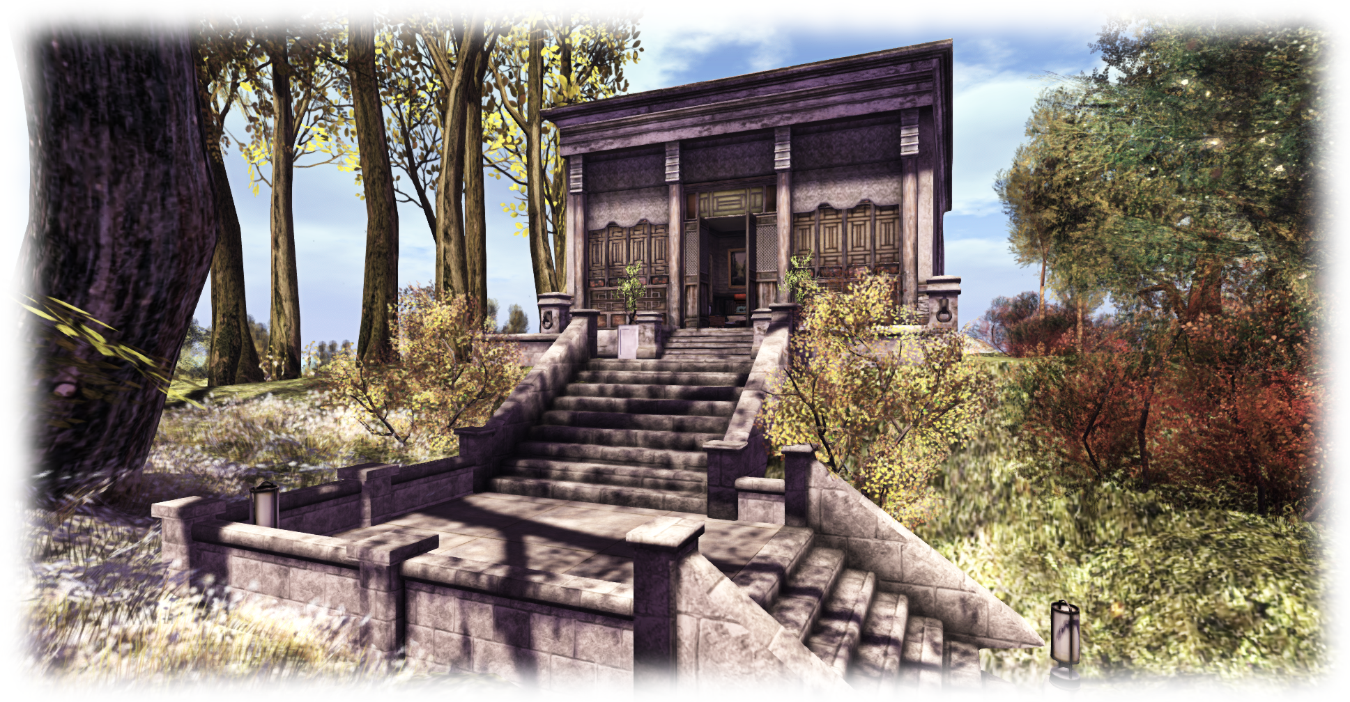
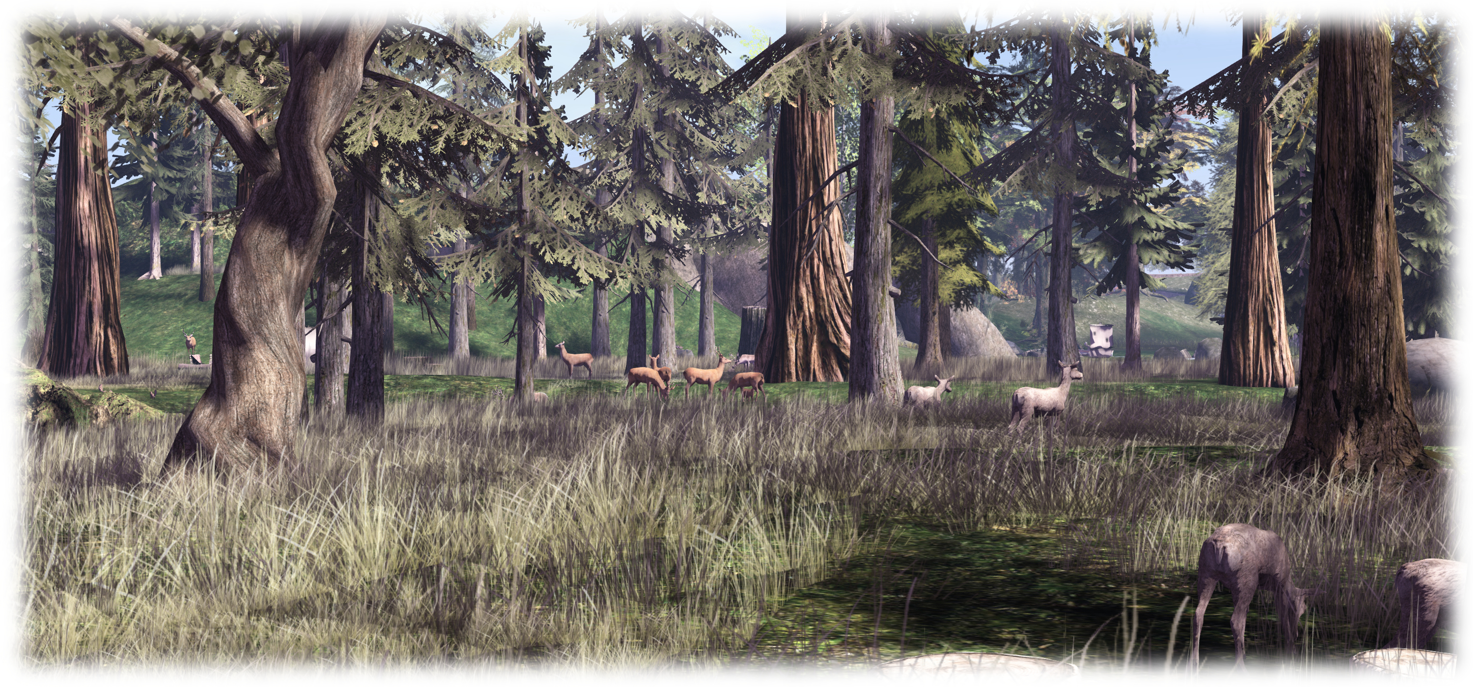
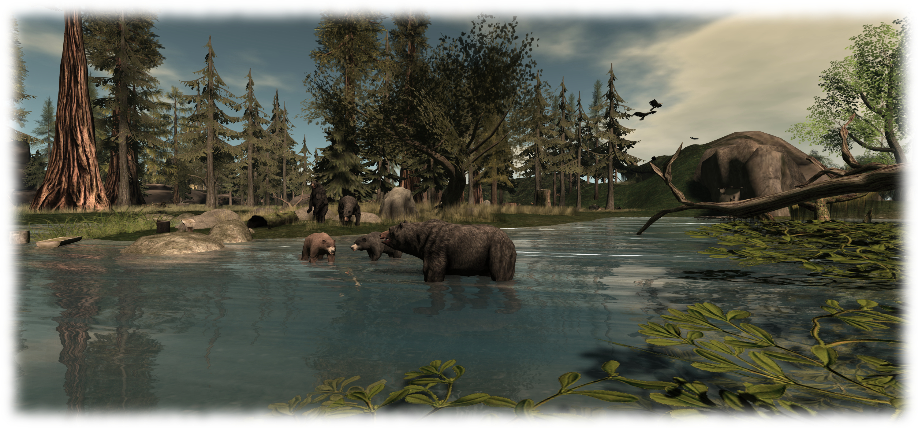
Around to the north-east of Hudhufushi, the land become wilder, blending into Sartre’s landscape of grasslands, winding rivers, tall trees and rugged, rocky outcrops; a place where deer roam, sheep graze, bears fish and eagles soar; thus many of Matoluta’s familiar motifs can be found, but located in a new environment. There is a private home located in the south-east corner of Sartre, but otherwise the entire region is, like Hudhufushi, free to roam.

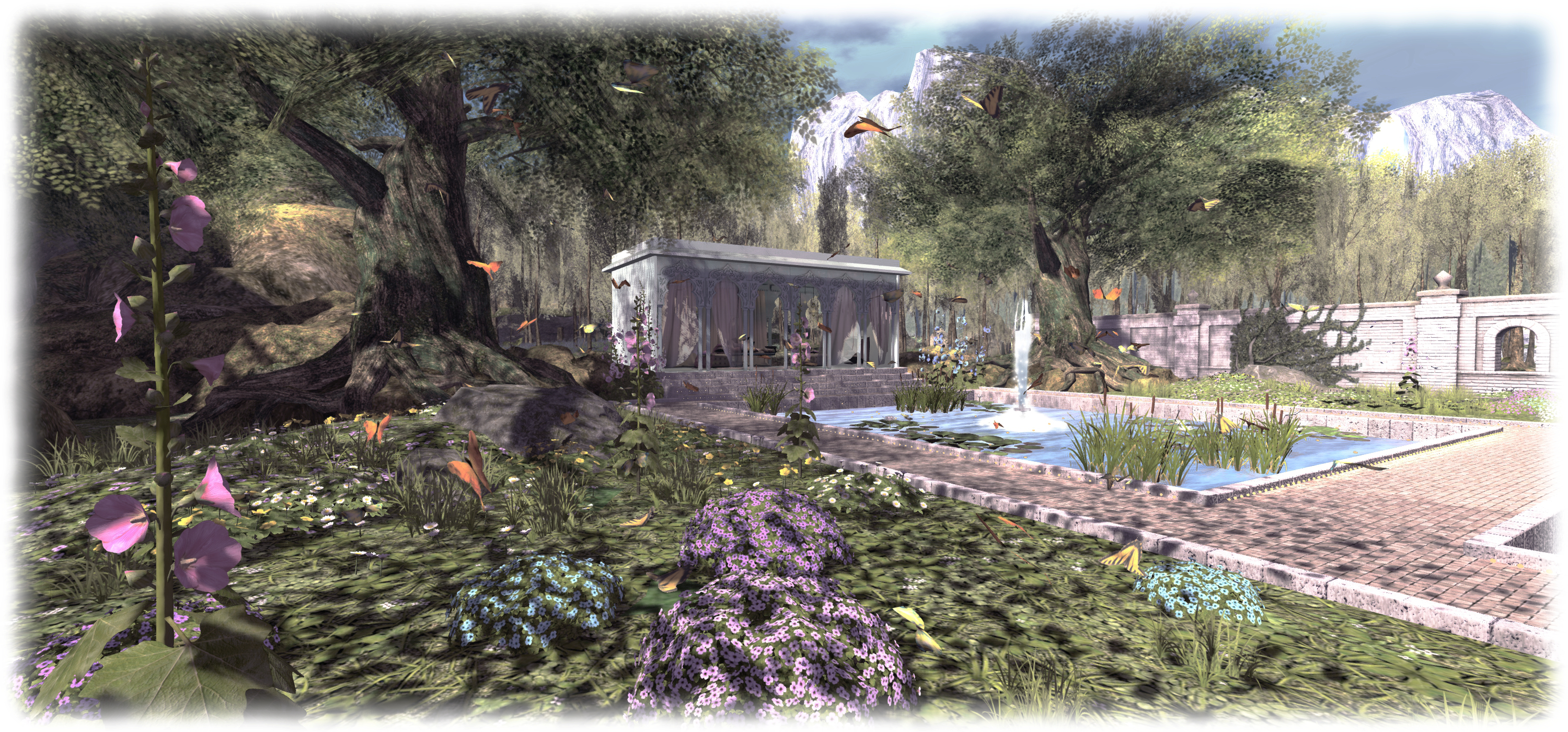
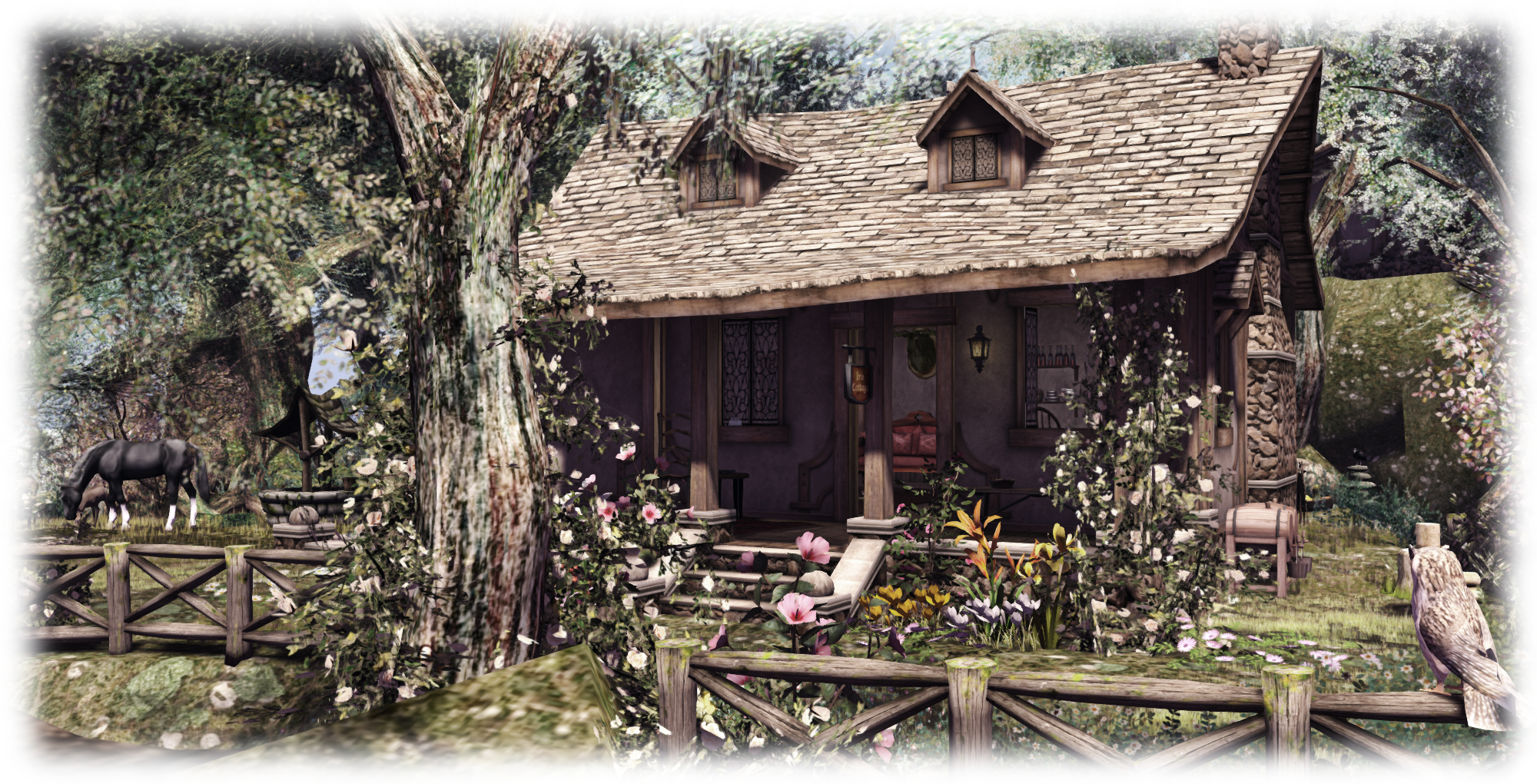
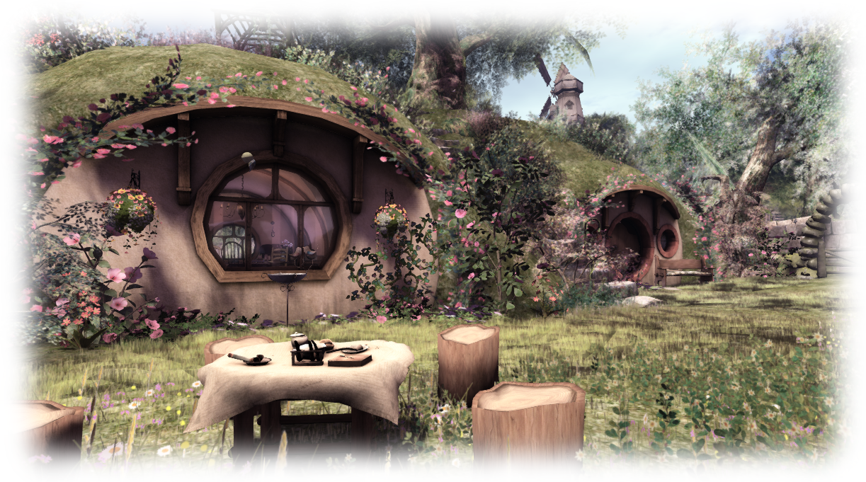
Throughout both regions there as numerous places to sit and relax – camp sites, tree houses, and so on, and plenty of opportunities for photography, including posed selfies in a hot air balloon or astride a pack-laden horse. Those who aren’t so keen on getting around on horseback can find a bicycle rezzer at the edge of the track in Hudhufushi, and can thus pedal their way around places.

Matoluta Sanctuary, Sartre; Inara Pey, March 2015, on Flickr Matoluta Sanctuary (Flickr) – click any image for full size

To mark Matoluta’s re-opening, a photo contest is once again being run, although time is growing short for entries – all of which must have been received by April 1st.  On offer are three prizes of L$750 apiece. Thus wishing to enter should submit up to two photos of the Matoluta regions to the Matoluta Flickr group. The photos must have the region SLurl in their descriptions, but that’s the only requirement. Pictures can be landscape or portraits, although entrants are encouraged to display a love for nature and focus on awareness for the preservation of wild horses.

Related Links

Caladan: tranquility in an Indian garden

Caladan, Forever Dreams; Inara Pey, March 2015, on Flickr Caladan (Flickr) – click any image for full size

Morgana Carter alerted me to Caladan, a stunning garden build by Antinéa (Antinea Torok), after she spotted Goizane Latzo’s photos of the garden over on the Bitacora blog. Although intended to showcase Antinéa’s parcel and sim design skills, the garden is open to visitors as a place to visit, presenting a beautiful and tranquil setting to be explored and enjoyed at leisure.

The arrival point, to one side the the parcel and sitting atop a small plateau area, offers seating and refreshments for visitors, with a small ice cream kiosk and accompanying trolley, making it a delightful little meeting place it is own right. However, a paved footpath leads the way down from it, inviting visitor to descend and explore, offering a view across open water to a off-sim extension as they do so, its position giving the impression that one is looking out over a broad, slow-flowing river, bordered on the far bank by high cliffs and foothills, tall waterfalls dropping down their flanks.

Caladan, Forever Dreams; Inara Pey, March 2015, on Flickr Caladan (Flickr)

Continue onwards along the path and it gives way to a grassy steps, leading down to a waterside walk which gracefully arcs between the river and a wooded copse filled with the colour of summer flowers, a tall grey stone wall just beyond it, hinting at something yet to be discovered.

Follow the path as it curls around the copse, and it will bring you to the wall – or more correctly, to a heavy wooden door set into the wall. Beyond this lies a beautifully designed garden, a place which could have been lifted from India or perhaps Sri Lanka, such is its design. As you enter, to one sits a tall blue-walled house, and to the other, facing the house, a cool summer pavilion. Long pools of water with tall fountains lie between the two. Footpaths, gently lit by tiny lights set into their bounding kerbs, offer the way around and between the pools and link house to pavilion.

Caladan, Forever Dreams; Inara Pey, March 2015, on Flickr Caladan (Flickr)

The detail here makes Caladan a delight to the eye; flowers bloom, peacocks strut, butterflies circle over flowers and sunlight slants its way through the shade of trees to one side of the garden, opposite the wall, where the ground rises sharply beyond, providing a natural barrier to the rest of the world.

This is a place not only to be seen, but savoured. Birds sing, the splash and hiss of fountains their accompaniment, while the summertime look and feel becomes a balm which encourages relaxation, be it within the pavilion or inside the coolness of the house (which is open to the public).

Caladan, Forever Dreams; Inara Pey, March 2015, on Flickr Caladan (Flickr)

Featuring content and designs from a number of designers and merchants, and with plenty of opportunities for simply sitting and relaxing (or cuddling) as well as for photography, Caladan offers a tranquil respite from the hustle and bustle of Second Life; you can even partake of a little yoga to help cleanse mind and spirit while visiting!

Related Links

Caladan (Rated: Moderate)

Returning to a Second Life watercolour

The Trace Too; Inara Pey, March 2015, on Flickr The Trace Too (Flickr) – click any image for full size

Almost a year ago, I finally got around to blogging about Kylie Jaxxon’s delightful homestead region, The Trace, having featured it a number of times in snapshots without actually writing about it. At the time, the region was presented as one of the most extraordinarily natural reaches of coastline I’ve seen in Second Life; so much so that while blogging, I referred to it as a watercolour, such was the beauty of the design and presentation.

Unfortunately, health matters intervened, forcing Kylie to abandon The Trace at the end of 2014 for health reasons; but there is no unhappy ending here, rather the reverse. Kylie is once again focused on Second Life, and she has once again been putting her eye and talent to work on designing a new region. This is called, appropriately enough, The Trace Too, and also fittingly, it once again presents a stunning coastal landscape, echoing the spring glory once seen at The Trace. Which is not to say it is in any way “just” a reproduction of the original’s appearance from a year ago; far from it!

The Trace Too; Inara Pey, March 2015, on Flickr The Trace Too (Flickr) – click any image for full size

The Trace Too offers visitors a splendid beach area, the tide apparently in a state of retreat  leaving the wet sand exposed under a spring afternoon’s sun, and in places still waterlogged. A lone wooden pier rises from the edge of the receding water, reached by a series of heavy wood logs to which planks have been nailed to form crude bridges over the more permanent pools of water left in the sand.

Behind these sandy flats, the island proper rises, slopes protected from any ravages from  the sea by huge boulders and rocks. Flat-topped, the island is home to a row of beach houses and a small lighthouse, the sand around them sprinkled with tough grass and a gentle tide of bluebells that surge and sway in the breeze. A path cuts through the flowers, running down to another beach which stretches away toward distant waters, the sand here dry and fine, a small caravan park testament to the fact the sea doesn’t encroach here.

The Trace Too; Inara Pey, March 2015, on Flickr The Trace Too (Flickr) – click any image for full size

With the surrounding offshore islands, it’s not hard to imagine this to be somewhere on the New England coast; indeed, with a little more grass to cover the ground, I could well imagine it being somewhere on the Scottish coast, looking out over the waters of the Atlantic at some of the inner islands. As it is, while walking the beach, I was put in mind of the long summer time walks I’ve enjoyed along the sands below Bambrough Castle in Northumberland, even if large offshore islands are not common in the waters of the North Sea there…

There are plenty of places to sit to be found throughout the region, all of them offering calming views of the sea, and many to be enjoyed as a group as well as individually or as a couple, making The Trace Too an ideal rendezvous when meeting friends. Rezzing is open for those wishing to pull a few props out of their inventory for photography, but do please remember to pick things up after yourself! Should you enjoy your visit, please do consider showing your appreciation for Kylie’s work through one of the tip cans which can be found at various points across the island.

The Trace Too; Inara Pey, March 2015, on Flickr The Trace Too (Flickr) – click any image for full size

As you may gather, The Trace Too is wonderfully evocative and atmospheric, and definitely somewhere you’ll want to visit if you haven’t done so already. And when you do, please make sure to have local sounds enabled to catch the hiss of the tide and the plaintive cries of gulls, many of which can be found circling and gathering in the north-east corner of the region, and all of which adds further depth to the experience.

Related Links

Coming back to SL’s Omega Point

Omega Point, Nippon Koku; Inara Pey, March 2015, on Flickr Omega Point (Flickr)

Two of the most fascinating sci-fi  / fantasy builds in Second life for several years were those of Alpha Point and Omega Point, two adjoining regions created and looked after by Masoon Ringo and Sweetlemon Jewell. They were incredible builds, occupying the entire ground level areas of both regions, with multiple additional elements up in the sky.

Such was the beauty of the builds, I wrote about them in 2011 and again 2012, although I don’t feel my images ever really caught their true magnificence, and was disappointed to discover in 2013 that both had gone from SL. I also wasn’t alone in being enthralled with them – Honour McMillan always had been as well. So when she blogged that Sweetlemon was once again building in SL, Maya and I were immediately off to investigate.

Omega Point, Nippon Koku; Inara Pey, March 2015, on Flickr Omega Point (Flickr)

The new Omega Point is smaller than the original, covering a little over 11,500 sq metres of the region of Nippon Koku – but that doesn’t mean it’s any the less fascinating or engaging as the original; quite the reverse. Not only does the new build carry strong echoes of the original whilst also remaining entirely unique to itself, it also appears to offer the outline of a narrative.

Sweetlemon apparently describes the build as a dark fantasy model; Honour refers to it as sci-fi meets medieval. Both are accurate descriptions, but there’s also more here as well; giving it a kind of sci-fi meets middle Earth with a sprinkling of medieval and ancient Egyptian influences (the latter two may not be directly obviously without some exploration.

A work in progress at the time of writing, the build offers cathedral-like structures, both hewn from the living rock. The larger and most obvious of the two (you’ll have to search for the other 🙂 ), offers high, vaulted ceiling supported by great pillars carved with hieroglyphs. Stone fire bowls vie with electric blue lighting throughout this great chamber, where stone stairs climb slowly towards a statue of a warrior maiden. This route to her feet, though straightforward,  is nevertheless fraught with danger, as great lighting bolts periodically arc down from above, scorch marks and burnt remains testament to the unfortunate souls caught unaware by these powerful bursts of energy.

Omega Point, Nippon Koku; Inara Pey, March 2015, on Flickr Omega Point (Flickr)

Outside of this great structure lies more to see, centred on the entwined forms of an elven-like couple, carved in stone, but seemingly set within a stasis field. The plaza around this has been the scene of a bloody fight – possibly with the two horned beasts standing and snorting to one side, while overhead three  strange craft float.

Quite what this all means is up the the visitor to decide – but the narrative is there, ready to be woven into a story of your choice, and more is being added – at least for the present. A great row of towers guarding a walkway sprang up between my first and second visits.


Omega Point, Nippon Koku; Inara Pey, March 2015, on Flickr Omega Point (Flickr)

There are many elements in the build which resonate with the original Alpha and Omega Points, including several secrets within the build waiting to be found; one of which in particular will lead to more interesting discoveries, such as the second of the cathedral-like structures, this one with more of a medieval feel. As Honour mentions in her article, look for the stairs to find it.

If you are one of the many of us who were constantly fascinated by, and drawn to, the original Alpha Point and Omega Point, this is a build you’re likely want to visit. And if you’re someone who never had such an opportunity to see the original, here is a chance for you to delve into the imagination of Sweetlemon Jewell.

Related Links

Walking through The Shire

Armenelos, Calas Galadhon; Inara Pey, March 2015, on Flickr The Shire (Flickr)

In a hole in the ground there lived a hobbit. Not a nasty, dirty, wet hole, filled with the ends of worms and an oozy smell, nor yet a dry, bare, sandy hole with nothing in it to sit down on or to eat: it was a hobbit-hole, and that means comfort.

I first heard those words when lying in bed one evening whilst very little. They were read to me by the comforting voice of my father, and they opened the door to a world I’ve loved ever since, a place as rich and diverse as our own, filled with adventure, exotic peoples, terrible creatures, tales of heroics, love, devotion and darkness. A world called Middle Earth.

It’s a place familiar to many of us, not only thanks to the printed page, but also because it has been vividly brought to the silver screen by Peter Jackson’s six films. It’s a place often recreated in one form or another in Second Life, allowing us to share in Tolkien’s mythos and tales; And now we can even visit The Shire itself.

Armenelos, Calas Galadhon; Inara Pey, March 2015, on Flickr The Shire (Flickr)

A full region landscaped and designed by Circinae (Chocolate Aftermath), The Shire is not intended to be a replica of Hobbiton or any other locale within the Shire’s borders featured in the books. Rather it takes its inspiration from a range of elements from Tolkien’s world: hobbit holes, houses for Big Folk and builds decorated with a slant towards the elvish.

The result is a beautifully landscaped realm, offering plenty of photo opportunities as one explores. Note that role-play appears to be encouraged, focusing on Tolkien, while encompassing medieval and rural Celtic fantasy as well. However, do please also keep in mind that many of the houses, hobbit holes and elven towers are available for rent, and so may well be private residences;  signs are generally posted outside those that are rented, requesting people respect the tenants’ privacy. Those who might be interesting in renting any of the available parcels can do so via the little rental centre towards the middle of the region, nestled between the Crumbling Crow tavern and the windmill.

Armenelos, Calas Galadhon; Inara Pey, March 2015, on Flickr The Shire (Flickr)

Paths from the central village will help lead you around the region and down to the coastal areas and to the elven towers to the south-west. Facing this, in the south eat is a further wooded island in which sits The Gathering Stones, a place to meet and dance. Currently, these doesn’t appear to be a means by which this can be reached sans flying or teleporting, but as The Shire still appeared to be under construction when I visited, it might be that a boat rezzer has yet to be added – or I simply missed a more obvious route!

This is place where Big Folk and hobbits can mix easily, making it a sort of Bree-on-a-hill. The elven towers are slightly separate from the main village, but one would expect that anyway in Middle Earth; but that said the towers can be reached easily enough, and hobbit holes lay close by. I didn’t see any active role-play taking place while there,  but rather suspect that any which might occur is likely to be casual, and more about keeping in character with any tenants who may be about, rather than adhering to any set storyline.

Armenelos, Calas Galadhon; Inara Pey, March 2015, on Flickr The Shire (Flickr)

All told, The Shire is more than a pleasant visit – it is a joy to explore. I’m not sure what else is to be done prior to it being classified as “finished” (is any region ever truly “finished”, given how we can so easily tweak and change things to suit needs and wants?); but that shouldn’t stop you from hopping over there and seeing it today.

After all, if you have, like me, found J.R.R. Tolkien to be hobbit forming, you’ll probably feel quite at home in The Shire!

Related Links

Touring Tillicum Island

Tillicum Island; Inara Pey, March 2015, on Flickr Tillicum Island (Flickr) – click any image for full size

Tillicum Island has been designed specifically for photographers, and it shows. A full region, it is the work of Tinker Drew and her partner, Scott Yedmore, most of which is open to the public; a place where people can come and explore, take photographs and simply enjoy.

The landscape is a rich mix of sandy beach, wooded grasslands, rugged highlands and split by a deep gorge. Scattered across this landscape are a number of buildings, from a tall lighthouse standing atop a small headland in the north-west corner of the island, through to Scott’s and Tinker’s private home, located in the south-east corner. Central to these is a walled terrace, which forms the landing point for the region, gateways on two sides inviting visitors to start their explorations as birds chirp and sing from trees and benches, head cocked occasionally to watch human comings and goings.

Tillicum Island; Inara Pey, March 2015, on Flickr Tillicum Island (Flickr)

A path from one of the gateways offers passage out towards the tall finger of the lighthouse, branching before it reaches the natural stone bridge out to the headland, to offer a path onto the west-facing beach. An old brick and wood building sits back and slightly above the beach, offering visitors a place to sit either indoor our on the front terrace, while a sandy path lit by paper lanterns presents a walk out onto the low causeway that forms one arm of the channel which splits the land in two.

Leave the landing point terrace via the other gate, and there are a choice of possible exploratory routes, one of which will quickly take you up a set of steps to the back door of the building overlooking the beach, while another will take you up to the stone bridge spanning the rocky gorge splitting the land in two. Here, on the south side of the island sits Scott and Tinker’s private residence, as mentioned above; the one place on the island where there is a sign asking people to respect their privacy and not to trespass. This overlooks the rest of the headland, which open to the public as it falls away to the sea to the west, more steps leading down to a sandy bar, at the end of which sits a little wood-built bath house.

Tillicum Island; Inara Pey, March 2015, on Flickr Tillicum Island (Flickr) – click any image for full size

The southern highlands of the region offer a further terraced area, complete with an Edwardian folly and, for those who spot it, a way down into a small network of tunnels and caverns under the rocks. These can also be reached / left via a door overlooking further building on the north-east side of the island.

Opportunities for photographs exist right across the island, indoors and out, above ground and in the caverns. The landscaping is such that a wide variety of windlight settings can be used to great effect. With plenty of places to sit with friends or to spend time with someone close to you, Tillicum Island has a lot to offer visitors.

Tillicum Island; Inara Pey, March 2015, on Flickr Tillicum Island (Flickr)

Related Links