Can you help the East River Community in Second Life?

East River Community

Located on the mainland continent of Sansara, the East River Community (ERC) will this year celebrate its ninth year of operations in Second Life – although it can trace its roots as far back as 2006 with the MBYC, one of the first sailing clubs in Second Life – and sailing remains very much a part of the ERC’s activities.

Comprising a federation of groups, the intent within East River has always been to create an open, collaborative and convivial space for residents and businesses, nurturing the growth of relationships, friendships, personal projects, and encouraging collaborative activities  with both members and non-members of the community.

ERC has always been particularly engaged in fostering cultural activities and in enhancing the Mainland experience by demonstrating an attractive residential and commercial environment can be created purely through resident action. Newcomers are always welcome to explore the community’s regions, which offer a wide variety of public spaces including art galleries, cafés horse riding tracks, entertainment venues, nautical events, a harbour and airport for boating / flying enthusiasts and, for those wanting to get their first taste of water-based activities, a variety of free-access zero-cost boating.

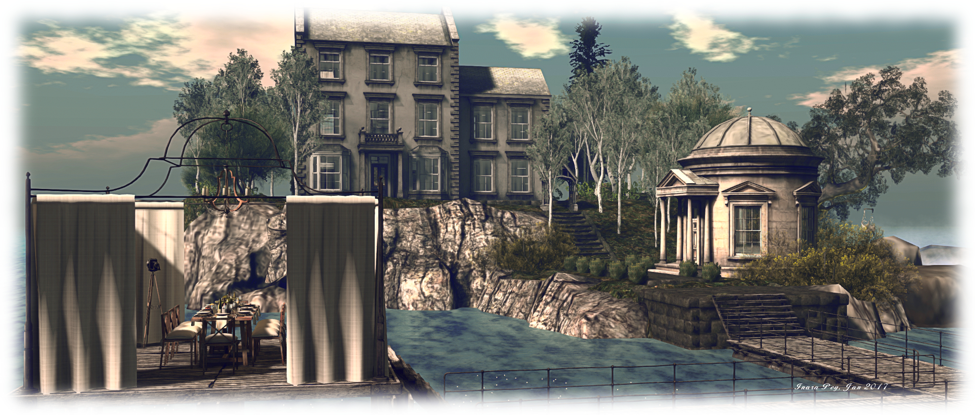
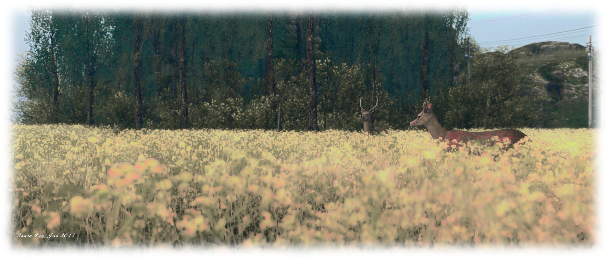
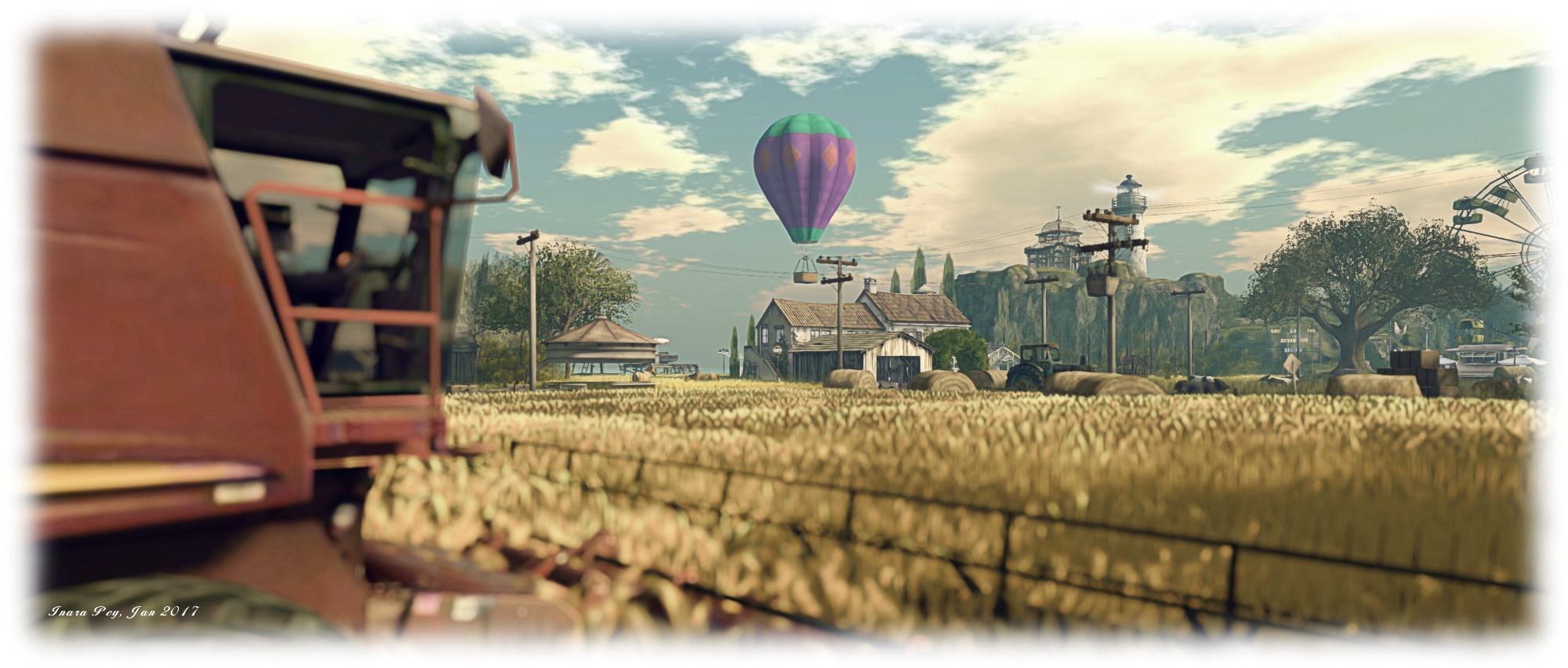
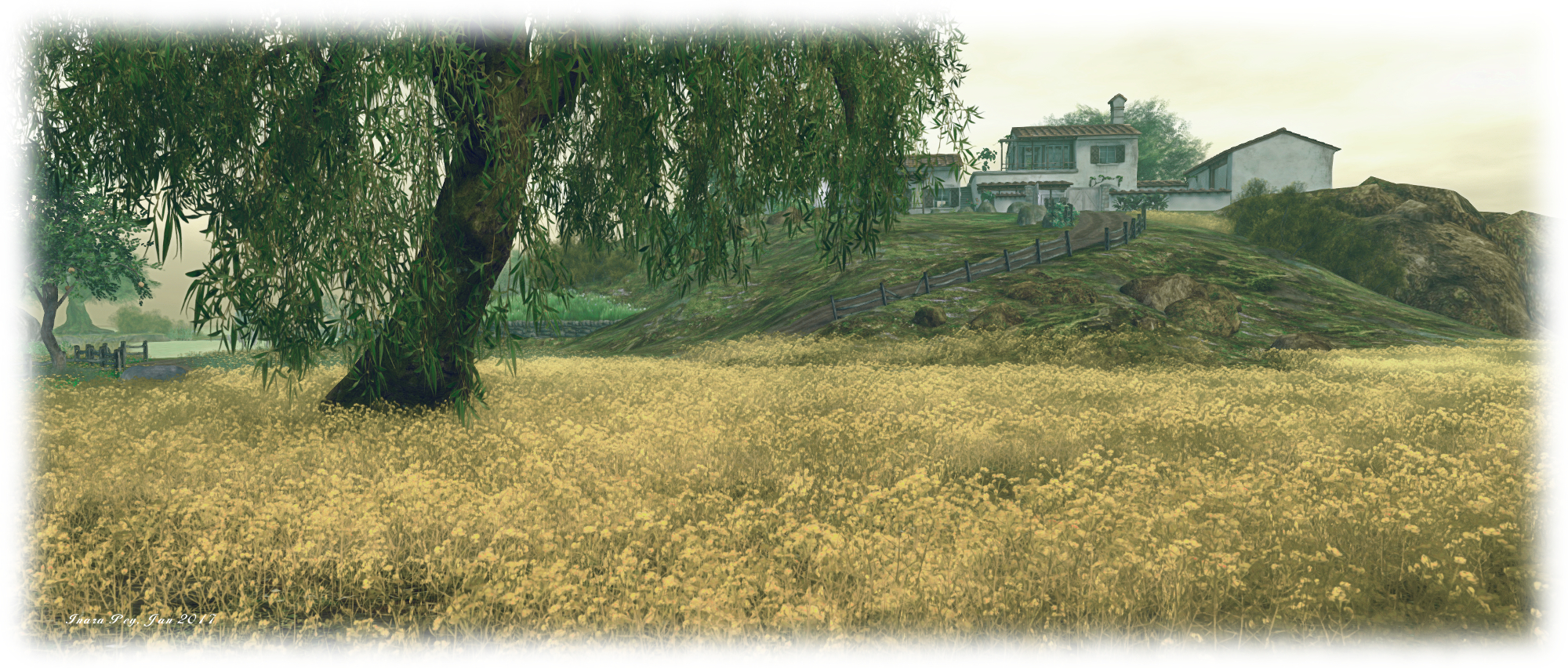
Arriving at one of East River Community's airfields
Arriving at one of East River Community’s airfields

One of the mainstays of ERC has been its founder, Indigo Mertel – who has also contributed immensely to the Second Life community as a whole through a wide range of user-focused activities from establishing and building East River through to her work in curating and disseminating Second Life news form a wide range of notable sources, to the benefit of all users.

Indigo Mertal by Paola Tauber

Not only did Indigo found East River, and has been active within the community throughout its live and growth, she has been responsible for holding and managing six of the community’s regions, including meetings much of the financial cost in maintaining them. She recently contacted me with some sad news – and with her permission, I’m reprinting it here in the hope that one or more people might be able to step forward and help.

“I’ve been contributing to the East River Community with land for years,” Indigo revealed in a note she passed out to bloggers on Sunday, February 5th. “But many things have changed in my physical life these past months, and I am now in the sad position of no longer able to contribute to the community as I have done in the past.

“I’ve procrastinated this decision for a long time, because I was very uncomfortable with the idea of harming or breaking a community many have put so much effort into helping to build. But eventually, I had to come to a decision.

“We all want the East River Community to survive, and so I’m putting out a call to everyone, both within ERC and beyond, in the hope we can find donors willing to offer tier to the group so that East River can continue to be a vibrant part of Second Life. And with this in mind, I intend to continue covering the costs involved for a limited time, so that those with a desire to help ERC can contact me directly.”

If you are in a position to help ensure ERC continues as we know it today, regardless of whether you are active in the community or not, please contact Indigo in-world.

You can find out a lot more about ERC by visiting the ERC website, and by watching a Designing Worlds special on the community, which I’ve embedded below.
 

Links

Navigating Natural Falls in Second Life

Sol Farm, Story of Infinite; Inara Pey, January 2017, on FlickrNatural Falls V

I was drawn to Natural Falls V in part after seeing Loverdag’s images of its predecessor, Natural Falls IV, at the end of last year. I didn’t get to see that iteration of the build. so when I saw the newest design in the Destination Guide, I took a rapid leap over to see for myself.

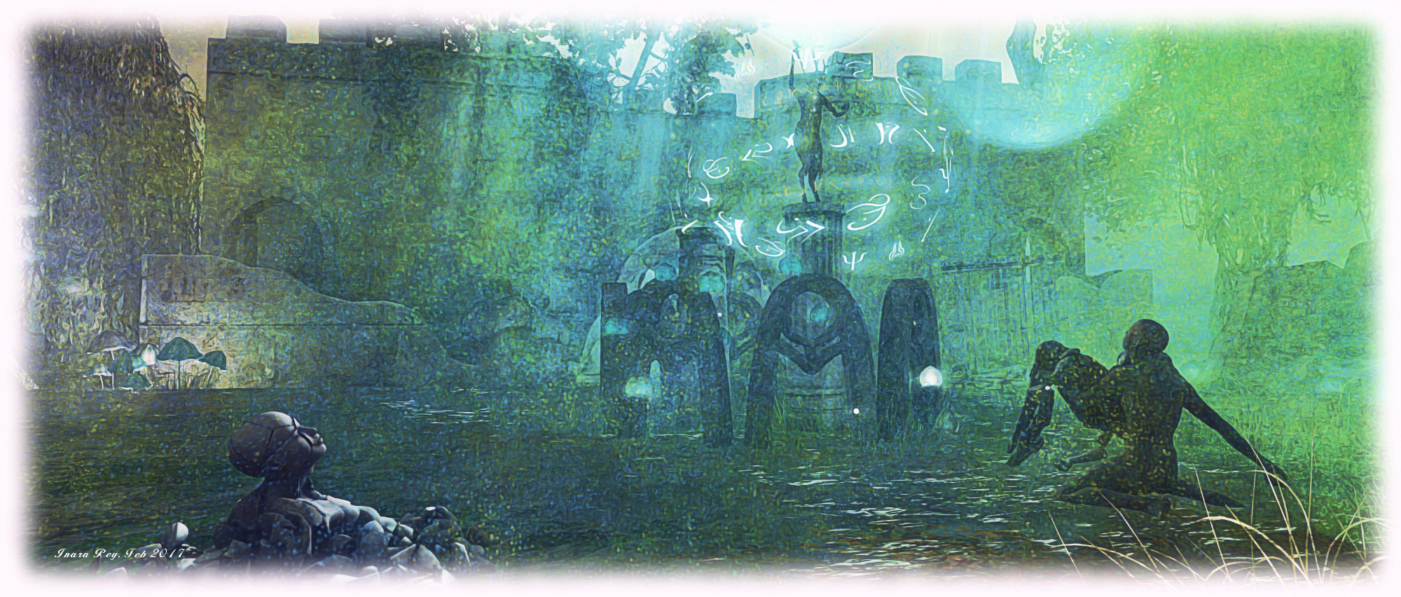
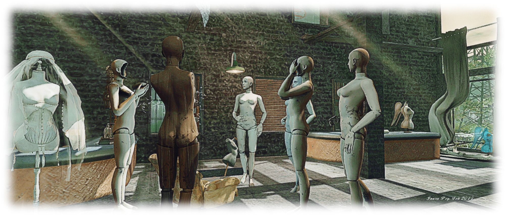
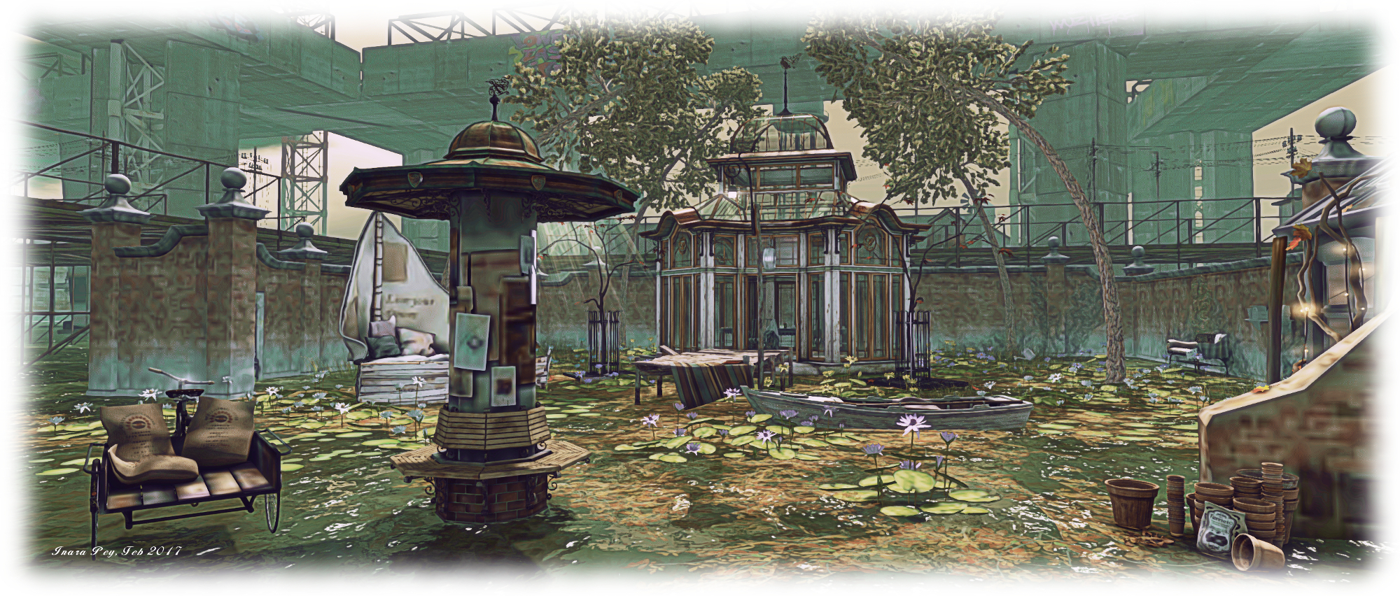
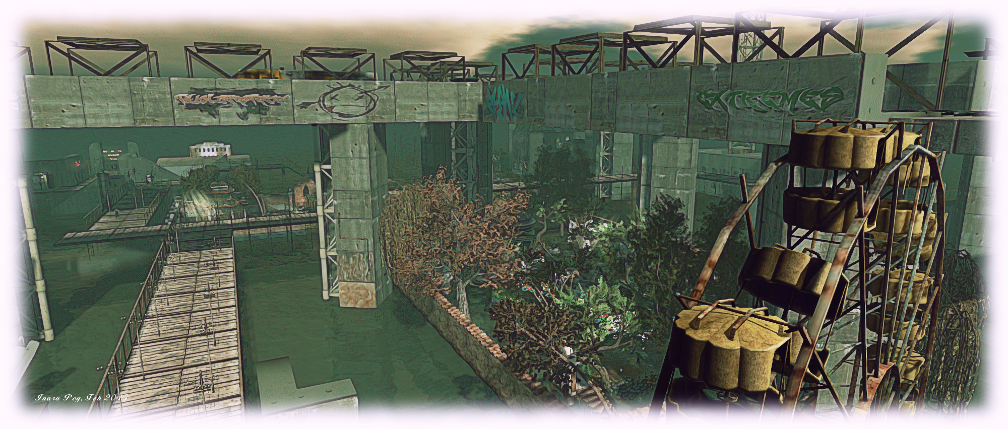
Natural Falls is the work of Dann (DannChris), who appears in Second Life as a highly industrious hamster with talent for, among other things, intriguingly descriptive prose. “Natural Falls,” he notes, “is located in an abandoned, flooded metropolis slowly decaying under a derelict, elevated railway.”  It’s an evocative description, and the build – which also sees Natural Falls located in a new sim – more than lives up to it while once again amply demonstrating Dann’s skill in increasing a captivating, atmospheric environment rich in content and potential narratives.

Sol Farm, Story of Infinite; Inara Pey, January 2017, on FlickrNatural Falls V

Visitors commence their time in the region at a boardwalk landing-point. This offers a variety of routes around the flooded setting, some of which end in stairways leading down to the water. Above this, seated on tall steel and concrete piers sits the elevated railway. From above, board walk and railway divide the region into an uneven grid-like pattern, as if sectioning this water-claimed city as it sits beneath a brooding sky complete with low-lying clouds.

Blocky, cement-like walls occasionally sit alongside the boardwalk, their many glass-less windows staring over the failing remnants of what was once a thriving urban hub, now reduced to deserted houses, shops and industrial units rising from the slow-moving waters. The detritus of a vanished community litters the flooded streets, and everything at first glance appears to be trapped in the gloom and grey of neglect and desertion.

Sol Farm, Story of Infinite; Inara Pey, January 2017, on FlickrNatural Falls V

But – look again, and you’ll realise there is more to see than you may have thought when arriving. Colour sparks across the region, be it from the broken windows of a long-empty shop, the bloom of flowers in a flooded garden, or the splash of graffiti on a wall. While in the distance sits the beckoning glow of many-hued lights. Once seen, this draws visitors to a mystical corner, a world of almost otherworldly allure, suggesting that that even amidst this urban decomposition, something  quite beautiful survives.

This blending of art and colour within the wider setting of decay and loss encourages exploration. Nor does everything reside outdoors as well. Thus, time and a careful eye are recommended as a part of any visit, lest something is overlooked along the way.

Sol Farm, Story of Infinite; Inara Pey, January 2017, on FlickrNatural Falls V

And when you feel you’ve toured the ground levels enough, remember to check the teleport mirror by the landing point. It’ll carry you up to a haven of light and colour above the clouds, a little island of cosiness to be enjoyed alone or with someone special.

Natural Falls V continues what has been – from the images I’ve seen on the Flickr stream – a fabulous unfolding story, rich in content and presentation, and most assuredly well worth a visit.

Sol Farm, Story of Infinite; Inara Pey, January 2017, on FlickrNatural Falls V

SLurl Details


A day at Sol Farm in Second Life

Sol Farm, Story of Infinite; Inara Pey, January 2017, on FlickrSol Farm – click any image for full size

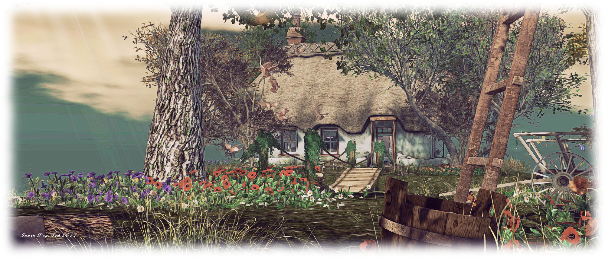
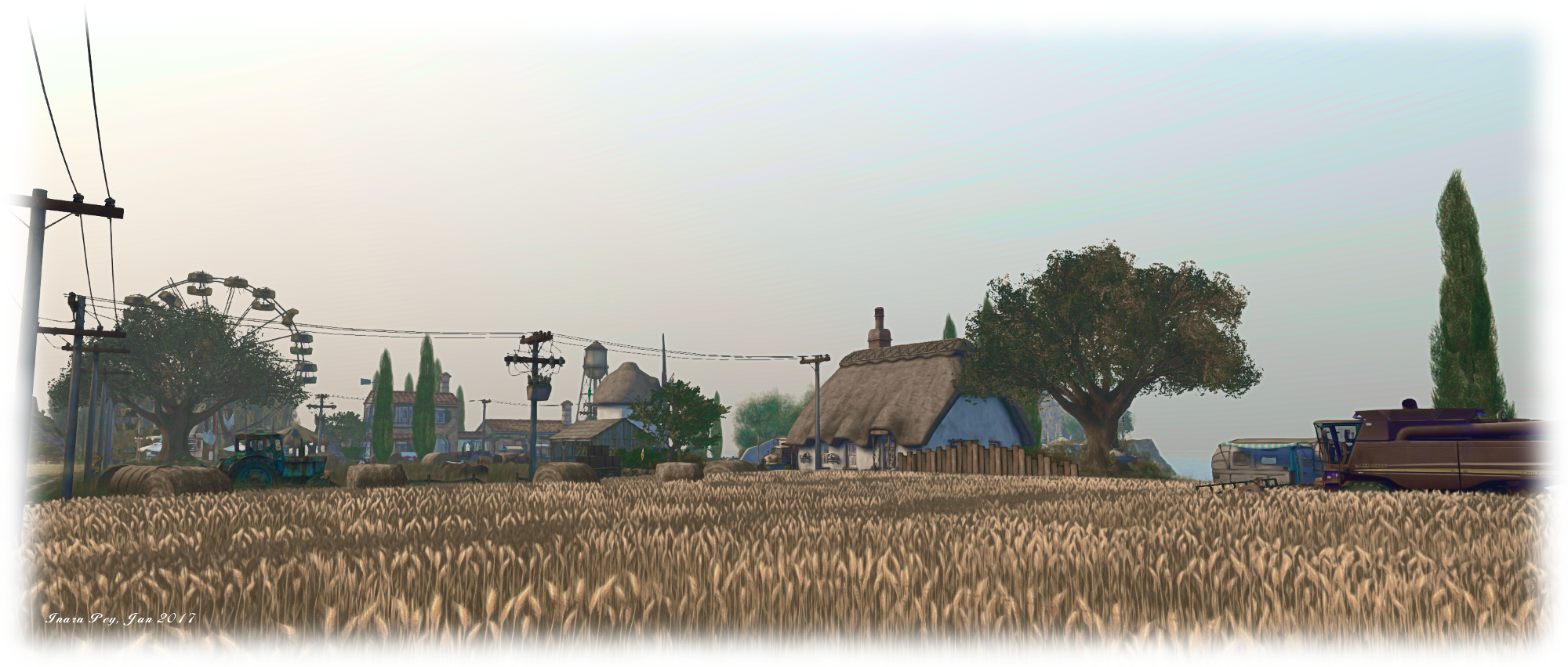
Sol Farm, Story of infinite, is a gorgeous, rural build by Show Masala, which really has to be visited to be appreciated. Given this Full region is almost exclusively built on the one level, with only two significant changes in elevation, and a good portion of it is flooded, it looks and feels far bigger than the single region it occupies.

This is a largely rural setting, centred around Sol Farm, complete with thatched farmhouse, fields of crops and livestock, outbuildings, and many of the mechanical accoutrements of a working farm. However, there is much more here than may at first be apparent. South of the farm sits a house with decidedly Mediterranean looks, complete with whitewashed walls and shutters for the windows. While it may at first seem to be another farm, flanked as it is by fields, the terraced pool behind it overlooking the region’s encircling beach suggests it is perhaps a holiday home.

Sol Farm, Story of Infinite; Inara Pey, January 2017, on FlickrSol Farm

The Mediterranean feel continues westward as well, where a Tuscan style villa can be found, also overlooking the beach on one side. This, however, would appear to be a working farm, with livestock grazing in the grounds, produce from the garden on sale on tables and trestles and a tractor parked to one side. This smaller farm has a slightly incongruous neighbour: a long-deserted and broken fun fair. It strikes a different chord to the farmlands, without actually appearing out-of-place. A little open-air café sits within it, served by a converted tram sitting on tracks leading to a disused tunnel.

It is the flat-topped hill over the tunnel which offers one of the regions two elevated points. It is the home to a squat lighthouse as it keeps a revolving set of eyes on both the land below it and the sea surrounding it. A set of stone steps offer the easiest route up to it, while it the graceful form of a glass pavilion keeps it company.

Sol Farm, Story of Infinite; Inara Pey, January 2017, on FlickrSol Farm

North of all of this sit two islands. The first is connected to beach by a wooden board walk, which invites visitors out to the island. Two decks can be reached from the mid-point in the broad walk. The first provides space for a carousel, perhaps rescued from the old fun fair and restored; the other offers an over-the-water dining spot ready to entertain a small party. Beyond these sits a tall house with a folly guarding the steps to its gabled gate. While unfurnished, it’s hard not to picture this as an upmarket bed and breakfast, offering a unique dining experience down on the board walk.

The second island is entirely isolated from the rest of the region. Designed by SUNAO (hasunoahana) and YURU (yururikaze), it is in fact private property, and not open to casual visitors. It sits across a narrow channel from another of the region’s little incongruities: a small Japanese village, complete with Torii gates and festooned with lanterns. While this may also appear to be a separate environment, a rocky wall sitting between it and the farm fields, it is in fact a part of Show’s landscape, and can be freely explored.

Sol Farm, Story of Infinite; Inara Pey, January 2017, on FlickrSol Farm

South of this, sitting behind an old stone wall, is an open space of wild grass and trees, with a rocky pond. Held as a separate parcel by Powder Grau, this also appears open to explorers,  seamlessly blending with Show’s landscaping and the surrounding beach.

Nor is this all. Throughout the region are lots of little touches and spaces which both encourage wandering and offer places to tarry, be they the little coffee shops, or the picnic blankets or shaded and open cuddle spots. Should you prefer flying to walking when exploring, you might want to touch the barrel in the back of the little truck next to the coffee shop I’ve used for the SLurls in this article; it’ll give you a soap-bubble to fly around in. And do keep an eye out for the occasional tornado which seems to appear in the fields!

Sol Farm, Story of Infinite; Inara Pey, January 2017, on FlickrSol Farm

Caitlyn and I enjoyed our time visiting Sol Farm – and once again, our thanks to Shakespeare (SkinnyNilla), for the pointer. Should you decide to visit and find you also enjoyed your time there, please consider making a donation towards its continued presence in Second Life, via the tip urn at the coffee shop I’ve used for the SLurl in this review.

SLurl Details

  • Sol Farm (Story of Infinite, rated: Moderate)

The gentle elegance of Whimberly in Second Life

Whimberly, Whimberly; Inara Pey, January 2017, on FlickrWhimberly – click any image for full size

Whimberly, a homestead region designed by Staubi (Engelsstaub), is another location Caitlyn and I were introduced to through Shakespeare (SkinnyNilla). He, along with his partner, Max (Maxie Daviau), has a knack of finding beauty spots in Second Life, and Whimberly is certainly that.

This is another region leaning towards a Mediterranean theme, split into two islands under clouds lit from above by the sun, filtering its light across the landscape. A villa stands atop the single, low hill on the larger of the two islands, neat lines of grape vines arranged around the slopes leading up to it, standing as if marshalled ready to march smartly down the hill to where a dirt track runs between the hill and the region’s landing point.

Whimberly, Whimberly; Inara Pey, January 2017, on FlickrWhimberly

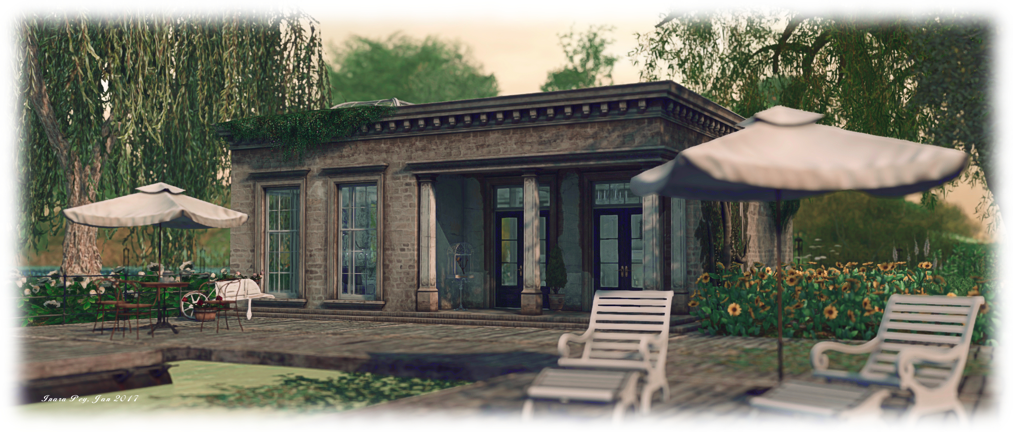
The track curls gently around the foot of the hill before branching, one arms climbs the gentle slope to the villa, the other following the curve of the coastline. Stone steps also lead up to the villa, passing between the lines of grapes. At the top, on the villa’s outer terrace, fruits are laid out for sale on the outer terrace of the villa, and geese roam. A cart with wine casks and an old pick-up truck add to the suggestion that this is a working estate, but the inner courtyard, with its pool, games room, barbecue and outdoor lounge area, carries a sense that this a more of a holiday location than a working vineyard.

Perhaps it is both; to the north, and on the lowlands beneath the villa, sit a cabin and a flat-roofed building. both offer comfortable, if small, accommodation. Might it be that those on vacation sleep within these, whilst availing themselves of the villa and its facilities for the rest of their needs?

Whimberly, Whimberly; Inara Pey, January 2017, on FlickrWhimberly

To the east of the villa, and nestled at the foot of the hill on which it sets, is an artist’s studio, occupying the corner of an aged terrace which drops abruptly into the water. Smoke rises from a brazier a short distance away, where sits a small deck, one of several places on the island visitors can relax, a wooden board walk linking it to the studio, while its back sits to the dirt track.

Between the villa’s hill and the arms of the dirt track – the same track which passes by the landing point – sits a field of oilseed rape. It’s not hard to imagine a gentle breeze stirring the seed heads, causing them to dance in unison like ripples across a lake. Follow the track west and north, and it will bring you to one of the “holiday homes”. A short distance from this, across open grass, sits the bridge offering access to the smaller island. This points  a slender finger out over the water, dissected for most of its length by another track which brings visitors to a lone caravan sitting in the shade of one of the region’s scattered trees, and another wooden deck sitting out over the water.

Whimberly, Whimberly; Inara Pey, January 2017, on FlickrWhimberly

Whimberly is beautifully elegant in its simplicity of presentation. It offers much to explore without leaving the visitor overwhelmed, while the attention to detail means there are a lot of little touches to be discovered and enjoyed, all set beneath a sky crafted to suit the setting and completing the ambience of the region. Should you enjoy a visit, please consider a donation at the landing point to help with the upkeep of the region.

SLurl Details

Of rural wanders and elevated safaris in Second Life

Devin, Devin; Inara Pey, January 2017, on FlickrDevin – click any image for full size

Devin appeared in the Destination Guide Highlights on Friday, January 20th, promising “two sims” of space to explore. Designed by Roy Mildor, Ally Daysleeper and Alienmaus Allen, the description should perhaps read, “two region-wide levels”, but the fact remains that Devin presents Second Life users the opportunity to enjoy two very different environments within the same region.

The ground level presents a rugged, lush terrain, filled with the greenery of grass and trees, surrounded by tall mountains and cut and shaped by water. It could be just about anywhere in the world, edged with a sandy beach, watched over by ancient ruins and the beacon eye of a light house.

Devin, Devin; Inara Pey, January 2017, on FlickrDevin

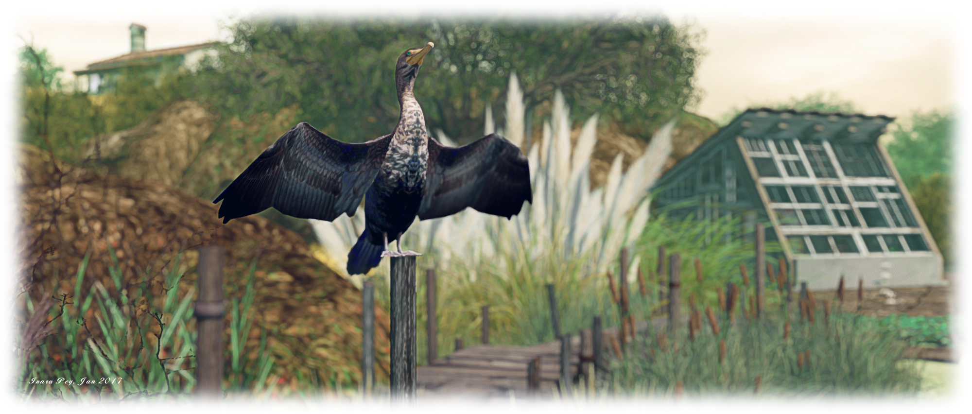
A house sits upon a hill to the north-east; a private residence, it is off-limits to visitors, although the rest of the land remains open to explore. A watery tongue cuts into the land below the house, crossed by two bridges to reach a long island running southwards. Here, horses graze amidst the long grass and an old barn has been converted for the care of motorcycles, a large deck built out over the water close by offering places to sit and cuddle.

A second island sits across the water to the west, stepping-stones offering a relative route to it. More rugged than the others, it rises to a narrow spine with more places to sit and / or cuddle, before dropping to the swathe of beach. North of this, across an old wooden board walk, sits the smallest of the islands, topped by the ruin of a cottage. From here, visitors can circle back to the open land beneath the house.

Devin, Devin; Inara Pey, January 2017, on FlickrDevin

Throughout it all are places to sit, or chat or dance while the air is filled with the sounds of nature. This is peaceful haven, offering plenty of scope for photography and relaxation.  When exploring, keep an eye out for the whimsy – like the raccoons by one of the seating areas.

The second landscape can be reached via the teleport signs planted in the ground at various points. Called simply “Devin 2”, it sits high in the sky, and where the ground level is rich in greens, browns and water, this second environment is perhaps more akin to the Sahel Zone of Africa. It is a place of rolling dunes, some of which are covered in a thin but tough mat of grass,  and of scattered trees and a lone watering hole.

Devin, Devin; Inara Pey, January 2017, on FlickrDevin

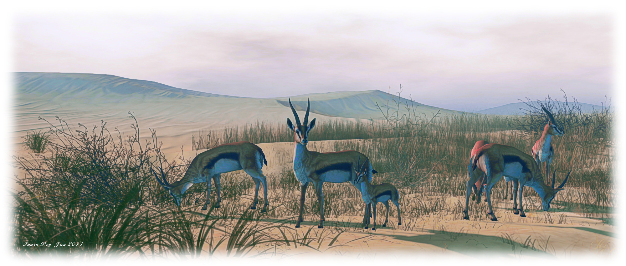
Overlooked on one side by an old shack and the other by an ancient stone tower, the watering hole is the venue of choice for the local wildlife. Elephants bathe, rhinos and giraffe drink, and zebra stand in the shade of trees growing lose by, attentively watched by a pair of jaguars. Across the water from them, a lioness eyes a small herd of Arabian gazelle,  while a crocodile rests in the sun. Slightly further afield, a train of camels marches slowly in from the outlying dunes and sand hills.

Thus it is that Devin 2 presents a mini safari on a sim; a chance to photograph wildlife whilst escaping the rest of the world. A scattering of camp site and wooden building offer those visiting places to watch the animals, while a hot air balloon presents an ideal overhead perch from which to observe all the comings and goings. As with the ground level, everything here is open to exploration, except the camp site sitting over the dunes to the north-east. This is sitting over the private home at ground level, and is security protected.

Devin, Devin; Inara Pey, January 2017, on FlickrDevin

Taken together, there are two charming places to visit, either individually or together. Each offers its own serenity and its own attractiveness.

SLurl Details

  • Devin (Devin, rated: Moderate)

Once Upon a Fairy Tale in Second Life

Once Upon A Fairy Tale, Cape Juniper; Inara Pey, January 2017, on FlickrOnce Upon A Fairy Tale – click any image for full size

The last time I visited Cape Juniper, Danni Lyric’s home region which she uses to showcase her landscaping and design skills, was in September 2015. As such, it is a place which periodically changes, and I was drawn back to is after seeing the region featured in a recent Destination Guide highlights under the title Once Upon A Fiary Tale. And if you in any way enjoy fairy tales sweet or grim, or have a penchant for stories involving wizards, elves, dragons and more, it is most assuredly a place you will want to visit and savour.

Once again, Danni – with the assistance of Psy Carnell – has created a unique, eye-catching environment with a lot to explore, see and discover – far more than may first meet the eye. “This year, instead of observing the changing of seasons, [we’ve]  decided to take a nostalgic turn,” Danni explains. “Once Upon A Fairy Tale is a  whimsical fantasy land with scenery inspired by fairy and folk tales of our childhood. You’ll notice as you travel around the different areas that, while nothing is an exact match to any single tale, there are strong hints you will find recognisable.”

Once Upon A Fairy Tale, Cape Juniper; Inara Pey, January 2017, on FlickrOnce Upon A Fairy Tale

Visits start ordinarily enough on a path alongside a notice board. A light haze hovers in the air, and a sign post alongside the landing point gives the first hint of just how much there is to find within this realm of folk tales, stories and imaginings. Take the footpath in one direction, and you’ll be led down to a watery oasis where merfolk reside; take it in another and you’ll climb a short hill to where Cinderella’s  magical coach awaits, steeds and carriage yet to hear the strike of the midnight hour. Take it in the third offered direction and you’ll be led inland past wolves and a waterfall and over a ridge to – well, I’ll let you find out for yourselves!

Perhaps the best way to appreciate the beauty and otherworldliness of Once Upon a Fairy Tale is to pump up your draw distance to about 300-310 metes, and carefully cam out, keeping your focus on the land before you. As you do, you’ll see that the paths and lush greenery of your arrival point are surrounded by a mix of pointed green crags, flat-topped tables of rock and islands floating serenely  in the haze, each the home to a scene or setting. These form a ring around the centre of the region, linked back to it by bridges and walkways, whilst not all being connected one to another.

Once Upon A Fairy Tale, Cape Juniper; Inara Pey, January 2017, on FlickrOnce Upon A Fairy Tale

Nor does the magic end there. Cam a little further out, and you’ll see that the region and the waters lapping it have been designed so it appears all of the land is floating on a foundation of clouds, the encompassing sea of Linden Water converted into an unending expanse of sky. It’s an extraordinary sight, one given added depth by the waters which tumble from the edge of the land into the “clouds” below.

As Danni notes, this isn’t designed to be a single fairy tale or fantasy setting; it is both an interpretation and an amalgam of stories, such that each island or location might be considered an individual setting with its own tale. But at the same time, when exploring, you cannot escape the fact that the different locations naturally flow one to another, whichever route of exploration you take. As such, there is a feeling of story-like continuity whilst exploring.

Once Upon A Fairy Tale, Cape Juniper; Inara Pey, January 2017, on FlickrOnce Upon A Fairy Tale

Then, of course there are the various images and suggestions posed by the scenes one encounters along the way. These will naturally be very individual for each of us: is the wizard Gandalf or one of his brethren, or is he more akin to Dumbledore and wizards of his ilk? Are the dragons from the pages of J.R.R.T or G.R.R.M?

Nor are the scenes restricted to purely western influences; the oriental is represented atop a couple of the islands, complete with Buddha and cushion for those who want to meditate. Elsewhere can be found winged horses (Pegasii?), complete with smithy to look after them, industrious gnomes, fairies and more. Through it all, the attention to detail and the little touches bring this world to life, as do the characters populating it – the gnomes, dwarves, creatures and (especially) the wizard.

Once Upon A Fairy Tale, Cape Juniper; Inara Pey, January 2017, on FlickrOnce Upon A Fairy Tale

This is a magical region for children of all ages, and most certainly not one to be missed or avoided.

SLurl Details