A road trip to Maoz in Second Life

Maoz; Inara Pey, December 2018, on Flickr
Maoz – click any image for full size

Update: Maoz has closed. SLurls have therefore been removed from this article.

Take a break from the cold and come hang out at Maoz! It’s a little tropical retreat that’s inspired by the idyllic, provincial life in the Philippine Islands. Take pictures, surf, play games with friends or just frolic in the water and the sand.

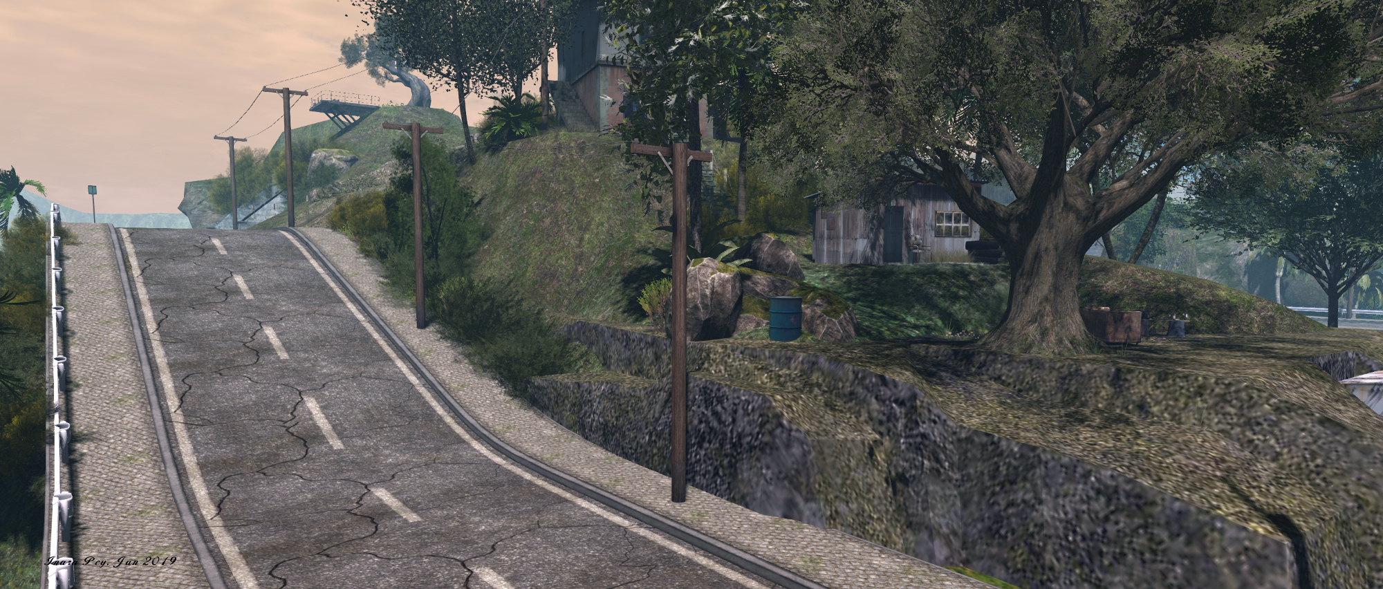
So reads the description for Maoz, a Homestead region I dropped into after seeing Loverdag’s images at the start of the year. Designed by Cate Ansaldo (CATEvogel) and Dylan Vogel (LordDylan Ansaldo), this is simple region with the design intended – as the description indicates – to reflect the provincial Philippine life. Surround by low-lying hills that don’t quite adjoin the region, it has the feeling of a coastal location through which a broad road passes, beaches to one side offering surf and volleyball, overlooked by a parking lot where it is easy to image passing tourists pausing to take photos.
Maoz; Inara Pey, December 2018, on Flickr
Maoz

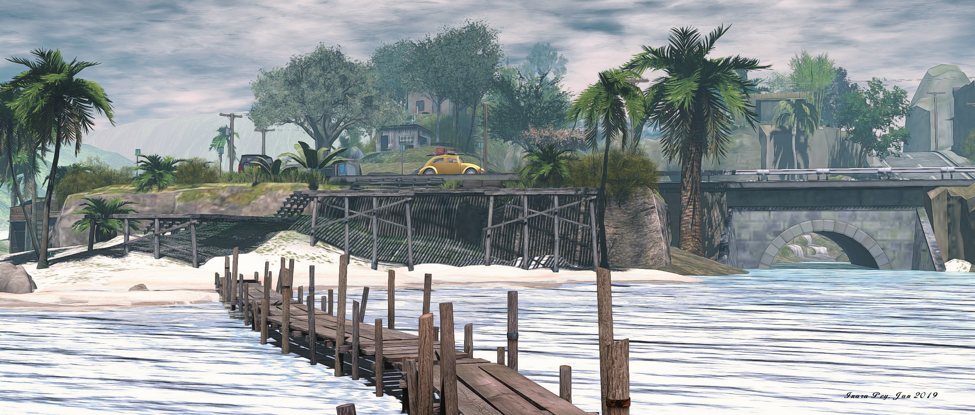
Rising in uneven steps from west to east, the setting is marked by water tumbling through a series of falls, small shanty houses scattered between rocks and trees, and the ribbon of the road, which together with the vehicles scattered along it, gave me the impression I was perhaps on a road trip. Roadside huts and shops sit as possible distractions for drivers, promises of food and beer presenting the temptation for a stop along the way.

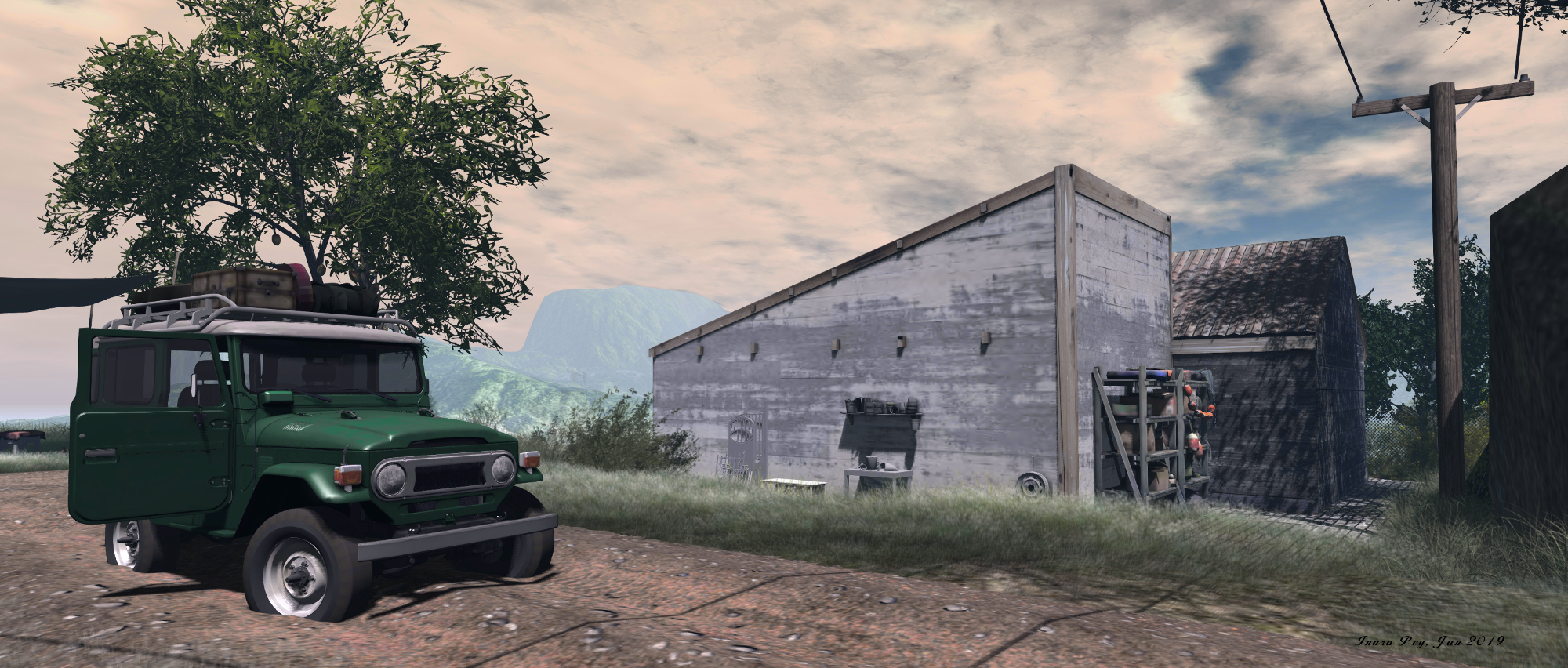
Tucked away on one corner of the region sits a small but homely house, a Toyota Land Cruiser parked alongside, doors open and roof rack laden as if someone is about to take to make a journey or has just returned from a trip to somewhere. Not far away is one of those tempting stops, the bicycle laden with platters of fresh fruit outside apparently enough to persuade one driver to swing across the road and pull up, the No Parking sign under which it has been parked clearly not a deterrent.
Maoz; Inara Pey, December 2018, on Flickr
Maoz

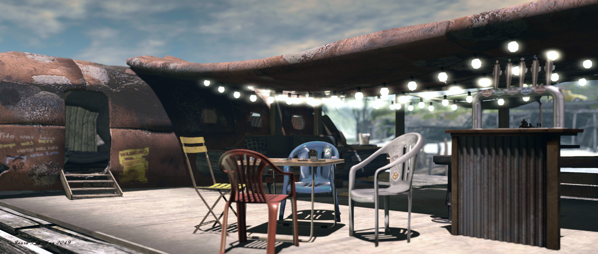
Off the coast to the west, reached by a long board walk clearly placed by the locals to avoid the rolling surf, lies a bar built within the confines of a rocky sandbar rising above the waves. A makeshift place, constructed in part from the fuselage of a wrecked ‘plane, it’s clearly a popular stopping point: the rusting flank of the aircraft is festooned with the autographs of visitors past. Those who don’t fancy the walk out to it can find refreshments and sweets at Linda’s Store on the beach, within easy reach of the volleyball net awaiting players.

Scattered around the region are numerous places to sit, indoors and out – including a caravan perched at the top of a steep track and offering views out to sea, and back over the waterfalls down to the rolling surf, or within (or on) the VW Beetle parked at the landing point. Rezzing is also open to visitors, making this an ideal place for photography. However, as auto return is disabled, please do remember to pick up anything you set out, should you choose to do so. There is also a Flickr pool open for submissions of images taken.
Maoz; Inara Pey, December 2018, on Flickr
Maoz

As notes, a simple, photogenic layout that offers a place to get away to while waiting for the snowy, winter regions to warm themselves up as thoughts now turn to spring in the northern hemisphere. It is also, apparently, a place given to occasional squalls of rain, so when visiting, you might want to keep a brolly handy!
The haunting beauty of Rummu in Second Life

Rummu; Inara Pey, December 2018, on Flickr
Rummu – click any image for full size

Update: in keeping with Serene and Jade’s usual approach of maintaining a region design for approximately a month after opening, Rummu has closed. SLurls have therefore be removed from this article.

The start of a new year brings with it the opening of a new region design by Serene Footman and Jade Koltai, and once again they present a vision of a place few of us may ever get to see in the physical world. Rightly renowned for their work in reproducing Furillen (read here), Khodovarikha (read here), La Digue du Braek (read here), Isle of May (read here) and Black Bayou Lake (read here), they now present a setting with deep historical and cultural meaning, harkening back to the era of the Soviet Union: the Rummu quarry, located in Estonia.

Called simply Rummu in Second Life, the region completely captures the heart and soul of Rummu quarry and some of its surroundings. beautifully encapsulating them within the confines of a 256 square metre setting.

It was the location of a quarry from the 1930s until the early 1990s. More notoriously, Rummu was the site of a Soviet prison, whose inmates formed the majority of the quarry’s workforce … Rummu quarry was essentially a labour camp in which prisoners were forced to work and to endure brutal treatment from guards who barely spoke their language.
After Rummu prison was closed, the quarry ceased operating. The site was flooded and another remarkable story began. The prison itself now lay hidden beneath a lake that slowly became a well-known Estonian beauty spot, drawing many visitors who wanted to swim and dive in its crystal clear waters. In summer, this place resembles a city beach, packed with bathers.

– Serene Footman, discussing Rummu

Rummu; Inara Pey, December 2018, on Flickr
Rummu

It is as this modern beauty spot (still used today, despite bathing and swimming in the quarry having been banned) that Jade and Serene have recreated Rummu, and they’ve done so with remarkable detail.

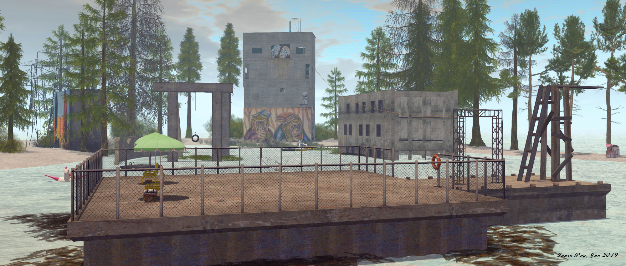
In the physical world, the quarry sits within a heavily wood region and is immediately identified by a massive spoil tip from the quarry excavations, which forms a man-made table mountain rising above what is now the meandering lake. Sitting close to the spoil tip are a number of building shells, some rising directly out of the flood waters filling the quarry, others sitting on the shoreline, all now battered and broken since the quarry’s closure in the 1990s, and the natural flooding of the quarry pit that followed (the prisons themselves – Rummu and Murru prison, which Serene references in his own write-up about the location, – actually continued to operate through until 2012, after being merged into one in 2001, and then with the nearby Harku women’s prison in 2004).

Rummu; Inara Pey, December 2018, on Flickr
Rummu

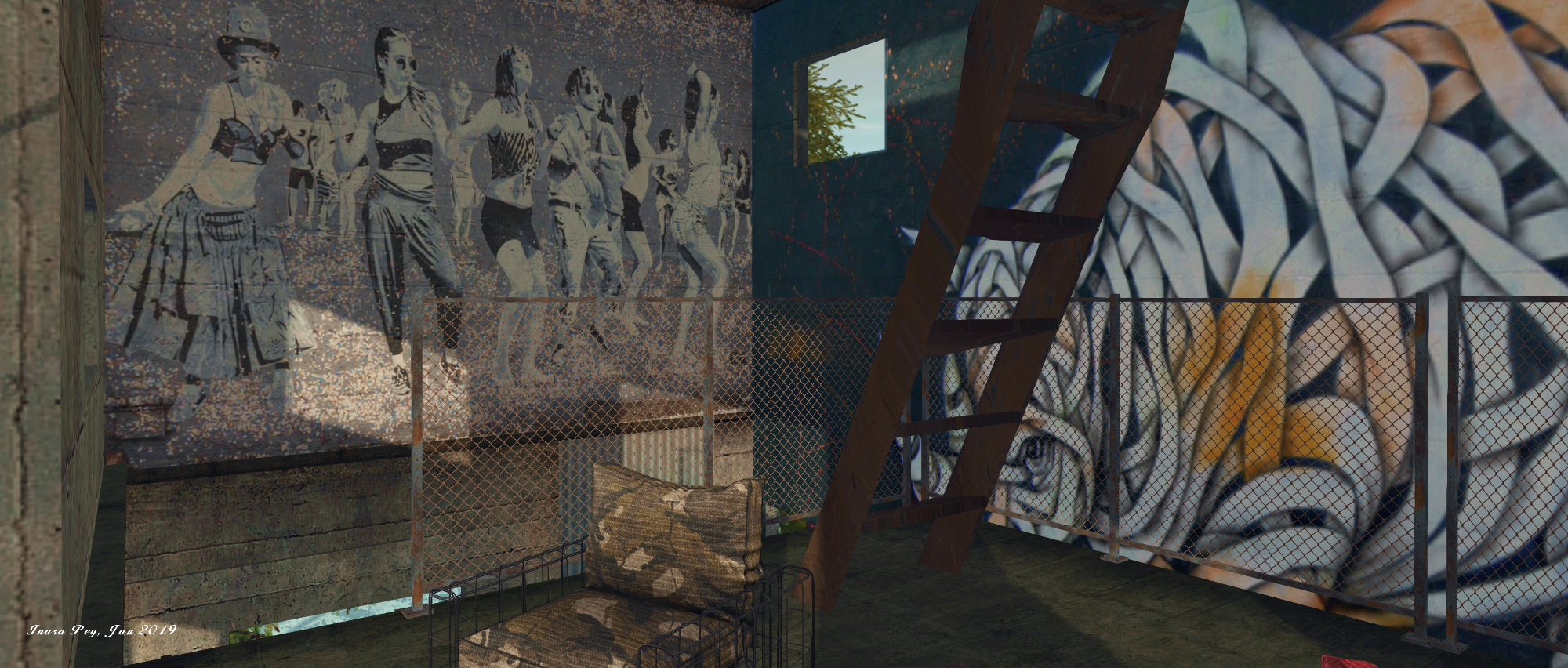
All of this is wonderfully recreated within the Rummu build, right down to the rills and channels created by water that flows down the flanks of the spoil tip as a result of regional rainfall, and the low, sandy-like spaces where Estonians come to enjoy the summer Sun between dips in the deep waters. Also captured within the build is the fact that rather than merely standing as derelict shells or as diving platforms for daring leaps into the waters below, the buildings also became the home of an impromptu outdoor art gallery, their walls home to large fresco-like paintings and graffiti.

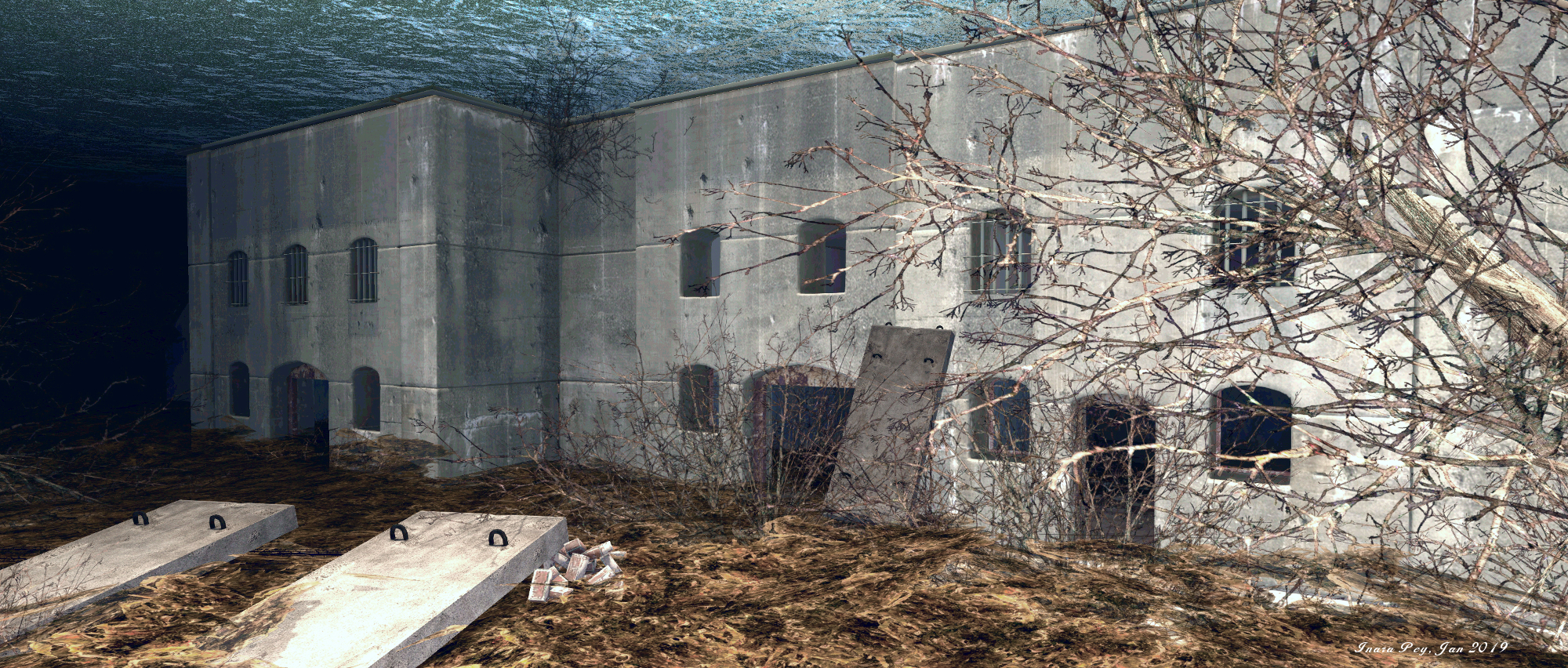
Nor is the build restricted to reproducing what lies above the waters; when the quarry naturally flooded after work within it ceased (the quarry had to be continuously pumped during its operational life in order to prevent it filling up with water), many of the buildings it contained, together with equipment, ended up underwater.

Rummu; Inara Pey, December 2018, on Flickr
Rummu

These drowned remains give the physical world Rummu prison something of an eerie, ethereal feel, as they can often be seen from above the surface. And it is these submerged buildings and other reminders of the quarry’s past that have also in part been reproduced within Serene’s and Jade’s build. Somewhat hidden from any overhead view when using the default windlight, they lie within a haze that gives a great sense of the real quarry’s depth, looming into view much as they would to divers braving the waters of Estonia’s Rummu.

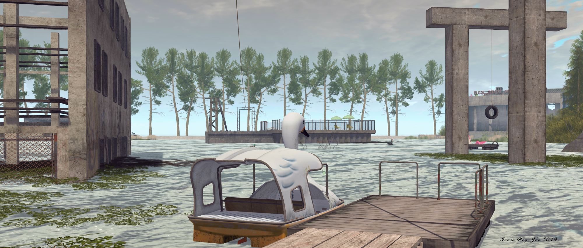
As Serene notes, almost all the LI for the region is used up; ergo there is no public rezzing available – but there are a lot of places to sit and enjoy the surroundings – including a dive platform that appears to have been drawn from this video of the quarry, and which again adds to the overall setting. There are also a number of interactive elements to be found as well, including two places where you can dive, a zip line slide and a pedal boat rezzer.

Rummu; Inara Pey, December 2018, on Flickr
Rummu

But why pick on a place that once harbours such human misery? I think Serene explains it perfectly:

We were drawn to the place by its contrasts: between past and present, between what lies above and below the water, between freedom and captivity, between beauty and brutality. We also liked Rummu’s bohemian vibe: there is something carefree and illicit in the way that visitors use it, painting murals on the walls of the buildings one can see, and staging impromptu parties and music events.

– Serene Footman, discussing Rummu

To give you a flavour of Rummu as it appears today, and just how carefully Serene and Jade have recreated it, I’ll leave you with a short video of the quarry. Do remember that the setting will not in in-world forever, so a visit is strongly recommended, and photos can be shared on the Rummu Flickr group.

Links

A Nordic Maison de L’amitie in Second Life

Maison de L'amitie; Inara Pey, December 2018, on Flickr
Maison de L’amitie – click any image for full size

Update September 2019: Maison de L’amitie has relocated.

It’s been more than eight months since our last visit to Corina Wonder’s Homestead region, Maison de L’amitie. At that time, the region presented an eye-catching reproduction of Bolivia’s Salar de Uyuni (about which you can read more here). Since then, things have returned to Corina’s more “usual” landscape designs, and for winter 2018 / 2019, it currently offers a suitable setting with which to launch this year’s Exploring Second Life series.

The great joy with Corina’s landscapes is that they present setting that was wonderfully natural and which encourage exploration without making demands on visitors; rather they encourage a gentle stroll, generally with opportunities for sitting and chatting / cuddling. Such is the case with this winter look, which comes with something of a Nordic feel.

Maison de L'amitie; Inara Pey, December 2018, on Flickr
Maison de L’amitie

Set between two parallel lines of off-sim snowy mountains, both of which encroach well into the region’s west and east sides, visitors are presented with a rocky splinter of land facing a narrow channel of icy-looking water to the west and open sea to the south. Sitting at the feet of tall rocky fingers that form a jumbled parade of cliffs, a snow-covered road runs south from the landing point and its little frozen pond and nearby open-air seating area, past a cosy-looking stone cabin sheltering under the high cliffs, before vanishing around a distant curve.

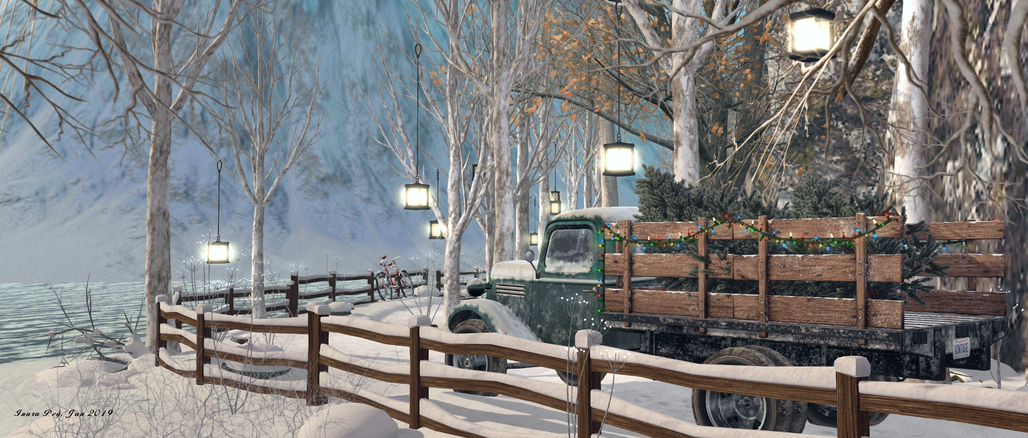
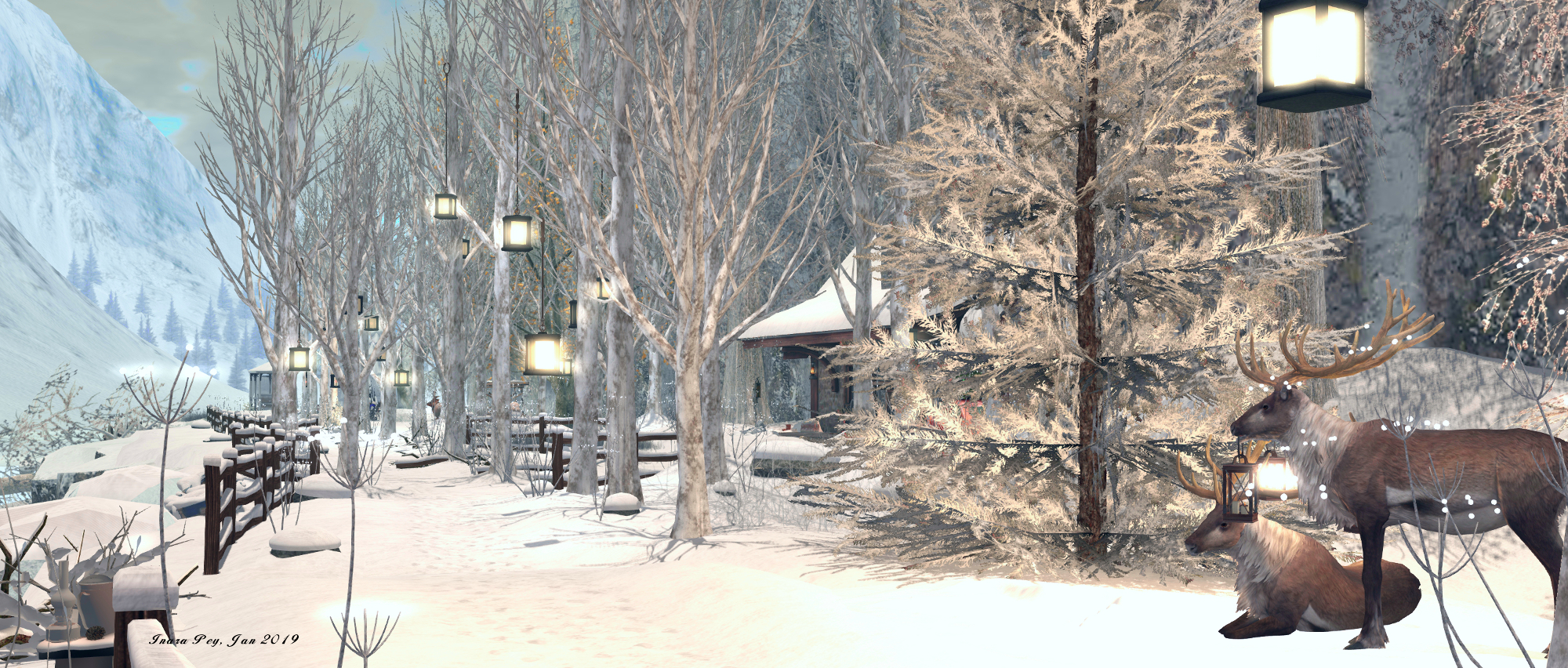
Wooden fencing separates the path from the cold waters, and lanterns hang from silver birch that march down the road, lighting the way as reindeer passively watch all the comings and goings.  The cabin offers a warm welcome for those feeling the chill, with Wellington boots arranged on the porch and, more particularly, a fire burning in the outside hearth, wooden chairs ranged before it. A bicycle lies in the snow, partially buried, suggesting recent fall, while inside signs of homeliness can be found with food being prepared and paintings mounted on easels.

Maison de L'amitie; Inara Pey, December 2018, on Flickr
Maison de L’amitie

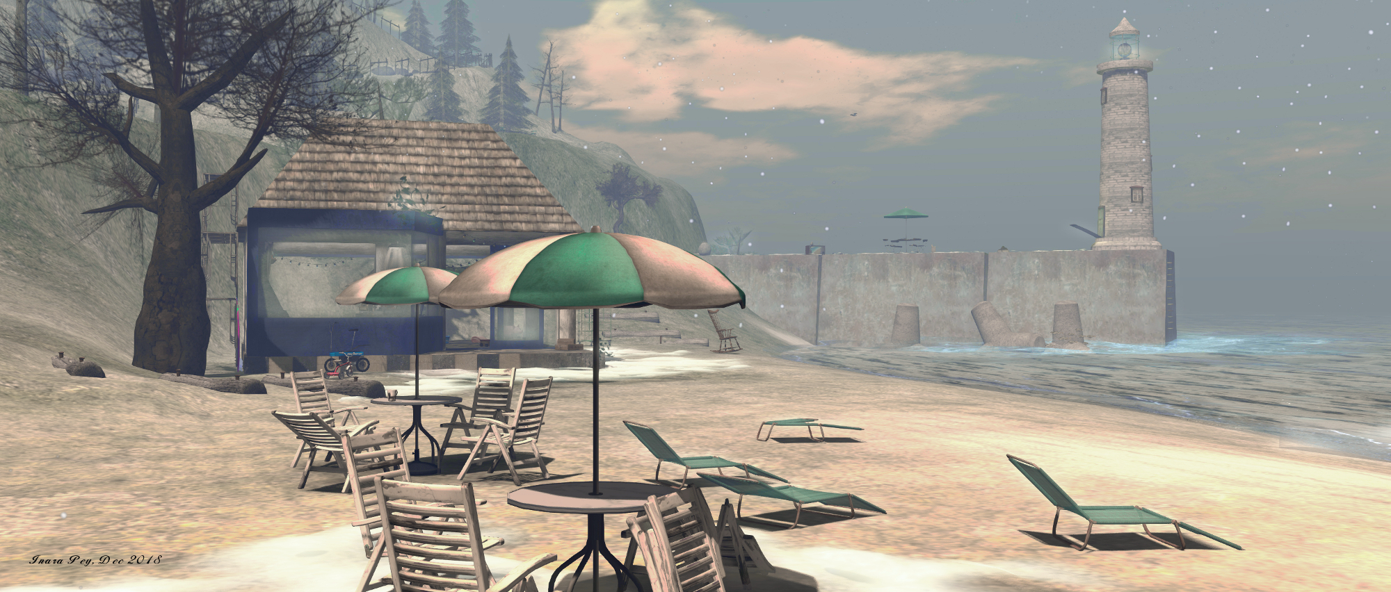
Follow the road south, however, and it will lead you to a view of the local lighthouse. Past a squeeze between the roadside fence and a truck loaded with fir trees, you’ll find why I refer to the region having a Nordic feel. As the path curls around the southern headland, so it leads to a fjord-like channel, sitting between two further walls of cliffs separated by a finger of icy water.

Here the path runs directly over the water, raised above it on concrete bricks, to arrive at a welcoming brick-built house. This is, like the stone cabin, backed against the high cliffs and affords a view of the waterfall feeding the fjord from its closed end. Despite the freezing look of the water, otters are at play, swimming and curiously examining the kayaks moored not far from the foot of the falls.

Maison de L'amitie; Inara Pey, December 2018, on Flickr
Maison de L’amitie

Nor is this all. Atop the canyon rocks are places to sit and cuddle – although I confess, we didn’t actually find a physical way up to them. As a landing point is set, an attempt to double-click teleport won’t work, and the only alternative appears to be to select one of the sit points; but we might have missed something.

A simple, wild setting, I’d perhaps have liked to see the east side rocks more naturally blend with the mountains behind them, if only to present a more natural look, but that is just me. For those who wish to rez props for use with photos, a land group is available to join – simply touch the board at the landing point for a link to the group. Photos of the region are welcome at the region’s Flickr group, should you opt to share them.

Maison de L'amitie; Inara Pey, December 2018, on Flickr
Maison de L’amitie

SLurl Details

A snowy Ponto Cabana in Second Life

Ponto Cabana; Inara Pey, December 2018, on Flickr
Ponto Cabana – click any image for full size

Update: Ponto Cabana has closed. SLurls have therefore been removed from this article.

The last time we visited Ponto Cabana, the Homestead region sitting on Lemon Beach, it presented a place with both a colonial feel to it and one of great age (read here for more). Now, in the midst of winter, it has taken on a new design, one caught under snow and within the bonds of ice; a setting as evocative as the face it showed in July, and one that – for those of us who may feel like we’ve piled on a few pounds thanks to turkey and more – offers offer a taste of the great outdoors that might help put us in the frame of mind to take a few holiday strolls over the next few days!

While presenting a new design by region holder Iska (sablina), Ponto Cabana also carries echoes of its summer build that, for those of us who visited back around July, give it a sense of familiarity while offering much to see that is new and awaiting discovery.

Ponto Cabana; Inara Pey, December 2018, on Flickr
Ponto Cabana

For example, the region largely remains split into two, linked by the span of a bridge. Further, the smaller of the two islands rises in terraces, a road curling up one side while stone steps offer a quicker route up to the table-top of the hill, much as it did back when it was home to a warmer setting.

However, where that hilltop was once home to a Spanish-style villa standing within and broad garden space with some of the terraces below it under cultivation, now the hill lies under snow and presented a more rugged face. It is also home to two red-painted houses that, with their red sides and white frames, might be taken for a farm. However, the courtyard before and between them perhaps offers a warmer greeting than can be found within either.

Ponto Cabana; Inara Pey, December 2018, on Flickr
Ponto Cabana

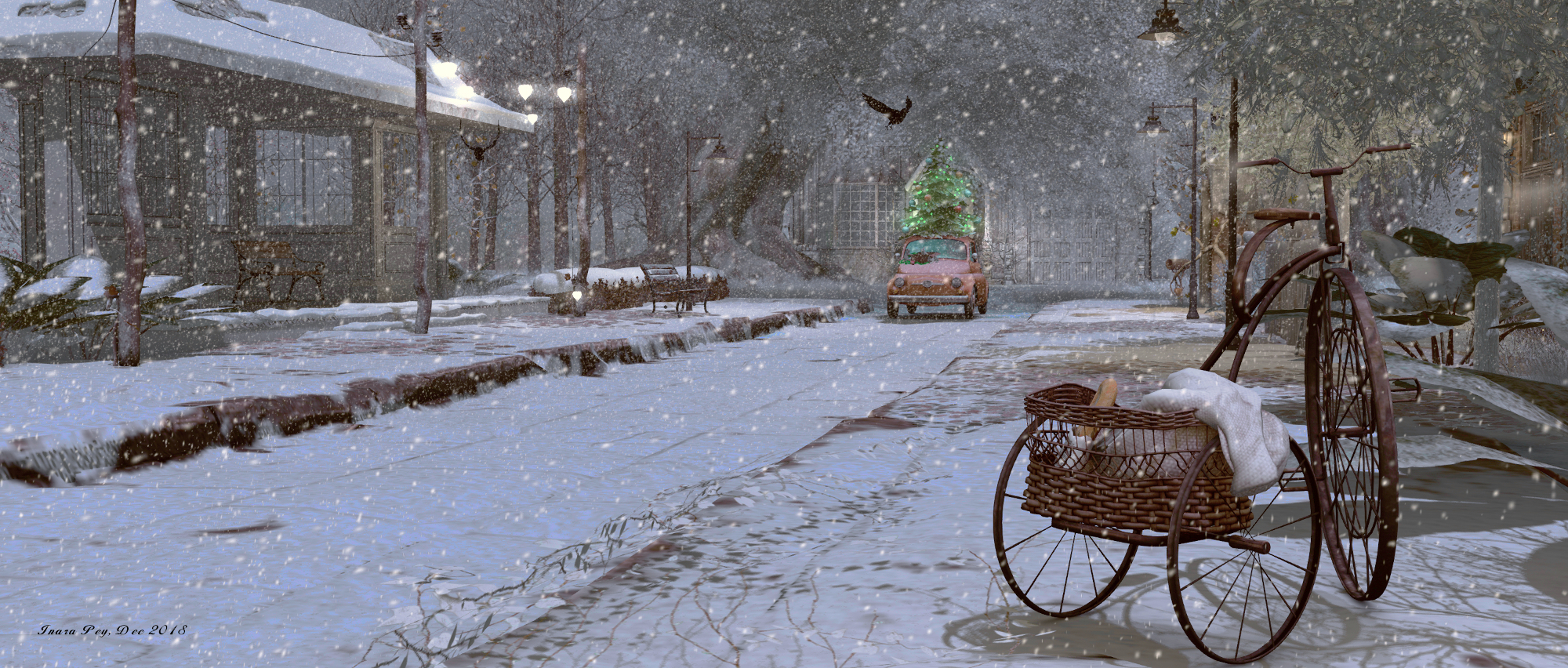
The larger island offers another little  town setting, this one perhaps more homely than July’s version, be retaining an element of ruin in the broken walls of what might have once been a house, or perhaps a chapel. Along the broad street, partially lain with wide train or tram tracks, snow falls heavily, coating footpaths, tracks, houses and gardens alike in a soft blanket that invites visitors to be the first to leave their footprints in its covering.

A small station sits forlornly alongside the tracks awaiting passengers, while at one end of the street, a car carrying a Christmas tree adds flickering warmth to setting as its little lights wink and blink. The houses and buildings here are sparsely furnished, yet there is still a welcoming air surrounding them and along the single street.

Ponto Cabana; Inara Pey, December 2018, on Flickr Ponto Cabana

Surrounded by a lake of ice, Ponto Cabana is a perfect Christmas wilderness setting for those looking to get away from the excesses of Christmas and who wish to spend time relaxing and appreciating simple winter solitude.   And if you really want to get away from it all, try a walk over the ice to the cabin on the smallest island, where a cosy time can be found.

Nostalgia at :nostos:deer: in Second Life

:nostos:deer:; Inara Pey, December 2018, on Flickr
:nostos:deer: – click any image for full size

Second Life is always changing. Not just technically in terms of capabilities and options, or even visually in terms of the overall look and feel; but physically as well. Regions come, regions go – often with much lamenting in the case of the latter. Regions change hands from public to private; settings change with time both in reflection of the seasons and as of the evolving nature of design and model building.

Such is the way of things, it is sometimes easy to forget that there can also be found in Second Life a sense of constancy; travel through the mainland continents, for example will reveal places that many not have changed for a very long time, offering glimpse’s of the grid’s past and a reminder that it does have a history.

:nostos:deer:; Inara Pey, December 2018, on Flickr
:nostos:deer:

While they can be harder to find, such places do exist among the myriad of private regions scattered across the grid. Take :nostos:deer:, for example, the full region held by Dora Nacht and Hide Mint, and home to their Little Hopper brand. I first visited it almost six years ago, in February 2013, when it was already over a year old. I’m not sure I’ve actually ever been back, but sorting through photos on my hard drive recently brought me to a folder of images taken during that visit; seeing it was still on the map, curiosity got the better of me, so I hopped over to take a look, and it was like stepping back in time.

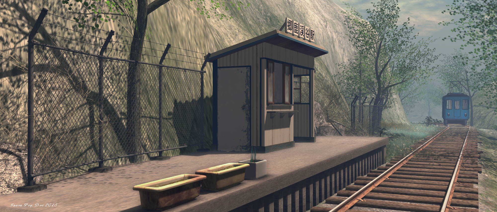
In 2013, I was struck by the simple design of the region and the sense of fun and whimsy within it, and it is true to start that, but for the snow present in 2018, almost nothing about the region has changed. The mine shaft entrance / teleport up to the skyborne store is still there, nestled by the deep gorge of the river that cuts through the region; the little purpose-built (by Hide) tram clatters along its single track, rolling from little station and out towards the coast before committing a 180-degree turn and trundling back as if it had a sudden change of heart; the east side beach is still watched over by the single finger of a lighthouse.

:nostos:deer:; Inara Pey, December 2018, on Flickr
:nostos:deer:

And there is the other little tram, still caught it time as it skitters on spinning wheels at the end of a track from which the bridge has vanished out from underneath it, rail sleepers tumbling like a twisted staircase into the sea below. Throughout the region, there is still an air that this is a place for doing things in a not-really-actually-doing-things kind of way.

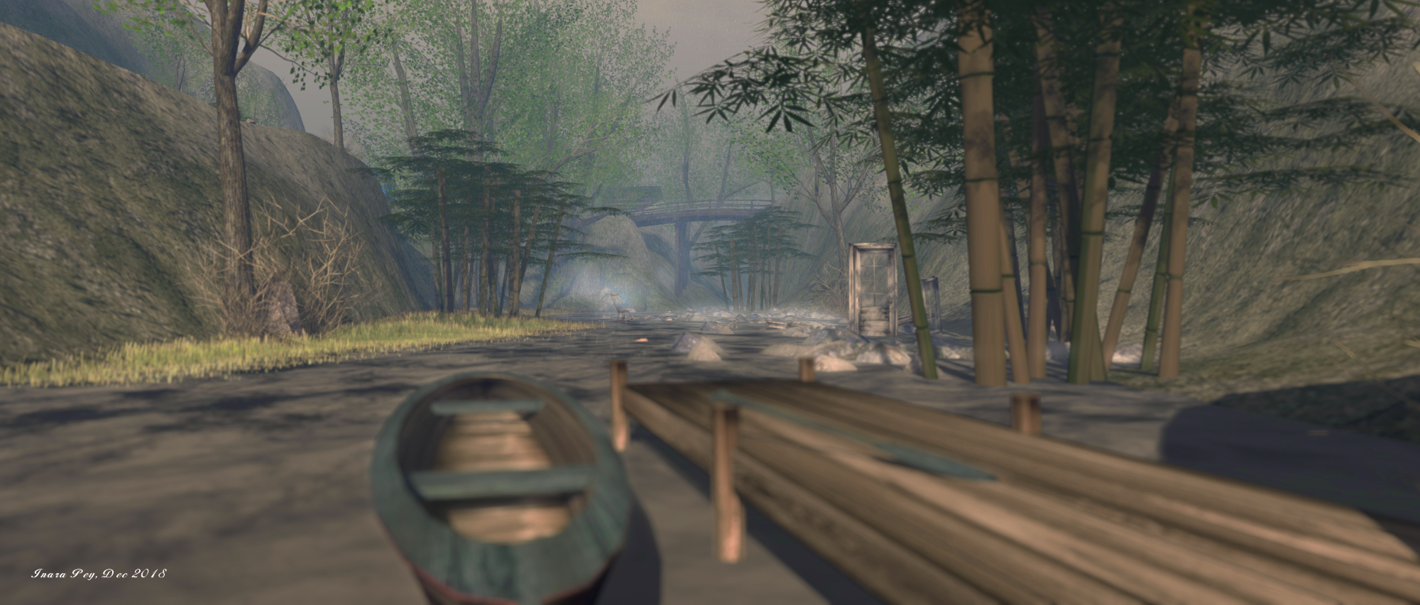
For example, the canoe awaits paddlers down in the river gorge, while the swan pedalo boats similarly await attention in the north-west. Elsewhere, wooden logs lie like abandoned sleepers to form paths both up hill and down dale for those wishing to follow them. But there is not sense of having to do all or any of this, with the region offering many places where people can simply sit and rest and let time pass them by.

:nostos:deer:; Inara Pey, December 2018, on Flickr
:nostos:deer:

Compared to the sophistication of modern region designs, some might view nostos:deer as “lacking”. It relies entirely on simple terraforming; there is no use of mesh landforms or other elements, the tress are predominantly prim-based, and so on. But that doesn’t make the region any less attractive per se.

Rather, the fact that it has stood so unchanged for so long allows it to stand as a glimpse into a bygone era of Second Life’s history. Equally, for those of us who remember it from visits taken four or five or six years ago, its unchanged nature causes a warming rush of familiarity, almost a sense of homecoming in keeping with the first part of the region’s name, mixed with a deep sense of nostalgia and re-discovery.

SLurl Details

The peaceful wilderness of [Valium] in Second Life

[Valium]; Inara Pey, December 2018, on Flickr
[valium] – click any image for full size
Updated, January 2020: [Valium] has closed. SLurls have therefore been removed from this article.

[valium] is the name of the latest region design by Busta (BadboyHi) and held by Valium Lavender and to which I was pointed to by fellow SL traveller, Shakespeare. Busta’s designs are always been worthy of a visit (you can find out about Yasminia here and Meraki here), so I was keen to hop over and explore as the region officially opened its doors to the public on December 21st, 2018. And once again, both Busta and Valium are providing a region that is quite extraordinary in its eye-catching design.

A full region utilising the full region land capacity bonus, [Valium] is open to the public, although group membership is required. This is currently free, and will remain so through until January 7th, 2019, after which a L$250 fee will be applied. The latter is to both help with maintaining a certain sense of privacy for those renting properties on the region, and for a reason that will become clear later in this article. There are many places to be explored during a visit, but do be aware that there are the aforementioned private residences scattered around the region, so please do take care to avoid trespass when exploring.

[Valium]; Inara Pey, December 2018, on Flickr
[valium]

The Vision

To create a picturesque, rugged countryside setting with naturally beautiful nooks, twists, turns and hidden gems for public and private use. There are many public areas to explore and it will probably take several visits to see everything the sim has to offer.

– Valium Lavender, describing [Valium]

[Valium]; Inara Pey, December 2018, on Flickr
[valium]
This is a marvellously diverse setting, ranging from high peaks to coastal areas, mixing little docks, headlands, remote dwellings, ruins, and islands (albeit one or two of them being off-sim).

The landing point sits towards the centre of the region, meaning that no matter where you go, there is something to explore. A terraced area, it overlooks the low-lying western side of the region where the ruins of a church sits on the largest of the region’s islands, beckoning visits to it as it rises among the trees guarding it.

[Valium]; Inara Pey, December 2018, on Flickr
[valium]
While this island is connected to the rest of the land by three bridges, getting down to them from the landing point is a little circuitous, ensuring visitors have the opportunity to start explorations, as the route carries them over semi-paved areas, past the ruins of an old farmhouse (with one of the private residences just behind it), and on to the waterfront or for those who prefer, past an old folly and then down to the water’s edge, and second of the three bridges.

It is the multitude of footpaths that make exploring [Valium] a joy. Whether you go up or down, inland or directly (or as directly as you can!) to the coast, there is much to discover, appreciate and photograph. There’s the ruin of an old tower facing the church, for example, or the rickety cabin build out over the water to the north, caught in a local shower, or a further terrace sitting just above, and nestled below and clear of another of the private residences.

[Valium]; Inara Pey, December 2018, on Flickr
[valium]
To the south-east sits a little commercial area, with a coffee-house sitting within a converted industrial building and offering outdoor seating with views of the local lighthouse. A further coffee-house, this one also providing music and dancing, sits on a wooden platform part-way up the island’s main peak, again offering marvellous views to the south and west.

There is so much about this region that is attention-taking that walking you through it with words is really a waste; [valium] truly is a place that deserves to be visited, and which can only be truly appreciated by doing so. There’s also another reason for visiting (and paying the group dues: Valium has decided a portion of the group membership fees, etc., will be forwarded to The Nature Conservancy, as she notes in the region’s website.

[Valium]; Inara Pey, December 2018, on Flickr
[valium]

[valium], a project from initial concept to the elaborate build, was created from visions of our naturally beautiful RL world. A place to explore and appreciate. With this in mind, I have decided to support a fantastic charity, The Nature Conservancy.

3400 lindens or more (out of group fees) per month [are donated] to The Nature Conservancy, a non-profit organization dedicated to land conservation and protection. Every acre they protect, every river mile restored, every species brought back from the brink, begins with us. Our support will help make a lasting difference around the world in 72 countries.

– Valium Lavender, describing [Valium]


[Valium]; Inara Pey, December 2018, on Flickr
[valium]
I believe that until the group fee is introduced, there will be a donations kiosk available at the landing point, while if visitors would like to donate directly to the Nature Conservancy, there is a link on the information board and also in the [Valium] website. Should you take photos of the region during your visit, do consider sharing them with the region’s Flickr group.

Kudos to Busta and Valium on creating such an wonderful setting.