Get your pics on Route 66 in Second Life

Mother Road; Inara Pey, September 2017, on FlickrMother Road – click any image for full size

“Mother Road is a lovingly crafted Nevada-esque back country, inspired by the original Mother Road sim,” Paul Cutter (Xtreme Paule) says when introducing Mother Road – Mirage Motel 66. “Mine is 1/2 sim size but the work is an experimental showcase which could lead to being full sim size in the future. So far feedback has been positive.”

A half region in size it may be but this build, sitting 450 metres above sea level, offers a genuine feeling of being on a desert road – Route 66 or otherwise – and plenty of opportunities for photography. Visitors initially arrive at the west end of the parcel, the road stretching away to the eastern horizon. An advantage in building in the sky means there is no water on that horizon to break the illusion of a road stretching into the distance, nor does the use of a mountainous or hilly region surround  to disrupt the feeling of being on a broad flat desert plain.

Mother Road; Inara Pey, September 2017, on FlickrMother Road

The titular motel sits half-way along the road on the left relative to the landing point. It offers air-conditioned rooms, free wi-fi and cable TV. It faces a gas station and garage on the far side of the road, with an iconic Harvey Davidson-type  motorbike parked at the pumps. The keen-eyed visitors might notice there are bike rezzers at either end of the parcel, allowing them to experience a trip along Route 66 – but those taking a ride should keep in mind the signs also mark the region edges, even though the road appears to continue eastwards and westwards beyond them

Beyond the motel and garage, on either side of the road are cabins and smallholdings, some of which are available for rent, while rugged, sandy hills rise to the north and south. As is often the case, a railroad line runs parallel to the road, but some distance from it, telegraph poles marching alongside it from east to west.

Mother Road; Inara Pey, September 2017, on FlickrMother Road

It’s a simple, yet elegant setting, with nuanced detailing and little scenes awaiting discovery. The sun-dried wood of a billboard stands alongside the motel, throwing a shadow for part of the day over an outdoor fire pit, surrounded by makeshift seating of old sofas, a mattress on top of creates, a beanbag and two car seats. A TV and VCR sit on a little bench, the former offering an old little taste of Britain as it displays the old BBC test card. More signs of Anglophilia can be found in the garage across the highway, where the Union Flag faces the Stars and Stripes and Ziggy Stardust floats on the side of a space invaders arcade game.

The garage sits on land which may be part of a farm or ranch, a 4×4 parked alongside an aluminium sided trailer close by, while over the fence someone has chosen to camp out near to some of the rental cabins. One of these is being careful investigated by a small group of young children – or is perhaps being used as their play camp in lieu of adult occupation. They, in turn, are being observed by a scrap metal robot, perhaps built to entertain them among the roadside rocks.

Mother Road; Inara Pey, September 2017, on FlickrMother Road

This is perhaps not the most affluent of locations; rusting hulks of cars are scattered around, together with the detritus of civilisation. It does, however offer an ideal setting for photographers, and rezzing rights for props can be obtained by paying L$100 to join the parcel’s group.

Whether or not this current iteration of Mother Road leads to Paul realising a new full region version remains to be seen. In the meantime, this build stands an easy-to-explore design, and going on the numbers present during my visit, a popular hang-out.

With thanks to Shakespeare and Max (once again!) for pointing me to this parcel.

Mother Road; Inara Pey, September 2017, on FlickrMother Road

SLurl Details

A Brand New Colony in Second Life

Brand New Colony; Inara Pey, September 2017, on FlickrBrand New Colony – click any image for full size

Update, January 1st 2018: Brand New Colony has relocated. The SLurls given here have been updated to reflect the new location, and a tour of the new build is available here.

Brand New Colony is an Adult-rated homestead region designed by Bunny Blessed (Svelte Blessed) and Mimara Blessed (Mimara) which is open to visitors to explore and enjoy – and it is a wonderfully picturesque setting in which to spend time.

Divided into three islands linked by bridges and surrounded by surf, the region sits in a broad channel of water sitting between two rugged mountain ranges rich with fir trees on their flanks. A visit begins on the plateau of the northernmost island, which extends a slender finger westwards, stone steps offering the way down from the gazebo in which visitors arrive. This sits above a large pool of water feed by an arc of waterfalls. Bridges span the water to the gazebo, which is also carried away by falls which drop down the side of the plateau to feed a large pool and a stream below.

Brand New Colony; Inara Pey, September 2017, on FlickrBrand New Colony

Footpaths run either side of the stream, bridges connecting them one to the other, both offering ways to explore the island, and  to reach the summer-house sitting on wooden legs above the stream. Rich with flowers and the shade of trees, with benches and swings to be found along the paths overlooking the water feature, the island on its own offers a picturesque setting in which to spend time. However, there is more to be found in the region.

Just down from the arrival gazebo is a wooden bridge spanning the channel between this island and the larger of the two to the south.

Brand New Colony; Inara Pey, September 2017, on FlickrBrand New Colony

A villa with whitewashed walls and a red-tiled roof sits on the plateau forming the central peak of this second island, steps near the bridge offering a way up to it. Sitting beneath the villa and visible from the arrival point is a sandy beach, complete with a tiled pool set back against the rocks of the plateau,  reached by a grassy path sloping down from the villa’s hilltop location.

Two further sets of stone stairs curl their way down the west face of the plateau, allowing explorers reach a stone bridge offering a way to the smallest of the three islands. This is home to the adult aspect of the region: an old (but functioning) lighthouse has been converted into an adult club – so, for those not fond of such things, proceed with care.

Brand New Colony; Inara Pey, September 2017, on FlickrBrand New Colony

There are many points of beauty within this region. The three island have been designed with care, and their rocky nature is entirely natural in look and feel, as are the many water features. Trees and plants are used with equal care and finesse to present a setting which is not just picturesque, but also serene. This is a place to be explored and enjoyed at leisure, with plenty of places to sit and relax – or cuddle. It’s also a place which demands photography.

As noted, Brand New Colony is adult rated, and a part of it does have an adult theme; but this doesn’t in any way detract from the sheer allure of the region.  All-in-all, a delightful visit.

Brand New Colony; Inara Pey, September 2017, on FlickrBrand New Colony

SLurl Details

Savor Serenity in Second Life

Savor Serenity; Inara Pey, August 2017, on FlickrSavor Serenity – click any image for full size

Update, July 2018: Savor Serenity has relocated. SLurls in this article have been updated.

“What seemed to be a forsaken land. Ruins of a former kind, left behind in the over grown forest. The morning dawn illuminated the waterfall. In that moment, she knew this would become the new home for her elven people. She savoured the serenity.”

So Tári Zephira (Gidgette Adagio) describes Savor Serenity, the homestead region she and her partner Tár TuT (Valleyofkings) opened to the public at the end of August 2017. Caitlyn and I were graciously allowed to visit the region ahead of its public opening, having thoroughly enjoyed a visit to Tári’s Hobbiton in February 2017.

Savor Serenity; Inara Pey, August 2017, on FlickrSavor Serenity

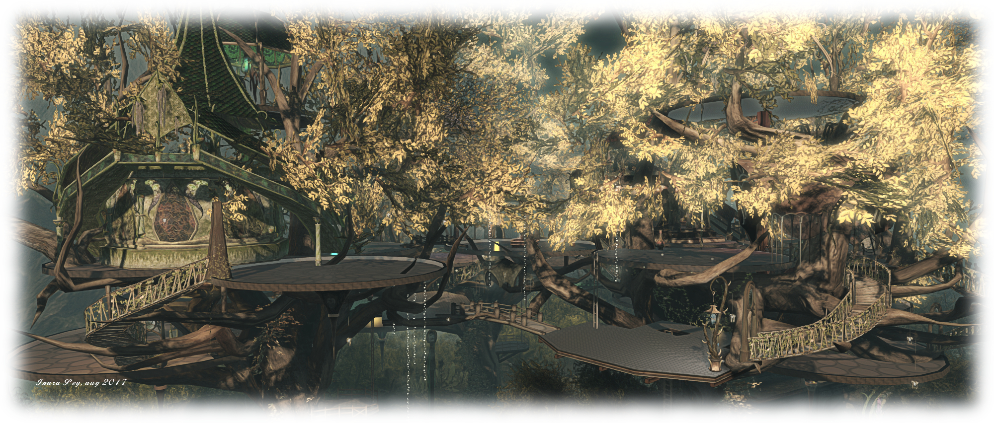
As Tári’s introduction suggests, Savor Serenity is modelled after an Elven enclave – one which, much like Hobbiton, has been inspired by Tolkien’s Middle Earth without actually directly lifting from it. Sitting within a ring of tall mountains misted by a twilight Sun, the region presents a wooded sanctuary in which sits ancient ruins linking by partially overgrown paths and from which great Mallorn-like trees rise, adorned by high telain offering spaces for meeting and dancing, and where elven buildings and domes reside.

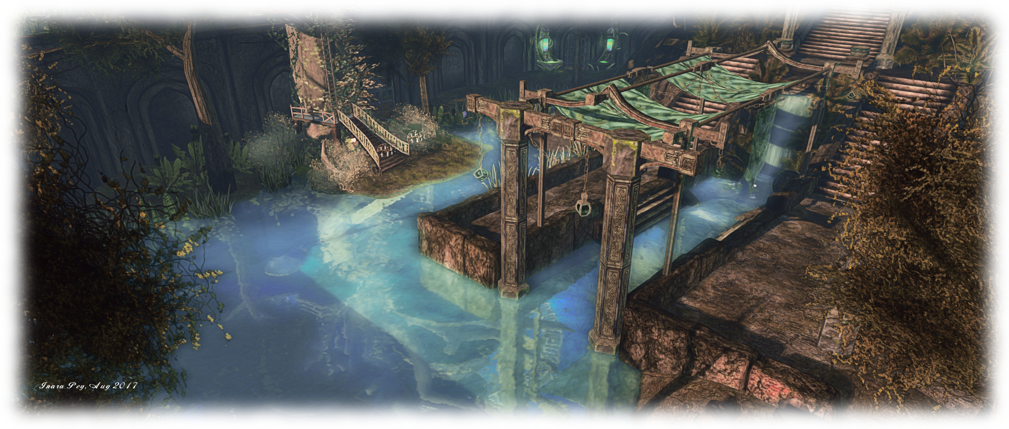
A visit begins in the south-east corner of the region, atop a portion of the ancient ruins. Steps descend from the platform at the for points of the compass, with the west side steps leading the way to a path passing through a tunnel made from the bent trunks of trees. The path passes westwards to more ruins among the trees, and places where couples might choose to tarry. Follow the path far enough and it will lead you to a point where you can access the centre of the region. This forms a walled pool of water, with a pavilion pointing westward, behind which a flight of steps rise to a throne sitting beneath a great dome.
Savor Serenity; Inara Pey, August 2017, on FlickrSavor Serenity

This central area appears to be the remnants of a great fortification, possibly of elven origin, but now long fallen into disrepair. Steps lead up onto the tops of the walls in place, in others the walkways are broken,  offering an alternative mean of accessing the darkness passages down between the walls – or a route onwards around the region. The first of the Mallorn trees rises from the banks of the waters within the walls, an ornate stair providing access to a platform where ladders provide a route up to the telain built in the branches of the tree. These are connected one to another by further ladders and stairways, with bridges arching over the gaps to telain sitting within the branches of the Mallorn growing to the north and beyond the high walls guarding the central waters.

These additional tree platforms can also be reached by a mix of ladders and stairways which rise from the open lands to the north, where the ground is dusted by flowers and the smaller trees are festooned with lights. A wooden pavilion can be found here, offering a further place to dance, while on the north side of the great wall stands what might have once been the grand entrance to the elven fortification.
Savor Serenity; Inara Pey, August 2017, on FlickrSavor Serenity

To say Savor Serenity matches its name would be an understatement – it more than does so. It also enfolds everything that is quintessential about Tolkien’s elves: ornate stonework, geometry, harmony with nature, love of water, and longing for the West. There are touches to refined beauty to be found everywhere – more so than I’ve described here, so it is as well to take your time when exploring. Also, if you haven’t explored Hobbiton recently (or at all), you might find a visit to both it and Savor Serenity present and ideal double visit with which to immerse yourself in  a personal look at Tolkien’s world.

SLurl Details

Savor Serenity (River Hill, rated: Moderate)
 

The beauty and expression of De*cid*u*ous in Second Life

De*cid*u*ous; Inara Pey, February 2017, on FlickrDe*cid*u*ous – click any image for full size

De*cid*u*ous is a full region designed by Trip (TrippingDaisy) and landscaped by his partner, Tate (Tate Ghost). It needs only one word to describe it: enchanting.

Sitting under a Windlight suggestive of an early morning, when the Sun’s rays cause a gentle ground mist to rise of the dew gathered on grass and leaf,  De*cid*u*ous is a mix of stunning landscaping and personal expression on love, life, relationships and the passage of time given in words of prose and  poetry – and it is a place deserving of careful and thorough exploration as there really is a lot to see.

De*cid*u*ous; Inara Pey, February 2017, on FlickrDe*cid*u*ous

“What if a virtual land could represent a real life?” Trip asks those arriving at the landing point in the north-west corner of the region, before he continues with an invitation: “Take a journey with me. Enjoy the meticulous landscaping designed by my partner, Tate. Stand in line at my heart to witness the fate of some.” And thus we’re off on a journey, following paths and trail, crossing bridges, exploring settings and passing through caves and caverns.

Along the way – most notably in the caverns and tunnels connecting them, but elsewhere as well – are easels visitors are invited to touch. Doing so will offer up a note card with a passage or poem intended to complement the scene where it is found. Collectively, the shape moments from a life – happiness, love, melancholy, regret, anger, freedom – and all should be read as a part of any deeper journey through the land.

De*cid*u*ous; Inara Pey, February 2017, on FlickrDe*cid*u*ous

Following the path down from the landing points takes visitors to first of several water crossings: a bridge and deck where time can be spent sitting at cable roll tables or sitting in the rowing boats moored alongside. Beyond, the path winds through trees, forking before an ancient ruin, one arm leading to a Romany camp between ruins and water, where restful times can be had.

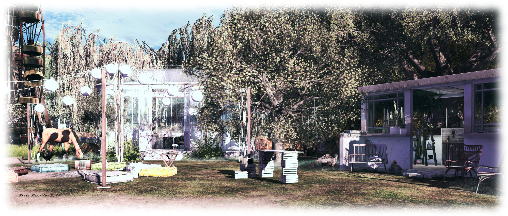
The other arm of the path points the way onwards to a second bridge, joined on the far side of the channel it spans by wooden boards marching over the grass to where they also fork. Turn left, and the way leads to Trip’s heart, as mentioned in the welcoming note card, and another poem of life  and reflection. Continue onwards from the path to the heart, and the trail leads to a clearing and another choice: left and out to where a Ferris wheel sits in the light of the rising Sun, or onwards to where the entrance to the caverns awaits.

De*cid*u*ous; Inara Pey, February 2017, on FlickrDe*cid*u*ous

Neither option should be missed. The Ferris Wheel sits within another scene, an easel offering up a poem. The caverns wind up through a pyramid-like hill, each offering a scene or settings, each with at least one poems to accompany it. As Trip hopes the scenes and settings throughout the region will speak personally to all visitors passing through, I’m not going to shade your thinking on encountering the caverns by offering my thoughts here.

From the top of the hill, and the cottages sitting on it, the way back down to the lowlands takes the form of a switchback path – but do check around the slopes of the rocky crown carefully, lest you miss the fort built into its southern face and the cosy hideaway it offers. From the foot of the path down the side of the hill, it is possible to continue onwards and discover the remaining secrets of the region and the various places for contemplation and quiet company it offers.

De*cid*u*ous; Inara Pey, February 2017, on FlickrDe*cid*u*ous

De*cid*u*ous is, as noted, a stunning region, offering a series of individual scenes beautifully brought together as a whole through the landscaping. The default Windlight throws the region into a misty half-light, but the land lends itself comfortably to a wide range of environmental settings, and Trip and Tate encourage photographers to experiment. They also ask that those so minded consider submitting their work to the De*cid*u*ous Flickr group. Those requiring props for their images can obtain rezzing rights by joining the region group – but do please remember to pick up your items afterwards!

All told, an eye-catching visit for any Second Life region-hopper. Mix in the poetry and prose that accompany many of the scenes found across the land, and you have a new level of engagement when visiting.  Definitely not a place to miss.

SLurl Details

A further Long Journey in Second Life

Long Journey Cafe; Inara Pey, February 2017, on FlickrLong Journey Cafe – click any image for full size

In March 2017 Caitlyn and I visited Long Journey on the advice of friends Shakespeare and Max – and we thoroughly enjoyed our visit. We headed back there in August after Shakespeare IM’d to say the parcel had undergone a relocation and a rebuild, and is now known as Long Journey Café.

The redesign is every bit as atmospheric and charming as the one we visited in March, which trains a tracks once again playing a role – and further shows that you don’t necessarily need an entire region, Full or Homestead, in order to make something unique and photogenic.

Long Journey Cafe; Inara Pey, February 2017, on FlickrLong Journey Cafe

A visit begins on one of the four levels the parcel has been split into, at the terminus of a small tramway. The tram itself appears to be just arriving, and going by the camera set up close by, is the subject of a film or documentary. The tram tracks pass over a cobble surface, which provides access to a little café – one of several in the parcel – alongside of which is a set of steps leading to one of the upper levels.

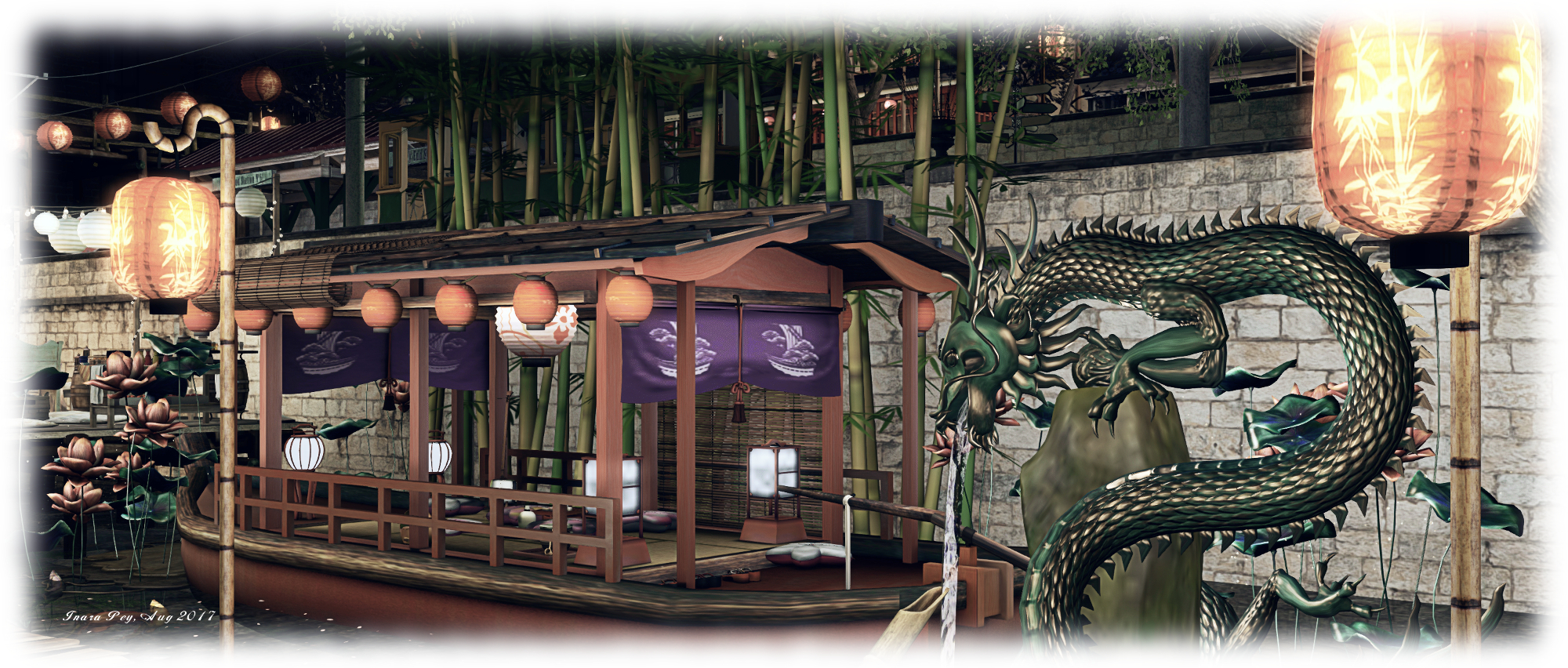
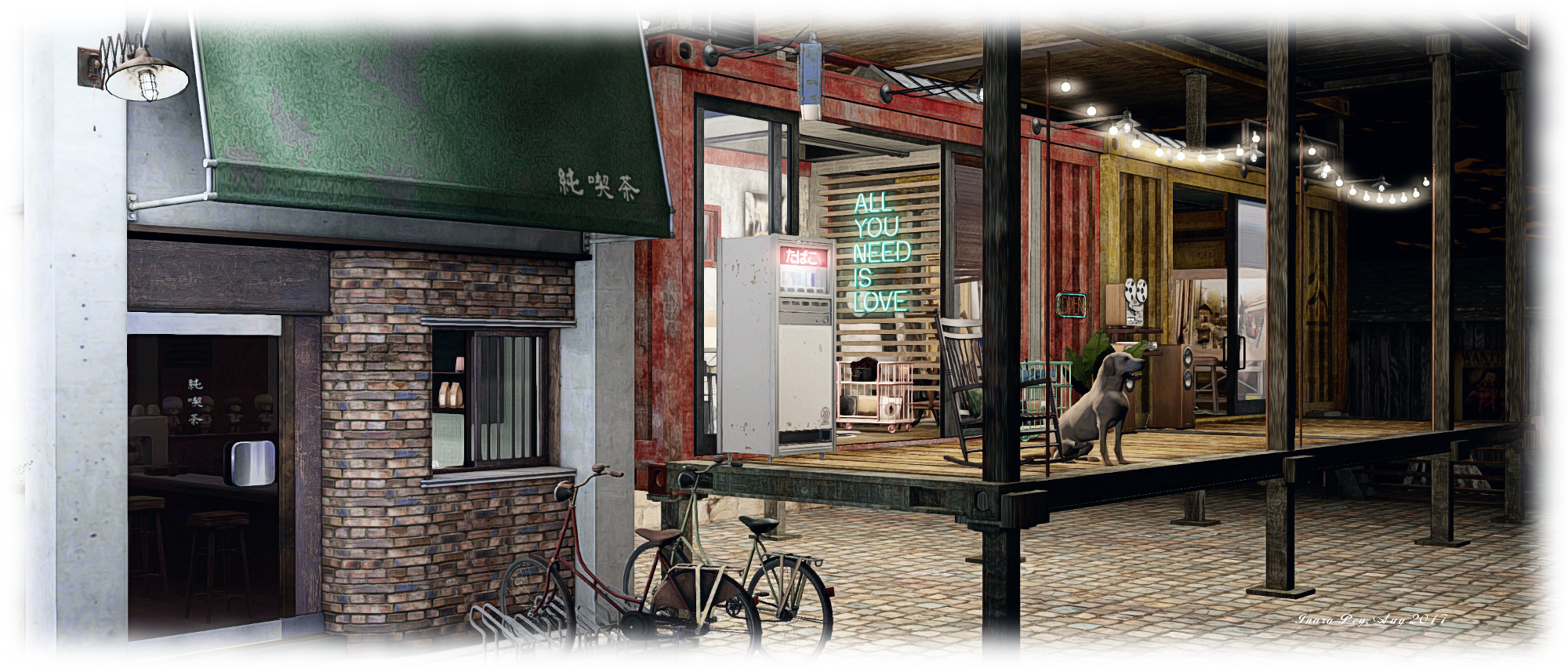
This upper level road comprises a small motel, not exactly in its prime, and neighbouring cafés and eateries before it ends in a rickety looking, but quite sound, set of wooden steps and walkway raised on a wooden scaffold. These provide access to the remaining levels in the build – a railway carrying viaduct with a canal below. More little boutique café sit on platforms under the arches of the viaduct, reached by a wooden walkway running parallel to the bridge. These little eateries face an entertainment stage built out over the canal and a modest floating restaurant.

Long Journey Cafe; Inara Pey, February 2017, on FlickrLong Journey Cafe

Follow the board walk along the canal far enough, and you’ll find steps offering a way back up to the tram level and another little street of shops, or wooden stairs making their way up the railway line. Nor is this all; a second set of steps descend from the elevated walkway, giving access to the large warehouse sitting at the northern end of the parcel, while the path around the film camera sitting at the end of the tram station can be used to reach a tattoo parlour, if you’re so inclined.

All of this is presided over by the tall figure of an Indonesian statue – although this, and many of the details in the region may not always be easily seen. On our first visit, Caitlyn and I arrived at night, with snow falling and which showed up the local lighting to good effect; it also meant we had to explore carefully in order not to miss anything. However, on a return visit, 24 hours later, the parcel was bathed in sunlight, suggesting its environment changes according to the owner’s whim or perhaps a schedule.

Long Journey Cafe; Inara Pey, February 2017, on FlickrLong Journey Cafe

Yang (Sun2idea) has an eye for detail, and this latest iteration of Long Journey demonstrates this once again.

SLurl Details

A Viking Lost Dream in Second Life

Les Reves Perdus; Inara Pey, August 2017, on Flickr Les Reves Perdus – click any image for full size

I try to avoid returning to regions visited as a part of my Exploring Second Life series too soon after blogging about them. However, a tweet from friend Miro Collas prompted me to suggest to Caitlyn we head back to Les Reves Perdus (“Dreams Lost”), the homestead region designed by Chanell (zaziaa) for another look despite having only blogged about it in June.

As Miro pointed out in his tweet, a lot has changed in the two months since that visit. The provincial look has now gone, replaced with something far more Nordic in expression, but which is nonetheless as photogenic, particularly under the right environmental conditions.

Les Reves Perdus; Inara Pey, August 2017, on Flickr Les Reves Perdus

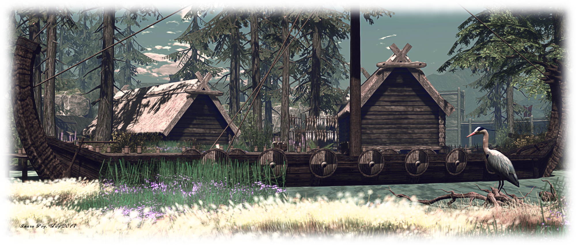
The setting is a Viking settlement, the surrounding hills and waves breaking in the distance beyond them suggesting it is perhaps set upon an island towards the mouth of a fjord or deep-cut river valley. A visit begins towards the centre of the island, on a small bridge linking the low-lying village with a set of fortifications. The latter has tall wooden walls marching between square towers which look ready to withstand attackers – but which also appear to be protecting a flooded area of land or a former inlet, rather than the village itself.

This arrangement at first seems a little odd: the village sits on a low-lying stretch of land between the fortifications and the high cliffs of a plateau to the east, open to access from the surrounding waters – which are deep enough for longships to sail or row right up to the wharves. It thus seems to be without protection, exposed to any attack which may come. Where one might expect the village to nestle, within the protection of the fort-like walls and towers, horses and sheep graze beside the inland waters.

Les Reves Perdus; Inara Pey, August 2017, on Flickr Les Reves Perdus

Perhaps the walls and towers are the remnants of a more violent time, when there was a need for fortifications. Perhaps they once completely encircled the lowlands of the island, joining at either end with the rocks of the plateau, but more peaceful times and circumstance led to the removal of part of their protection  to make way for the village buildings.

Whatever the reason, the village sits on open land, thatched huts and semi-stone barns offering homes and shelter for animals. Goats, chickens and cattle roam the gasses outside the huts as fires burn to cure cut meat and racks of fish are being dried on the wharves. Across the strip of water from the wharves sits an ancient circle of standing stones, a henge suggesting this island has been settled in the past as well.  Elsewhere, longships lie off-shore or moored close to the village – one of which is even ablaze, although I suspect this might be a funeral ship, rather than it being aflame as a result of battle.

Les Reves Perdus; Inara Pey, August 2017, on Flickr Les Reves Perdus

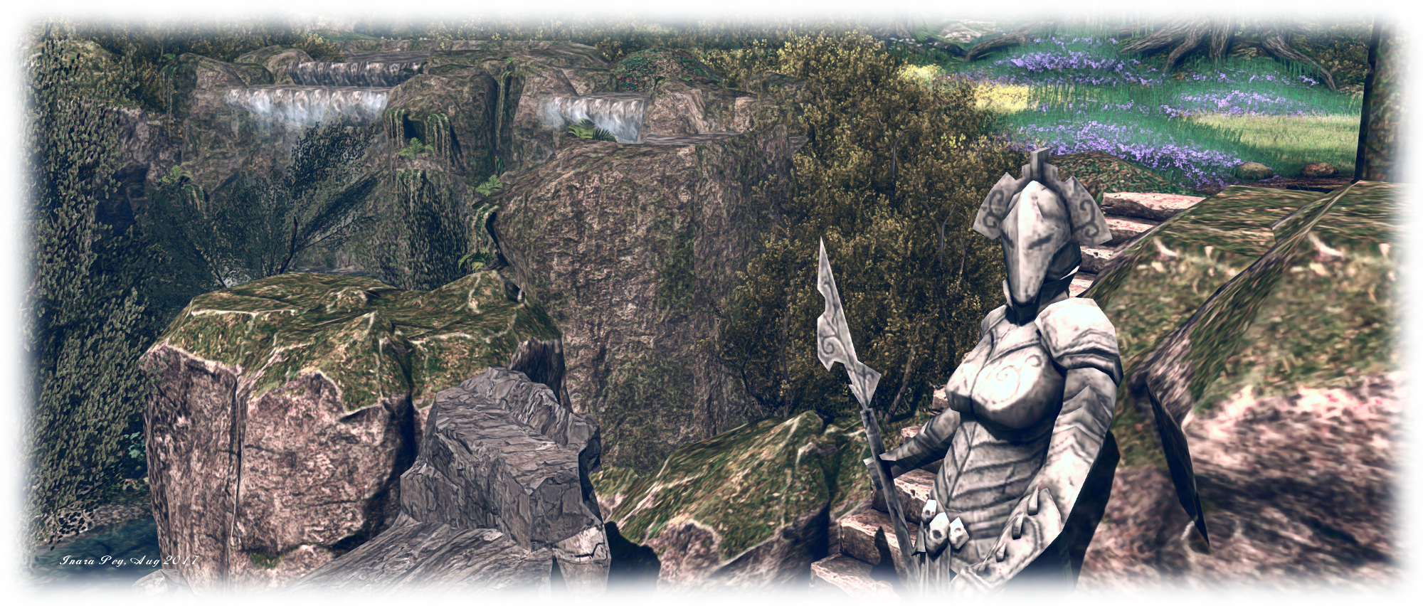
The high plateau, reached by steps cut into the living rock, passing a tall statue as they climb upwards, is home to a great hall, where fires burn, plans are being made. It’s easy to imagine much carousing and drinking of ale and mead within its walls in the long evenings.  Although the fort-like walls run outward from the plateau, there is no way to reach them easily, other than scrambling over the rocks; nor is there any way to get up to their walkways from the lower ground areas. Whether this is intentional or the result of the region still being tweaked, I’ve no idea.

This is in some respects an oddly eclectic region design, About Land suggesting it is for exploration and perhaps role-play. While the design is primarily Norse, there are also oddities hinting at other genres / activities. There is, for example a very fantasy-leaning collection of statues representing the four elements, while the great hall contains a medieval iron maiden in one corner. But none of this detracts from the setting offering good opportunities for photography (with a suitable windlight selected) and exploration.

Les Reves Perdus; Inara Pey, August 2017, on Flickr Les Reves Perdus

SLurl Details