The stunning beauty of Souls of Dreams in Second Life

Souls of Dreams, September 2020 – click any image for full size

We first visited visited Xana Newall’s Souls of Dreams in November 2019 (see: Souls of Dreams in Second Life). A captivating design built by Loly Hallison with added décor from Xana, at that time it occupied a Homestead region. Well, time has moved on since then, and so has Souls of Dreams, with Xana relocating to a Full region and bringing in Busta (BadboyHi) to provide the a new look.

Busta is responsible for a range of captivating region designs across Second Life, many of which I’ve covered in these pages since 2016. It’s something I’m always happy to do, as he really does produce designs that are worth seeing; and with the new Souls of Dreams (which at the time of our visits, he was busily completing), Busta has produced something truly exceptional.

Souls of Dreams, September 2020

A visit commences on the south side of the region on a wide terrace complete with waterside structures that have something of an ancient Greece feel to them. Steps slip gently down into the shallow waters on two sides, the water also being the home to an expanse of marsh plants floating on its surface.

These marshy waters continue on around to the west side of the island, beyond a growth of tall mangroves, to where wooden board walks span faster-moving waters fed via a variety of falls tumbling out of the region’s uplands.  Beyond these, flat shingle runs sit between the high cliffs and the water, moss-covered stone slabs suggesting a path or terrace may once have lain across them, wooden bridges offering crossings where water continues to flow outward from further falls.

Souls of Dreams, September 2020

Rounding the island to the north, the path offers wooden steps leading up to the higher ground, guarded at their top by an old warehouse now converted into a place of residence. This is furnished by Xana, who once again has offered plenty of touches of her own throughout the region to help bring it to life, and is open to the public to explore inside. For those who prefer, the path at the base of the cliffs continues onwards to the east, passing a beach and further opportunities to move inland via by rocky path or rough wooden steps, before it arrives at a headland house, also open for exploration.

And that’s just the start of things for the region – indeed, given it is reached by skirting the mangroves and following a path lying in the shadow of the cliffs that rise behind them, it is really the least obvious route of exploration for arriving visitors. This is because immediately to the east of the landing point (and visible from it) sits the bulk of what appears to be a small seafront town beckons, reached by way of a small flagstoned and gated terrace and two gently arching bridges which a distinctly Dutch flavour to them.

Souls of Dreams, September 2020

Within the archways leading into the town, the Dutch feeling is for me heightened both by the tall forms of the buildings used to define it, and the narrow, stone-sided waterways spanned by cobbled bridges, that have more of a feeling of canals rather than that of a simple mooring basin for boats. Though it may occupy less than a quarter of the region, the little town is very evocative of parts of Amsterdam and Rotterdam, and has plenty to offer the camera lens both within and around it.

Cut off from the rest of the region by two narrow channels of water, the town is nevertheless very much a part of the whole, not just joined to it by the bridges that physically link it with the rest of the setting, but because Busta’s design offers a marvellous blending of locations and styles.

Souls of Dreams, September 2020

There’s the aforementioned landing point with its Mediterranean hints, the town with its Dutch twist, suggestions of terraces and paved areas of great age mixed with beaches and a curving bay backed by ancient walls that also sit behind a more recent  terraced bar, and the Tuscan villa lying in the lee of the island’s highest peak.  This is reached via a number of paths, be they stone steps, rocky trail or rutted track, and is again open to exploration. And off of these elements are richly and marvellously presented, drawn together into a single and quite natural whole both by the various paths and trails that link them, and by the green stitching of foliage provided by great oaks and smaller maples.

To catalogue everything here would be a waste, as Souls of Dreams needs to be not just seen, but savoured. Places abound where visitors can sit and relax, whilst joining the local group for L$250 gives photographers rezzing rights for props (do remember to pick them up afterwards!). But truly, there is so much to see and appreciate here that you’re going to want to set aside plenty of time for wandering and finding all the paths and touches; and even then,it’s likely the region will call you back because the region really is that attractive.

Souls of Dreams, September 2020

Definitely not a place to miss, although given the amount of detail, some adjustment to viewer settings might be required to ease moving around comfortably if you tend to have a lot of rendering options turned up).

With thanks to Loverdag by way of Annie Brightstar for the pointer. 

SLurl Details

The Rusty Nail in Second Life

The Rusty Nail, December 2019 – click any image for full size

The Rusty Nail is a new Homestead region designed by BadboyHi offering a mix of photogenic setting open to the public and four rental opportunities for those seeking a Second Life home. We were pointed to it by Shawn Shakespeare, and were also welcomed by BayboyHi (aka Busta), who has been keeping himself busy with a number of designs of late.

For The Rusty Nail, he presents a rugged, hilly island that has a sense of being somewhere in the tropics, although the fauna clearly indicates it is very temperate in climate. The coastal areas to the south-west and along the western side of the region offer shale and muddy flats deeply cut by inlets that are crossed by low wooden bridges and board walks and are home to a smattering of trees and bushes.

The Rusty Nail, December 2019

The landing point is tucked into the south-western corner of these lowlands, where a shack sits on a raised platform over a mud flat, the shale before it presenting space for music and dancing. A path runs eastwards from here, spanning one of the inlets via two of the aforementioned board walks and bridges, a careworn path on the far side of the bridge running up a shallow channel that appears to have at one time been cut into the rocks there by water action. The path ends at the gate of one of the rental properties – so please avoid trespassing further if the house appears to have been rented.

The rentals should be mentioned here as they have clearly been selected with care to match the environment. All four sit on decently-sized parcels and are all unique to one another in style. They are separated such that it’s possible for any occupants to feel as if they are the only ones living on the island. Three of the houses are perched just above the south, east and north coastlines of the island, presenting seaward views, with two having direct private access to the water.  The third sits up and back from the water, with a short finger of public waterfront between it and the sea –  although given the lay of the coast to the west of it, it is unlikely explorers wandering to it will be a problem.

The Rusty Nail, December 2019

The fourth house sits more inland compared to the others, occupying the shoulder of an east side island that affords it good views over the open sea to the south and east, and which is particularly notable for being located above the island’s river valley. The latter is home to a café bar sitting on a deck overlooking the clear waters of a quite broad stream that bubbles up from a pair of springs nestled at the foot of the hills closing off the inland side of the cove, before flowing out to meet the sea.

Presenting a slightly oriental look, the café is open to visitors and residents of the island and offers a convivial meeting point. A ladder that dips into the waters from the side of the deck suggests swimming in the stream is allowed – a low-slung bridge at the stream’s mouth ensures it is not open to water vehicles – although the water looks a little too cold for casual dipping. Board walks on either side of the cove provide access to two of the rental properties, so again, do be aware of the risk of trespass if exploring beyond the café and its deck.

The Rusty Nail, December 2019

Those venturing to the north-east corner of the island will find another public space. This is home to a copper brazier in which a warm fire is blazing, a semi-circle of trunks converted into seating and a hot chocolate bar enclosing it in the arms of a cosy semi-circle. A deck steps out over another mud flat close by, the height of its legs suggesting the mud beneath it may well be flooded by incoming tides.

For photographers, The Rusty Nail offers a lot to occupy the eye and camera, while those seeking a home may find the size of the properties here (which all appear to be pre-furnished) attractive – rental information and LI allowances can be obtained from the rental boards located in each parcel.

The Rusty Nail, December 2019

SLurl Details

The peaceful wilderness of [Valium] in Second Life

[Valium]; Inara Pey, December 2018, on Flickr
[valium] – click any image for full size
Updated, January 2020: [Valium] has closed. SLurls have therefore been removed from this article.

[valium] is the name of the latest region design by Busta (BadboyHi) and held by Valium Lavender and to which I was pointed to by fellow SL traveller, Shakespeare. Busta’s designs are always been worthy of a visit (you can find out about Yasminia here and Meraki here), so I was keen to hop over and explore as the region officially opened its doors to the public on December 21st, 2018. And once again, both Busta and Valium are providing a region that is quite extraordinary in its eye-catching design.

A full region utilising the full region land capacity bonus, [Valium] is open to the public, although group membership is required. This is currently free, and will remain so through until January 7th, 2019, after which a L$250 fee will be applied. The latter is to both help with maintaining a certain sense of privacy for those renting properties on the region, and for a reason that will become clear later in this article. There are many places to be explored during a visit, but do be aware that there are the aforementioned private residences scattered around the region, so please do take care to avoid trespass when exploring.

[Valium]; Inara Pey, December 2018, on Flickr
[valium]

The Vision

To create a picturesque, rugged countryside setting with naturally beautiful nooks, twists, turns and hidden gems for public and private use. There are many public areas to explore and it will probably take several visits to see everything the sim has to offer.

– Valium Lavender, describing [Valium]

[Valium]; Inara Pey, December 2018, on Flickr
[valium]
This is a marvellously diverse setting, ranging from high peaks to coastal areas, mixing little docks, headlands, remote dwellings, ruins, and islands (albeit one or two of them being off-sim).

The landing point sits towards the centre of the region, meaning that no matter where you go, there is something to explore. A terraced area, it overlooks the low-lying western side of the region where the ruins of a church sits on the largest of the region’s islands, beckoning visits to it as it rises among the trees guarding it.

[Valium]; Inara Pey, December 2018, on Flickr
[valium]
While this island is connected to the rest of the land by three bridges, getting down to them from the landing point is a little circuitous, ensuring visitors have the opportunity to start explorations, as the route carries them over semi-paved areas, past the ruins of an old farmhouse (with one of the private residences just behind it), and on to the waterfront or for those who prefer, past an old folly and then down to the water’s edge, and second of the three bridges.

It is the multitude of footpaths that make exploring [Valium] a joy. Whether you go up or down, inland or directly (or as directly as you can!) to the coast, there is much to discover, appreciate and photograph. There’s the ruin of an old tower facing the church, for example, or the rickety cabin build out over the water to the north, caught in a local shower, or a further terrace sitting just above, and nestled below and clear of another of the private residences.

[Valium]; Inara Pey, December 2018, on Flickr
[valium]
To the south-east sits a little commercial area, with a coffee-house sitting within a converted industrial building and offering outdoor seating with views of the local lighthouse. A further coffee-house, this one also providing music and dancing, sits on a wooden platform part-way up the island’s main peak, again offering marvellous views to the south and west.

There is so much about this region that is attention-taking that walking you through it with words is really a waste; [valium] truly is a place that deserves to be visited, and which can only be truly appreciated by doing so. There’s also another reason for visiting (and paying the group dues: Valium has decided a portion of the group membership fees, etc., will be forwarded to The Nature Conservancy, as she notes in the region’s website.

[Valium]; Inara Pey, December 2018, on Flickr
[valium]

[valium], a project from initial concept to the elaborate build, was created from visions of our naturally beautiful RL world. A place to explore and appreciate. With this in mind, I have decided to support a fantastic charity, The Nature Conservancy.

3400 lindens or more (out of group fees) per month [are donated] to The Nature Conservancy, a non-profit organization dedicated to land conservation and protection. Every acre they protect, every river mile restored, every species brought back from the brink, begins with us. Our support will help make a lasting difference around the world in 72 countries.

– Valium Lavender, describing [Valium]


[Valium]; Inara Pey, December 2018, on Flickr
[valium]
I believe that until the group fee is introduced, there will be a donations kiosk available at the landing point, while if visitors would like to donate directly to the Nature Conservancy, there is a link on the information board and also in the [Valium] website. Should you take photos of the region during your visit, do consider sharing them with the region’s Flickr group.

Kudos to Busta and Valium on creating such an wonderful setting.

Meraki Islands in Second Life

Meraki Islands; Inara Pey, February 2018, on Flickr Meraki Islands – click on any image for full size

Meraki Islands, on the homestead region of Felicitie Isle, is a group build by Nïc H Bour (NicBor) and Busta (BadboyHi). It is currently home to Etnia, the store operated by Mika Whitesong-Holloway (Mika Whitesong), and offers visitors a perfectly landscaped environment to explore and appreciate.

It was actually Busta’s involvement in the design which encouraged me to visit. He was responsible for the enchanting Yasminia, which Caitlyn and I visited in 2016 and 2017, so I was keen to discover what Meraki Islands had to offer.

Meraki Islands; Inara Pey, February 2018, on Flickr Meraki Islands

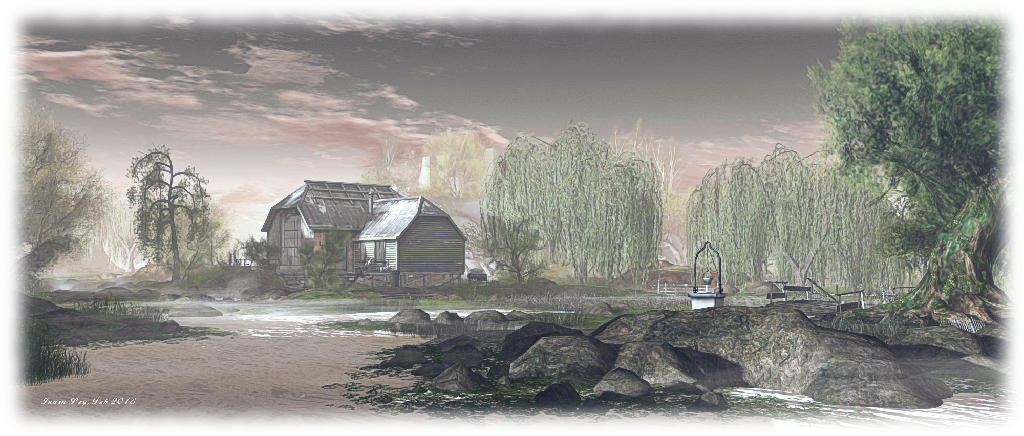
Predominantly flat, the landscape has a wonderful wetland feel to it, water cutting channels through the northern side of the region, seemingly at random, trees and bushes offering shade. A single  table of rock rises from the south-east corner of the region, a crown of silver birch trees on its top surrounding the walls of Etnia, reached by a single stepped footpath winding up the side of the platform.

A broad strip of land runs west from this, separating the wetlands on the north side of the region from the open waters south of it, before turning north to where a farmhouse sits slightly elevated above a flagged courtyard with a pair of houses on one side. Unfurnished, those look out across the wetlands, in the middle of which sits an out warehouse building, re-purposed as a simply furnished cosy spot.

Meraki Islands; Inara Pey, February 2018, on Flickr Meraki Islands

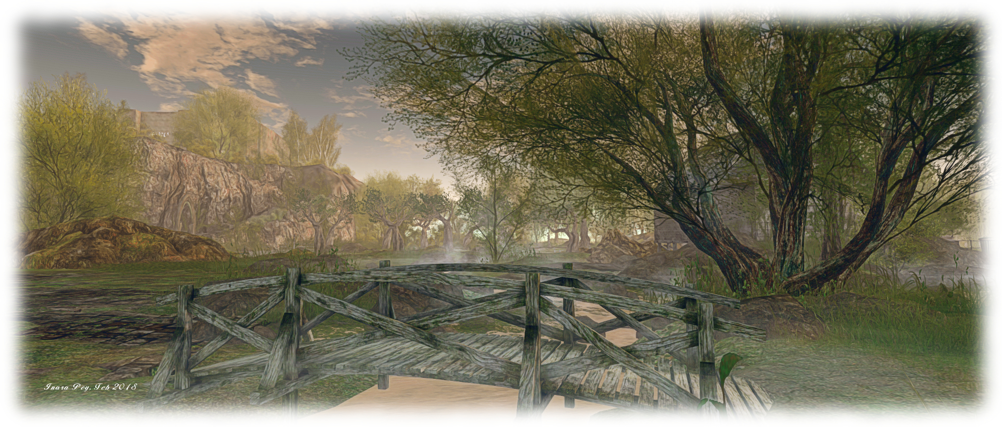
The warehouse and houses aren’t the only structures; there is a second farmhouse on the south finger of land, while scattered around the water channels are old walls, a disused greenhouse, a folly and bridges offering routes over the water and between the many fingers of land between the narrow channels. One of these bridge leads eastwards to the neighbouring region, which at the time of my visit was still being designed – again by Busta, suggesting a reason to return for a future visit.

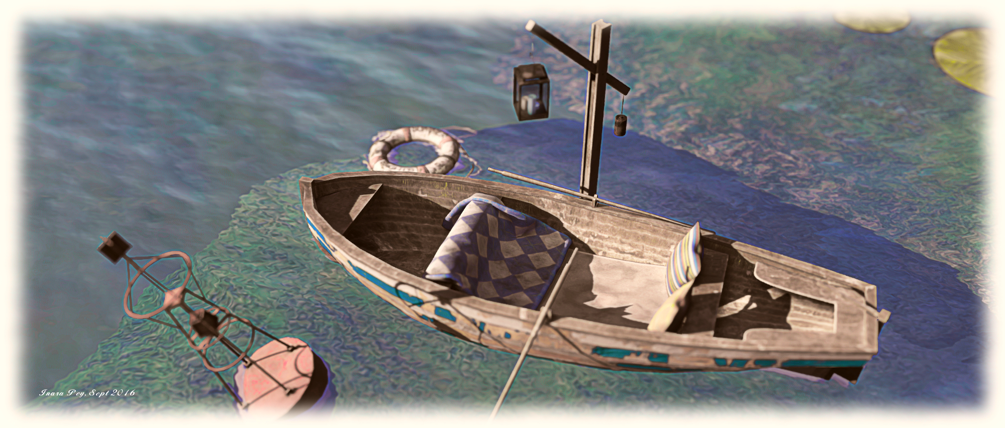
If this all sounds simple in design, it’s because it is – and in being so, it is also elegant and highly photogenic. There is a sense of serenity about the region which not only encourages exploration, but gives people plenty of reasons to stay. Scattered over the waters are rowing boats offering gently rocking places to sit and appreciate the setting, while the coastal and inland paths offer further places for couples to sit.

Meraki Islands; Inara Pey, February 2018, on Flickr Meraki Islands

A further charm with the region is that it looks out over its neighbours to the west and north. This gives Meraki Islands a sense of place in the world – although be aware that the neighbouring regions are private homes and not open to the general public. There are other points of attraction as well such as the avenue of trees bent over the channel running around the foot of the south-eastern plateau.

In all, this is a veritable tour de force of region design. Simple yet elegant, subtle in touch. The measure of care taken with the build is exquisite, the presentation wholly natural from the cut of the waterways in the wetlands through the selection of the trees – particularly the weeping willows – to the dressing of things such as the steps up to the store.

Meraki Islands; Inara Pey, February 2018, on Flickr Meraki Islands

Definitely not something to be missed.

SLurl Details

An August return to Yasminia in Second Life

Yasminia, Yasminia; Inara Pey, August 2017, on Flickr Yasminia – click any image for full size

It’s been almost a year since Caitlyn and I first visited Yasminia, the homestead region designed by Busta (BadboyHi). At the time, he’d opened the region to the public for a limited time and was planning to close it once more. However, such has been the response from visitors, he decided to leave it available to public access and continue to offer people a chance to visit – and I’m happy to report it remains open to all.

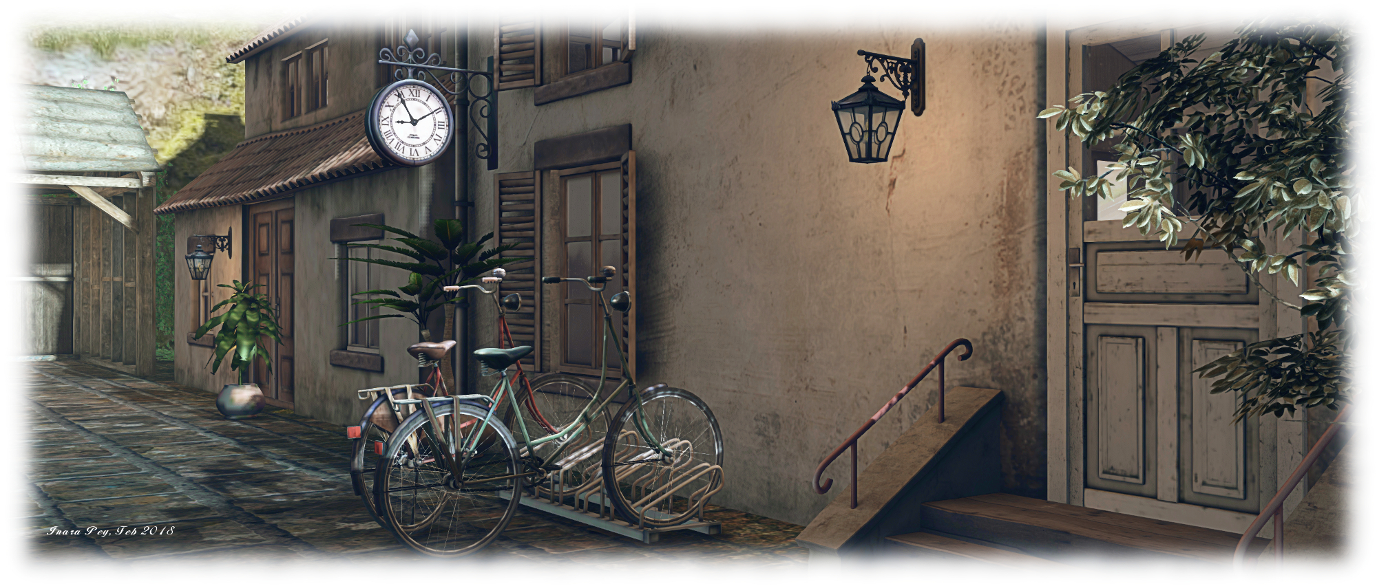
Beack then Yasminia was a very pastoral setting with open fields and horses grazing, offering visitors a photogenic delight. Today’s Yasminia is very different look – albeit one no less photogenic. The largely pastoral setting has given way to one that is more mixed – still rural, but with the corner of a small town poking into it, suggesting a place where the countryside meets a more urban setting.

Yasminia, Yasminia; Inara Pey, August 2017, on Flickr Yasminia

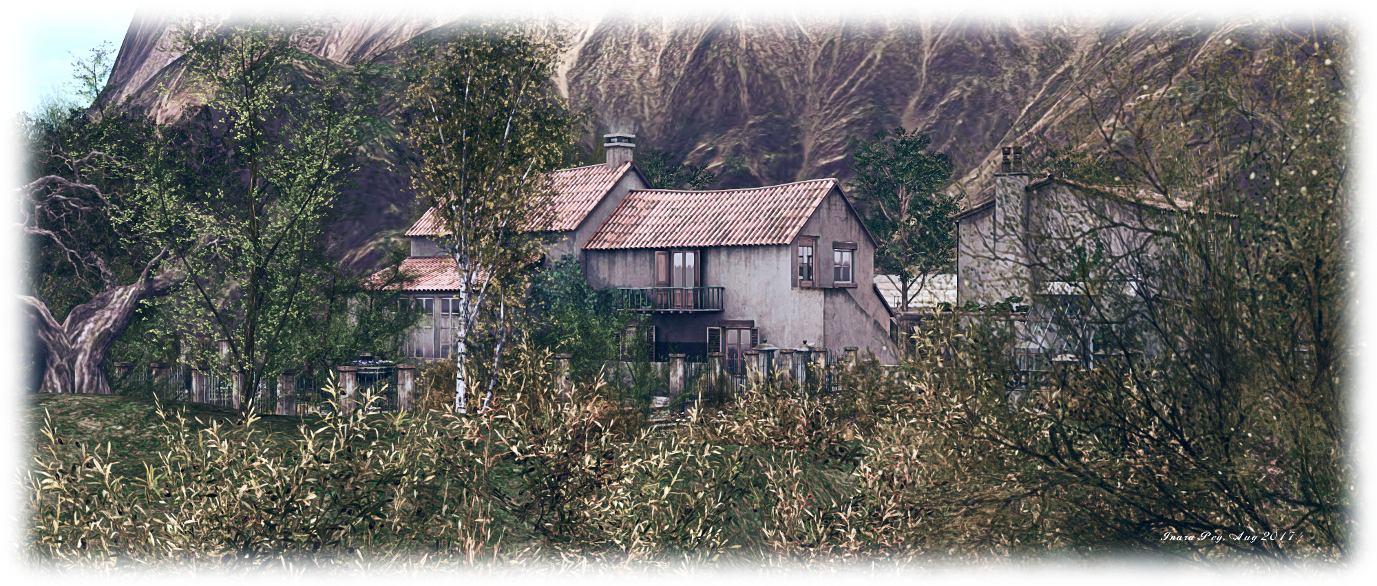
Where you begin a visit is entirely up to you, as no landing point is set. Opting for the default central arrival point on the region will deliver you to the edge of the little town. Rather than use that, however, the SLurl I’m using here will drop you off towards the north-west corner of the region, on a track running southwards above a ribbon of beach.  This can be reached via a set of stone steps descending the slope between track and sand, while across the track sit houses and outbuildings arranged around a courtyard and fronted by a paved garden with fountain and water feature. The courtyard, with its outdoor table set out with soup pots, wine and bread, makes for the ideal place to return to following a walk through the rest of the region.

The track winds its way down through the timberline towards the little town, running south and then west, offering a relaxing walk down to where the paved road running through this corner of civilisation starts. Those wishing a shorter route can walk through the gardens fronting the houses,  then take another set of stairs down to the north-eastern edge of the town, where just a few steps will bring you to the road and its companion footpath.

Yasminia, Yasminia; Inara Pey, August 2017, on Flickr Yasminia

Careworn buildings line either side of the road – this is perhaps not the most prosperous place nestled within the surrounding peaks. A small chapel sits alongside the road, the tall tower of what might be a granary rising beyond it and standing sentinel between two small bays which cut their way into the land. One of these, overlooked by a broad, paved terrace set as an outdoor café, offers mooring for boats and a scenic look out over the broader bay separating Yasminia from the surrounding mountains.

The buildings backing onto the cafe terrace may all once have been thriving businesses; now however, they are run-down, deserted and empty, their windows shuttered or with blinds drawn, life having apparently moved on. Only the gas station / auto shop appears to still be doing business, perhaps the last hanger-on, even as the dirt of the tracks either end of the street encroach on its paved surface.

Yasminia, Yasminia; Inara Pey, August 2017, on Flickr Yasminia

If the apparent desertion of the town is a little too much, follow the road and track north and then east as it curls around the base of the uplands on which the houses sit. It will lead you back to the beach. Here can be found signs of life aplenty: surfboards upended in the sand, chairs and seating ranged under canvas awnings, a beach side disco with dancing on the sand, fire pits, and sun loungers pairing their way down the longer ribbon of west-facing beach, presenting couples with plenty of room to relax under the sun.

Today, as noted, Yasminia presents a very different face to the world than a year ago – but one which has its own unique beauty, with places to relax and that three-sided courtyard ready to greet visitors with wine and food and the chance for friendly conversation.

Yasminia, Yasminia; Inara Pey, August 2017, on Flickr Yasminia

SLurl Details

Yasminia: pastoral peace in Second Life

Yasminia; Inara Pey, September 2016, on Flickr Yasminia – click any image for full size

“The plan was to close it, but I don’t mind people coming to see it really,” Busta (BadboyHi) says of Yasminia, his homestead region. He’d originally opened it to public access for a limited time, the original intention being to close at the end of August. However, When I dropped in recently, it was still accesible and Busta indicated there was no immediate plan to close. “So yes, you are welcome to come see :)”, he told me.

I’d actually come across Yasimina via Loverdag’s fabulous photos of the region back in August, and dropped in shortly before the end of the month to have a look around for myself. I didn’t blog then because of the word it would be closing. However, Following Busta’s confirmation, I jumped back for another explore and a round of picture-taking.

Yasminia; Inara Pey, September 2016, on Flickr Yasminia

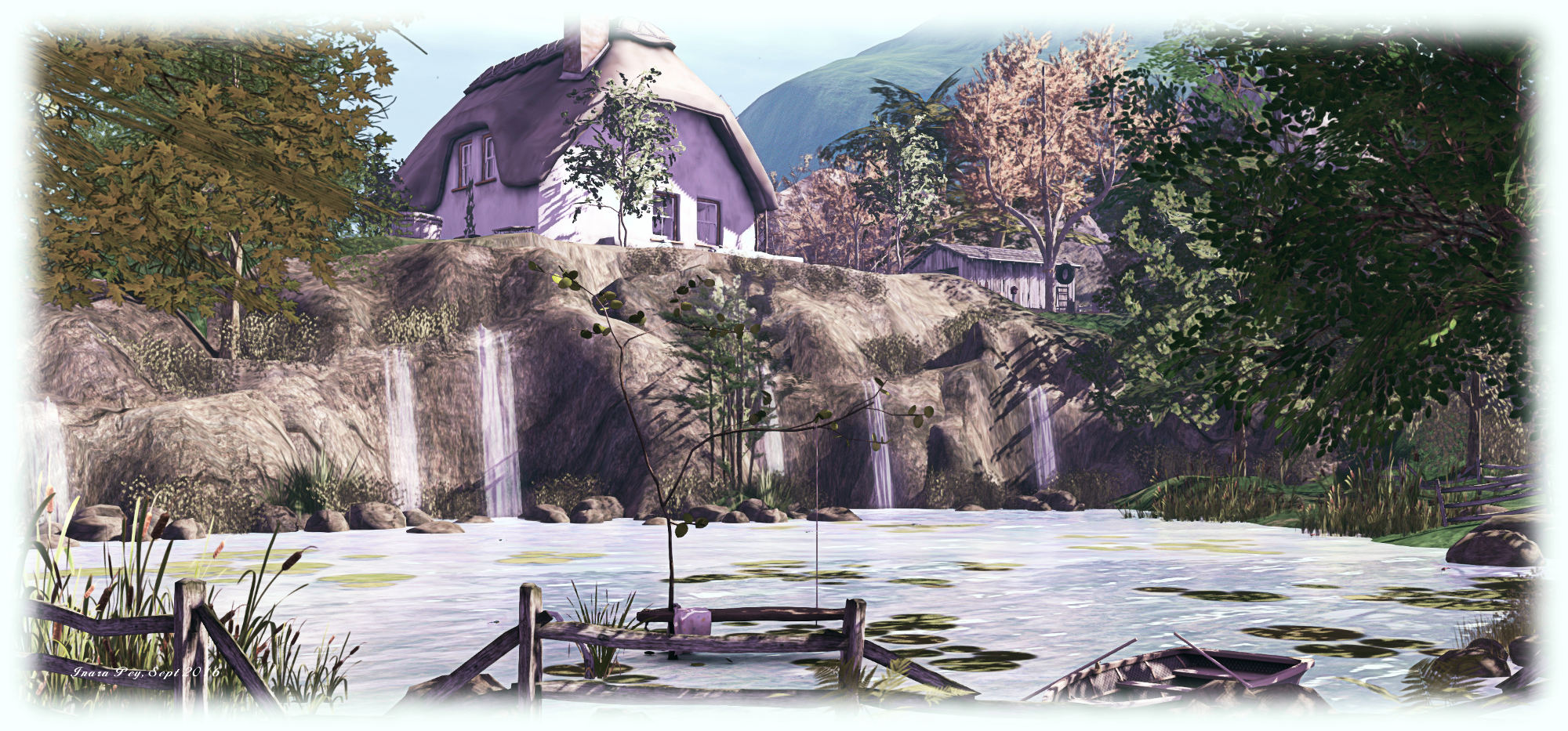
This is a simple pastoral region, offering a landscape idea for wandering and escaping the world and which rolls from rocky hills to low-lying pastures cut by waterlogged land and channels spanned by wooden bridges; a place where trees offer shade from the sun and rutted tracks lead the visitor onwards and the air is vibrant with nature’s many sounds.

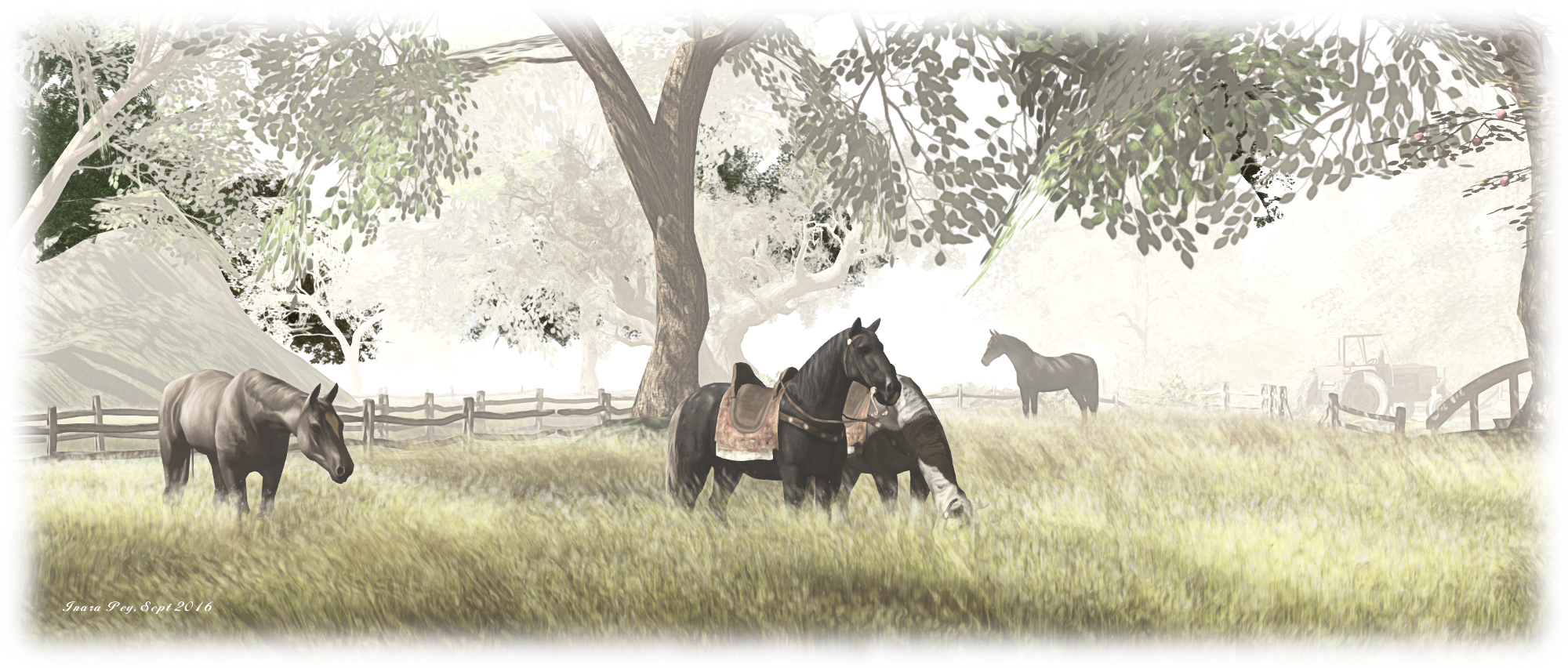
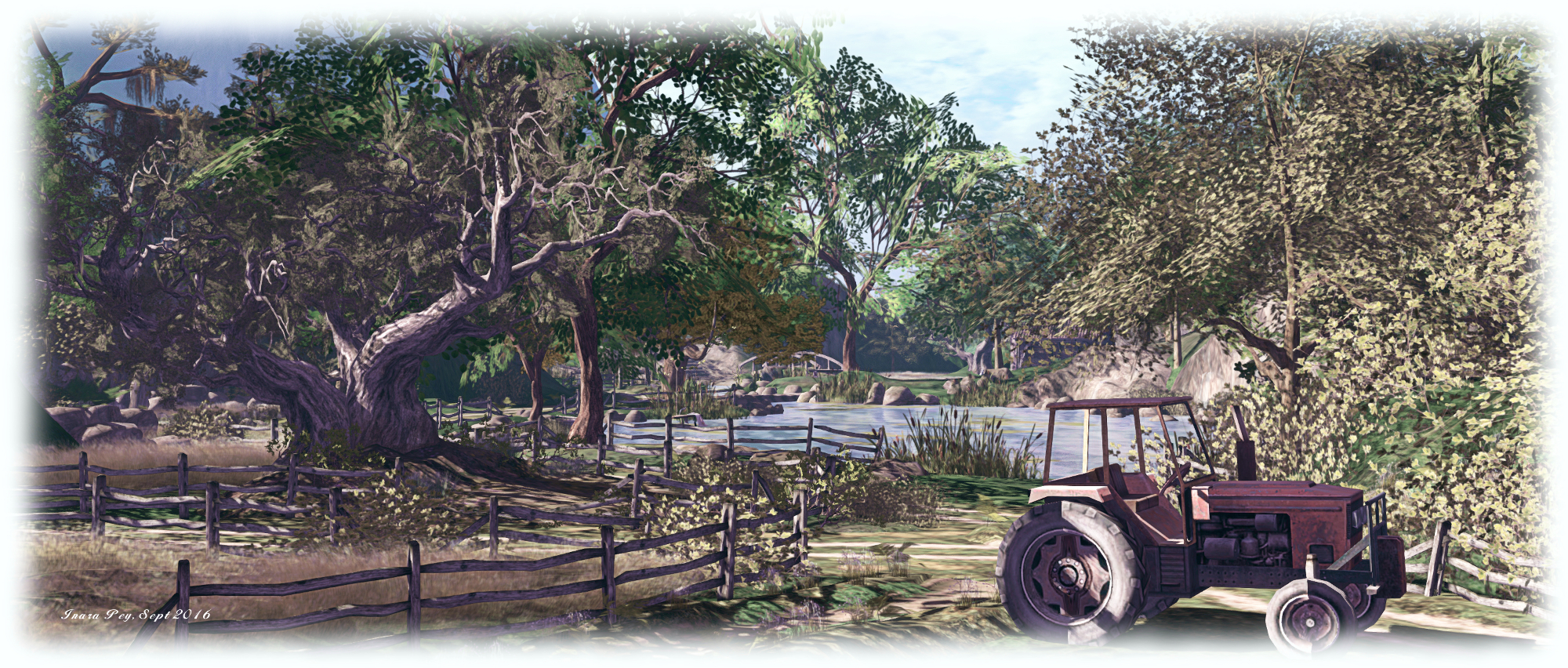
A farmhouse sits on a ledge of rocky land on the east side of the region, where the sails of a windmill turn in a gentle breeze, and ducks, geese and chickens wander the grassy yard. Down a path and a track from here – visitors have a choice of routes – fields sit alongside the calm waters, horses grazing contentedly. A tractor is parked to one side of the tracks, speaking to this being very much a working farm.

Yasminia; Inara Pey, September 2016, on Flickr Yasminia

A footpath to one side of the tractor offers the way down between fences and onward over a small bridge to where apples are being plucked from their trees. A second bridge – this one of stone – then provides the means to reach a little gathering of chairs and sofas at the water’s edge – a place, perhaps, where those from the farm come to sit at the end of a long day’s work. It is one of several little posts visitors might find in their wanderings where they might sit and rest, and if so minded, enjoy a little cuddle.

The beauty of Yasminia is in its simplicity; beyond the farm, the region lies uncluttered with signs of living, yet has enough to offer the curious or those seeking a place to relax with a friend. The trees grow tall, the cuddle spots are widely separated to ensure some privacy, and the footpaths and tracks make for an amiable walk, accompanied by the region’s soft, natural sound scape as the surrounding hills beyond the region give it a feeling of intimacy.

Yasminia; Inara Pey, September 2016, on Flickr Yasminia

The region has a neutral windlight, but the design is such that it offers itself to most settings with equal beauty, making it an ideal location for photography, as I hope my efforts here show, all of which were intentionally taken using a different preset, suitably adjusted.

Many thanks to Busta for offering his creation for us all to enjoy – and a belated happy rezday as well!

SLurl Details