KSAA Music Commune in Second Life

KSAA Music Commune; Inara Pey, April 2019, on FlickrKSAA Music Commune – click any image for full size

Located on the Homestead of Imagine Hall, the KSAA Music Commune is a curious region design, developed by a group of Japanese users to – as the name implies – promote their local music.

I say curious, because the overall design is a highly eclectic mix of elements with no discernible theme, but which somehow come together and work in a manner that – whether or not you attend any events there – presents itself as a photogenic environment that might best be described as, “rural shabby”.

KSAA Music Commune; Inara Pey, April 2019, on FlickrKSAA Music Commune

I will start by offering a word of caution: be sure not to step back from the landing point on arrival. It’s tempting to do so, as you land at the foot of a step ladder, but the landing point is actually on the lip of a drop of around 4-5 metres, which can lead to a little confusion as stepping back can have you suddenly dropping / sliding downwards amidst a sea of grey as textures load and render…

The landing point is located on the region’s uplands on its west side. These form a shoe-like oval of grass and tree-topped rock that drops sharply down to the coast on the wets side, and fall in a long, graceful slope eastwards on the other, the grass slope forming a natural pasture / paddock.

KSAA Music Commune; Inara Pey, April 2019, on FlickrKSAA Music Commune

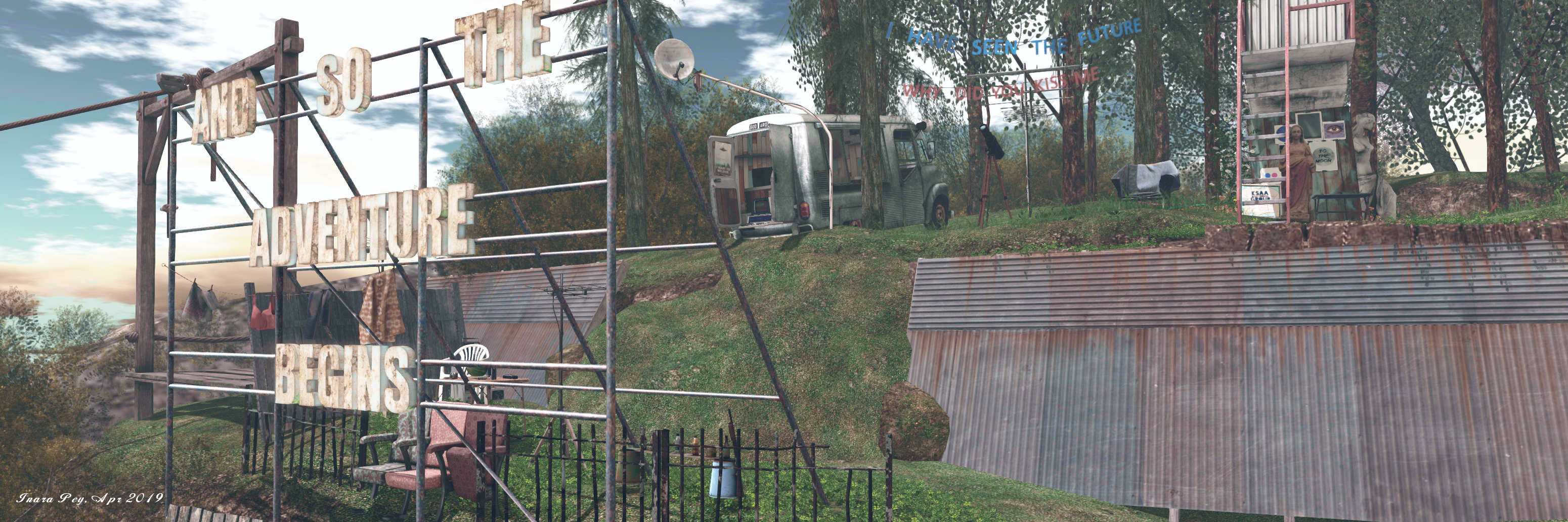
It is possible to walk down this slope from the landing point – but for those who need a faster form of transport, there is a zip line awaiting passengers. This will drop people towards the bottom of the sloping paddock, just before it steps down to a sandy headland marked by a junk yard and aged and deserted big top tent. The junk yard is a haven of mess and oddities, with the wrecks of old cars, the remnants of an auto repair shop, and old furniture mixing it up with children’s toys, bric-a-brac and – indoors – computer hardware belonging to a Steam gaming enthusiast.

The upland area of the island is encircled by a railway track / grass path / dirt track which starts and ends at the sandy headland. Follow it south and west, and the railway tracks will take you over a narrow shelf of grass and rock and across a couple of usual bridges to the western end of the island, directly under the high peak. Here the grass path takes over briefly, offering the way to the dirt road, and a little farm sitting in the lee of the cliffs, shaded by cherry blossom trees.

KSAA Music Commune; Inara Pey, April 2019, on FlickrKSAA Music Commune

Curling around to the north side of the island, the dusty road points visitors to a fork where they can either opt to turn off the road and enjoy the waterside view offered by a shanty bar (pedalo boats available from the rickety pier) and the small beach just past it. If preferred, visitors can continue up a tight, steep slope to arrive at the island’s main music venue, perched under a large water tower and overlooking the beach alongside the shanty bar. This is again an eclectic space, the dance area before the DJ’s “booth” largely taken up by a paddling pool. Beyond this, the road dips back down between dry stone walls to return to the junk yard.

There are various places to sit within the region, and plenty to attract the camera, although it is also true that perhaps a little more attention to detail is required; there are a fair few items floating serenely above the ground or over tables and desks and benches that can have one grumbling and / or grateful for the object derender button.

KSAA Music Commune; Inara Pey, April 2019, on FlickrKSAA Music Commune

I also can’t speak to the frequency of events in the region  – a second dance area can be found at the back of the junk yard – there were no in-world schedule boards apparent during our visit, and Group notices are in Japanese. However, there are Soundcloud links in the Profiles of some of the team responsible for the region, which may give a hint to the types of music played here. There is also a Flickr group for anyone who feels like contributing their photos.

SLurl Details

Welcome to the Hotel California in Second Life

Hotel California; Inara Pey, April 2019, on FlickrHotel California – click any image for full size

Hotel California is a Full region designed by Lex Machine (Schmexysbuddy) that we were made aware of by Miro Collas. It presents “A war torn land fighting its way back to beauty” where, “Life always finds a way”; and it makes for a curious visit with its mix of influences.

The landing point sits in the middle of a broken bridge that attempts to span the region, rooted in a high table of rock to the north, and pointing south towards a lower hill on the southern end of the region. However, before it reaches that point, it dissolves into ruin, the paved road vanishing, leaving just the piers on which the road once stood – and these are leaning haphazardly, a mature tree sitting between them, suggesting the bridge has been in a state of ruin for decades.

Hotel California; Inara Pey, April 2019, on FlickrHotel California

The table mountain with its small, rounded dome of a peak to one side, is home to the titular Hotel California – although unlike the song, it is probably not a place you can check-out of but never leave. Its dishevelled condition indicative that it hasn’t been in service for many years, the tree within its courtyard grown to a considerable size, the café within its shade suggestive wine hasn’t been served there for a long time.

Below the mountain, the region is primarily flat, sitting just above the surrounding water, the southern hills being the only other relief. This landscape is lush, with verdant grass and yellow rapeseed. deer roam here, although there are some signs of the war that apparently tore through the land at some point: the fuselage of a transport ‘plane, the shells of buildings, and the wreckage of vehicles, including a tank and a rather unusual flying … car.

Hotel California; Inara Pey, April 2019, on FlickrHotel California

A large house, sitting atop a hill, stands apart from the ruins in that it is intact, as if spared from whatever happened. Lightly furnished, it is too large to be a farm-house, its kitchen is well-stocked, its conservatory a place of well-tended plants. Hidden behind the house sits a survivalists bunker; suggesting the house is still in use.

A very localised storm is in full career atop the remaining hill, marked by a shattered lighthouse. Here the rain falls in sheets and the lightening is violent. It looks out over the western lowlands, offering a view of both a ruined rotunda and a passing Predator drone, its weapons pylons empty.

Hotel California; Inara Pey, April 2019, on FlickrHotel California

It is to the west that the region has – for me – its most interesting features. Just off the coast sits the ruin of a large, industrial-like building. It roof is gone, its walls and floors broken, the bare rusted metal of the smashed cement walls visible. A CND “shrine” sits within this broken building, but it is the scenes outside of it which hold the attention.

From the misted waters on one side of the building rise the great tentacles of what might be a Kraken, as if reaching to tear more of the structure down. Closer to shore, a group of statues are grouped, as if frozen in the act of fleeing to dry land. Or are they the petrified remains of people who once fled the now partially flooded building?

Hotel California; Inara Pey, April 2019, on FlickrHotel California

An unusual design for a region, one that is not at all the kind of apocalyptic setting one might expect from the About Land description, but which is photogenic and somewhat prone to fancy, as per the Kraken and water scene. Those wishing to obtain rezzing rights can do so by joining the Shutter Thugs group at the landing point. Photos taken at the region can also be submitted to the Shutter Thugs Flickr group.

Altogether a somewhat different and engaging visit.

Hotel California; Inara Pey, April 2019, on FlickrHotel California

SLurl Details

Art as a landscape in Second Life

Grauland; Inara Pey, March 2019, on FlickrGrauland – click any image for full size

Grauland is a homestead region held by JimGarand and home (in the sky) to his M-1 Art Poses, is one of the more unusual locations I’ve visited recently.

Described simply as a “photogenic sim”, it is actually far more than this; I would describe it more as a setting that presents art as a landscape.

Grauland; Inara Pey, March 2019, on FlickrGrauland

The landing point looks out over a section of coastline mindful of the Giant’s Causeway in County Antrim on Northern Ireland’s northern coast: Cube Republic’s marvellous Basalt columns step down to the sea before stretching out over the water in a slender finger. Several more frame the landing point, which includes a teleport up to the M-1 store.

Grauland; Inara Pey, March 2019, on FlickrGrauland

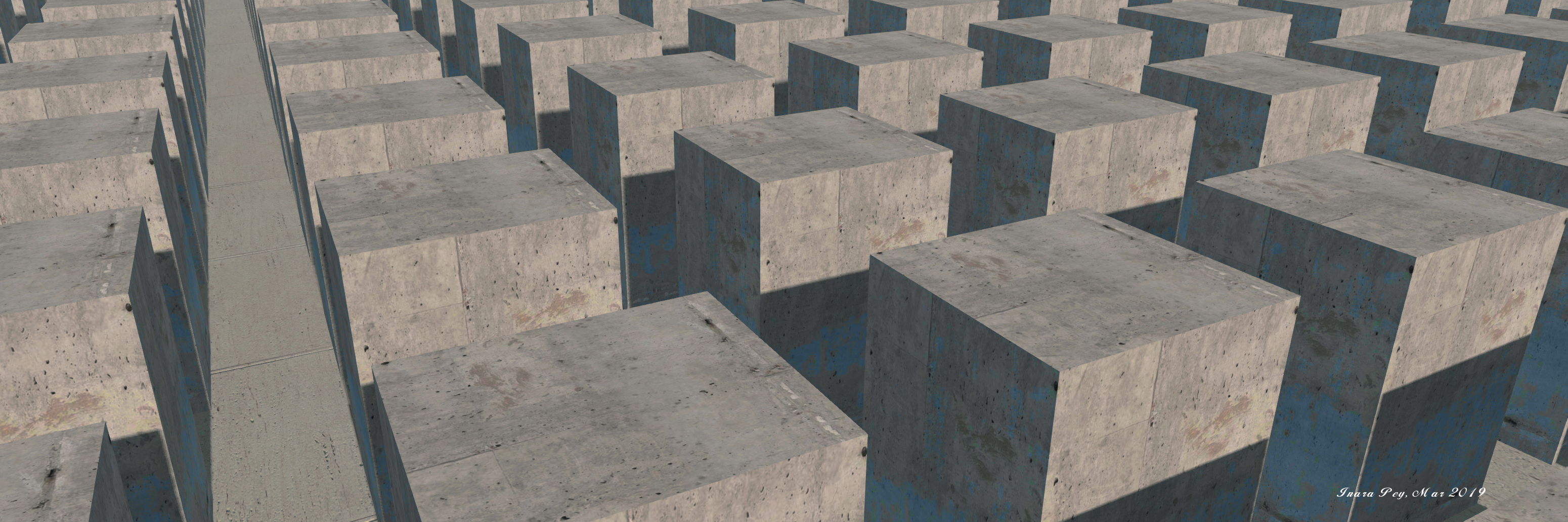
Sitting above the basalt, and split into two plateau-like areas, the rest of the region offers an intriguing mix. Directly behind the landing point, and across a road apparently emerging from a tunnel beneath the taller plateau, sits a large concrete structure, the home to a striking concrete block maze forming a large, and striking statement of modern art which in some ways reflects the columnar basalt coastline.

Grauland; Inara Pey, March 2019, on FlickrGrauland

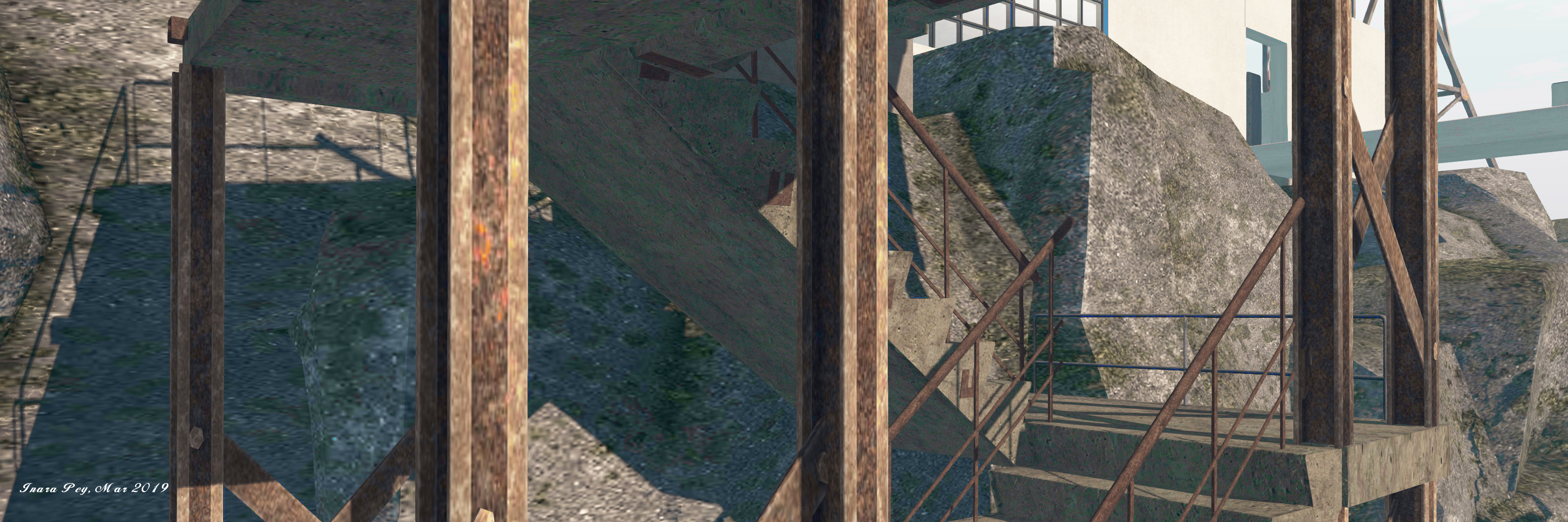
This block theme is continues on the upper plateau, reached via cement stairs built into a steel frame. These lead to a large courtyard area guarded by whitewashed walls and a large, modern hall-like building. More cement blocks sit within the courtyard, extending into a part of the building itself, which forms a gallery space.

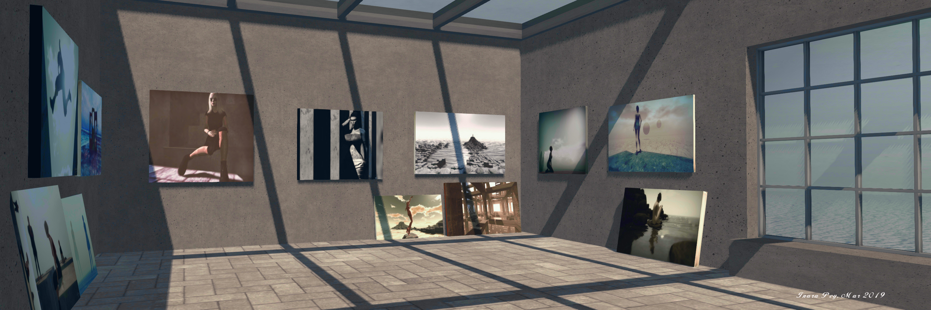
At the time of my visit, the gallery was home to a minimal exhibition of striking photographs by Jim himself. However, the gallery is designed to be more than just a home to art; along with the courtyard, it is very much a part of the artistic sweep of the region.

Grauland; Inara Pey, March 2019, on FlickrGrauland

Overlooking the courtyard is an industrial-like tower topped by a cabin. The industrial nature of the tower reflects that of the steps leading up to the courtyard, providing a further sense of continuity in the setting. Apparently open to the public, the cabin offers a bird’s-eye view out over the region.

Nor is this all. Throughout the region are marvellous art-like installations: great concrete swirls surround oak and persimmon trees, while rusting metal shapes sit on a terrace looking out to sea, the ruins of an abandon shack on the coast below them as large spheres float over the water. Elsewhere are smaller artistic elements: a caravan of turtles, a sculpture by Silas Merlin, knots of rock also forming statements of their own, doors hovering above the water… A further concrete-walled maze sits in the lee of the courtyard’s plateau, the walls again offering an industrial feel, together with an expression of graffiti.

Grauland; Inara Pey, March 2019, on FlickrGrauland – click any image for full size

Simple yet elegant, minimalist yet rich in detail. Grauland is a fascinating and very photogenic region and a place where it is easy to spend a lot longer visiting than you might think would be the case on first arriving.

SLurl Details

Spring at La Virevolte in Second Life

La Virevolte; Inara Pey, March 2019, on FlickrLa Virevolte – click any image for full size

Update: La Virevolte has closed, SLurls have therefore been removed from this article.

Iska (sablina) and ChimKama have returned La Virevolte (“the Twirl”) to the grid after the Homestead region on which it sits – Lemon Beach – spent time as Ponto Cabana (read here for more on that design), and are currently presenting it in a marvellous springtime rural design that carries hallmarks of central France in its look and feel.

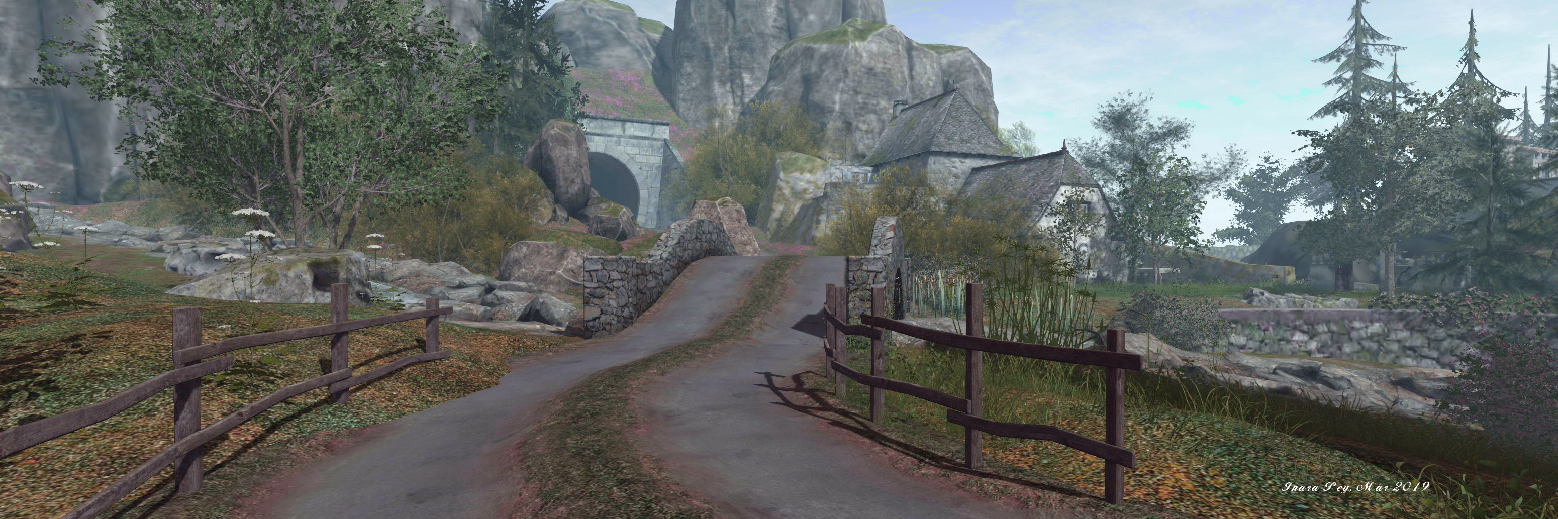
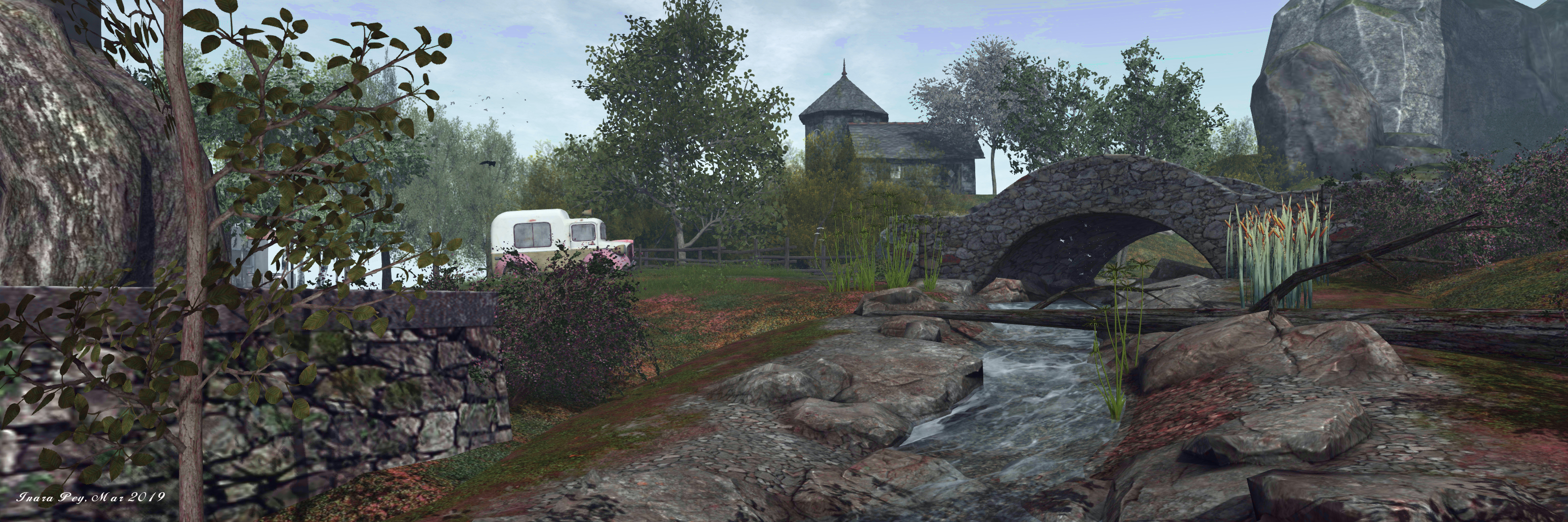
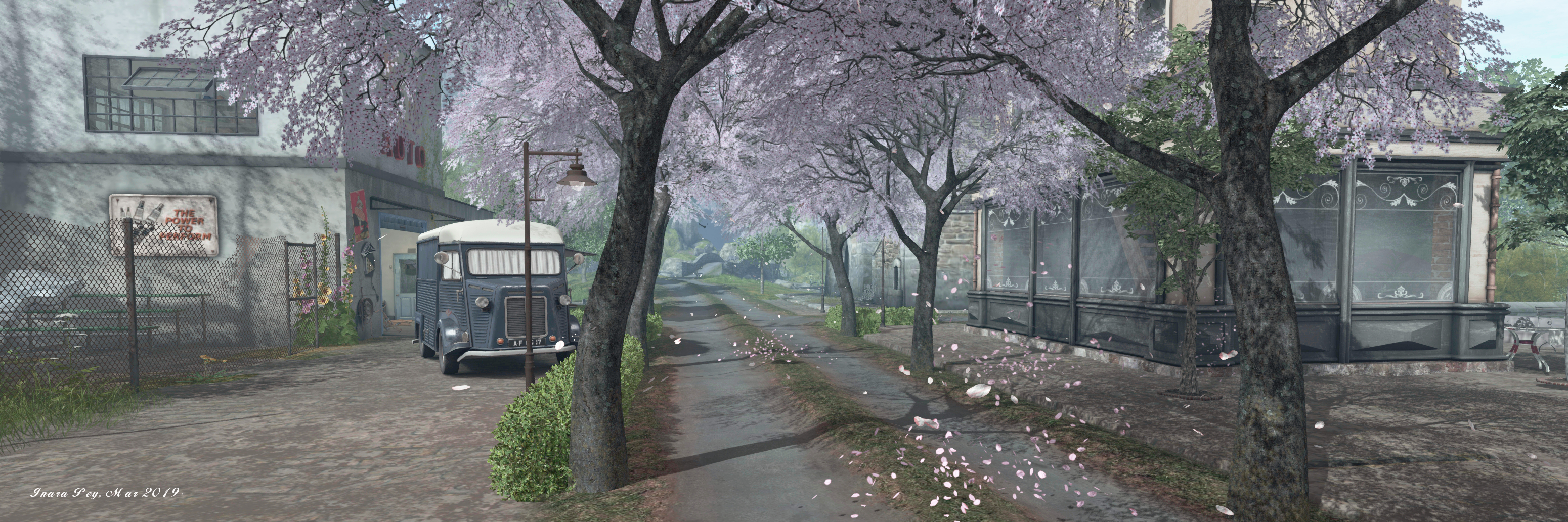
To the east of the region sits a a rugged curtain of cliffs, a stream tumbling down the slope leading away from their feet to pass under a bridge that carries a narrow road away from a tunnel that appears to cut through them. Their presence suggests this is a headland somewhere, the tunnel cutting through their walls forming a link to the land beyond, while the water flanking the three remaining sides of the setting has the feel of being a great lake, the far shores of which are obscured by haze.

La Virevolte; Inara Pey, March 2019, on FlickrLa Virevolte

Buildings lie to either side of the road as it runs down from the tunnel. Some of these – most notably the church-like stone-built gatehouse – indicating this place has been inhabited a long time. Other buildings, such as the auto shop – are of far more recent architectural design, and pointing to the longevity of occupation in this part of the land.

The road splits at the old gatehouse, one arm continuing south onto the headland’s finger, passing a small café where tables are set outside on a cobbled terrace and a Pétanque boules game overlooks the calm waters. This arm of the road ends at a small, slightly run-down farm, where dairy cows quietly graze, and which also offers a view out over the water towards the small island on which a painter’s retreat sits.

La Virevolte; Inara Pey, March 2019, on FlickrLa Virevolte

The northern arm of the road crosses the little stream at a second bridge to form a relaxed loop around grassy tiers on which sit apple trees in their springtime blossom, and which are topped by a second farmhouse. Lantern-lit paths run along and around these tiers, while the road’s passage around them is marked by stone walls and wooden fencing.

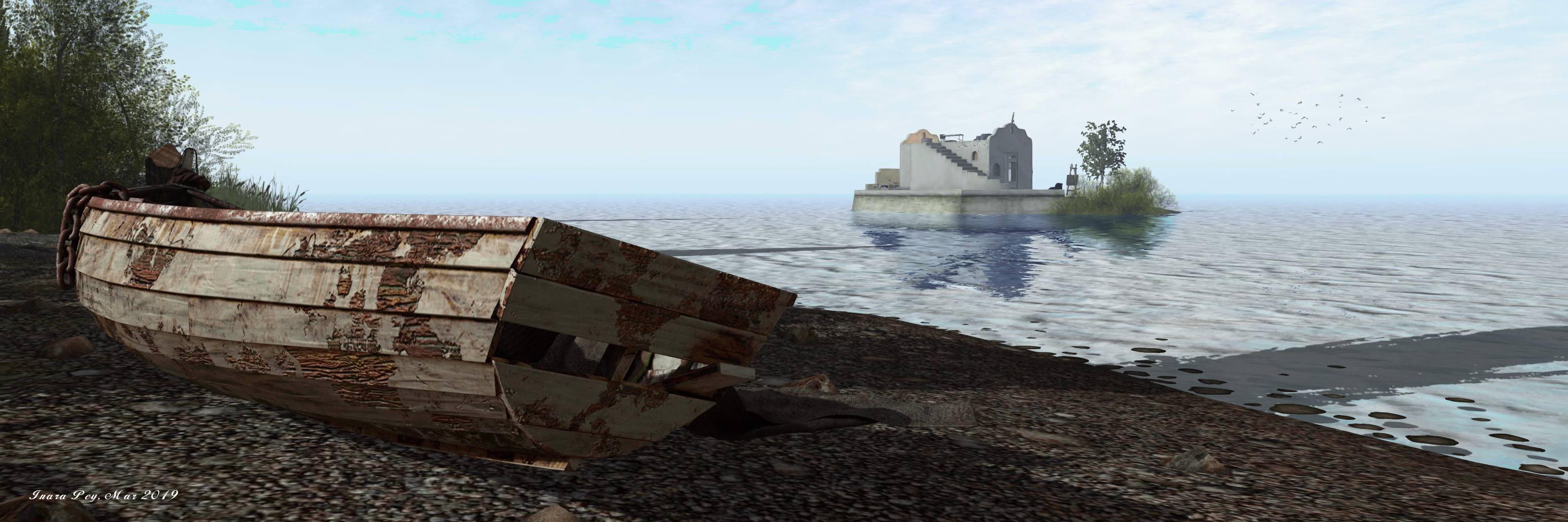
A small shingle beach sits off the south side of this road, marked by the carcass of an old rowing boat that forlornly looks towards the little painter’s island. However, there is no water crossing to the latter – which doesn’t appear to be private – is provided; flying or wading seem to be the only way to reach its adobe walls with their Spanish looks.

La Virevolte; Inara Pey, March 2019, on FlickrLa Virevolte

It offers a cosy terrace and flat roof, each with places to sit and pass the time, paintings stacked against walls, a fresh canvas occupying an easel on the roof, perhaps waiting for inspiration to strike the artist who sometimes occupies this little getaway.

Other places to sit can be found scattered throughout the region, and there is a wonderful and quite natural sense of age to this little village – and not just as a result of the presence of the more medieval buildings to be found here.  There is the tired-looking farm mentioned above and, not far from it, the yard alongside the auto repair shop, that looks for all the world like an abandoned playground.

La Virevolte; Inara Pey, March 2019, on FlickrLa Virevolte

Which should not be taken to mean this is a place of ruin or decay; far from it. The beauty and appeal of La Virevolte is clear; what there is, is a perfect balance between natural beauty of setting and landscape and the careworn feel of places perhaps past their prime; a balance that can often be witnessed when passing through any town, village or hamlet.

Finished with a gentle and natural sound scape and framed under an ideal windlight complete with birds flying and wheeling overhead, this current iteration of La Virevolte makes for an engaging, photogenic springtime visit and is not to be missed.

La Virevolte; Inara Pey, March 2019, on FlickrLa Virevolte

The stunning beauty of Ukivok in Second Life

Ukivok; Inara Pey, March 2019, on FlickrUkivok – click any image for full size

Update: in keeping with Serene and Jade’s approach to keeping their region designs open for approximately a month, Ukivok has closed, and SLurls have therefore been removed from this article, as the host region is under private holding. 

As I’ve frequently noted, Serene Footman and Jade Koltai are the creators of what are arguably the most evocative region designs made for Second Life.Each of their creations tends to last for a month, and when available, should not be missed, given they are so beautifully presented and perfectly reflect the physical world locations that form their inspiration.

Each and every design – the majority I have written about in this blog – are exquisite, but I confess there is something about their latest design – Ukivok – that is utterly breathtaking; quite the most visually impressive presentation of a rugged, isolated island, one that offers an informative look at a part of the world perhaps unknown to most.

Ukivok; Inara Pey, March 2019, on FlickrUkivok

Our new sim is a recreation of the abandoned Alaskan village of Ukivok … Once home to around 200 Iñupiat, the village is located King Island, which is situated in the Bering Sea, around 64km off the Alaskan coast and 145km from Nome.

– Serene Footman, describing Ukivok

The Iñupiat (or Inupiaq) are native Alaskan people whose traditional territory extends from Norton Sound on the Bering Sea to the Canada–United States border. Those who once lived on Ling Island called themselves Aseuluk, “people of the sea” or Ukivokmiut – a name combining the name of the village and “miut”, meaning “people” (and so might translate as “people of Ukivok”).

Ukivok; Inara Pey, March 2019, on FlickrUkivok

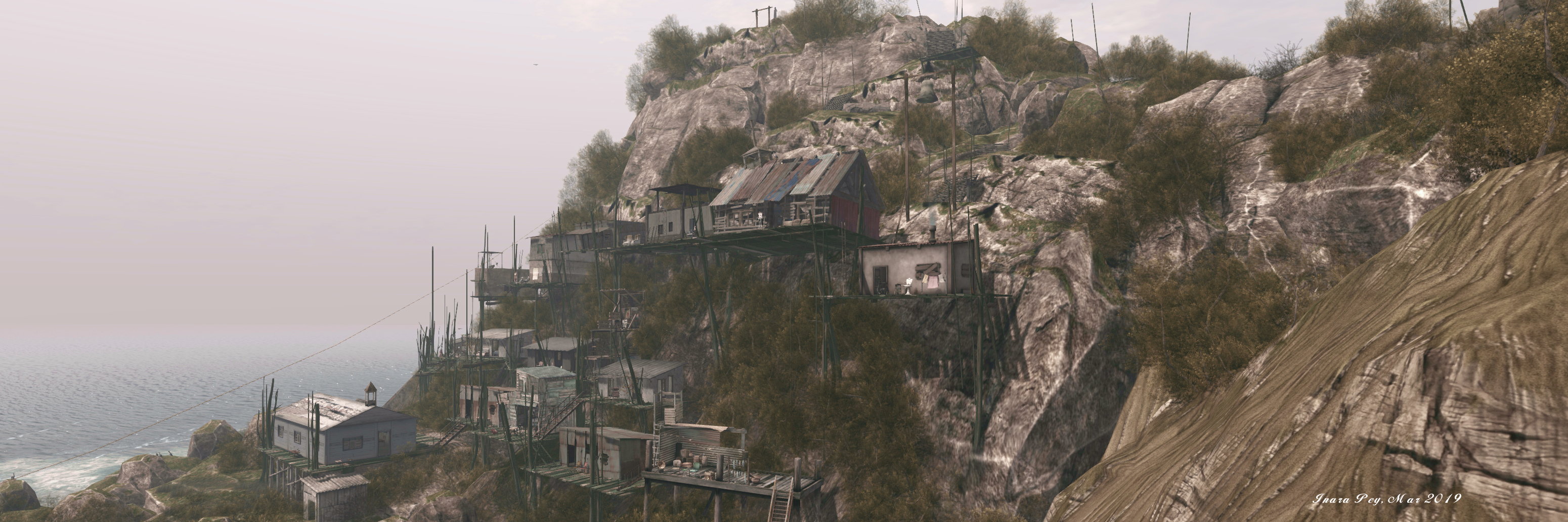
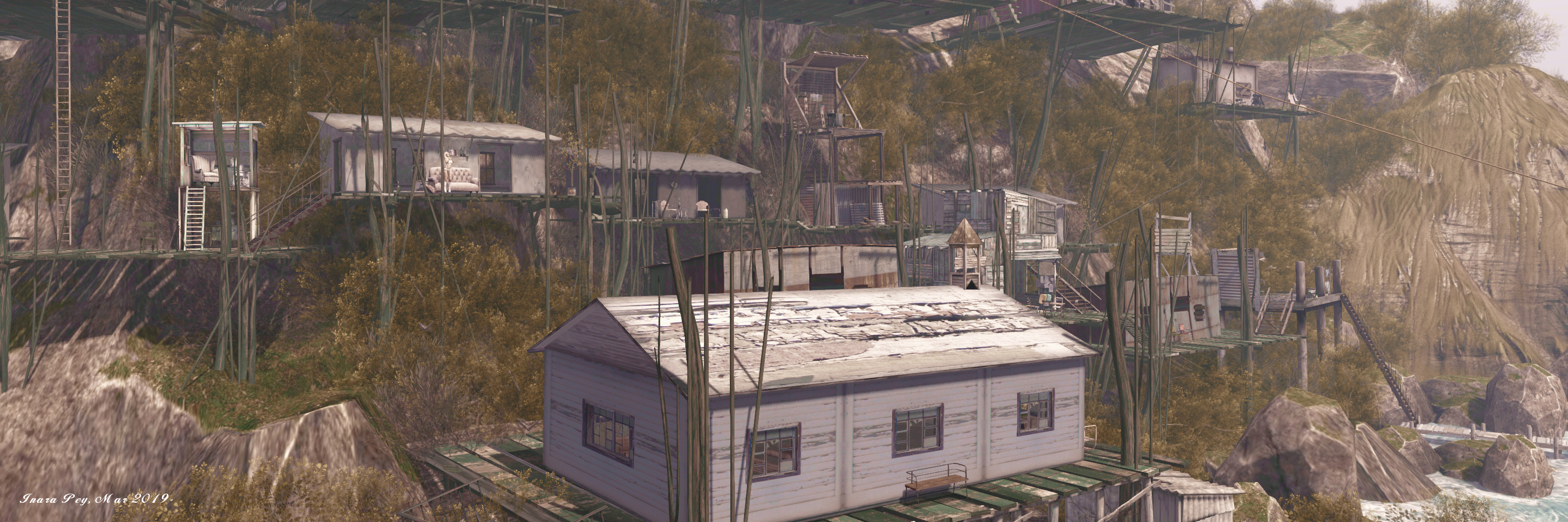
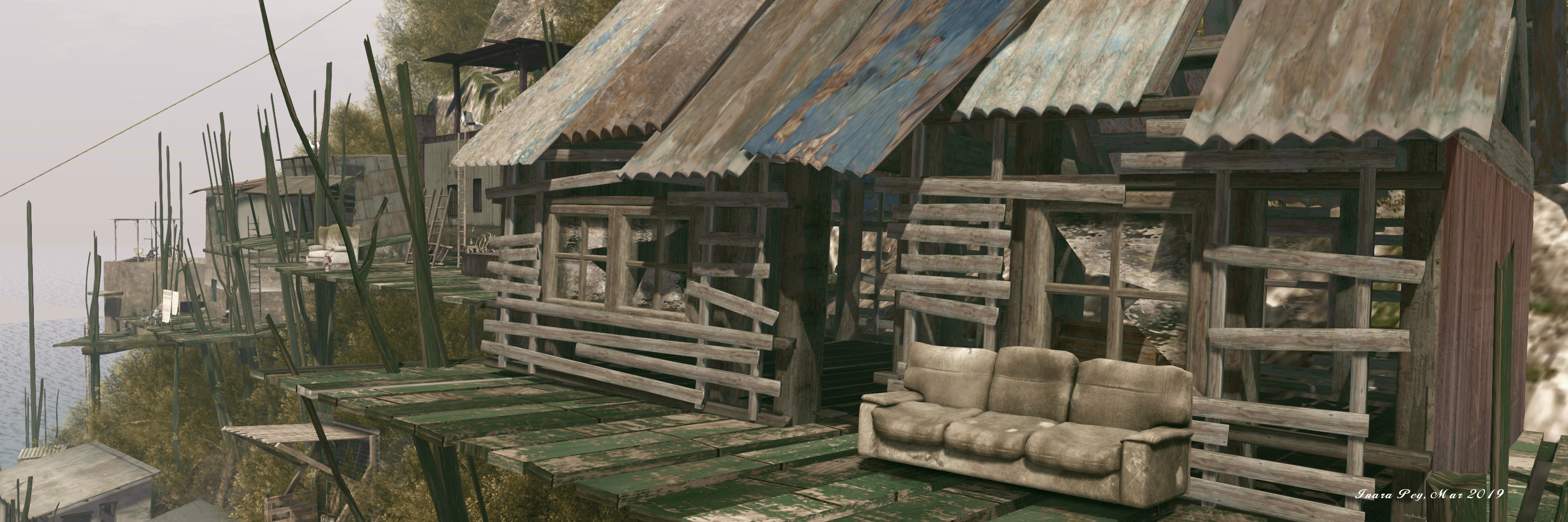
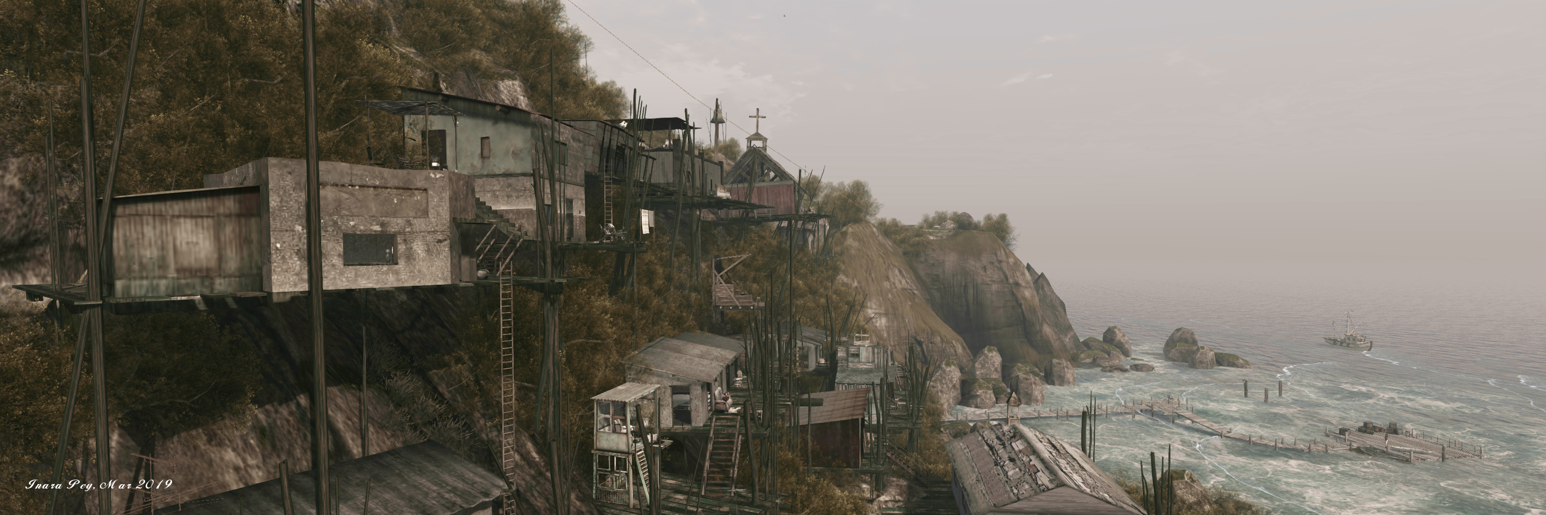
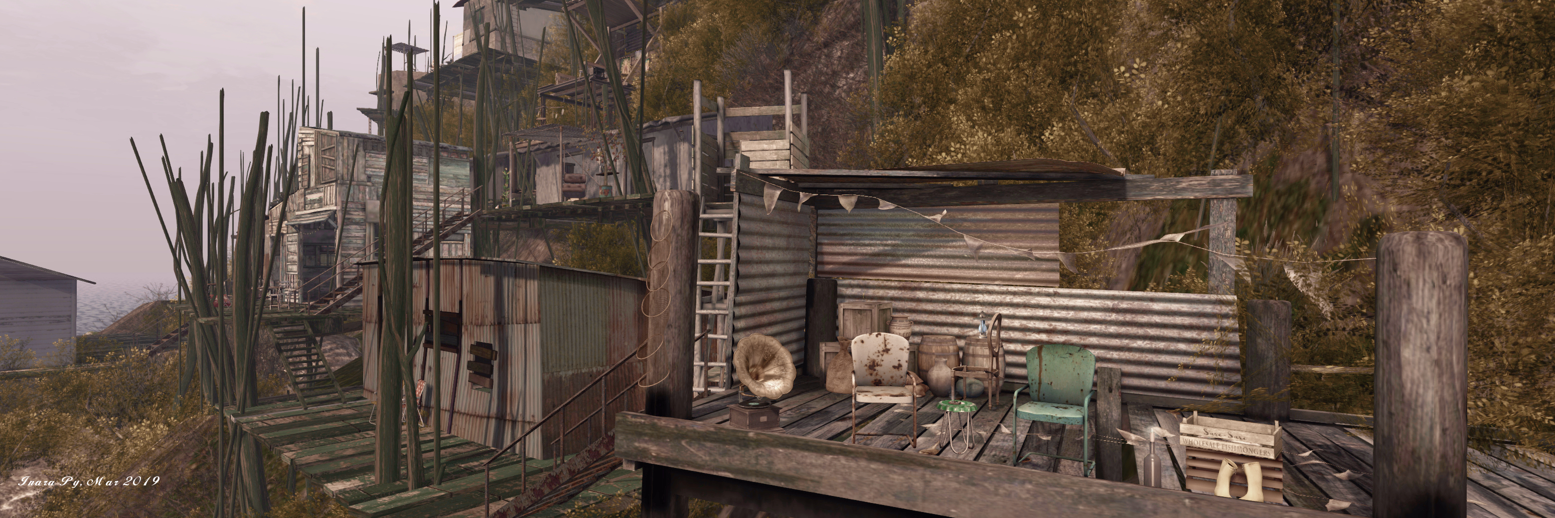
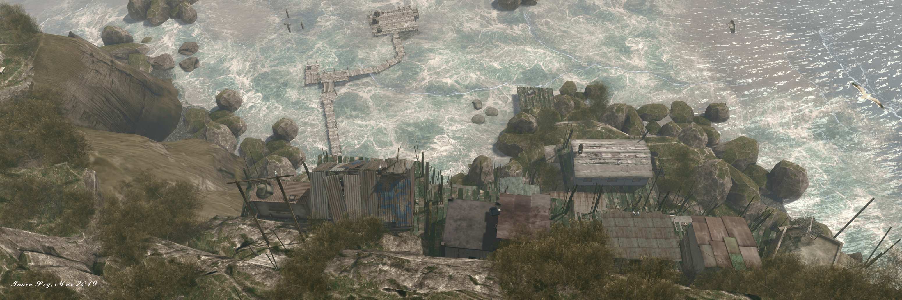
The village itself seems an impossible place; built against a rocky slope of the island’s flank as it rises at a 45-degree angle from the sea. Houses and community buildings sit upon wooden platforms, themselves standing on stilts, with the platforms rising in uneven tiers, connected by rickety looking wooden walkways and steps. Nestled between the frigid sea below and the desolate upper slopes of the island, the most recognisable building in the village is perhaps the 2-storey faded white block of the former Bureau of Indian Affairs school, the closure of which in the latter part of the 20th century marked the beginning of the end of village life on the island.

For their build, Jade and Footman could not recreate all of King Island, which is 1.6 km wide (and, as an aside, was named thus by Captain James Cook in 1778, in recognition of Lieutenant James King, a member of his crew). Instead, they have focused on the bay the village sits above, and the village itself.

Ukivok; Inara Pey, March 2019, on FlickrUkivok

And the reproduction perfectly captures the windswept, elemental look and feel of the now-deserted Ukivok perfectly, including a homage to the school mentioned above. The landing point sits off-shore platform that provides a glorious first look at the island as it rises from the waves, reaching an impressive, and entirely natural 108 metres above the surrounding sea floor.

Even without the village, the island makes for an incredible sight, and it’s clear considerable thought an effort has gone into designing and building it; if you can, make sure you cam all the way around it to fully appreciate the beauty of the design. A board walk links the landing point with the shoreline, where a steep set of steps offer the way up to the first platform – and the start of an adventure up through the village, using steps and ladders (click the latter to ascend / descend them), passing through areas that offer echoes of the lives once lived here, and opportunities to sit and appreciate the island as a whole.

Ukivok; Inara Pey, March 2019, on FlickrUkivok

The Ukivokmiut were subsistence hunters and whalers who had lived on King Island for centuries. Their activities on and around the island included hunting for seals and walruses, crab fishing, and gathering bird eggs and other foods.

– Serene Footman, drawing on notes about the Aseuluk of King Island

Above the upper levels of the village are more steps, linking shelves of rock one to the next. Some of these steps might be easy to find, others hidden by the scrub hedges that cling to cliff and slope. Follow one group, and you may find your way to the north-eastern headland, which again offers a stunning view back across the rest of the island to the village. This route will also take you past an homage to an entirely natural tor of rocks that crown the physical world King Island.

Ukivok; Inara Pey, March 2019, on FlickrUkivok

The crown of this Jade and Serene’s version is a little different, and lies to the south-east. It is marked by a single statue looking down over the village, and the view gives a further understanding of Ukivok’s seemingly precarious position on the island. Close to the statue is a zip line which descends steeply (and quite rapidly) down to an outcrop of rock and shingle close to the landing point. Should you take the ride, you’ll have to fly back to the landing point or to the island; or you can rest a while on the chairs set out on the rock.

Set under an ideal windlight, surrounded by ocean foam and perfectly placed submerged terrain that is naturally suggestive of rocky shallows close to the island, Ukivok is completed by another superb sound scape. And once having seen it, I think you might find it hard to deny it is one of the natural wonders of Second Life – so many sure you visit it while it is here.

Ukivok; Inara Pey, March 2019, on FlickrUkivok

Gaining a little A L T I T U D E in Second Life

A L T I T U D E; Inara Pey, March 2019, on FlickrA L T I T U D E – click any image for full size

I jumped over to have a look at A L T I T U D E after catching it in Maddy Gynoid’s Echt Vituell. Sitting on and over a Homestead region, it is one of the most unusual and imaginative settings I’ve seen in Second Life for a while.

Designed by Dan the Hammie (DannChris), A L T I T U D E presents a place to “hang out, play and listen to indie music, alternative music, live performances and voice events.”

A L T I T U D E; Inara Pey, March 2019, on FlickrA L T I T U D E

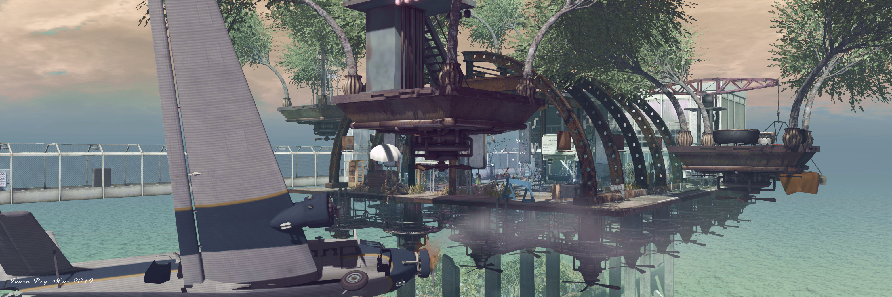
The music venue sits up in the air, “an abandoned hangar on a forgotten island”, held aloft by a combination of cement pillars rising some 60 metres above the water / ground by a mass of propeller engines slung beneath the baseplate on which it sits. Several more platforms float in the sky around it, some offering places to sit, others more functional in nature.

The hanger itself is little more than a rusting metal framework curving over the venue and facing a building that might, at one time, have been a small airport terminal or similar. Despite its industrial appearance, however, the club has a friendly, almost cosy look and feel to it. Events are regularly staged as per the schedule board over one of the stages.

A L T I T U D E; Inara Pey, March 2019, on FlickrA L T I T U D E

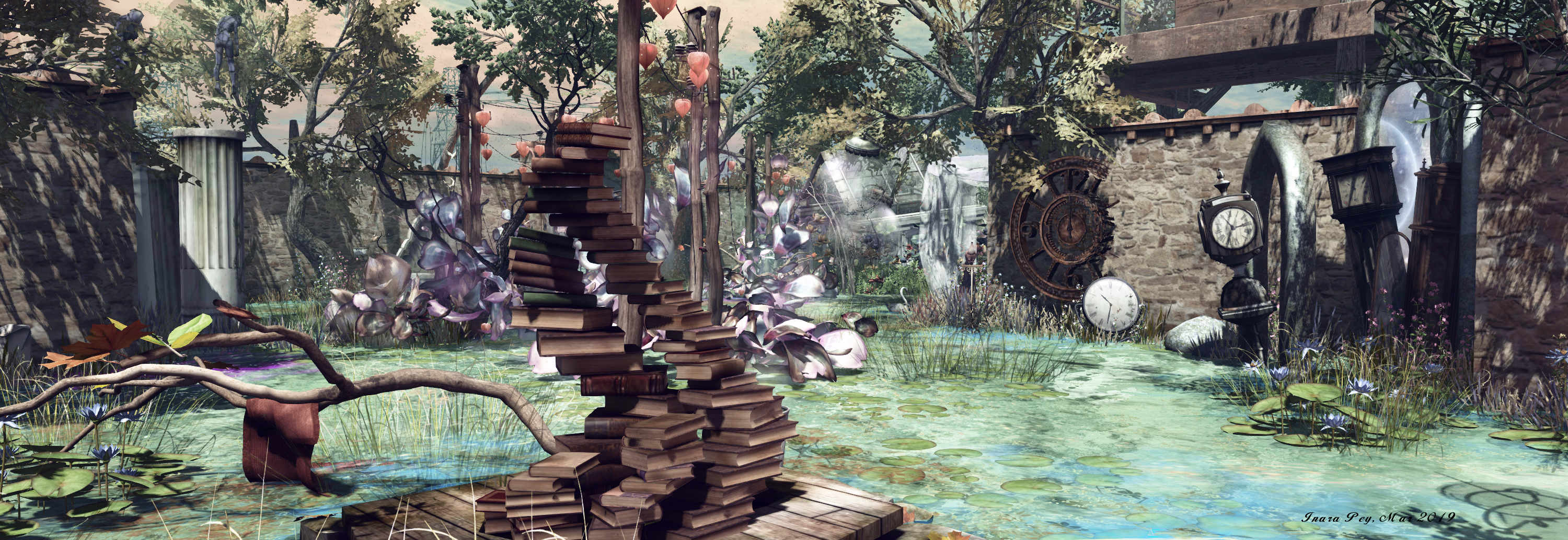
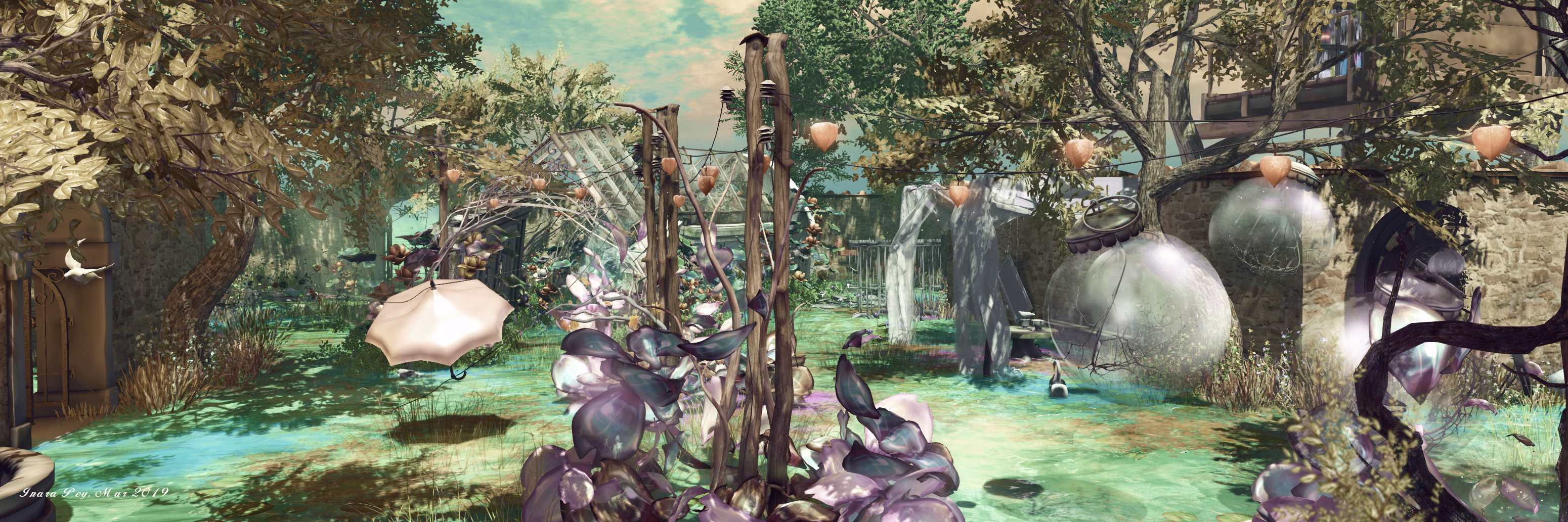
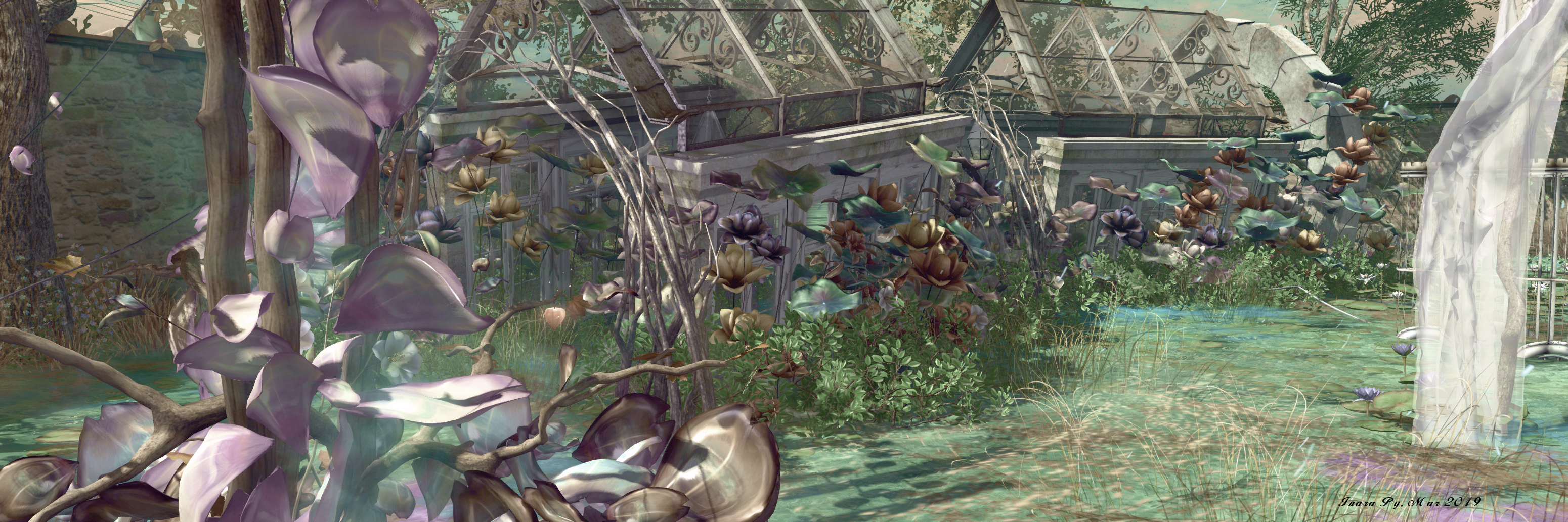
Down below, apparently floating on the water, is a stunning garden spot sitting behind tall stone walls with a decidedly Tuscan look and feel; a reminder of Dann’s previous builds of Natural Falls (see Navigating Natural Falls in Second Life).

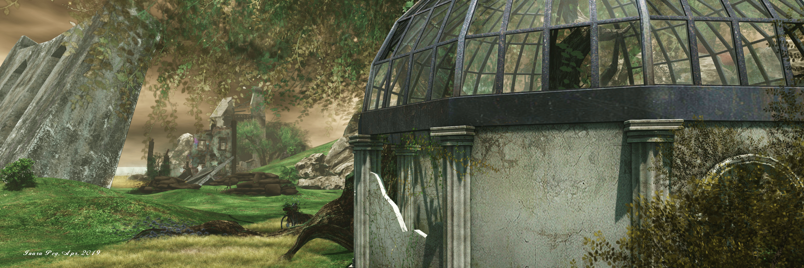
Watched over by leaf-laden trees, this is home to the most exotic of plants, a place where Nature’s chaos prevails in the most marvellous of ways, be it with the free form of plant growth, the broken, lopsided train of a of greenhouse, the slightly tumbledown suggestion of age and ruin, the delightful corner snug, or the myriad other attractions to be found here.

A L T I T U D E; Inara Pey, March 2019, on FlickrA L T I T U D E

Such is the detail and design in the garden, it is easy to lose track of time camming around its enclosed space, seeking out all the little details, while several places to sit and relax offer further enticements to stay and enjoy the setting and watch the butterflies. Art is also to be found here, courtesy of Chirzaka Vlodovic and Mistero Hifeng, while opportunities for photography abound.

With great electrical pylons take a perpendicular march across the water in relation to the high music venue and the long gantry-like walkway that sits besides it, the entire regions sits beneath a forever twilight sky that frames both club and garden perfectly.

A L T I T U D E; Inara Pey, March 2019, on FlickrA L T I T U D E

A sign close to the gantry landing point warns visitors that they are about to enter someone else’s dream. Given the overall design and layout of A L T I T U D E, it is a dream worth taking the time to visit and share in; beautifully conceived and presented.

A L T I T U D E; Inara Pey, March 2019, on FlickrA L T I T U D E

SLurl Details