Cooper Creek Wilderness, July 2019 – click and image for full size
In passing suggestions for regions to visit, Miro Collas recently reminded me that it has been almost four years to the day since I last wrote about Cooper Creek Wilderness and the public regions of Sailor’s Cove Rain Forest (see A walk in the wilderness in Second Life). We’ve been back numerous times, both by boat and by air, and have noted various changes to the regions – notably the rise of Mount Cooper, the massive mountain that dominates the southern end of the estate, which I’ve yet to write about. So Miro’s reminder served as a reason for us to hop back for a visit that could include Mount Cooper and give a reason for me to write an updated post.
Now, to be clear, there are a lot of places to explore within the Rain Forest, and they can be reached via direct teleport or by flying / boating. For this article, and to match the flavour of my original piece, I’m setting out a possible tour using the latter – aircraft and boat -, but SLurls are also provided for those preferring the more direct means of travel.
 Cooper Creek Wilderness – Frasier Island Airstrip, July 2019
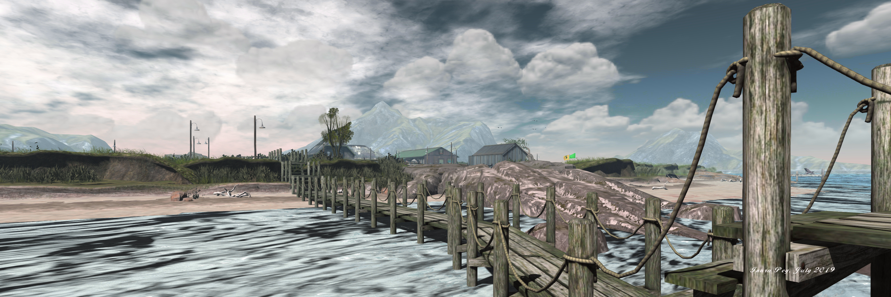
For those flying in, the Rain Forest Airfield (formerly the Sailors Cove South (SCS) airfield) is the initial destination to head for. In 2015, this was a fairly small affair, with the runway running east-west. It’s since been expanded, with a north-south runway (although approach and take-off should be from / to the north, given the bulk of Mount Cooper looming so close. With revised helipads, a seaplane ramp and a fair amount of parking, the new airstrip offers more space – but is still only suitable for light aircraft.
From here, explorers can switch to kayak – there is a rezzer to the east of the airfield, just beyond the Get The Freight Out terminal. The rezzer pier sits close to a channel that cuts northwards through Frasier Island and Cerrado to Cooper Creek Wilderness, or offers a route south to Mount Cooper (which, if you prefer, can also be reached by ferry).
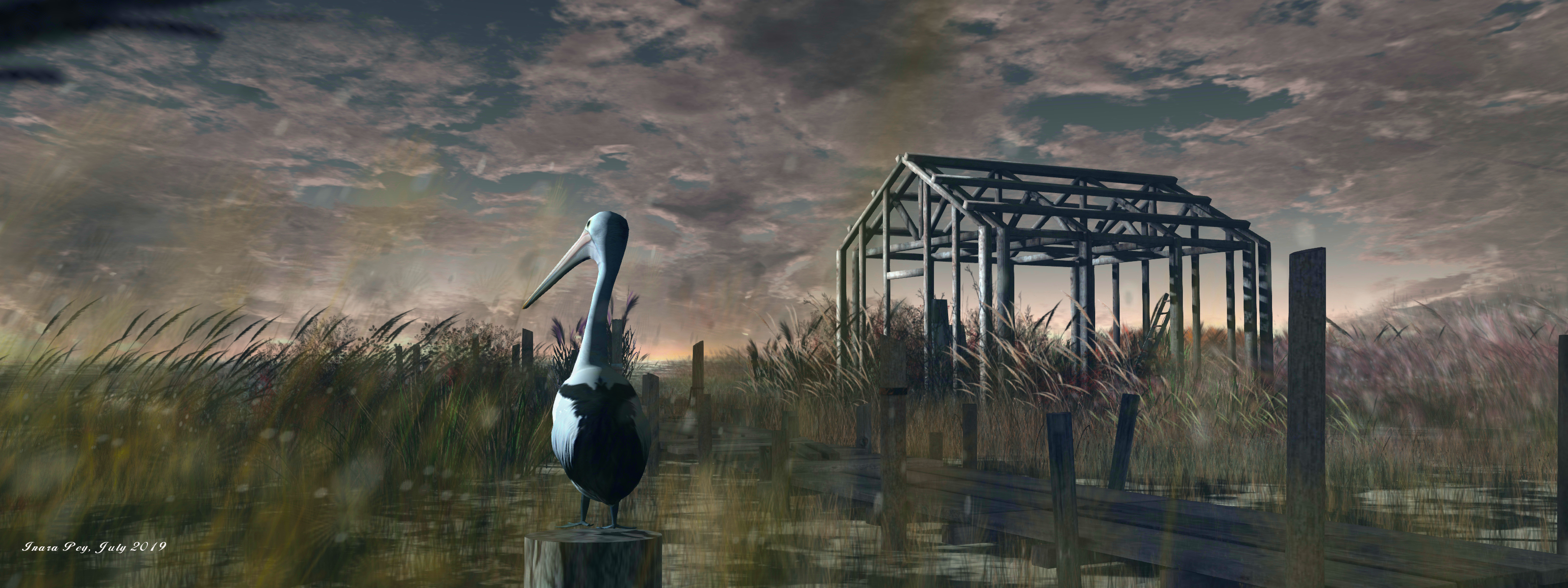
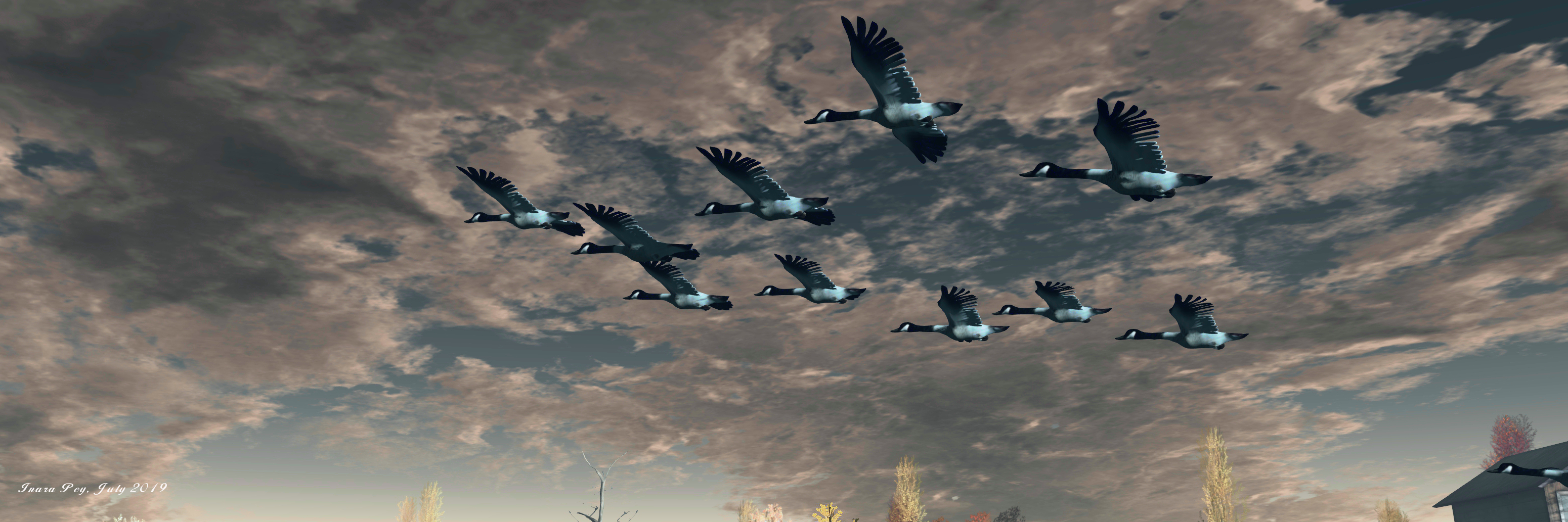
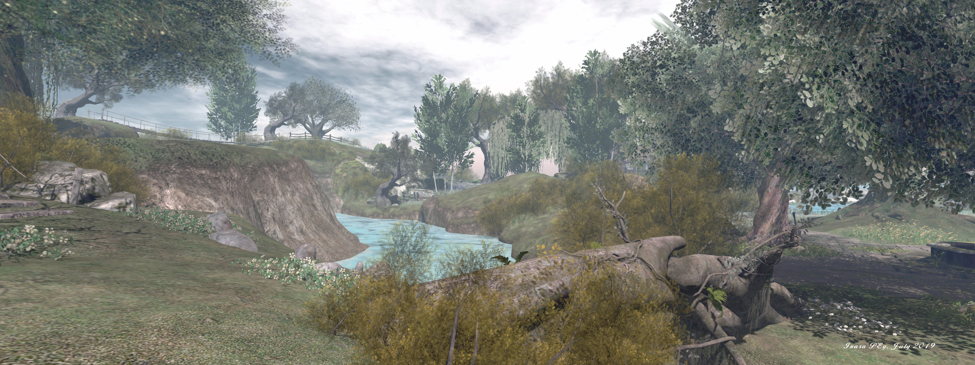
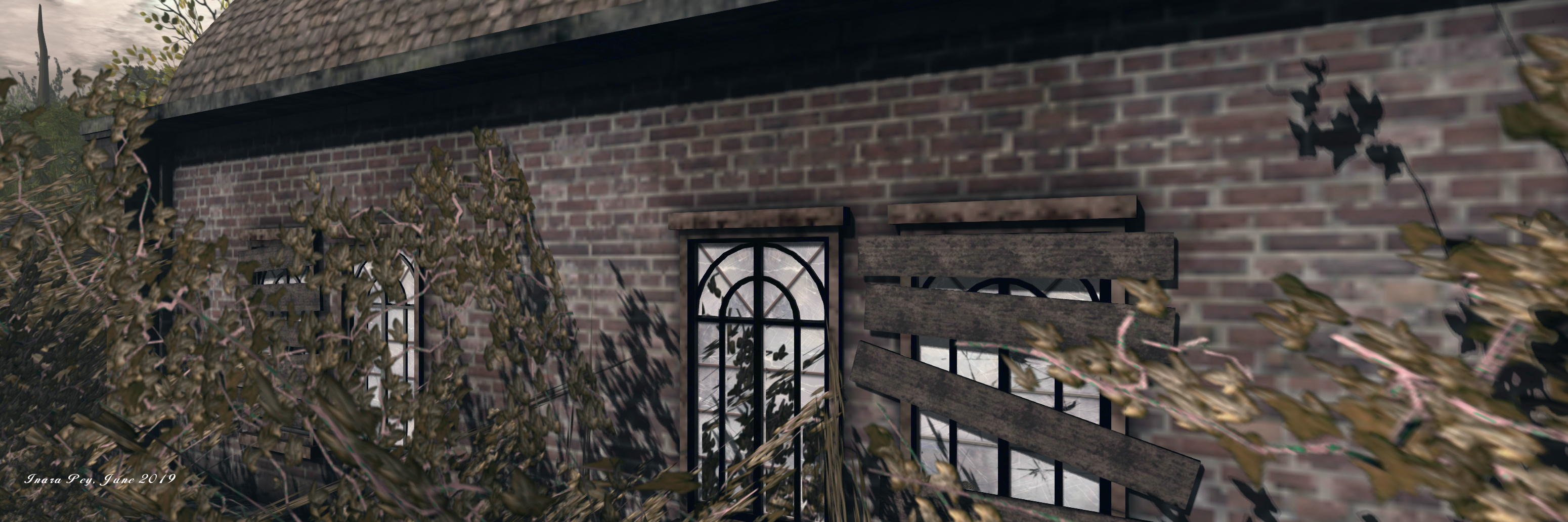
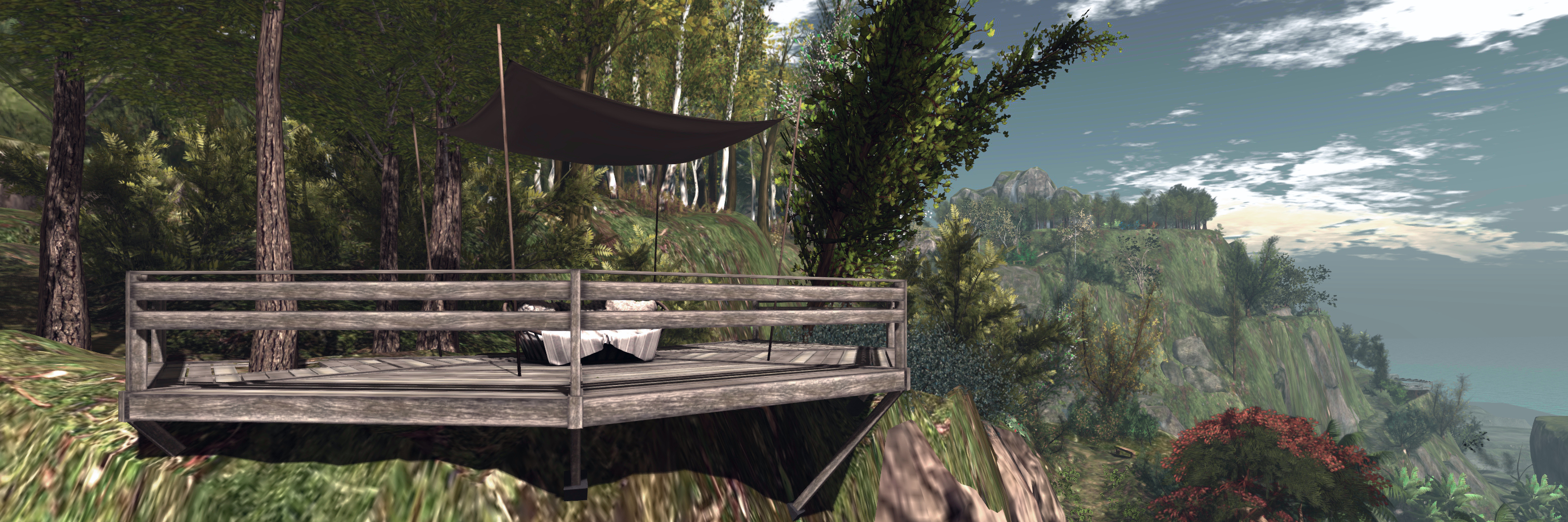
 Cooper Creek Wilderness, July 2019
Should you head north along the water channel, keep in mind that both Frasier Island and Cerrado have private residences on the west banks of the main north-south channel cutting through them. There is also a large private residence on the north side of Cerrado as well, sitting just across the water from the Fishers Island Yacht Club, which is open to the public.
As well as being navigable via kayak, both Cerrado and Cooper Creek Wilderness each have a series of raised board walks and winding wooden paths running through the trees, over the water and climbing up the higher reaches of land. These offer plenty of opportunities for exploration on foot (there are other numerous kayak rezzing points, should you wish to resume your explorations on the water).
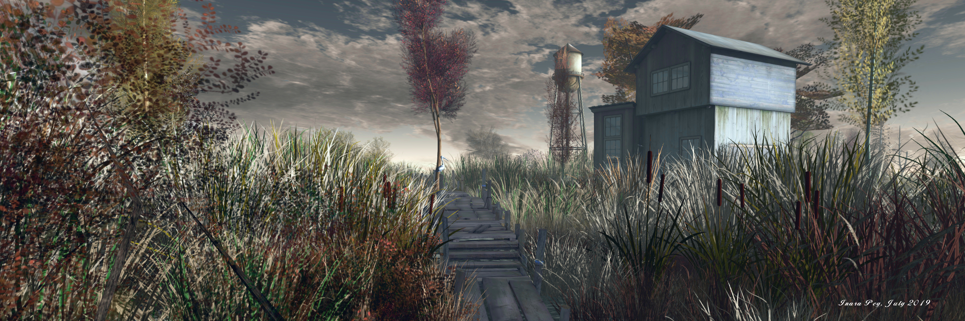
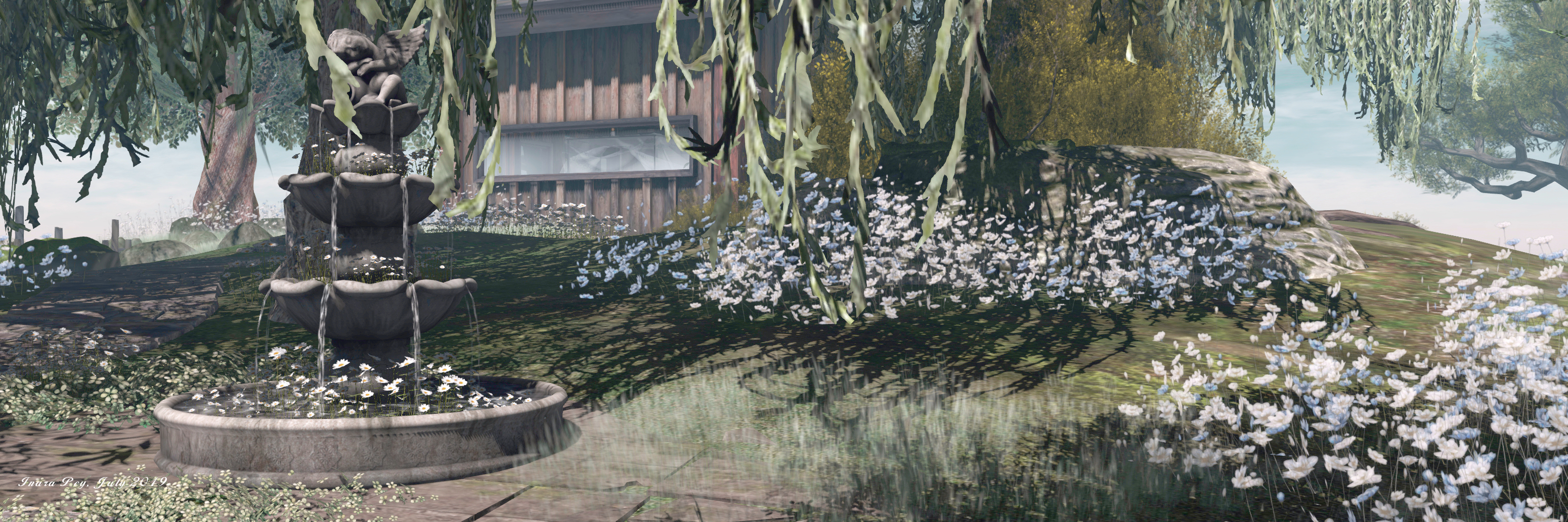
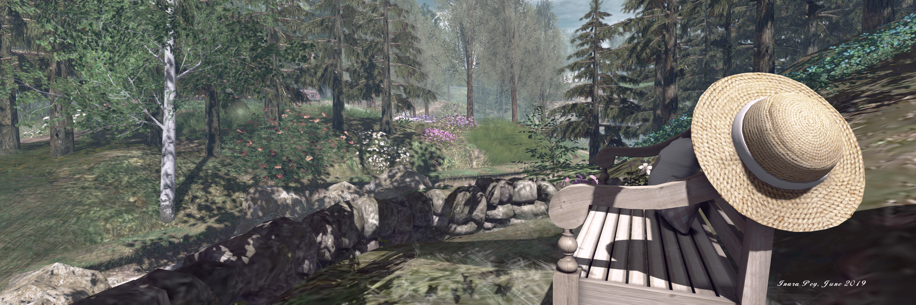
 Cooper Creek Wilderness -The Alchemis, July 2019
There are numerous places to be found whilst exploring the walks and waters of the rain forest – from the obvious places such as the Yacht Club (another kayak rezzing point sitting just across the east side channel), or The Alchemis coffee bar or the Butterfly House, and so on. The best place to find out more about the sights is from the sign at the Cooper Creek Wilderness landing point. When touched, this will offer you a note card detailing many of the attractions, all the way down to Mount Cooper.
If you do head south to Mount Cooper, I recommend avoiding the marina-style mooring sitting on the far side of the channel from Frasier Island, and instead turn south-east to make for the smaller pier sitting by a sandy shelf on the far side of the great gorge cut into the side of Mount Cooper. From here, you can follow the trails up the side of the mountain on foot or via horseback (terrain allowing, if you are using a rezzed horse – wearable horses are fair better, if you have one) and enjoy the open air.
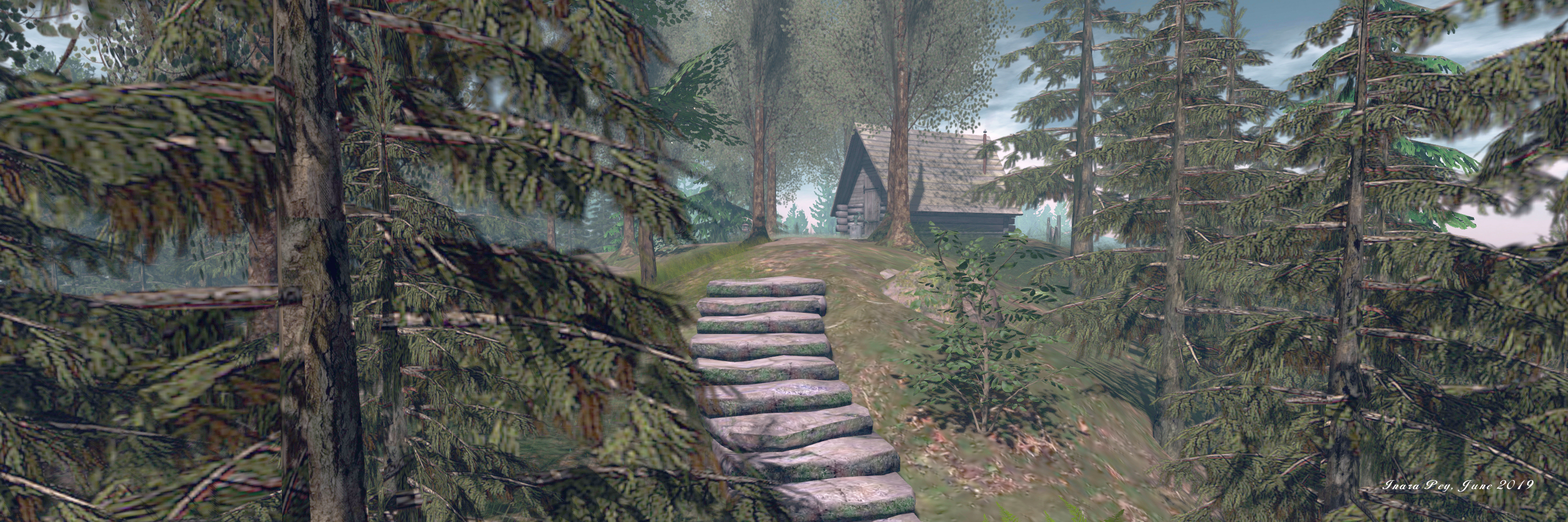
 Cooper Creek Wilderness – Mount Cooper, July 2019
A point to note with Mount Cooper – as with other parts of the rain forest regions as noted above – is that as well as being a public park, it is also home to a number of private residences – the first of which can be encountered when following the trail up from the horse rezzer. So while exploring, do keep people’s privacy in mind.
The paths up the mountain are a mix of grassy trail, rock-based path or stony trail (the latter of which can cause rezzed horses some problems). The also offer multiple routes of exploration, so I strongly recommend you give Mount Cooper plenty of time for a visit, as there is far more to see than may at first appear to be the case.
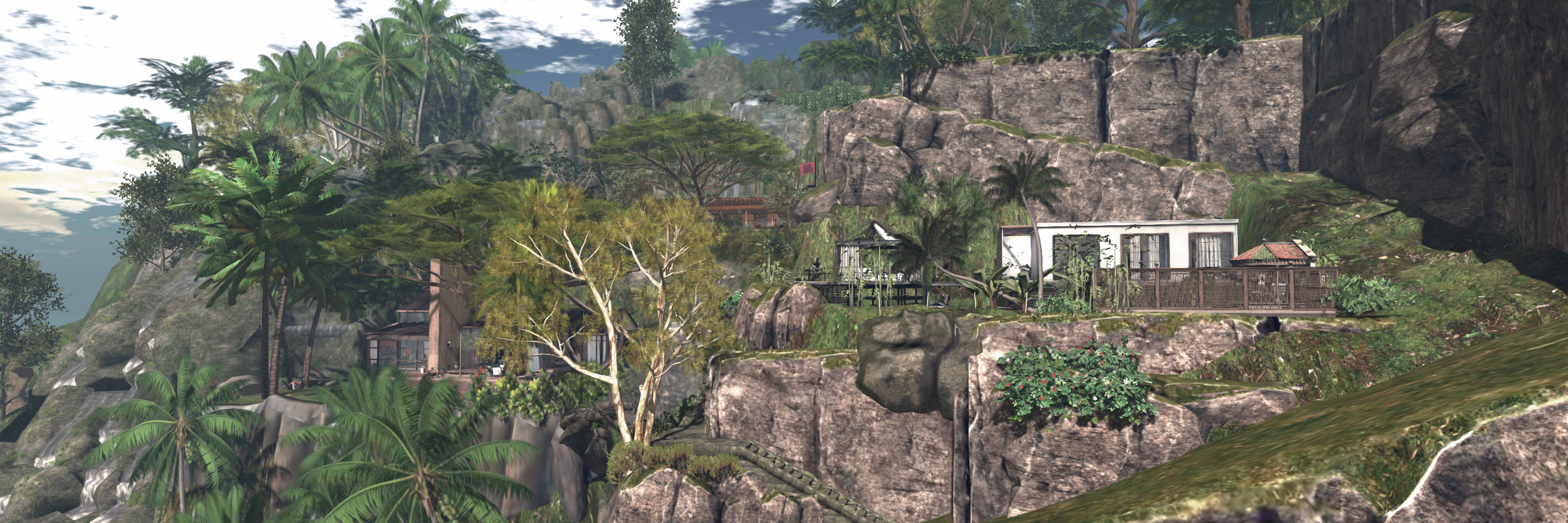
 Cooper Creek Wilderness – Mount Cooper, July 2019
In particular, keep an eye out for the numerous entrances to the network of tunnels and caverns running through the heart of the mountain. These offer surprises of their own, including the opportunity to take a wet bungee jump (which can also be reached via a rocky path up from the marina). And when you’ve done with that, a swim through the underwater tunnel might reveal more.
All of the above really just scratches the surface of the Cooper Creek Wilderness and Mount Cooper. As destinations, both deserve a decent amount of time to explore – possibly over more than one visit. Both present their own points of interest, with zip line rides, walks, places to sit, and so on, and each obviously offers its own opportunities for photography.
 Cooper Creek Wilderness – Mount Cooper, July 2019
SLurl Details
- Rain Forest Airfield (Frasier Island, rated Moderate) – light aircraft only
- Airfield kayak pier (Frasier Island, rated Moderate)
- Cooper Creek Wilderness (rated Moderate)
- Mount Cooper, north pier (Mount Cooper, rated Moderate)