Visiting Nowhere in Second Life

Nusquam; Inara Pey, March 2016, on Flickr Nusquam – click any image for full size

Nusquam (latin: “nowhere”) is an atmospheric homestead region designed by Randi Lenroy, and which is currently featured in the Destination Guide Highlights for the week ending March 18th, 2016.

The name for the region becomes evident on arrival: the setting echoes the looks and feel of so many remote coastal regions to be found around the world – Canada, America, Europe, Australia, South America, New Zealand, it could well be anywhere. And so, because of all these echoes, it is in fact, nowhere other than where our imaginations decide to set it as we wander its rugged and open spaces.

Nusquam; Inara Pey, March 2016, on Flickr Nusquam

The Landing point is located in the north-easy corner of the region, within a barn spanning an old railway line. The tracks run from north-west to south-west, running along the eastern seaboard before rising to run back westwards along the south side of the region,  coming to an abrupt end at the ruins of a trestle bridge. This in turn suggests that the region was once connected to somewhere, further inviting our imaginations to extend or create a setting for the region.

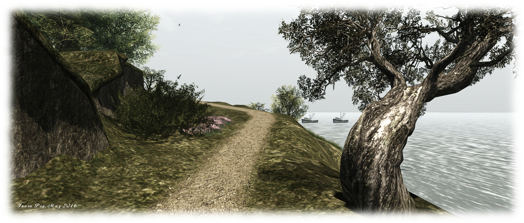
Within the arms of this sweeping, undulating track – which frankly, has seen better days and was doubtless abandoned following the loss of the bridge to Wherever, is open farmland. This is neatly dissected into two fields by a dirt track pointing the way to an old workshop and barn, complete with a makeshift pier, the possible home for two fishing boats lying offshore.

Nusquam; Inara Pey, March 2016, on Flickr Nusquam

A lighthouse sits atop the highest point on the land, occupying a rocky shoulder in the south-east of the island. The spur of the railway line sweeps by outside, just the other side of a cement wall, to continue out along a  finger of rock, open sea on one side, narrow watery channel on the other, on its way to the bridge to (or is that from?) nowhere.

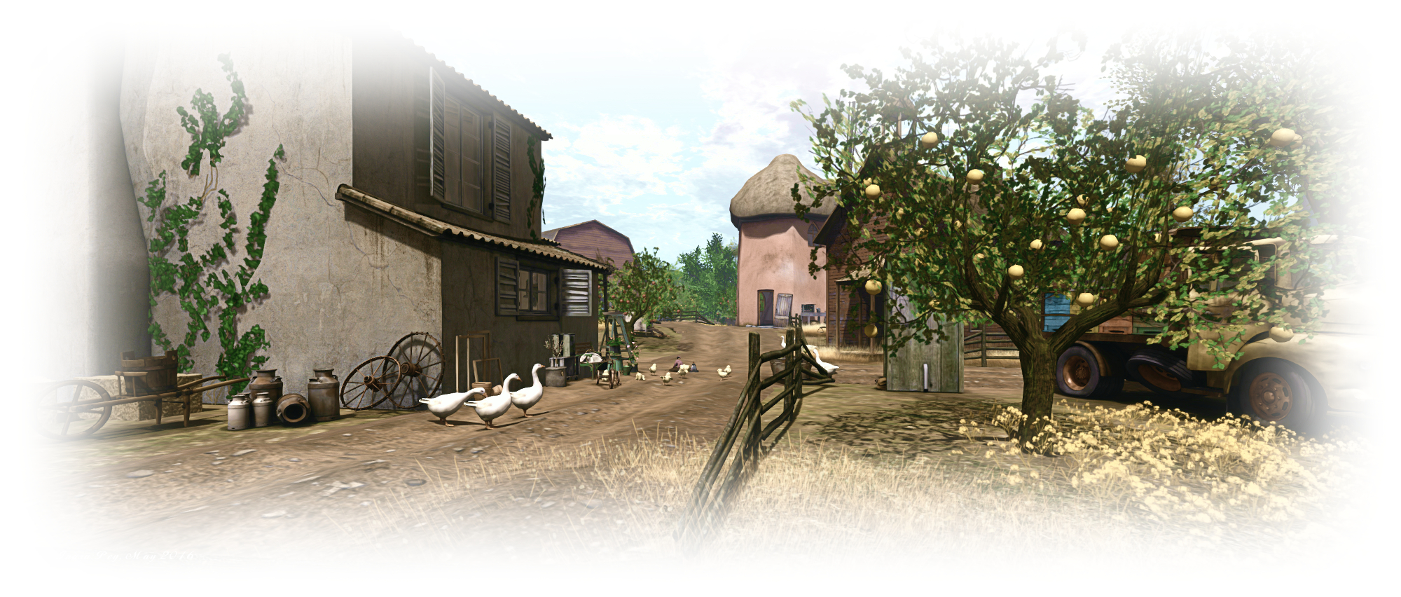
The lighthouse, barn and workshop are the only structures on the land, although it is clear this is still a place of work: hay bales are neatly rolled, a tractor has been working in one of the fields, whilst someone has been using another in an attempt to shift a fallen tree. Whether the latter came down by accident or design is hard to tell, but the way the telegraph poles are angled as they run beside the old train line suggests this place can suffer from high winds at times, so perhaps age and the weather took its toll on the tree.

Nusquam; Inara Pey, March 2016, on Flickr Nusquam

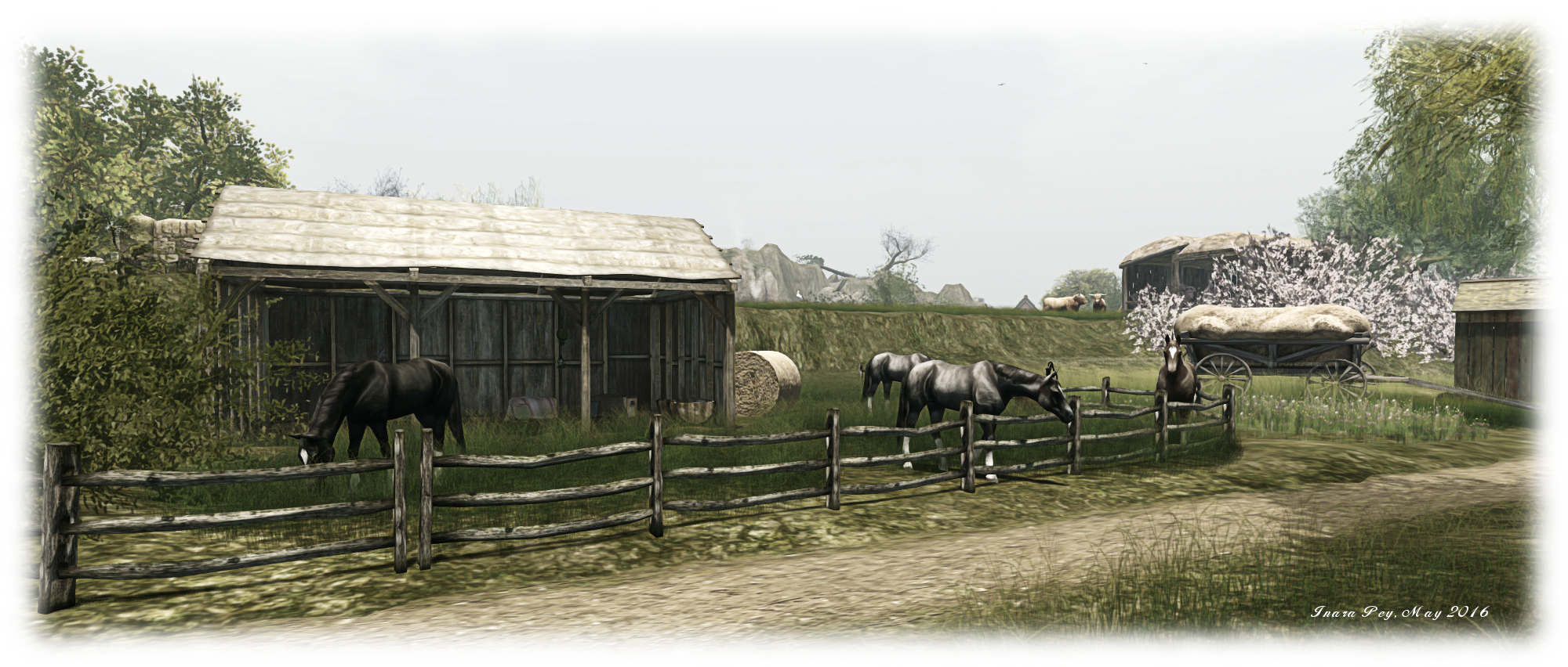
Horses roam one of the fields, their sleek coats suggesting they are well cared-for, adding a further sign of long-term habitation here, and giving the visitor more hints by which they can weave a tale of their own about the place. East of the railway tracks, the unsurfaced road continues, passing a small parking lot bearing a sign promising fried chicken and gasoline further inland.

An overgrown board walk winds its way from this to barn landing point, while the road quietly dips under the lapping waves on the east side of the island, again suggesting this is a place that was one somewhere – or at least linked to somewhere. now a young apple tree rises slowly from what’s left of the track, a silent sentinel warning the onward progress is perhaps not advisable.

Nusquam; Inara Pey, March 2016, on Flickr Nusquam

With it’s rugged, looks and open spaces, complemented by a subtle sound scape which is more noticeable along the coastline than further inland,  and presided over by a dusky windlight which plays beautifully with lighting as you cam around, Nusquam presents the perfect  destination for whenever you feel like you’d like to go Nowhere.

SLurl Details

Follow your Bliss in Second Life

Follow Your Bliss; Inara Pey, March 2016, on Flickr Follow Your Bliss – click any image for full size

For those seeking a little escape from the rush of life and a chance to recall memories of summer holidays long ago, a visit to Follow Your Bliss might be just the ticket. This homestead region is the vision of Elizabeth (ElizabethNantes) with assistance from Omkara (kazu Koray), and it is an absolute delight to visit, explore and photograph.

Resembling an archipelago, the region offers a chain islands surrounding a shallow, sandy-bottomed bay. Of varying sizes, the islands are protected on their northern flank by a natural rocky breakwater against which waves crash, the remaining compass points offering relatively unobstructed access to the sea.

Follow Your Bliss; Inara Pey, March 2016, on Flickr Follow Your Bliss

Directly behind the breakwater, and curving gently around the north and east sides of the region, is a chain of mostly low-lying islands linked one to another by a series of bridges. These present a sunny walk through knee-high grass, over warm beaches and across the bridges to reach either a final low-lying sand bar, or in an eastwards turn and across the sturdiest of the bridges, access to the largest and tallest of the islands.

Each of the islands offers something of its own to occupy visitors: places to cuddle, places to sit and while away the time watching the tide or in conversation, swings on which to have a little fun, shady sports and shacks and cabins in which to escape the light of the sun. Two of the latter sit upon the largest of the islands, a twisting climb of stone steps linking them. One is a two-storey cement structure at the foot of the island’s main hill, the other a wood framed atelier perched on the top of the hill, with commanding views all around.

Follow Your Bliss; Inara Pey, March 2016, on Flickr Follow Your Bliss

The atelier in particular attracted me, not only because it is a design I like, but also because of the beautiful map of Sir Lanka (then Ceylon), dating from the 1690s and the period of the Dutch Governorate. With north to the left and east at the top, the map makes for an interesting view of the island, the names the Dutch offered for places I’ve been fortunate enough to visits as exotic as their Sinhalese equivalents: Anurodgburro (Anuradhapura). Trinkinmaly (Trincomalee), Battacilow (Batticaloa), and so on.

In order to reach the remaining islands in the group, visitors have a choice: swim, take one of the rezzable paddle boats available from the dock near the landing point, or join the local group and avail themselves of one of the group motorboats. Flying is also an option – but to do so isn’t really in keeping with the spirit of exploration.

Follow Your Bliss; Inara Pey, March 2016, on Flickr Follow Your Bliss

These islands, to the west of the region, between them offer more places to relax, including a charming little café and a touch of the oriental. In all, Follow Your bliss is aptly named; exploring the islands, it is easy, even natural, to leave worries and cares behind and simply enjoy the carefree bliss offered by the region, and all under an almost tropical sky.

SLurl Details


Enjoying spring at The Trace in Second Life

The Trace; Inara Pey, March 2016, on Flickr The Trace – click any image for full size

Kylie Jaxxon recently invited Caitlyn and I to visit the latest iteration of her homestead region The Trace (aka The Trace too), which recently re-opened following a further joint make-over by Kylie and Elvira Kytori (also the owner of White Dunes Estate rentals). As I’ve always enjoyed both Kylie’s and Elivra’s work, it was an invitation I was delighted to accept, and to introduce Caitlyn to The Trace.

The new design, as I commented to Ziki Questi, who was also visiting when Caitlyn and I hopped over, is perhaps the finest in the series of The Trace builds to date. Beautifully scenic, with open vistas at every turn, it is simply a joy to spend time there either wandering or, as Caitlyn and I have done, simply snuggling in one of the many  lookout points, and watch the world roll by.

The Trace; Inara Pey, March 2016, on Flickr The Trace

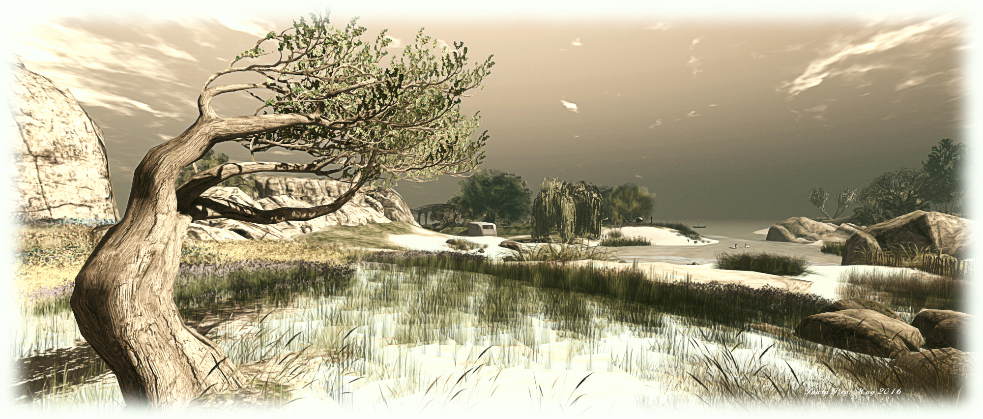
Two rocky shouldered islands make up the current design, one curved and pointing like an arrowhead to the north-west, the second more rounded and sheltered by the arms of the first, lying to the south-east. Between them runs a rocky channel of sea water spanned by the arches of a single bridge made of cut stone. Each island is also distinguished by its flora; the more northerly of the two is topped by long grasses and yellow wild flowers, while the more southerly island is rich in lilac wild flowers, given it the feel of heathland.

A number of houses and cabins at scattered across the islands, giving the impression that this is perhaps a vacation retreat; a place to come to and forget the stresses of every day life. Perhaps these islands are reached via a day trip out from a mainland which hides just over the horizon; far enough away to give the illusion of escape whilst here, but close enough to make a visit convenient.

The Trace; Inara Pey, March 2016, on Flickr The Trace

Board walks lead the visitor across the north island, winding through the grass and flowers to the beaches at either end of the island’s curve. Across the solid span of the bridge, a cobbled road leads up to the top of the island, lilac flowers encroaching upon it, and to one of the flat-topped cabins.

An old lighthouse tower stand guard at the south-westerly edge of the rounded island, waves breaking against the rocks at its feet. Follow the slope down from the cabin towards the lighthouse, and you’ll discover a wooden walkway running around the island’s rugged coastline to a broad expanse of beach, which can also be reached overland from the top of the hill. Across the beach, a small wooden bridge and deck spans the watery channel separating the beaches of the two islands and connecting them – at least at low tide.

The Trace; Inara Pey, March 2016, on Flickr The Trace

As noted at the top of this article, this iteration of The Trace is perhaps the most eye-catching in the series, all of which I’ve enjoyed visiting and exploring. Matched by a perfect ambient sound scape, a windlight which reduces colours to perfect soft tones and colours, and plenty of opportunities for photography and for just sitting and relaxing. certainly, it has already drawn Caitlyn and I back to it more than once – and it may well have the same impact on you.

SLurl Details

A return to Ironwood Hills in Second Life

Ironwood Hills; Inara Pey, March 2016, on FlickrIronwood Hills – click any image for full size

Ironwood Hills, designed by Cyrus Knight (josman2088) and Jestyr Knight (Zeke Jestyr), is perhaps not the neighbourhood we’d ideally like to pick to live. When I last visited, the town appeared to be deserted, caught within a forever twilight of swirling mist and rains, thrall to the soulful wailing of forgotten sirens.

Now occupying a new location, the story of Ironwood Hills continues – and the darkness shrouding it has not lifted; and as with the last build, this is a design which makes superb use of space, creating the feeling that the region is much larger than the supplied 65,536 square metres.

Ironwood Hills; Inara Pey, March 2016, on FlickrIronwood Hills

It is also a place where anyone who visited the last instalment of the town will, on arrival, feel an immediate sense of déjà vu. This may be a different location and the sirens may no longer be audible, but it is clearly part of the same town. Rain still falls from the heavy sky, lightning flickers, and the down town streets still offer the last vestiges of working electric lights amidst the decay. Here, however, water flooded the streets and alleys, perhaps the result of the same disaster that inundated the fairgrounds of the older Ironwood Hills build.

The flood presents the visitor with a problem. How to explore the streets without having to wade through the water and perhaps risk injury? Fortunately, the answer is supplied by a rowing boat sitting by the arrival point, allowing us to make our way around the ruined streets, past guttering street lights and the wrecks of cars and trucks; the broken windows of stores in places staring back at us like empty eye sockets.

Ironwood Hills; Inara Pey, March 2016, on FlickrIronwood Hills

With careful navigation, it is possible to reach a route up to drier land, a route which will carry you past a church. But this  may not be a the place for spiritual restoration as one might expect. Carved stone figures, faces hidden under the hoods of their robes stand menacing guard at the church gates, while alongside the entrance a sign offers Ready or Not, Jesus Is Coming more in threat than in promise of salvation.

Beyond the church, the road continues upwards, climbing to a plateau sitting just above the roof tops of the down town area. Here, behind a protective wooden palisade, sits a cliff side residential area.  Beyond the houses nestled here, the rooftops of the taller down town buildings show more signs of habitation: a makeshift hospital here, a bar and still there, little huts, the gaps of alleyways separating them bridge by wooden planks while ladders connect roofs at different heights.

Ironwood Hills; Inara Pey, March 2016, on FlickrIronwood Hills

But where are the survivors now? To find that out, you must make your way between the houses and follow the road and it winds further up into the hills, the way getting darker, the warnings more grim as you progress. I’m not going to say any more here, because to do so would spoil the element of discovery.

Suffice it to say that there is as much to seen below ground here as there is above, and that the coiled snake of tunnels that leads you beneath the hills perhaps stands as a metaphor for the twisting descent into darkness taken by those who once survived here.

Ironwood Hills; Inara Pey, March 2016, on FlickrIronwood Hills

All told, this is another superb design by Cyrus  and Jestyr, one that adds a further chapter to the dark legend of Ironwood Hills. If you like your explorations of Second Life to have something of an edge to them, this is definitely a place to visit; and if you have enjoyed the town in its earlier incarnation, then this latest chapter is certain to be one you will not want to miss.

SLurl Details

At home at The Mill in Second Life

The Mill; Inara Pey, March 2016, on FlickrThe Mill – click any image for full size

“Because it all started with a Mill and a sink. Welcome to our house, decorated by us. Hope you like it as much as we do!” So reads the description for The Mill, the homestead region designed by Maxie Daviau and Shakespeare (Skinnynilla). And to be sure, there is absolutely nothing not to like about this picturesque location, positively packed with sights and photo opportunities, as well as offering numerous places to simply sit and relax.

The landing point delivers visitors close to the centre of the region, on its eastern, lowland side. The fork in the dirt track where you arrive is an open invitation to start exploring, forward toward the rugged uplands of the west side of the region, eastwards and south towards a wooden windmill, or north towards the lighthouse sitting on a shoulder of the hills.

The Mill; Inara Pey, March 2016, on FlickrThe Mill

Caitlyn and I opted to follow the track north, towards the rocky hills, a set of stone steps leading us upwards. As we climbed, and amidst the singing of the birds and distant caw of gulls, came music of a different kind carried on the breeze. This comes from a little radio sitting within a little shack, slightly tired in appearance, wood bleached and weathered, tin roof rusting.

Tired it may look, but the shack is clearly home to someone. Flowers are tended in buckets outside, a hammock sways in the breeze and washing hangs on the lines to dry. A garden hose and sprinkler curled around an old tree stump raised on one side of the shack suggests whoever lives here enjoys a slightly bohemian touch to their life, and happily so, given the books and general bric-a-brac scattered around.

The Mill; Inara Pey, March 2016, on FlickrThe Mill

Behind the shack, a path leads on upwards to the tops of the rugged hills, the way marked by a rope path. Here sits old ruins, split by a deep box gorge. To one side sits the remnants of a small castle or fortified house, now occupied by trees, bent as with age by long exposure to the wind, their stooped forms suggesting they are ancient guardians of this place. Across the gorge, and reached by the stone span of a bridge, sits a ruined chapel and nearby tower, another path from them leading back down to the lowlands for those who wish to explore in that direction.

To the north of the homely little shack, the path will take visitors up over the rocky hills or down stone steps and past a walled garden and greenhouse and, via more steps, to the lone figure of the whitewashed lighthouse. With the warm and comfortable lounge and bedroom inside, this would seem to be the rest of the home started at the shack, the cosy little garden forming a homely link between the two.

The Mill; Inara Pey, March 2016, on FlickrThe Mill

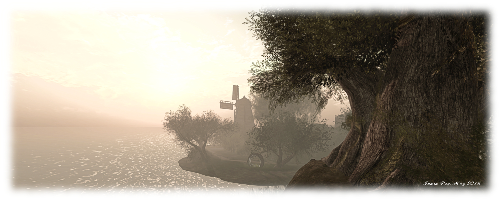
A beach beckons from below the lighthouse, and can be most quickly be reached via a zip slide which passes over a small inlet. Stone and board paths then led you onward, over water or across sand, towards the old wooden mill, sails slowly turning as it faces the revolving eye of the lighthouse across the land.

Fabulously and naturally landscaped while avoiding a reliance on mesh to achieve its look, The Mill is an incredibly eye-catching environment. There is far more to see then I’ve described here, including lots of special little touches (such as the Triumph TR3 sitting nonchalantly at the entrance to the gorge, the tea and toast in the shack, the little union flags all pointing to a certain Englishness here…). And when you have finished exploring and photographing, there are plenty of opportunities to sit and relax and snuggle; something Caitlyn and I did after all our wanderings, passing the evening chatting together and simply enjoying the sights and sounds of the island.

The Mill; Inara Pey, March 2016, on FlickrThe Mill

SLurl Details

Finnish legends and auroral displays in Second Life

Suomi - Finland; Inara Pey, March 2016, on FlickrSuomi – Finland – click any image for full size

Featured in a recent Destination Guide Highlights blog post from the Lab, is an entry for Suomi-Finland (Finnish for “Our Land”), located on the homestead region of Cubana Bay. The Guide entry describes it as, “a land rich in history, folklore, and natural wonders”, in which visitors are invited to “explore vast forests, long waterways and pristine, frozen wilderness as you chance to stumble upon various interactive and immersive elements meant to educate and inspire. ” Intrigued by the description, Caitlyn and I set out to investigate – and discovered something of a treat.

Created by Shen Molinaro and Sighvatr Sturluson, this is indeed an immersive, frozen wilderness. Snow lies deep on the ground, ice sheaths the water channels in many places, and almost the entire landscape sits beneath the boughs of tall fir trees which point to midnight sky around which an auroral display ebbs and flows.

Suomi - Finland; Inara Pey, March 2016, on FlickrSuomi – Finland

The landing point on the south side of the region should offer you an introductory note card on arrival, and we do recommend you read it, as it sets out what the region is a bout and – as importantly – offers a map of trails and points of interest. Key among the latter is the legend trail,starting at the Sámi camp, which takes you through part of the woods and to a series of small displays, each offering a note card (just touch the shaman drum at each one) on a particular aspect of Finland’s culture and mythology.

Suomi - Finland; Inara Pey, March 2016, on Flickr
Suomi – Finland

The note cards, by Sighvatr Sturluson, present a rich tapestry of Finland’s mythological heritage and are well worth reading either as you find them or later when snuggled up somewhere on the region. Through them, you can learn about the Sámi (Saemieh), the people who populated the Scandinavian peninsula long before other influences took hold. You can also discover something of the mystery of  Sampo, and meet the pantheon of old Finnish gods and discover the roles of elves, gnomes, spirits and cults in old Finnish culture.

But this is not all there is to find here. As the map reveals, there is also a wildlife trail, taking visitors past reindeer (Rangifer tarandus), bear, wolves, and deep into the forests across the semi-frozen streams and rivers. For those who prefer,  the map shows the way to an old pier where sleds can be rezzed to scoot over snow and ice – although I’d personally recommend walking, lest you miss something.

And once the exploring is done and you’re in need of a rest, camp sites can be found offering warmth, rest, and snuggles. Or for the intrepid, there’s a sauna, complete with traditional birch vihta (or vasta in Eastern Finland) for an authentic Finnish sauna experience. Just keep in mind the region is Moderate, so swimming costumes are probably best, particularly if you plan to take a roll in the snow between sauna sessions!

Suomi - Finland; Inara Pey, March 2016, on FlickrSuomi – Finland – click any image for full size

Suomi-Finland is a  beautiful design; simple but elegant, and offering the opportunity to dip oneself in the culture and ancient beliefs of another country whilst exploring it. When visiting, I would recommend using the region windlight, as suggested in the introductory notes, but would also suggest that you don’t let the recommendation to use Ultra graphics put you off; Caitlyn’s laptop tends to teeter on the edge of a major collapse if pushed much beyond Mid settings, for example, and she still found the region captivating.

SLurl Details